49 Bathurst St
An address in Wellington Place, outside TRCA flood and shoreline hazard areas, with 15 active development applications within 250 metres.
Data as of Nov 7, 2026 · Every item lists its source
- Outside TRCA flood and shoreline hazard areas.
- 15 active development applications and 1 Committee of Adjustment application within 250 m.
01The building
Recent permits (2)
- Building Permit Related(MS) · Permit Issued · Dec 1, 2015
HVAC - Proposal for interior alterations on floor 3. · Permit 15 246469 HVA - Interior Alterations · Closed · Nov 17, 2015
Proposal for interior alterations on floor 3. · Permit 15 246469 BLD
02Risks and the ground
TRCA mapping is for screening, not site-specific decisions. Lead results are voluntary samples from homes in the postal area, not this address.
03What’s changing nearby
- 1662 King St W · 78 m · Site Plan · Under ReviewOntario Line King-BathurstFile 23 138247 STE 10 SA · submitted Apr 26, 2023 · City record
- 2668 King St W · 100 m · Site Plan · Under ReviewOntario Line King-BathurstFile 23 138247 STE 10 SA · submitted Apr 26, 2023 · City record
- 3663 King St W · 117 m · Site Plan · Under ReviewOntario Line King-BathurstFile 23 138247 STE 10 SA · submitted Apr 26, 2023 · City record
- 4115 Portland St · 142 m · Site Plan · Under ReviewINACTIVE This site plan application is being reviewed concurrently with the application to amend the zoning bylaw (file No. 17 215103 STE 20 OZ) recently approved in principle by the Ontario Land Tribunal. The applications propose to…File 17 215108 STE 20 SA · submitted Aug 11, 2017 · City record
- 5582 King St W · 144 m · Site Plan · Under ReviewINACTIVE This site plan application is being reviewed concurrently with the application to amend the zoning bylaw (file No. 17 215103 STE 20 OZ) recently approved in principle by the Ontario Land Tribunal. The applications propose to…File 17 215108 STE 20 SA · submitted Aug 11, 2017 · City record
- 6580 King St W · 160 m · Site Plan · NOAC IssuedProposal for a 9-storey non-residential building (36.4 metres, exclusive of the mechanical penthouse), comprised of approximately 4,665 square metres of office uses with commercial uses on the lower levels. The revised proposal includes a…File 22 242134 STE 10 SA · submitted Dec 23, 2022 · City record
- 7578 King St W · 174 m · Site Plan · NOAC IssuedProposal for a 9-storey non-residential building (36.4 metres, exclusive of the mechanical penthouse), comprised of approximately 4,665 square metres of office uses with commercial uses on the lower levels. The revised proposal includes a…File 22 242134 STE 10 SA · submitted Dec 23, 2022 · City record
- 8675 King St W · 182 m · Site Plan · Under ReviewThe proposed development is for a 19-storey mixed-use building with a height of approximately 67.7 metres to the top of the roof (72.0 metres to the top of the mechanical penthouse) with approximately 13,035 square metres of total gross…File 22 204198 STE 10 SA · submitted Sep 15, 2022 · City record
- 971 Portland St · 188 m · Site Plan · Under ReviewProposed 40-storey, 123 metre, mixed-use building containing 413 residential units.File 24 174546 WET 03 SA · submitted Jul 4, 2024 · City record
- 1071 Portland St · 188 m · Site Plan · Under ReviewProposed mixed-use building containing 1,058 units, 23-storey and 27-storey towers atop a nine-storey base building.File 24 175201 WET 03 SA · submitted Jul 5, 2024 · City record
- 11141 Bathurst St · 197 m · Site Plan · Under ReviewSite Plan Approval for the properties at 141, 149-161 Bathurst Street, 579, 589 and 591 Richmond Street West to facilitate the development of a 12-storey office building with ground related retail. This application is being reviewing in…File 21 250827 STE 10 SA · submitted Dec 22, 2021 · City record
- 12141 Bathurst St · 197 m · Official Plan / Rezoning · Under ReviewApplication to Amend the Zoning By-law to permit the redevelopment of the site at 141, 149 - 161 Bathurst Street and 579, 589-591 Richmond Street West with a 12-storey non-residential building containing retail uses at the ground level…File 21 172654 STE 10 OZ · submitted Jun 18, 2021 · City record
Development Applications; Committee of Adjustment Applications · 60 registered short-term rentals within 250 m.
04City services
05Quick answers about 49 Bathurst St
Is 49 Bathurst St in a flood plain?
No. It is outside TRCA's mapped flood and shoreline hazard areas. Source: TRCA Regulation mapping 2025.
What is being built near 49 Bathurst St?
15 active development applications within 250 metres, the closest at 662 King St W (78 m). Source: Development Applications.
When is garbage day at 49 Bathurst St?
Collection calendar Tuesday 2. Next garbage pickup: Nov 10, 2026. Source: Solid Waste Collection Schedule.
Answers are generated from the data on this page and update when the data changes.
06From the archives
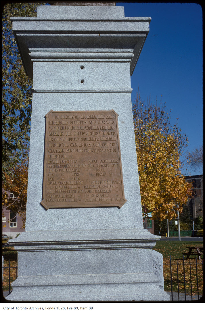
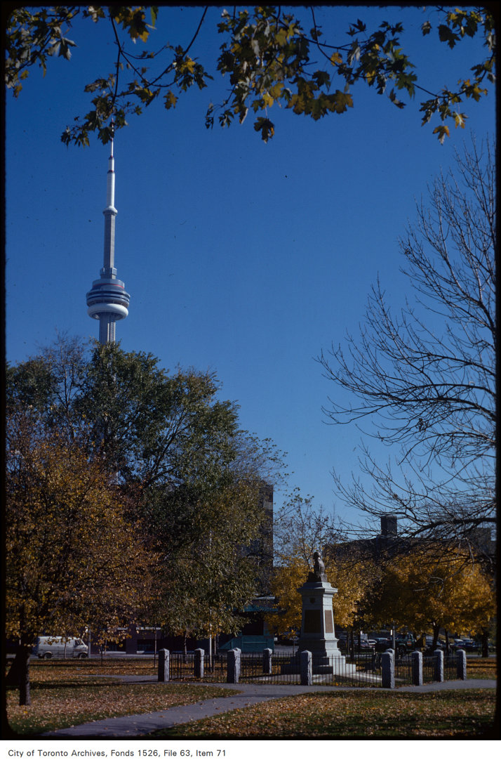
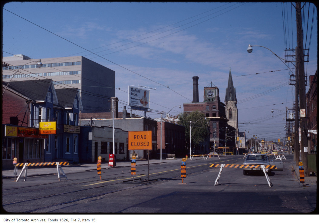
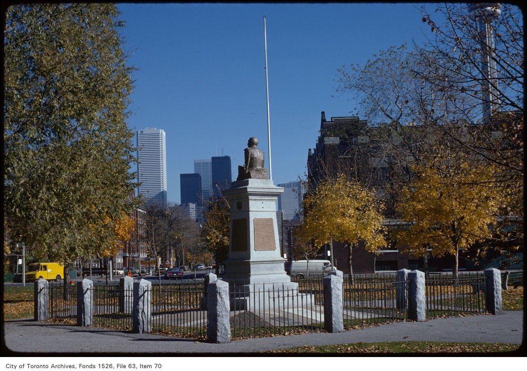
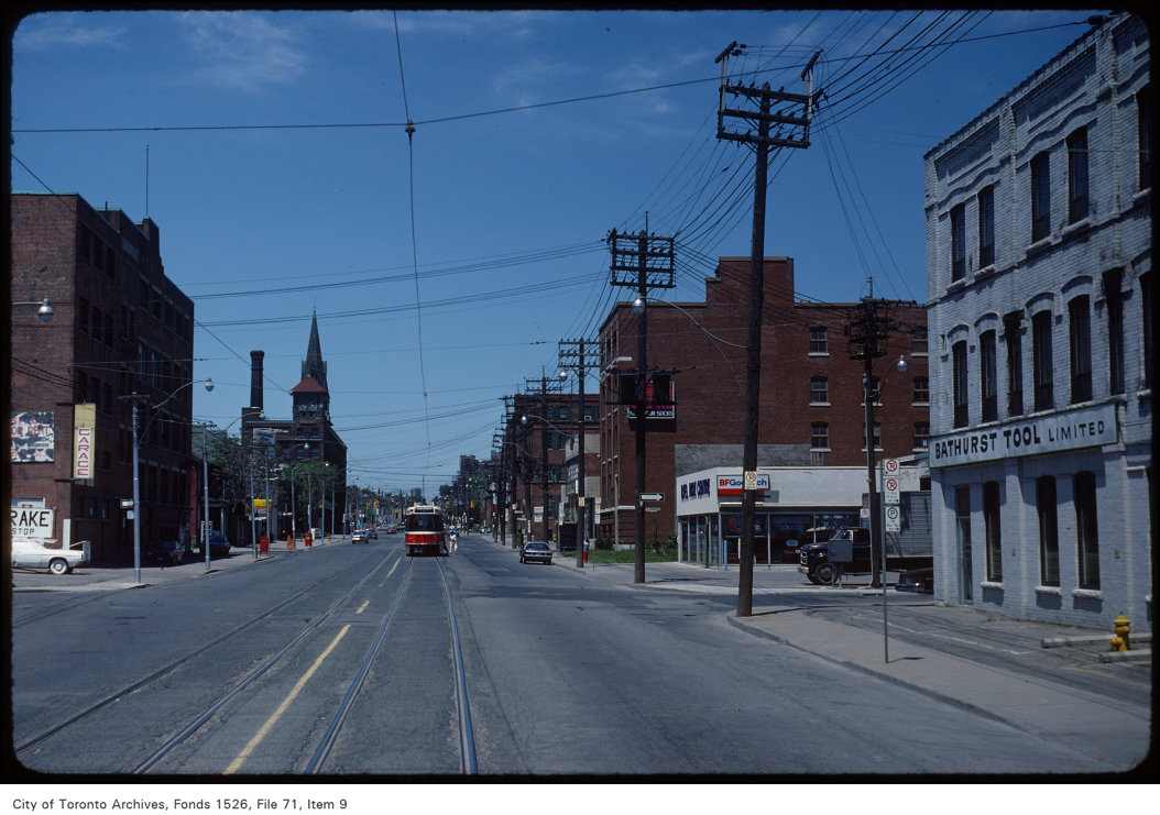

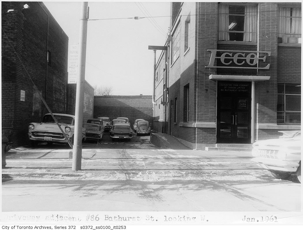
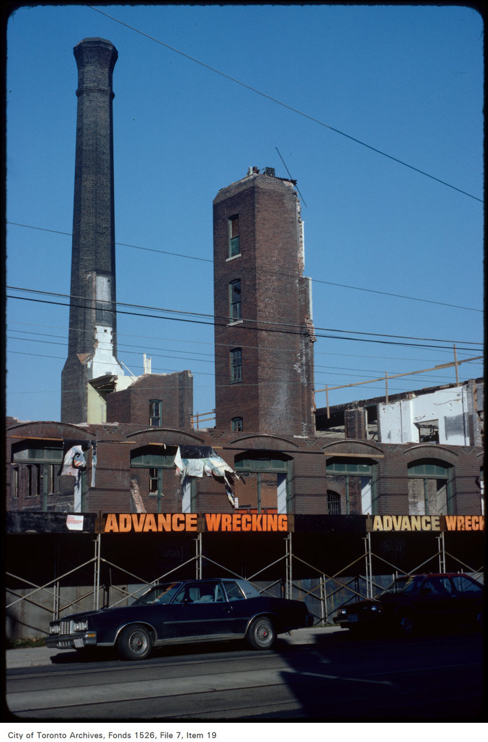
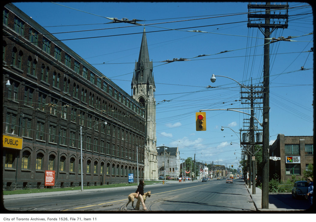
Photo locations are matched from each photo’s title against City street and address data, so some may be off. Report a wrong location