5 Ancroft Pl
An address in Rosedale-Moore Park, outside TRCA flood and shoreline hazard areas, with 11 active development applications within 250 metres.
Data as of Nov 8, 2026 · Every item lists its source
- Outside TRCA flood and shoreline hazard areas.
- 11 active development applications and 0 Committee of Adjustment applications within 250 m.
01The building
Recent permits (1)
- Party Wall Admin Permits · Closed · Jan 24, 2023
Admin permit (relating to BLD 22-226688) · Permit 22 239600 BLD
02Risks and the ground
TRCA mapping is for screening, not site-specific decisions. Lead results are voluntary samples from homes in the postal area, not this address.
03What’s changing nearby
- 129 Sherbourne St N · 99 m · Part Lot Control · ApprovedPart Lot Control Exemption for 5 Lots.File 21 202763 STE 11 PL · submitted Aug 23, 2021 · City record
- 229 Sherbourne St N · 99 m · Condominium · Draft Plan ApprovedDraft Plan of Common Elements Condominium to permit 5 separate Parcels of Tied Land (POTLs).File 21 202761 STE 11 CD · submitted Aug 23, 2021 · City record
- 327 Sherbourne St N · 105 m · Part Lot Control · ApprovedPart Lot Control Exemption for 5 Lots.File 21 202763 STE 11 PL · submitted Aug 23, 2021 · City record
- 427 Sherbourne St N · 105 m · Condominium · Draft Plan ApprovedDraft Plan of Common Elements Condominium to permit 5 separate Parcels of Tied Land (POTLs).File 21 202761 STE 11 CD · submitted Aug 23, 2021 · City record
- 531 Sherbourne St N · 108 m · Condominium · Draft Plan ApprovedDraft Plan of Common Elements Condominium to permit 5 separate Parcels of Tied Land (POTLs).File 21 202761 STE 11 CD · submitted Aug 23, 2021 · City record
- 631 Sherbourne St N · 108 m · Part Lot Control · ApprovedPart Lot Control Exemption for 5 Lots.File 21 202763 STE 11 PL · submitted Aug 23, 2021 · City record
- 733 Sherbourne St N · 116 m · Condominium · Draft Plan ApprovedDraft Plan of Common Elements Condominium to permit 5 separate Parcels of Tied Land (POTLs).File 21 202761 STE 11 CD · submitted Aug 23, 2021 · City record
- 833 Sherbourne St N · 116 m · Part Lot Control · ApprovedPart Lot Control Exemption for 5 Lots.File 21 202763 STE 11 PL · submitted Aug 23, 2021 · City record
- 935 Sherbourne St N · 118 m · Part Lot Control · ApprovedPart Lot Control Exemption for 5 Lots.File 21 202763 STE 11 PL · submitted Aug 23, 2021 · City record
- 1035 Sherbourne St N · 118 m · Condominium · Draft Plan ApprovedDraft Plan of Common Elements Condominium to permit 5 separate Parcels of Tied Land (POTLs).File 21 202761 STE 11 CD · submitted Aug 23, 2021 · City record
- 1199 Glen Rd · 227 m · Condominium · Draft Plan ApprovedCreate 4 residential units within an existing four storey buildingFile 26 125641 STE 11 CD · submitted Mar 6, 2026 · City record
Development Applications; Committee of Adjustment Applications · 1 registered short-term rentals within 250 m.
04City services
05Quick answers about 5 Ancroft Pl
Is 5 Ancroft Pl in a flood plain?
No. It is outside TRCA's mapped flood and shoreline hazard areas. Source: TRCA Regulation mapping 2025.
What is being built near 5 Ancroft Pl?
11 active development applications within 250 metres, the closest at 29 Sherbourne St N (99 m). Source: Development Applications.
When is garbage day at 5 Ancroft Pl?
Collection calendar Wednesday 1. Next garbage pickup: Nov 18, 2026. Source: Solid Waste Collection Schedule.
Answers are generated from the data on this page and update when the data changes.
06From the archives
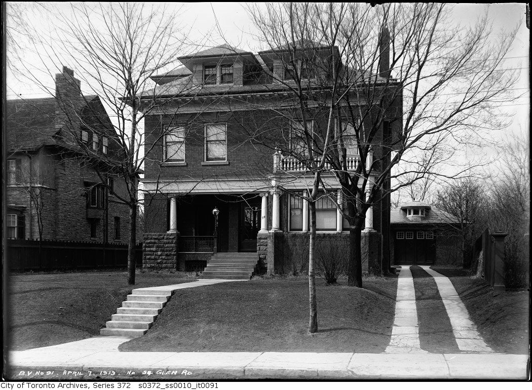
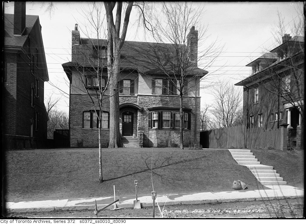
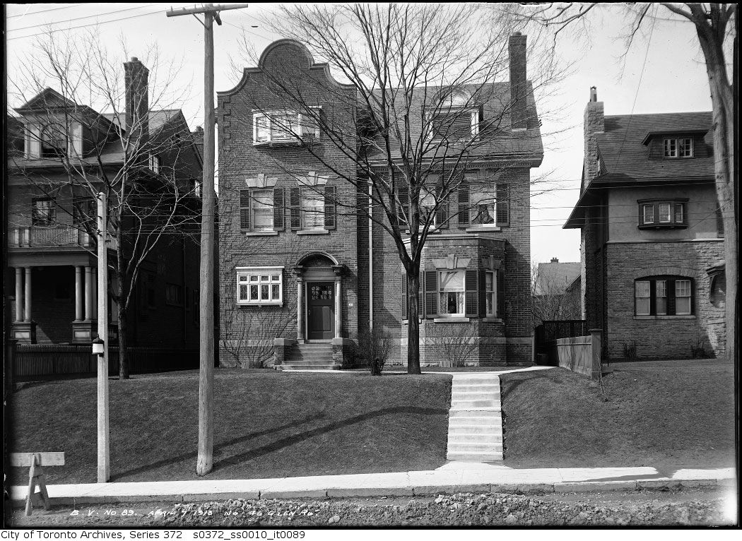
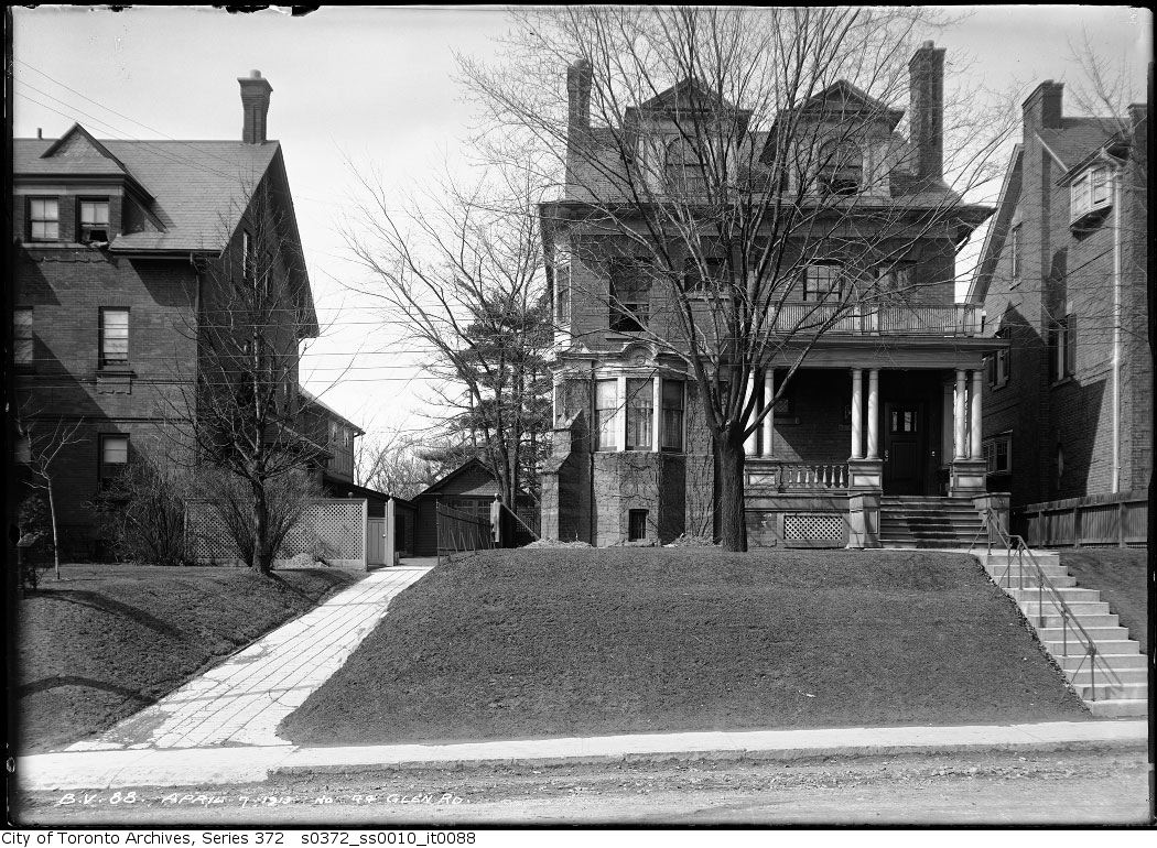
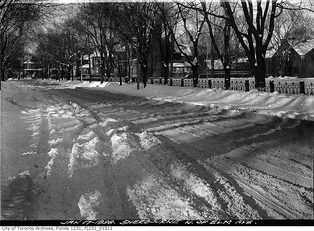
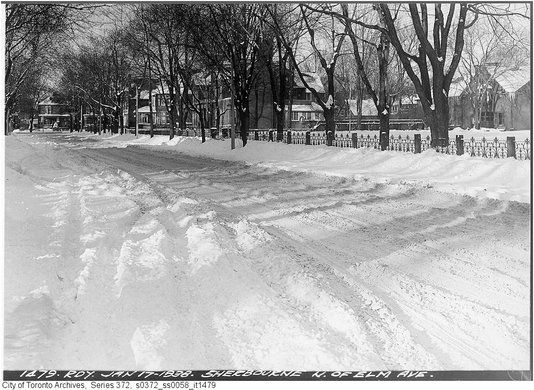
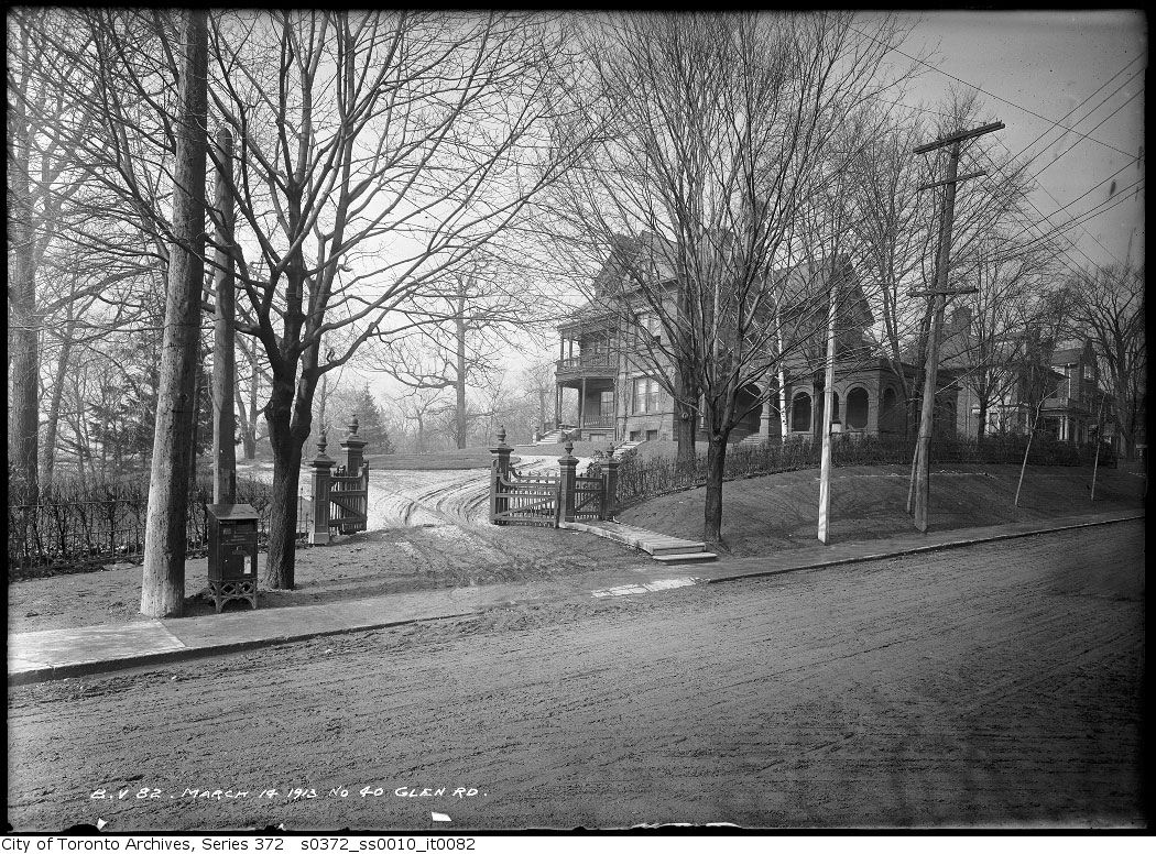
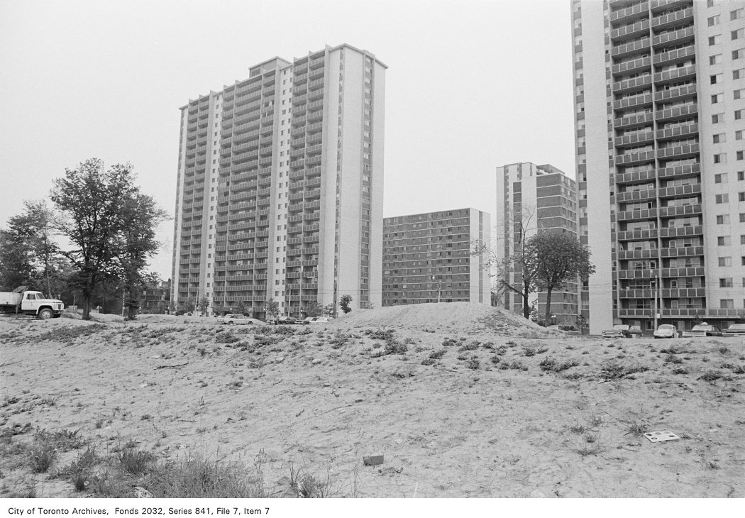
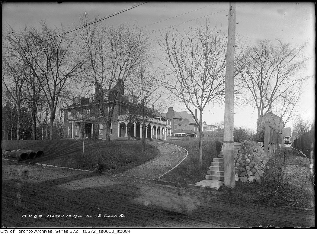
Photo locations are matched from each photo’s title against City street and address data, so some may be off. Report a wrong location