Skip to content
My Address in Toronto
Address report

577 Birchmount Rd

An address in Clairlea-Birchmount, inside a TRCA flood or shoreline hazard area, with 4 active development applications within 250 metres.

Data as of Nov 8, 2026 · Every item lists its source

Follow this address
Key findings
  • Inside a TRCA flood or shoreline hazard area.
  • 4 active development applications and 1 Committee of Adjustment application within 250 m.
RentSafe score—not a registered apartment building
Fire code violations—no inspection records
Applications5active within 250 m
Flood hazardInsideTRCA mapping
Silvio AveZenith DrDunlop AveNorth Woodrow BlvdNorth Bonnington AveElfreda BlvdAnaconda AveChestnut CresTrinnell BlvdAnnan DrBirchmount RdSt Clair Ave E12345Map data: City of Toronto (Toronto Centreline)
The red circle shows the 250-metre radius used for “Nearby” items. Numbers match the applications listed below.

01The building

ItemFindingPrecisionSource · as of
RentSafe evaluationNot a registered apartment buildingThis addressApartment Building Evaluation
Fire code inspectionsNo inspection recordsThis addressResidential Fire Inspection Results
Building orders and noticesNone on recordThis addressBuilding Construction/Demolition Violations
Building permits, last 5 years0 permitsThis addressBuilding Permits · 2 on record
Short-term rentalNot registeredThis addressShort Term Rentals Registration
Heritage statusNot on the Heritage RegisterThis addressHeritage Register
Recent permits (2)
  • Sign Building Permit Related · Closed · Sep 1, 2016
    To erect and display one wall sign, one double-sided ground sign and two overhanging structure signs.*Shell Gas Station** · Permit 16 172328 DST
  • Interior Alterations · Inspection · Aug 23, 2016
    Interior alterations to gas station convenience store (Shell- Fresh Express) · Permit 16 192420 BLD

02Risks and the ground

ItemFindingPrecisionSource · as of
River flood hazardInsideThis addressTRCA Regulation mapping 2025
Lake shoreline hazardOutsideThis addressTRCA Regulation mapping 2025
TRCA regulated areaInside — TRCA permit may be needed for workThis addressTRCA Regulation mapping 2025
Basement flooding study areaBFA34Your areaBasement Flooding Study Areas · the City divides all of Toronto into study areas; this names yours, not a risk level
Lead in tap water samples, postal area M1K0 of 33 above 0.01 ppmYour area · M1KNon Regulated Lead Sample · May 26, 2014 to Jan 22, 2025

TRCA mapping is for screening, not site-specific decisions. Lead results are voluntary samples from homes in the postal area, not this address.

03What’s changing nearby

  1. 1
    3449 St Clair Ave E · 246 m · Official Plan / Rezoning · Council Approved
    Filed in conjunction with rezoning application 21 165800 ESC 20 OZ and 22 206341 ESC 20 SA for 3431-3449 St. Clair Ave. E. Proposes redsignation of 67 Elfreda Boulevard for inclusion in the larger development. The application proposes a…
    File 22 206341 ESC 20 OZ · submitted Sep 20, 2022 · City record
  2. 2
    3449 St Clair Ave E · 246 m · Site Plan · Under Review
    The application proposes a 16-storey mixed-use building on the subject lands, with residential, retail and amenity uses at grade. The remaining residential units and amenity uses would be located on floors 2 to 16. The proposed…
    File 22 206339 ESC 20 SA · submitted Sep 20, 2022 · City record
  3. 3
    3449 St Clair Ave E · 246 m · Official Plan / Rezoning · Council Approved
    Filed in conjunction with 22 206341 ESC 20 OZ and 22 206339 ESC 20 SA. The application proposes a 16-storey mixed-use building on the subject lands, with residential, retail and amenity uses at grade. The remaining residential units and…
    File 21 165800 ESC 20 OZ · submitted Jun 4, 2021 · City record
  4. 4
    3449 St Clair Ave E · 246 m · Condominium · Under Review
    ***
    File 21 231415 ESC 20 CD · submitted Oct 28, 2021 · City record
  5. 5
    3485 St Clair Ave E · 182 m · Committee of Adjustment · Minor variance · Postponed
    To reduce the number of required parking spaces.
    File A0152/24SC · submitted May 30, 2024

Development Applications; Committee of Adjustment Applications · 1 registered short-term rentals within 250 m.

04City services

ItemFindingPrecisionSource · as of
Garbage dayNovember 19, 2026This addressCollection calendar Thursday 1
Next recyclingNovember 12, 2026This addressSolid Waste Collection Schedule
City councillorParthi KandavelWard 20Councillor_Kandavel@toronto.ca · 416-392-4052

05Quick answers about 577 Birchmount Rd

Is 577 Birchmount Rd in a flood plain?

Yes. It is inside a TRCA flood or shoreline hazard area. Source: TRCA Regulation mapping 2025.

What is being built near 577 Birchmount Rd?

4 active development applications within 250 metres, the closest at 3449 St Clair Ave E (246 m). Source: Development Applications.

When is garbage day at 577 Birchmount Rd?

Collection calendar Thursday 1. Next garbage pickup: Nov 19, 2026. Source: Solid Waste Collection Schedule.

Answers are generated from the data on this page and update when the data changes.

06From the archives
Parcel 4232, 140 Chestnut Crescent, northwest of Birchmount Road and St. Clair Avenue East
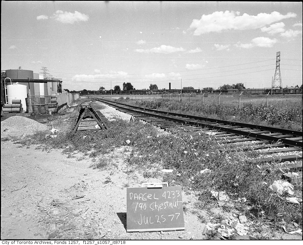
Parcel 4232, 140 Chestnut Crescent, northwest of Birchmount Road and St. Clair Avenue East, 1977. City of Toronto Archives, Fonds 1257, Series 1057, Item 8718. 76 m away.
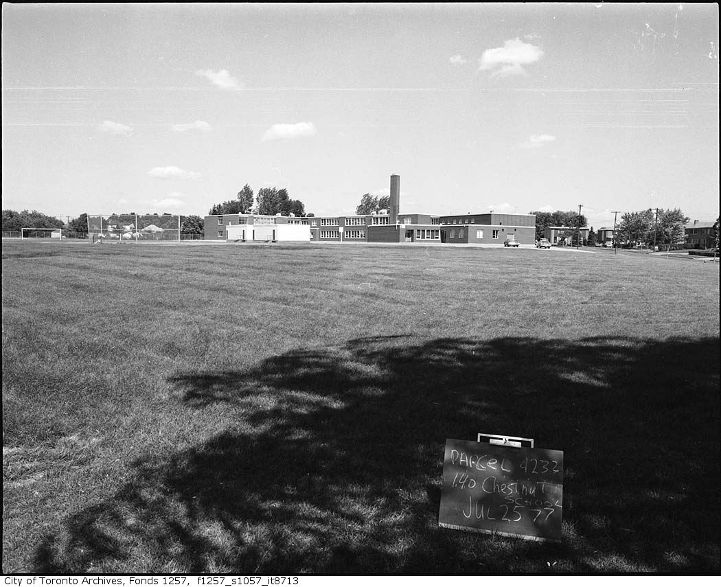
Parcel 4232, 140 Chestnut Crescent, northwest of Birchmount Road and St. Clair Avenue East
Parcel 4232, 140 Chestnut Crescent, northwest of Birchmount Road and St. Clair Avenue East, 1977. City of Toronto Archives, Fonds 1257, Series 1057, Item 8713. 76 m away.
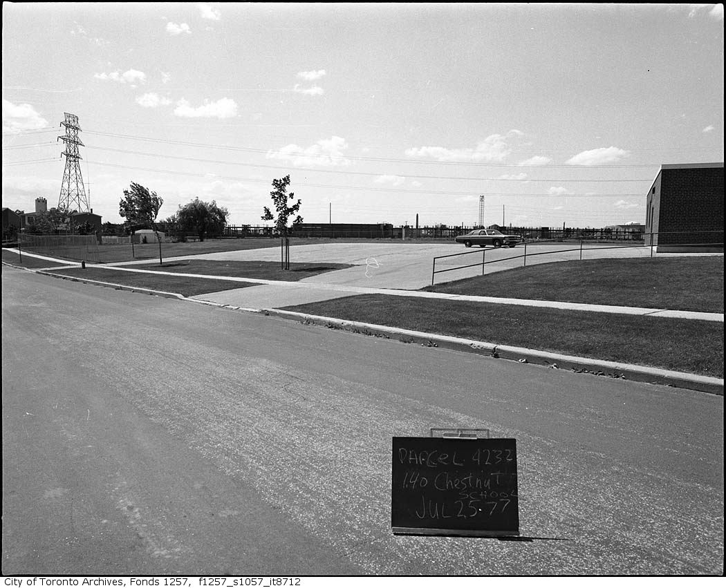
Parcel 4232, 140 Chestnut Crescent, school parking area, northwest of Birchmount Road and St. Clair Avenue East
Parcel 4232, 140 Chestnut Crescent, school parking area, northwest of Birchmount Road and St. Clair Avenue East, 1977. City of Toronto Archives, Fonds 1257, Series 1057, Item 8712. 76 m away.
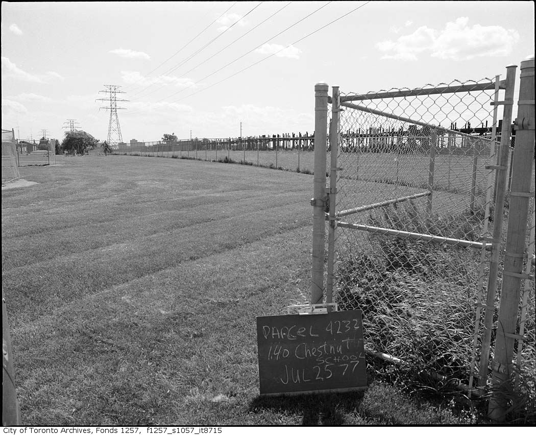
Parcel 4232, 140 Chestnut Crescent, northwest of Birchmount Road and St. Clair Avenue East
Parcel 4232, 140 Chestnut Crescent, northwest of Birchmount Road and St. Clair Avenue East, 1977. City of Toronto Archives, Fonds 1257, Series 1057, Item 8715. 76 m away.
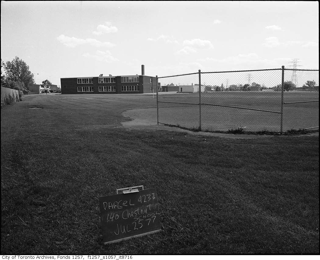
Parcel 4232, 140 Chestnut Crescent, northwest of Birchmount Road and St. Clair Avenue East
Parcel 4232, 140 Chestnut Crescent, northwest of Birchmount Road and St. Clair Avenue East, 1977. City of Toronto Archives, Fonds 1257, Series 1057, Item 8716. 76 m away.
Parcel 4232, 140 Chestnut Crescent, northwest of Birchmount Road and St. Clair Avenue East
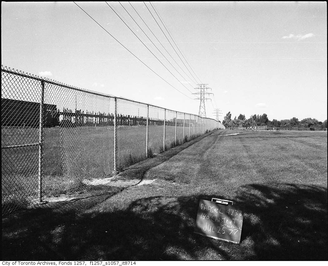
Parcel 4232, 140 Chestnut Crescent, northwest of Birchmount Road and St. Clair Avenue East, 1977. City of Toronto Archives, Fonds 1257, Series 1057, Item 8714. 76 m away.
Parcel 4232, 140 Chestnut Crescent, northwest of Birchmount Road and St. Clair Avenue East
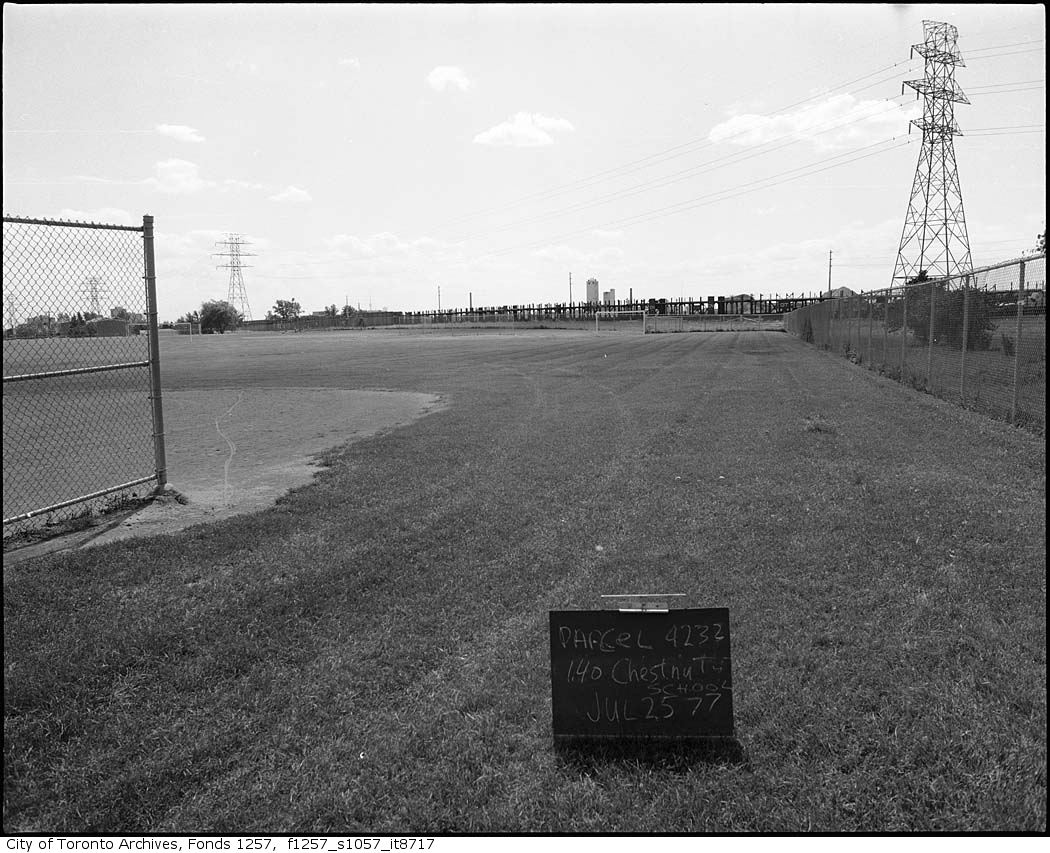
Parcel 4232, 140 Chestnut Crescent, northwest of Birchmount Road and St. Clair Avenue East, 1977. City of Toronto Archives, Fonds 1257, Series 1057, Item 8717. 76 m away.

Photo locations are matched from each photo’s title against City street and address data, so some may be off. Report a wrong location

577 Birchmount Rd, Toronto — address report · My Address in Toronto