585 King St E
A registered apartment building built in 2014 with a RentSafe score of 99, outside TRCA flood and shoreline hazard areas, with 14 active development applications within 250 metres.
Data as of Nov 7, 2026 · Every item lists its source
- RentSafe evaluation score of 99 out of 100 (evaluated Nov 10, 2025).
- No fire code violations in open inspections.
- Outside TRCA flood and shoreline hazard areas.
- 14 active development applications and 2 Committee of Adjustment applications within 250 m.
01The building
02Risks and the ground
TRCA mapping is for screening, not site-specific decisions. Lead results are voluntary samples from homes in the postal area, not this address.
03What’s changing nearby
- 17 Labatt Ave · 142 m · Site Plan · Under ReviewINACTIVE Site Plan Approval Application for a proposed 38-storey mixed-use building with 548 residential units (rental and condominium), 4752 square metres of non-residential floor area (retail, office and a Salvation Army facility), and…File 19 243731 STE 13 SA · submitted Oct 31, 2019 · City record
- 27 Labatt Ave · 142 m · Official Plan / Rezoning · Under ReviewOfficial Plan and Zoning By-law Amendment application for two 46-storey residential buildings containing approximately 1,170 dwelling units and a 2-storey non-residential building containing 1,111 square metres of non-residential space.File 26 246687 STE 13 OZ · submitted Sep 30, 2026 · City record
- 377 River St · 162 m · Site Plan · Under ReviewINACTIVE Site Plan Approval Application for a proposed 38-storey mixed-use building with 548 residential units (rental and condominium), 4752 square metres of non-residential floor area (retail, office and a Salvation Army facility), and…File 19 243731 STE 13 SA · submitted Oct 31, 2019 · City record
- 477 River St · 162 m · Official Plan / Rezoning · Under ReviewOfficial Plan and Zoning By-law Amendment application for two 46-storey residential buildings containing approximately 1,170 dwelling units and a 2-storey non-residential building containing 1,111 square metres of non-residential space.File 26 246687 STE 13 OZ · submitted Sep 30, 2026 · City record
- 583 River St · 194 m · Site Plan · NOAC IssuedSite plan application for a 37-storey mixed use building comprised of 365 dwelling units and 300 square metres of retail at grade.File 20 148320 STE 13 SA · submitted May 25, 2020 · City record
- 64 Labatt Ave · 194 m · Site Plan · NOAC IssuedSite plan application for a 37-storey mixed use building comprised of 365 dwelling units and 300 square metres of retail at grade.File 20 148320 STE 13 SA · submitted May 25, 2020 · City record
- 785 River St · 198 m · Site Plan · NOAC IssuedSite plan application for a 37-storey mixed use building comprised of 365 dwelling units and 300 square metres of retail at grade.File 20 148320 STE 13 SA · submitted May 25, 2020 · City record
- 82 Labatt Ave · 199 m · Site Plan · NOAC IssuedSite plan application for a 37-storey mixed use building comprised of 365 dwelling units and 300 square metres of retail at grade.File 20 148320 STE 13 SA · submitted May 25, 2020 · City record
- 987 River St · 203 m · Site Plan · NOAC IssuedSite plan application for a 37-storey mixed use building comprised of 365 dwelling units and 300 square metres of retail at grade.File 20 148320 STE 13 SA · submitted May 25, 2020 · City record
- 1089 River St · 210 m · Site Plan · NOAC IssuedSite plan application for a 37-storey mixed use building comprised of 365 dwelling units and 300 square metres of retail at grade.File 20 148320 STE 13 SA · submitted May 25, 2020 · City record
- 1191 River St · 214 m · Site Plan · NOAC IssuedSite plan application for a 37-storey mixed use building comprised of 365 dwelling units and 300 square metres of retail at grade.File 20 148320 STE 13 SA · submitted May 25, 2020 · City record
- 1293 River St · 219 m · Site Plan · NOAC IssuedSite plan application for a 37-storey mixed use building comprised of 365 dwelling units and 300 square metres of retail at grade.File 20 148320 STE 13 SA · submitted May 25, 2020 · City record
Development Applications; Committee of Adjustment Applications · 16 registered short-term rentals within 250 m.
04City services
05Quick answers about 585 King St E
Is 585 King St E in a flood plain?
No. It is outside TRCA's mapped flood and shoreline hazard areas. Source: TRCA Regulation mapping 2025.
Does 585 King St E have open fire code violations?
No. The City's fire inspection records show no violations in open inspections. Source: Residential Fire Inspection Results.
What is being built near 585 King St E?
14 active development applications within 250 metres, the closest at 7 Labatt Ave (142 m). Source: Development Applications.
When is garbage day at 585 King St E?
Collection calendar Wednesday 1. Next garbage pickup: Nov 18, 2026. Source: Solid Waste Collection Schedule.
Answers are generated from the data on this page and update when the data changes.
06From the archives
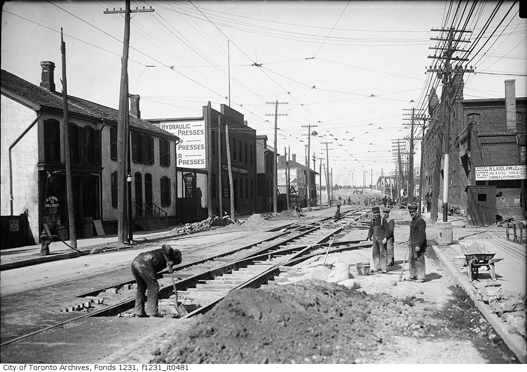


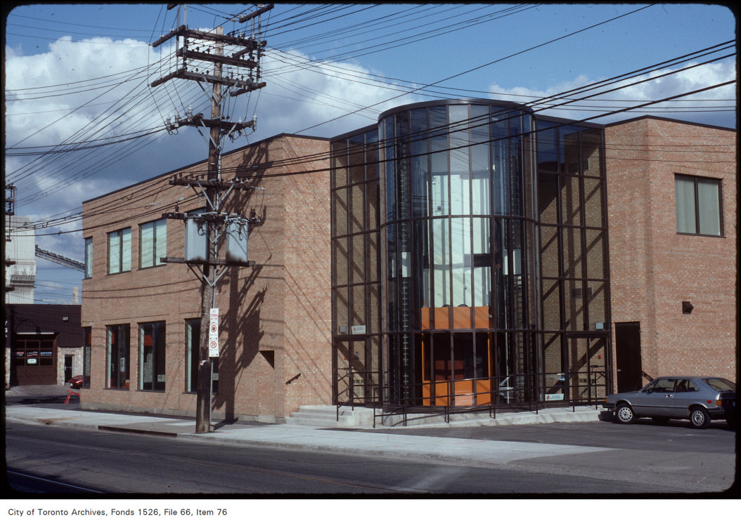
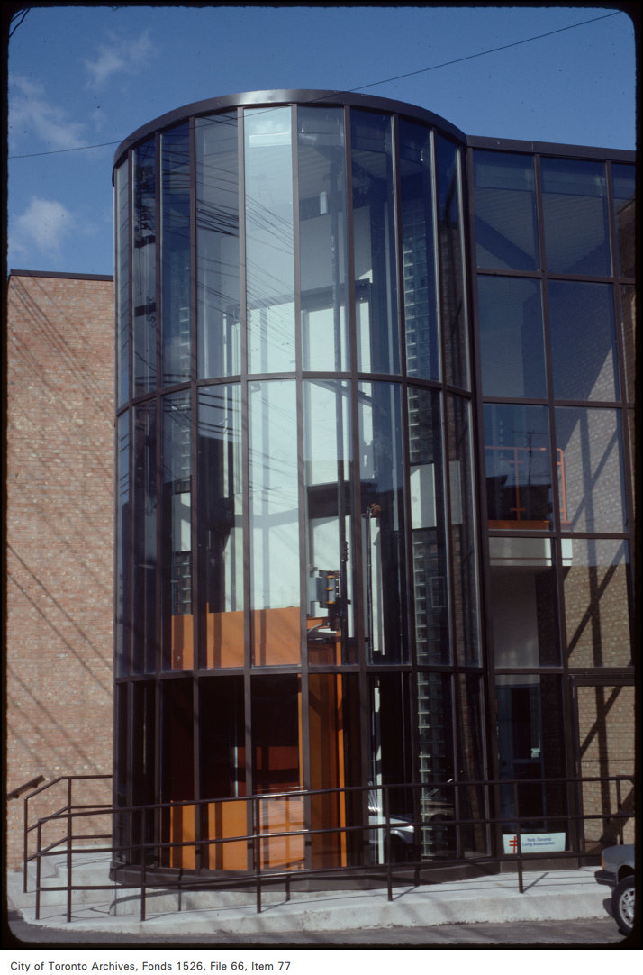
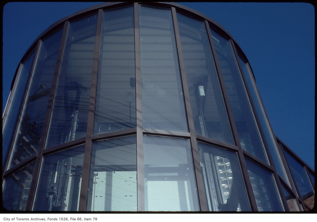
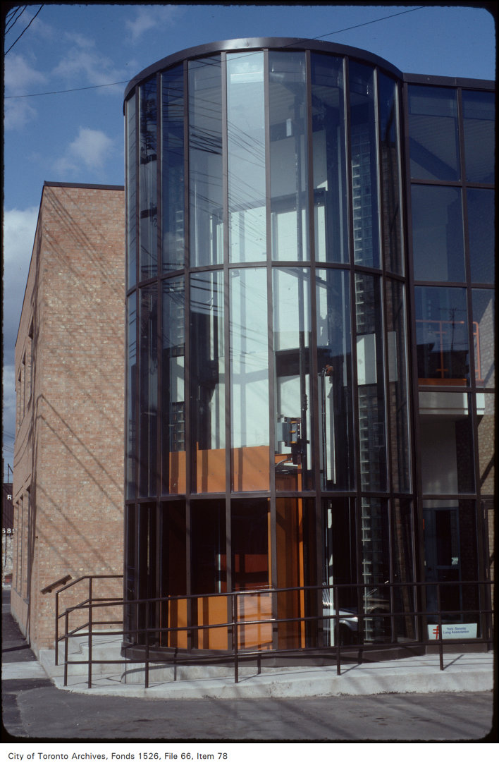
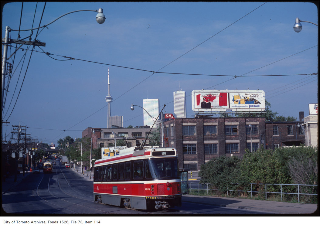
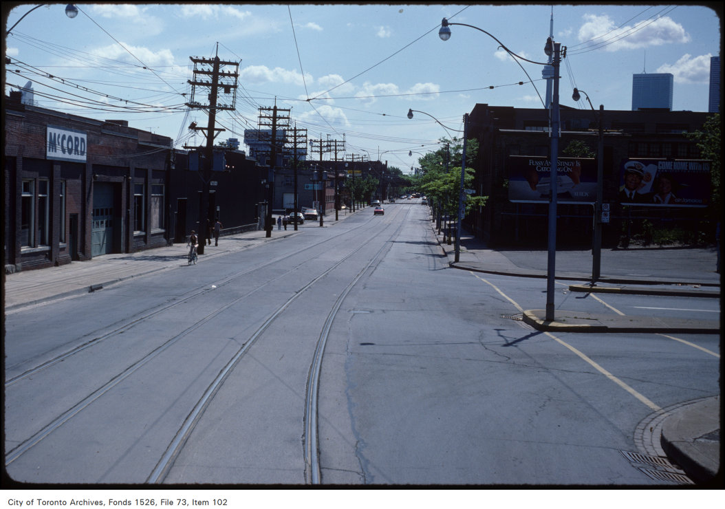
Photo locations are matched from each photo’s title against City street and address data, so some may be off. Report a wrong location