59 Berkeley St
A property on the Heritage Register (Listed), outside TRCA flood and shoreline hazard areas, with 15 active development applications within 250 metres.
Data as of Nov 7, 2026 · Every item lists its source
- On the Heritage Register (Listed).
- Outside TRCA flood and shoreline hazard areas.
- 15 active development applications and 1 Committee of Adjustment application within 250 m.
01The building
02Risks and the ground
TRCA mapping is for screening, not site-specific decisions. Lead results are voluntary samples from homes in the postal area, not this address.
03What’s changing nearby
- 1134 Parliament St · 27 m · Official Plan / Rezoning · OMB ApprovedThis application proposes a 46 storey (156.3 metres including mechanical penthouse) mixed-use building with 419 dwelling units and 328 square metres of commercial uses at grade.File 21 235796 STE 13 OZ · submitted Nov 9, 2021 · City record
- 2134 Parliament St · 27 m · Site Plan · OMB AppealSite Plan Application for a 46 storey (156.3 metres including mechanical penthouse) mixed-use building with 419 dwelling units and 328 square metres of commercial uses at grade.File 23 188919 STE 13 SA · submitted Aug 14, 2023 · City record
- 3529 Richmond St E · 32 m · Site Plan · OMB AppealSite Plan Application for a 46 storey (156.3 metres including mechanical penthouse) mixed-use building with 419 dwelling units and 328 square metres of commercial uses at grade.File 23 188919 STE 13 SA · submitted Aug 14, 2023 · City record
- 4529 Richmond St E · 32 m · Official Plan / Rezoning · OMB ApprovedThis application proposes a 46 storey (156.3 metres including mechanical penthouse) mixed-use building with 419 dwelling units and 328 square metres of commercial uses at grade.File 21 235796 STE 13 OZ · submitted Nov 9, 2021 · City record
- 5130 Parliament St · 39 m · Official Plan / Rezoning · OMB ApprovedThis application proposes a 46 storey (156.3 metres including mechanical penthouse) mixed-use building with 419 dwelling units and 328 square metres of commercial uses at grade.File 21 235796 STE 13 OZ · submitted Nov 9, 2021 · City record
- 6130 Parliament St · 39 m · Site Plan · OMB AppealSite Plan Application for a 46 storey (156.3 metres including mechanical penthouse) mixed-use building with 419 dwelling units and 328 square metres of commercial uses at grade.File 23 188919 STE 13 SA · submitted Aug 14, 2023 · City record
- 7128 Parliament St · 45 m · Site Plan · OMB AppealSite Plan Application for a 46 storey (156.3 metres including mechanical penthouse) mixed-use building with 419 dwelling units and 328 square metres of commercial uses at grade.File 23 188919 STE 13 SA · submitted Aug 14, 2023 · City record
- 8126 Parliament St · 50 m · Site Plan · OMB AppealSite Plan Application for a 46 storey (156.3 metres including mechanical penthouse) mixed-use building with 419 dwelling units and 328 square metres of commercial uses at grade.File 23 188919 STE 13 SA · submitted Aug 14, 2023 · City record
- 9161 Parliament St · 57 m · Subdivision · Under ReviewDraft Plan of subdivision for 3 blocks.File 21 235160 STE 13 SB · submitted Nov 7, 2021 · City record
- 10161 Parliament St · 57 m · Site Plan · NOAC IssuedSite Plan Application for a 28-storey mixed-use development with 526 units, 448 square metres of parkland, 1,350 square metres of non-residential gross floor area, and one level of underground parking.File 21 176821 STE 13 SA · submitted Jun 28, 2021 · City record
- 11494 Richmond St E · 83 m · Site Plan · Under ReviewThe Proposed Development will consist of approximately 35,250 square metres of total gross floor area, including about 400 square metres of commercial uses at-grade, for a total FSI of 10.1. Residential uses are located in the podium and…File 23 173470 STE 13 SA · submitted Jul 12, 2023 · City record
- 12167 Parliament St · 85 m · Site Plan · NOAC IssuedSite Plan Application for a 28-storey mixed-use development with 526 units, 448 square metres of parkland, 1,350 square metres of non-residential gross floor area, and one level of underground parking.File 21 176821 STE 13 SA · submitted Jun 28, 2021 · City record
Development Applications; Committee of Adjustment Applications · 8 registered short-term rentals within 250 m.
04City services
05Quick answers about 59 Berkeley St
Is 59 Berkeley St in a flood plain?
No. It is outside TRCA's mapped flood and shoreline hazard areas. Source: TRCA Regulation mapping 2025.
What is being built near 59 Berkeley St?
15 active development applications within 250 metres, the closest at 134 Parliament St (27 m). Source: Development Applications.
When is garbage day at 59 Berkeley St?
Collection calendar Wednesday 1. Next garbage pickup: Nov 18, 2026. Source: Solid Waste Collection Schedule.
Answers are generated from the data on this page and update when the data changes.
06From the archives
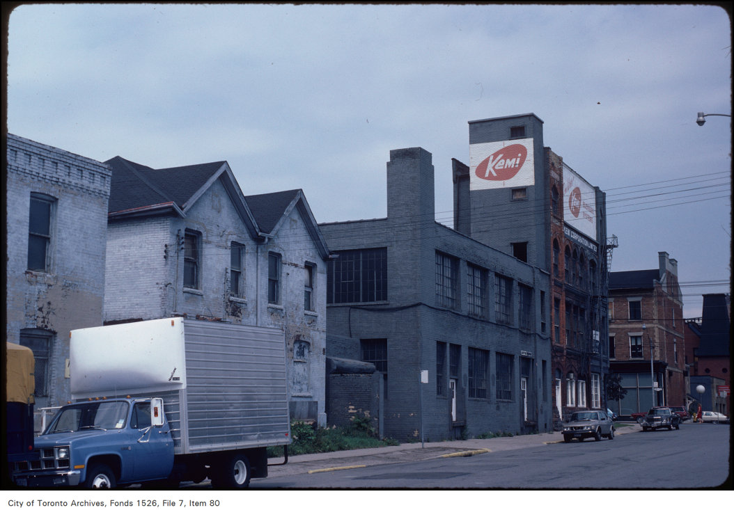
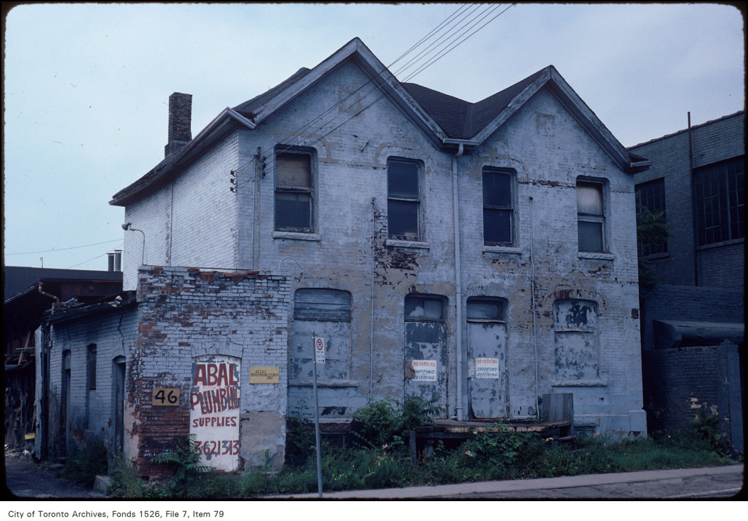

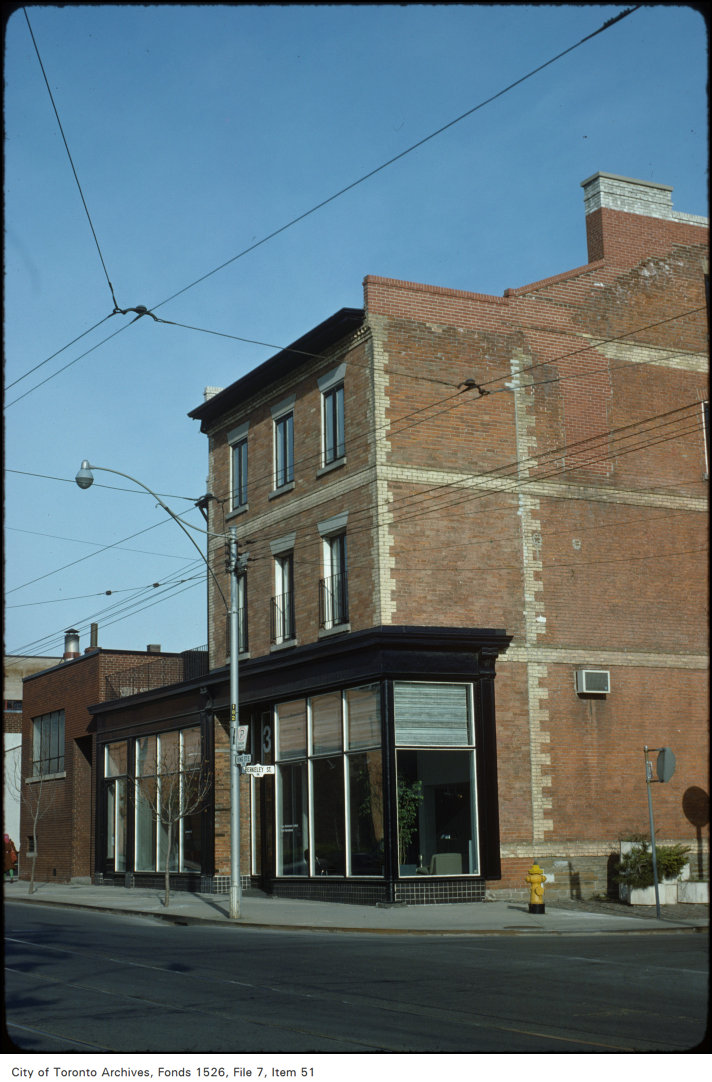
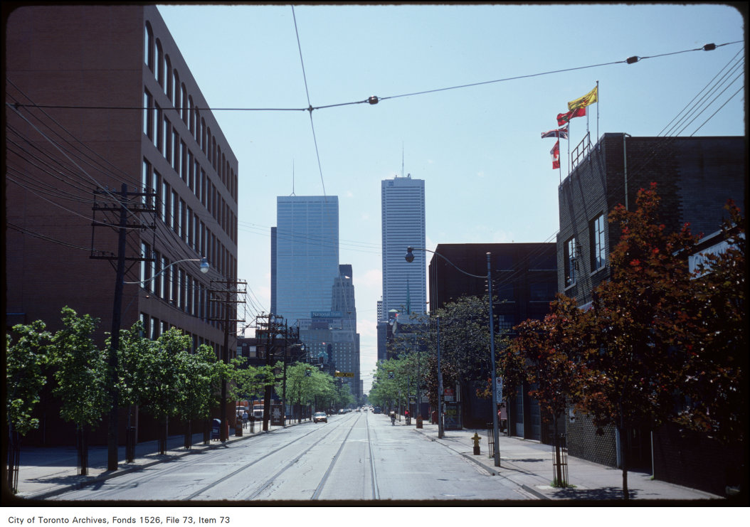
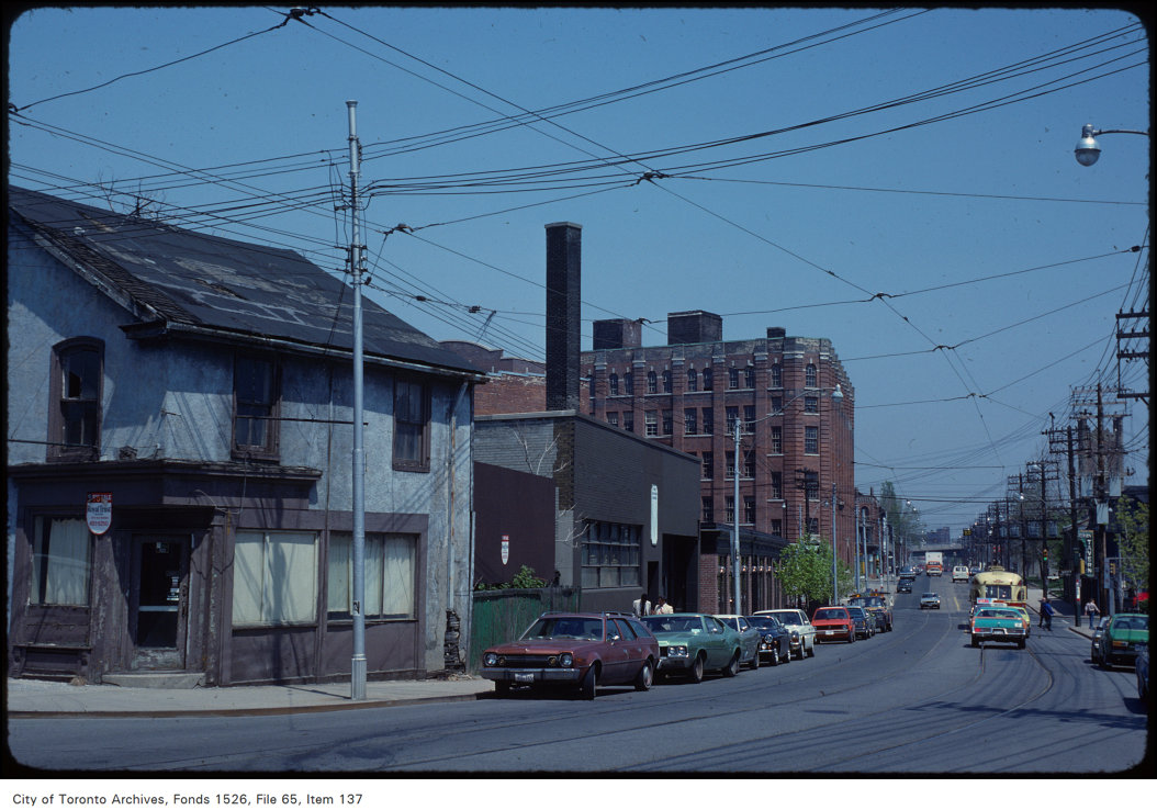

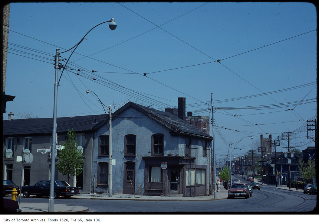
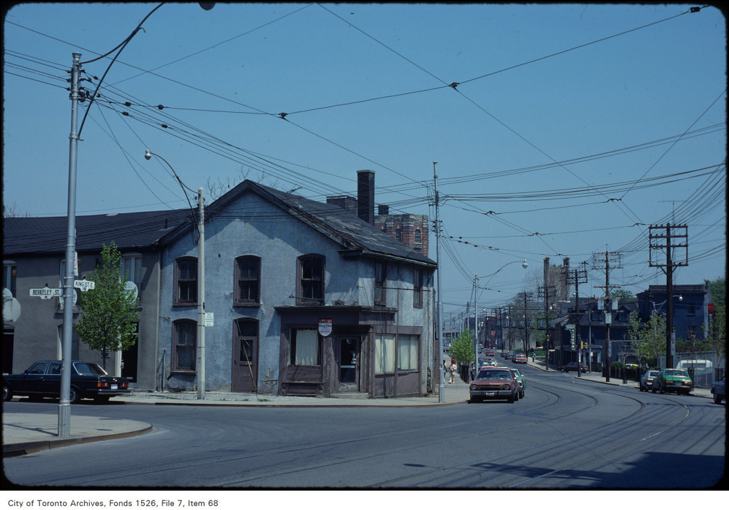
Photo locations are matched from each photo’s title against City street and address data, so some may be off. Report a wrong location