61 Charles St E
An address in Church-Wellesley, outside TRCA flood and shoreline hazard areas, with 10 active development applications within 250 metres.
Data as of Nov 8, 2026 · Every item lists its source
- Outside TRCA flood and shoreline hazard areas.
- 10 active development applications and 0 Committee of Adjustment applications within 250 m.
01The building
Recent permits (1)
- Demolition · Closed · Apr 3, 2020
Demolition of existing 3-storey apartment building containing 24 rental units. New replacement building (including replacement of rental units) has been approved, and Building Permit issued. Related… · Permit 19 247787 DEM
02Risks and the ground
TRCA mapping is for screening, not site-specific decisions. Lead results are voluntary samples from homes in the postal area, not this address.
03What’s changing nearby
- 1625 Church St · 126 m · Site Plan · Under ReviewSite Plan Approval application for a 59-storey mixed-use tower, inclusive of a 6-storey podium. The proposed non-residential gross floor area is 10,488 square metres, and a residential gross floor area of 46,282 square metres. A total of…File 21 148066 STE 11 SA · submitted Apr 30, 2021 · City record
- 290 Bloor St E · 147 m · Official Plan / Rezoning · Under ReviewZoning By-law Amendment to permit a self-storage warehouse use on floors 2-5 (formely The Bay retail space). The existing ground floor retail unit will be maintained. Access for loading and parking will be from Asquith Avenue. No new…File 26 148240 STE 11 OZ · submitted Apr 22, 2026 · City record
- 366 Charles St E · 158 m · Site Plan · Under ReviewSite Plan Approval for an 11-storey residential apartment building containing 16 dwelling units while preserving the existing heritage building.File 24 175733 STE 11 SA · submitted Jul 5, 2024 · City record
- 480 Bloor St E · 170 m · Official Plan / Rezoning · Under ReviewZoning By-law Amendment to permit a self-storage warehouse use on floors 2-5 (formely The Bay retail space). The existing ground floor retail unit will be maintained. Access for loading and parking will be from Asquith Avenue. No new…File 26 148240 STE 11 OZ · submitted Apr 22, 2026 · City record
- 590 Isabella St · 179 m · Site Plan · Under ReviewSite Plan Approval for proposed for a 69-storey mixed-use building having a gross floor area of 52,797 square metres and 837 dwelling units.File 22 153990 STE 13 SA · submitted May 30, 2022 · City record
- 62 Bloor St E · 204 m · Official Plan / Rezoning · Under ReviewZoning By-law Amendment to permit a self-storage warehouse use on floors 2-5 (formely The Bay retail space). The existing ground floor retail unit will be maintained. Access for loading and parking will be from Asquith Avenue. No new…File 26 148240 STE 11 OZ · submitted Apr 22, 2026 · City record
- 797 Collier St · 221 m · Condominium · Draft Plan Approved*** Draft Plan of Condominium for 300 residential dwelling units.There are concurrent rezoning and site plan control applications that are under review: 20 220898 STE 11 OZ and 21 194034 STE 11 SAFile 21 215499 STE 11 CD · submitted Sep 21, 2021 · City record
- 893 Collier St · 227 m · Condominium · Draft Plan Approved*** Draft Plan of Condominium for 300 residential dwelling units.There are concurrent rezoning and site plan control applications that are under review: 20 220898 STE 11 OZ and 21 194034 STE 11 SAFile 21 215499 STE 11 CD · submitted Sep 21, 2021 · City record
- 989 Collier St · 233 m · Condominium · Draft Plan Approved*** Draft Plan of Condominium for 300 residential dwelling units.There are concurrent rezoning and site plan control applications that are under review: 20 220898 STE 11 OZ and 21 194034 STE 11 SAFile 21 215499 STE 11 CD · submitted Sep 21, 2021 · City record
- 1085 Collier St · 236 m · Condominium · Draft Plan Approved*** Draft Plan of Condominium for 300 residential dwelling units.There are concurrent rezoning and site plan control applications that are under review: 20 220898 STE 11 OZ and 21 194034 STE 11 SAFile 21 215499 STE 11 CD · submitted Sep 21, 2021 · City record
Development Applications; Committee of Adjustment Applications · 19 registered short-term rentals within 250 m.
04City services
05Quick answers about 61 Charles St E
Is 61 Charles St E in a flood plain?
No. It is outside TRCA's mapped flood and shoreline hazard areas. Source: TRCA Regulation mapping 2025.
What is being built near 61 Charles St E?
10 active development applications within 250 metres, the closest at 625 Church St (126 m). Source: Development Applications.
Answers are generated from the data on this page and update when the data changes.
06From the archives

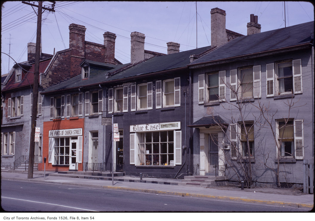

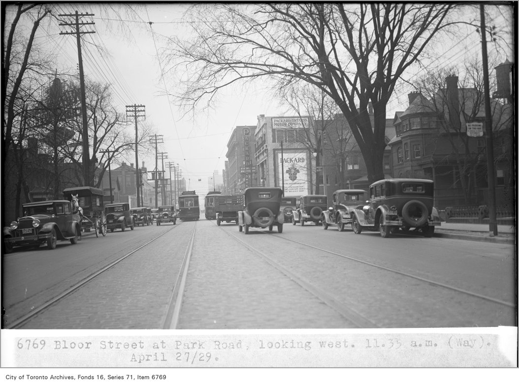

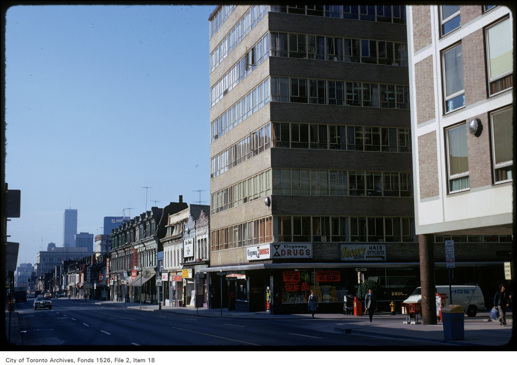
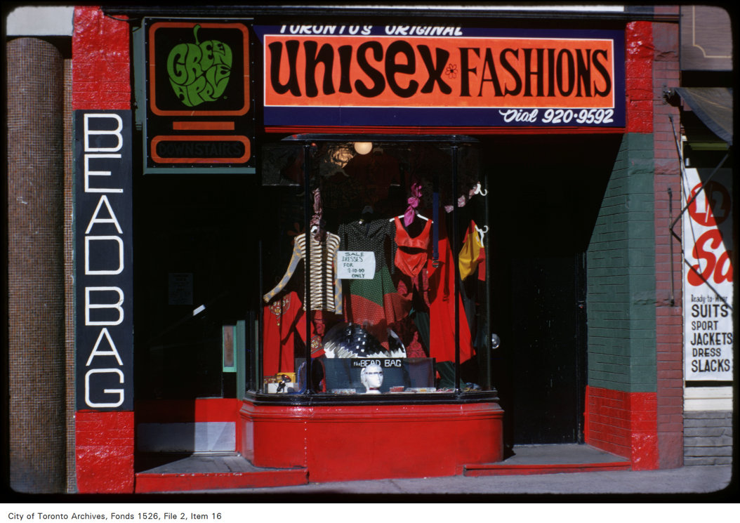
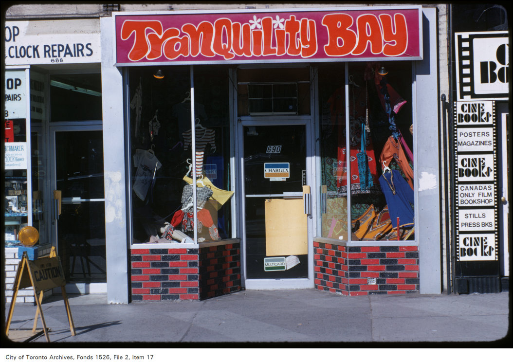

Photo locations are matched from each photo’s title against City street and address data, so some may be off. Report a wrong location