Basement flooding study areaBFA44Your areaBasement Flooding Study Areas · the City divides all of Toronto into study areas; this names yours, not a risk level
Lead in tap water samples, postal area M6E15 of 384 above 0.01 ppmYour area · M6ENon Regulated Lead Sample · Jan 13, 2014 to Aug 27, 2026
TRCA mapping is for screening, not site-specific decisions. Lead results are voluntary samples from homes in the postal area, not this address.
03What’s changing nearby
1
1233 St Clair Ave W· 207 m · Committee of Adjustment · Minor variance · OMB Appeal
To construct a 3-storey, mixed-use building containing retail and office uses.
File A173/16EYK · submitted Mar 1, 2016
Development Applications; Committee of Adjustment Applications · 8 registered short-term rentals within 250 m.
No. It is outside TRCA's mapped flood and shoreline hazard areas. Source: TRCA Regulation mapping 2025.
Does 63 Boon Ave have open fire code violations?
No. The City's fire inspection records show no violations in open inspections. Source: Residential Fire Inspection Results.
What is being built near 63 Boon Ave?
0 active development applications within 250 metres. Source: Development Applications.
When is garbage day at 63 Boon Ave?
Collection calendar Friday 1. Next garbage pickup: Nov 20, 2026. Source: Solid Waste Collection Schedule.
Answers are generated from the data on this page and update when the data changes.
06From the archives
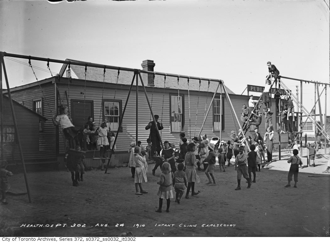
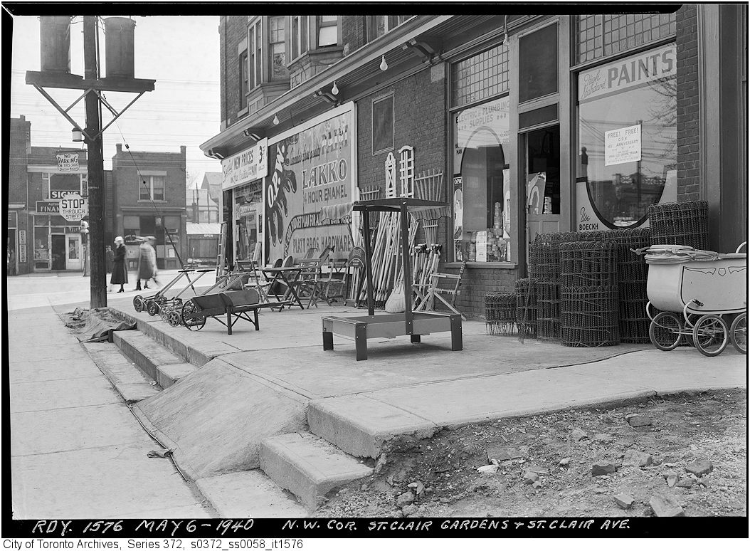
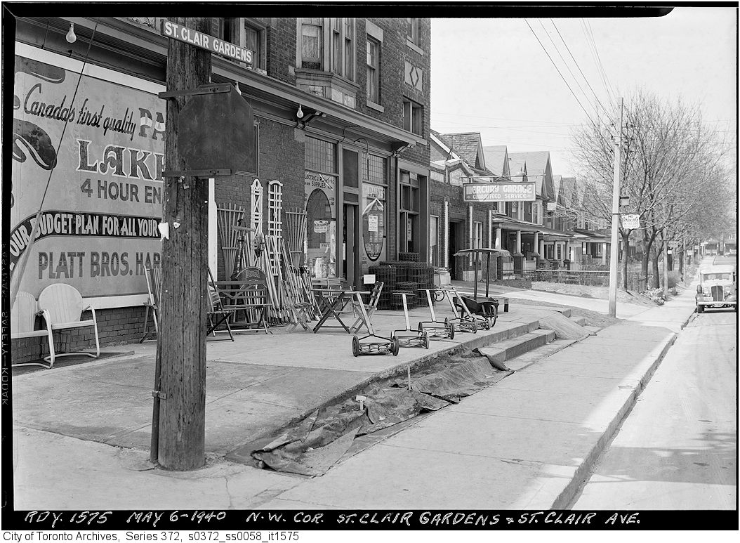
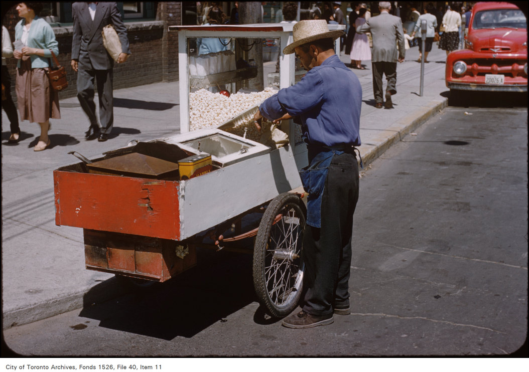
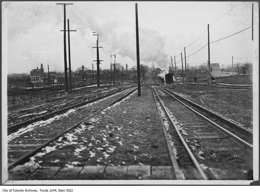
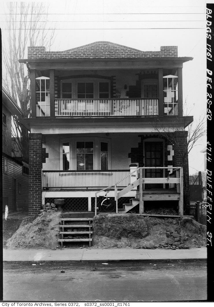
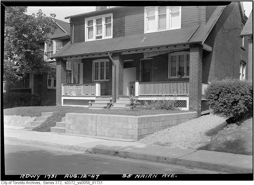
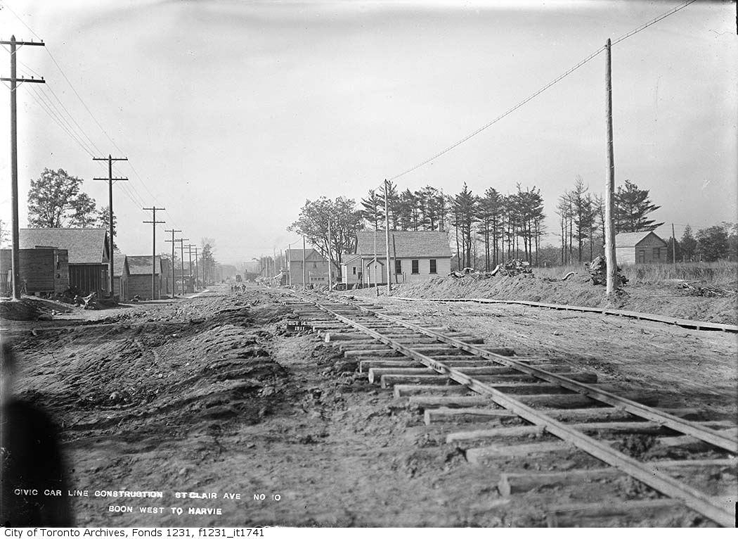
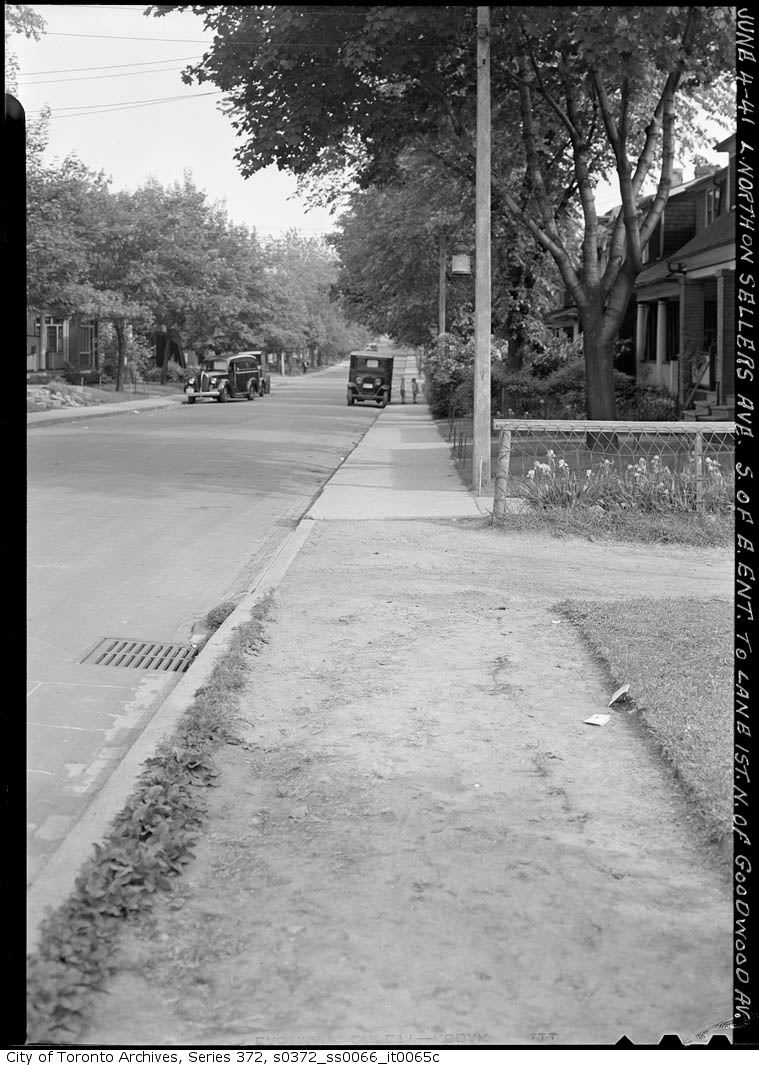
Infant Clinic - Earlscourt Avenue (northwest corner of Boon and Ascot Streets), 1914. City of Toronto Archives, Fonds 200, Series 372, Subseries 32, Item 302. 142 m away.Northwest corner St. Clair Avenue & St. Clair Gardens, 1940. City of Toronto Archives, Fonds 200, Series 372, Subseries 58, Item 1576. 192 m away.Northwest corner St. Clair Avenue & St. Clair Gardens, 1940. City of Toronto Archives, Fonds 200, Series 372, Subseries 58, Item 1575. 192 m away.Vendor at St. Clair Ave and St. Clair Gardens, 1958. City of Toronto Archives, Fonds 1526, File 40, Item 11. 192 m away.West end of civic car line, St. Clair Avenue West at Earlscourt, 1911. City of Toronto Archives, Fonds 1244, Item 5022. 212 m away.1714 Dufferin Street, 1950. City of Toronto Archives, Fonds 200, Series 372, Subseries 1, Item 1761. 232 m away.95 Nairn Avenue, 1947. City of Toronto Archives, Fonds 200, Series 372, Subseries 58, Item 1731. 235 m away.St. Clair Avenue, Boon Avenue west to Harvie Avenue, 1911. City of Toronto Archives, Fonds 1231, Item 1741. 245 m away.Sellers Avenue at lane 1st north of Goodwood Avenue, 1941. City of Toronto Archives, Fonds 200, Series 372, Subseries 66, Item 65C. 249 m away.
Photo locations are matched from each photo’s title against City street and address data, so some may be off. Report a wrong location
We use Google Analytics cookies to see which parts of the site help people. We never send the addresses you search. Privacy
63 Boon Ave, Toronto — address report · My Address in Toronto