Basement flooding study areaBFA44Your areaBasement Flooding Study Areas · the City divides all of Toronto into study areas; this names yours, not a risk level
Lead in tap water samples, postal area M5R4 of 188 above 0.01 ppmYour area · M5RNon Regulated Lead Sample · Jan 22, 2014 to Aug 27, 2026
TRCA mapping is for screening, not site-specific decisions. Lead results are voluntary samples from homes in the postal area, not this address.
03What’s changing nearby
1
361 Davenport Rd· 155 m · Site Plan · NOAC Issued
Applicant requested file closure- please see email chain in the 'Attachment' tab.Proposal for a 7-storey mixed use building with 16 dwelling units and commercial (office) component fronting on Davenport Road.
File 20 195242 STE 11 SA · submitted Sep 17, 2020 · City record
2
115 Dupont St· 214 m · Site Plan · NOAC Issued
The Proposed Building for 115 Dupont st. is a Group D 5 storey office building with a typical floor plate of 213 m2 and a gross floor area of 884 m2.The proposed building will contain 4 office units, one per floor, and includes 5 parking…
File 15 268295 STE 20 SA · submitted Dec 22, 2015 · City record
Development Applications; Committee of Adjustment Applications · 12 registered short-term rentals within 250 m.
No. It is outside TRCA's mapped flood and shoreline hazard areas. Source: TRCA Regulation mapping 2025.
Does 635 Huron St have open fire code violations?
No. The City's fire inspection records show no violations in open inspections. Source: Residential Fire Inspection Results.
What is being built near 635 Huron St?
2 active development applications within 250 metres, the closest at 361 Davenport Rd (155 m). Source: Development Applications.
When is garbage day at 635 Huron St?
Collection calendar Tuesday 2. Next garbage pickup: Nov 10, 2026. Source: Solid Waste Collection Schedule.
Answers are generated from the data on this page and update when the data changes.
06From the archives
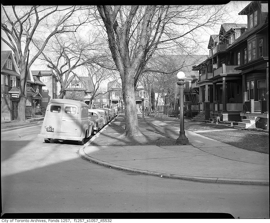
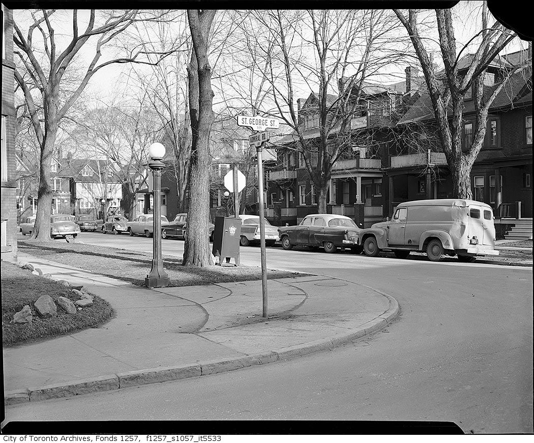
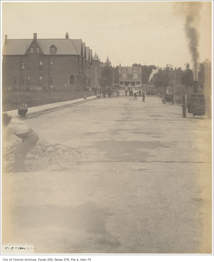
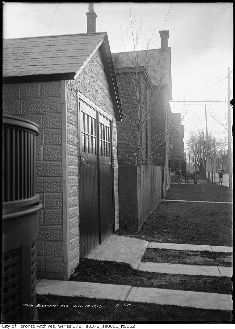
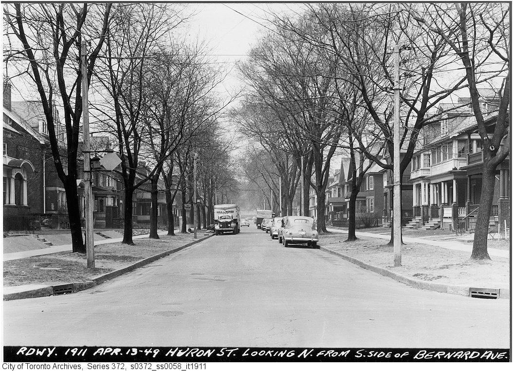
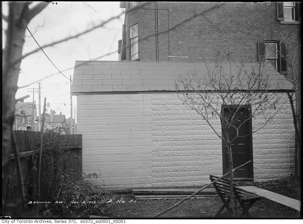
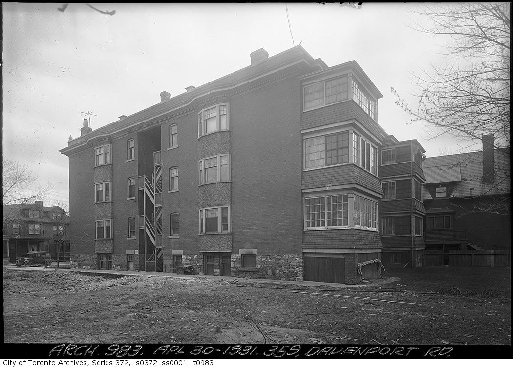
Admiral Road, east side, looking north from St. George Street, 1957. City of Toronto Archives, Fonds 1257, Series 1057, Item 5532. 82 m away.Admiral Road, east side, looking northeast from St. George Street, 1957. City of Toronto Archives, Fonds 1257, Series 1057, Item 5533. 82 m away.St. George St., w. side, rear of premises, from Dupont St. to Bernard Ave.; looking east. , 1890. Courtesy of Toronto Public Library. 95 m away.Huron St., looking n. from Dupont St. to C.P.R. tracks. , 1957. Courtesy of Toronto Public Library. 132 m away.St. George Street south of Dupont Street,. old concrete, 1904. City of Toronto Archives, Fonds 200, Series 376, File 4, Item 73. 151 m away.Bernard Avenue near Huron — garage, 1913. City of Toronto Archives, Fonds 200, Series 372, Subseries 1, Item 52. 180 m away.Huron Street looking north from south side of Bernard Avenue, 1949. City of Toronto Archives, Fonds 200, Series 372, Subseries 58, Item 1911. 180 m away.Bernard Avenue near Huron — garage, 1913. City of Toronto Archives, Fonds 200, Series 372, Subseries 1, Item 51. 180 m away.359 Davenport Road, 1931. City of Toronto Archives, Fonds 200, Series 372, Subseries 1, Item 983. 181 m away.
Photo locations are matched from each photo’s title against City street and address data, so some may be off. Report a wrong location
We use Google Analytics cookies to see which parts of the site help people. We never send the addresses you search. Privacy
635 Huron St, Toronto — address report · My Address in Toronto