65 Scadding Ave
An address in St Lawrence-East Bayfront-The Islands, outside TRCA flood and shoreline hazard areas, with 15 active development applications within 250 metres.
Data as of Nov 7, 2026 · Every item lists its source
- 10 fire code violations recorded in open inspections (most recent opened Apr 9, 2026).
- Outside TRCA flood and shoreline hazard areas.
- 15 active development applications and 0 Committee of Adjustment applications within 250 m.
01The building
Open fire code items (10)
- 1.1.2.1./6.5.5.3. Records of Test (Water Flow Test) · opened Apr 9, 2026
- Distance above floor · opened Apr 9, 2026
- 1.1.2.1./6.2.7.5. Records of Test (Fire Extinguishers) · opened Apr 9, 2026
- Maintenance of closures · opened Apr 9, 2026
- 1.1.2.1./6.7.1.1. Records of Test (Emergency Power Systems) · opened Apr 9, 2026
- CH 470 - S.6 · opened Apr 9, 2026
- Check, Inspect and Test · opened Apr 9, 2026
- 1.1.2.1./6.3.2.2. Records of Test (Fire Alarm) · opened Apr 9, 2026
- Measures in a fire safety plan · opened Apr 9, 2026
- 1.1.2.1./7.3.1.2. Records of Test (Smoke Control) · opened Apr 9, 2026
Recent permits (8)
- Building Permit Related(PS) · Inspection · Jul 23, 2026
Plumbing - Proposal for interior alteration - washroom. · Permit 26 170087 PLB - Garage Repair/Reconstruction · Permit Issued · Jul 16, 2026
Proposal for garage repairs. · Permit 26 158558 BLD - Interior Alterations · Inspection · Jun 25, 2026
Proposal for interior alteration - washroom. · Permit 26 170087 BLD - Interior Alterations · Examiner's Notice Sent · May 5, 2025
Propose converting the existing dining room into an interior bedroom by building a non-structural partition wall with a clear glass door and closet · Permit 25 154184 BLD - Interior Alterations · Permit Issued · Aug 6, 2024
Pour concrete to raise the pool floor to a new shallower depth · Permit 24 169464 BLD - Interior Alterations · Revision Issued · Dec 14, 2023
REVISION 01: EXISTING PERMIT # 23 140061 BLD 00 BAProposed 1hr FRR demising partition between existing PH1-PH2 and PH27-PH28 · Permit 23 140061 BLD - Garage Repair/Reconstruction · Permit Issued · Dec 12, 2023
Phase 1 2023 - Post tensioning repairs. (level A and Level B) Perform full lenth postetension cable replacement where identifed on reference plan drawing SK-2 and SK-3 attached. Phase 2 2023 -… · Permit 23 173422 BLD - Interior Alterations · Inspection · May 17, 2023
Proposed 1hr FRR demising partition between existing PH1-PH2 and PH27-PH28 · Permit 23 140061 BLD
02Risks and the ground
TRCA mapping is for screening, not site-specific decisions. Lead results are voluntary samples from homes in the postal area, not this address.
03What’s changing nearby
- 1333 King St E · 83 m · Official Plan / Rezoning · Council ApprovedThe application to amend the Zoning By-law proposes two new buildings for the property at 333-351 King Street East & 200 Front Street East. The proposed development includes a 37-storey residential building (140 metres tall) on the west…File 18 196225 STE 28 OZ · submitted Jul 18, 2018 · City record
- 2351 King St E · 92 m · Official Plan / Rezoning · Council ApprovedThe application to amend the Zoning By-law proposes two new buildings for the property at 333-351 King Street East & 200 Front Street East. The proposed development includes a 37-storey residential building (140 metres tall) on the west…File 18 196225 STE 28 OZ · submitted Jul 18, 2018 · City record
- 3200 Front St E · 109 m · Official Plan / Rezoning · Council ApprovedThe application to amend the Zoning By-law proposes two new buildings for the property at 333-351 King Street East & 200 Front Street East. The proposed development includes a 37-storey residential building (140 metres tall) on the west…File 18 196225 STE 28 OZ · submitted Jul 18, 2018 · City record
- 4250 Front St E · 124 m · Site Plan · Under Reviewfor Corktown stationFile 23 142019 STE 13 SA · submitted May 5, 2023 · City record
- 5296 King St E · 152 m · Official Plan / Rezoning · OMB ApprovedThis application proposes a 46-storey (158.2 metres including mechanical penthouse) mixed-use building with 478 dwelling units and 663 square metres of retail at grade.File 21 235932 STE 13 OZ · submitted Nov 9, 2021 · City record
- 6298 King St E · 156 m · Official Plan / Rezoning · OMB ApprovedThis application proposes a 46-storey (158.2 metres including mechanical penthouse) mixed-use building with 478 dwelling units and 663 square metres of retail at grade.File 21 235932 STE 13 OZ · submitted Nov 9, 2021 · City record
- 7298 King St E · 156 m · Site Plan · OMB AppealSite Plan Application for a 42-storey (139.90 metres including mechanical penthouse) mixed-use building with 1,188 square metres of commercial uses at grade and 449 dwelling units.File 23 188669 STE 13 SA · submitted Aug 14, 2023 · City record
- 8300 King St E · 160 m · Official Plan / Rezoning · OMB ApprovedThis application proposes a 46-storey (158.2 metres including mechanical penthouse) mixed-use building with 478 dwelling units and 663 square metres of retail at grade.File 21 235932 STE 13 OZ · submitted Nov 9, 2021 · City record
- 9266 King St E · 162 m · Subdivision · Under ReviewDraft Plan of Subdivision for 5 development blocks.File 21 226321 STE 13 SB · submitted Oct 15, 2021 · City record
- 10266 King St E · 162 m · Site Plan · Under ReviewSite Plan Approval for two mixed-use towers having heights of 38 and 40 storeys. The proposed non-residential gross floor area is 5,490 square metres, and the proposed residential gross floor area is 62,695 square metres. A total of 819…File 21 226317 STE 13 SA · submitted Oct 15, 2021 · City record
- 11260 King St E · 166 m · Subdivision · Under ReviewDraft Plan of Subdivision for 5 development blocks.File 21 226321 STE 13 SB · submitted Oct 15, 2021 · City record
- 12260 King St E · 166 m · Site Plan · Under ReviewSite Plan Approval for two mixed-use towers having heights of 38 and 40 storeys. The proposed non-residential gross floor area is 5,490 square metres, and the proposed residential gross floor area is 62,695 square metres. A total of 819…File 21 226317 STE 13 SA · submitted Oct 15, 2021 · City record
Development Applications; Committee of Adjustment Applications · 25 registered short-term rentals within 250 m.
04City services
05Quick answers about 65 Scadding Ave
Is 65 Scadding Ave in a flood plain?
No. It is outside TRCA's mapped flood and shoreline hazard areas. Source: TRCA Regulation mapping 2025.
Does 65 Scadding Ave have open fire code violations?
10 violations are recorded in open fire inspections, the most recent opened Apr 9, 2026. Source: Residential Fire Inspection Results.
What is being built near 65 Scadding Ave?
15 active development applications within 250 metres, the closest at 333 King St E (83 m). Source: Development Applications.
When is garbage day at 65 Scadding Ave?
Collection calendar Wednesday 1. Next garbage pickup: Nov 18, 2026. Source: Solid Waste Collection Schedule.
Answers are generated from the data on this page and update when the data changes.
06From the archives

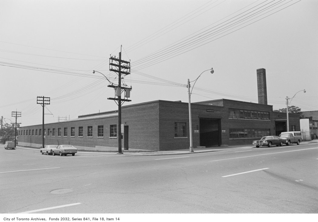
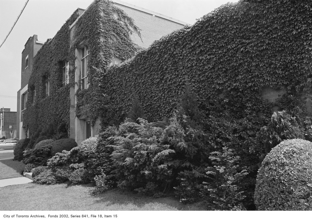
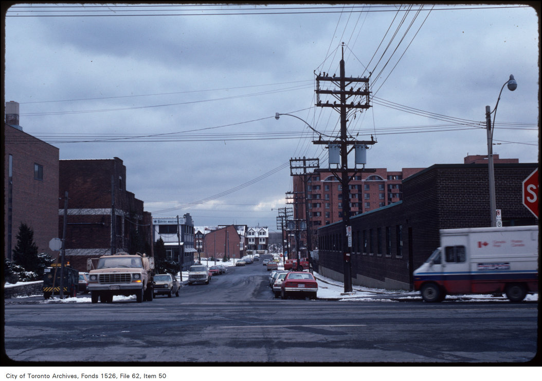
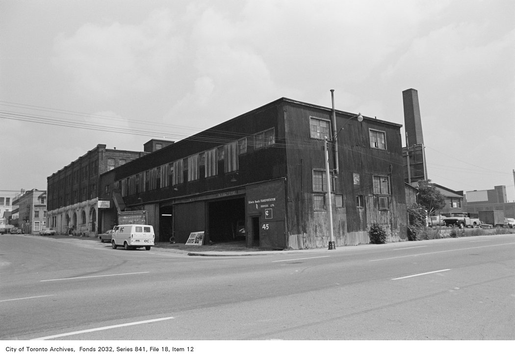

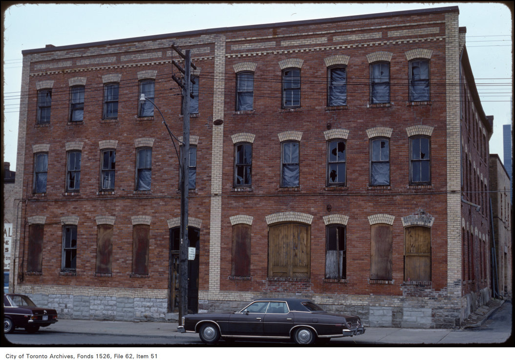
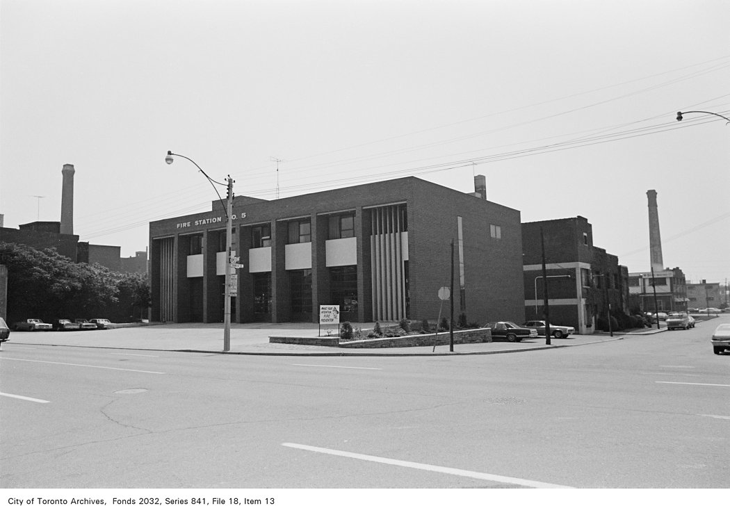
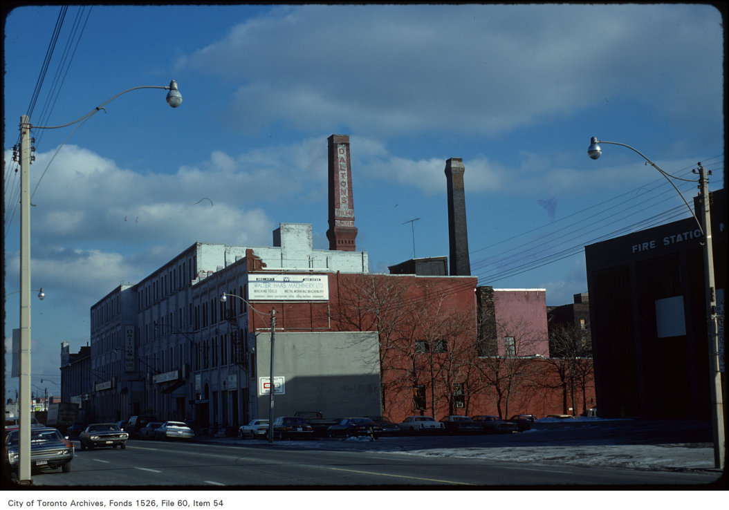
Photo locations are matched from each photo’s title against City street and address data, so some may be off. Report a wrong location