666 Brock Ave
666 Brock Ave is in Junction-Wallace Emerson. It's outside TRCA flood hazard areas and there is 1 planning application nearby (waiting for a hearing date).
Data as of Nov 8, 2026 · Every item lists its source
- Outside TRCA flood hazard areas.
- 1 planning application within 250 m: waiting for a hearing date.
04The building
0 building permits in the last 5 years. Permits show work the City approved; they don't show work done without a permit.
It isn't listed or designated on the City's Heritage Register.
Permit history: 1 project from 3 permits
- Interior Alterations · completed Jun 16, 2022
Proposal for interior alterations to all floors and the basement of the existing apartment building to reduce the number of dwelling units from 6 to 5 units. · 3 permits in this project (such as building, plumbing and heating) · Permit 18 181352
05Risks and environment
TRCA's maps show this address is outside the areas that could flood from rivers in a major storm (TRCA plans for a storm like Hurricane Hazel in 1954) and outside lake shoreline hazards. Basement flooding from overloaded sewers can still happen anywhere in the city.
In postal area M6H, 13 of 538 home tap-water samples (2.4%) tested above Ontario's limit for lead (10 micrograms per litre). Across Toronto, 2.0% of samples did, so M6H is about the same as the city overall. Health Canada recommends a stricter limit of 5 micrograms per litre: 25 samples here (4.6%) were above it. These are voluntary tests, mostly from older homes, so they don't tell you about this house. Lead comes from old pipes and plumbing, not the City's treatment plants. If your home was built before the mid-1950s, you can get a free test kit by calling 311.
Air Quality Health Index from Environment and Climate Change Canada's Toronto Downtown station, 3.8 km away, measured 11:00 AM EST Sunday 8 November 2026. Forecast high for the next 24 hours: 2 (low risk). The scale runs from 1 to 10+; 1 to 3 is low risk.
TRCA mapping is for screening, not site-specific decisions. Lead results are voluntary samples from homes in the postal area, not this address.
01What’s changing nearby
1 active planning application within 250 m (about a 3-minute walk): waiting for a hearing date. That's about typical for Toronto (the typical address has 1).
- 1434 Margueretta St · 134 m awayCommittee of Adjustment · Minor variance: permission to bend a zoning rule, such as height, size or setbacks
The hearing was postponed. A new date hasn't been published yet.
File A0714/26TEY · submitted Oct 9, 2026
17 homes within 250 m are registered with the City as short-term rentals (stays of less than 28 days, like Airbnb). That's more than at almost all Toronto addresses.
No licensed rooming houses within 250 m.
No new storefront business licences within 250 m in the last 90 days.
Development Applications; Committee of Adjustment Applications; Short Term Rentals Registration.
06Safety
Police recorded 108 major crimes within 500 m from Oct 2025 to Sep 2026: 81 assaults, 16 break-ins, 7 car thefts, 3 thefts over $5,000 and 1 robbery. Per resident, in Junction-Wallace Emerson in 2025, car thefts, robberies and thefts over $5,000 were below it. Police place each incident at the nearest intersection, so these figures describe the area, not this address.
| Major crime | Within 500 m, 12 months | Junction-Wallace Emerson, per 100,000 (2025) | Toronto |
|---|---|---|---|
| Assaults | 81 | 720 close to Toronto | 768 |
| Break-ins | 16 | 230 close to Toronto | 190 |
| Car thefts | 7 | 108 below Toronto | 225 |
| Robberies | 1 | 36 below Toronto | 79 |
| Thefts over $5,000 | 3 | 32 below Toronto | 61 |
Toronto Police Service Public Safety Data Portal: Major Crime Indicators (Oct 1, 2025 to Sep 30, 2026) and Neighbourhood Crime Rates. Includes reported incidents only.
03Getting around
The nearest subway station is Lansdowne Station (Line 2), about a 5-minute walk (0.3 km). Within a 5-minute walk there are 9 TTC stops served by routes 47, 29 and 929, with about 2,482 departures on a typical weekday. The nearest GO train station is Bloor GO, 1.0 km away, with 68 train stops on a weekday.
TTC and GO Transit schedules for a typical weekday (Nov 11, 2026). Walking times are estimates.
07Schools and community
These are the closest public and Catholic schools by distance. They may not be the schools assigned to this address: school boards set their own attendance areas, so check with the Toronto District School Board or Toronto Catholic District School Board.
- Pauline Junior Public School · elementary · 186 mTDSB · Public · grades JK-6 · 210 students. Grade 6 provincial tests: 96% met the standard in reading and 65% in math (Toronto schools: 87% and 54%).
- St Sebastian Catholic School · elementary · 211 mTCDSB · Catholic · grades JK-8 · 250 students. Grade 6 provincial tests: 100% met the standard in reading and 69% in math (Toronto schools: 87% and 54%).
- St Anthony Catholic School · elementary · 476 mTCDSB · Catholic · grades JK-8 · 205 students. Grade 6 provincial tests: 79% met the standard in reading and 54% in math (Toronto schools: 87% and 54%).
- Bloor Collegiate Institute · secondary · 297 mTDSB · Public · grades 9-12 · 820 students. 95% passed the Grade 10 literacy test on the first try (Toronto schools: 84%).
- Caring and Safe School 4 · secondary · 334 mTDSB · Public · grades 9-12
Ontario Ministry of Education, School Information and Student Demographics (2026); test results are EQAO results reported by the Ministry.
Within 500 m (about a 6-minute walk): two licensed child care centres, two EarlyON centres, no privately owned public spaces and no shelters or respite sites.
City of Toronto: Licensed Child Care Centres, EarlyON Child and Family Centres, POPS, and Daily Shelter Occupancy (Nov 6, 2026). Confidential shelter locations are not published.
08Your neighbourhood
Junction-Wallace Emerson had 23,180 residents in 2021. The median household income was $84,000, about the same as the typical Toronto neighbourhood ($85,000). 50% of households rent (typical neighbourhood: 46%). 41% of renters spend 30% or more of their income on housing. 33% of workers commuted by transit and 14% walked or cycled (typical neighbourhood: 26% and 5%). The most common first languages other than English and French are Portuguese (13.7%), Spanish (3.9%) and Cantonese (2.8%). Source: 2021 Census; the next census was taken in 2026.
In October 2025, the average rent for a two-bedroom in a purpose-built rental building in the former City of Toronto was $2,457, up 6% from a year earlier. Across Toronto: $2,055. 3.2% of these apartments were vacant. These are averages paid by all tenants, including long-term ones, across a large area; new listings usually cost more.
| Average rent, October 2025 | Former City of Toronto | Change in a year | City of Toronto |
|---|---|---|---|
| Studio | $1,526 | +2% | $1,499 |
| 1 bedroom | $1,914 | +4% | $1,763 |
| 2 bedrooms | $2,457 | +6% | $2,055 |
| 3 bedrooms or more | $3,195 | 0% | $2,361 |
Source: CMHC, Rental Market Survey (October 2025), purpose-built rental apartments. Adapted by My Address in Toronto.
02City services
Next: November 13: recycling and green bin. November 20: garbage, green bin and yard waste. Green bin goes out every week; garbage and recycling alternate.
09Quick answers about 666 Brock Ave
Is 666 Brock Ave in a flood plain?
No. TRCA maps it outside river flood and lake shoreline hazard areas. Basement flooding from sewers can still happen anywhere. Source: TRCA Regulation mapping 2025.
What is being built near 666 Brock Ave?
There is 1 active planning application within 250 metres (waiting for a hearing date). The closest is at 434 Margueretta St, 134 m away. Source: Development Applications; Committee of Adjustment Applications.
Has 666 Brock Ave been renovated?
Yes. The City has 3 building permits on record, 0 in the last 5 years. Source: Building Permits.
Is 666 Brock Ave a heritage property?
No. It isn't listed or designated on the City's Heritage Register. Source: Heritage Register.
How far is 666 Brock Ave from the subway?
The nearest station is Lansdowne Station (Line 2), 0.3 km away (about a 5-minute walk). 9 TTC stops are within a 5-minute walk. Source: TTC and GO Transit schedules.
What schools are near 666 Brock Ave?
The closest are Pauline Junior Public School, St Sebastian Catholic School and Bloor Collegiate Institute. These may not be the assigned schools; check with the school board. Source: Ontario Ministry of Education school information.
How much crime is there near 666 Brock Ave?
Police recorded 108 major crimes within 500 m from Oct 2025 to Sep 2026: 81 assaults, 16 break-ins, 7 car thefts, 3 thefts over $5,000 and 1 robbery. Per resident, in Junction-Wallace Emerson in 2025, car thefts, robberies and thefts over $5,000 were below it. Police place each incident at the nearest intersection, so these figures describe the area, not this address. Source: Toronto Police Service.
When is garbage day at 666 Brock Ave?
Collection is on Fridays. Green bin goes out every week; garbage and recycling alternate weeks. The next garbage pickup is Nov 20, 2026. Source: Solid Waste Collection Schedule.
Answers are generated from the data on this page and update when the data changes.
10From the archives
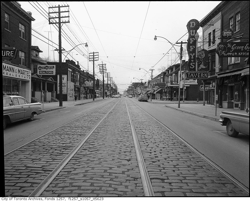
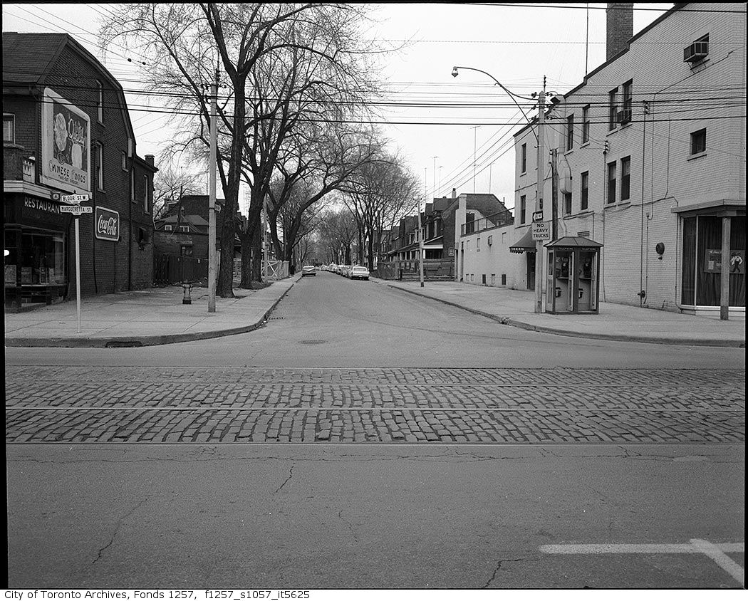
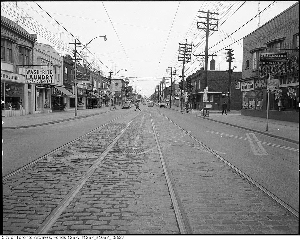
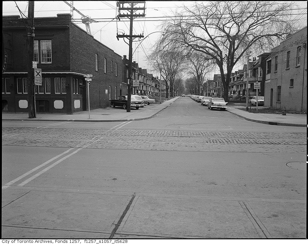
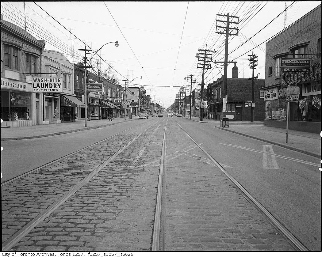
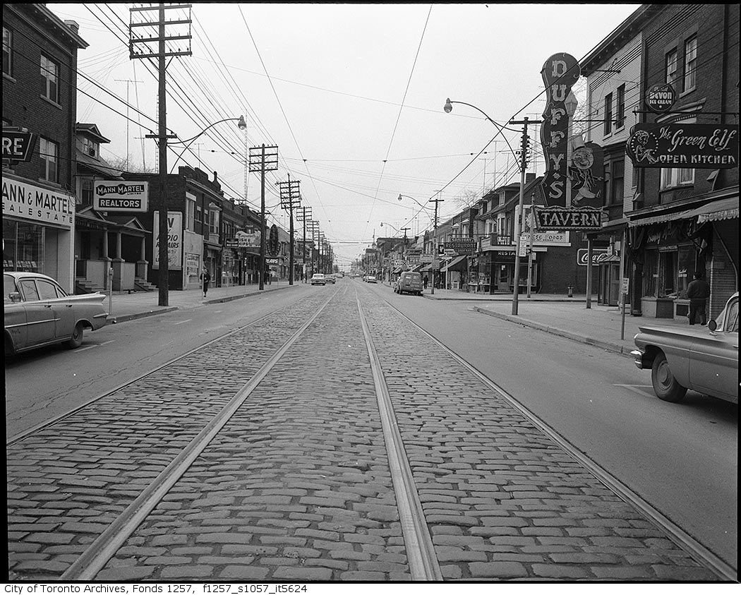
Photo locations are matched from each photo’s title against City street and address data, so some may be off. Report a wrong location