666 Manning Ave
An address in Annex, outside TRCA flood and shoreline hazard areas, with no active development applications within 250 metres.
Data as of Nov 8, 2026 · Every item lists its source
- Outside TRCA flood and shoreline hazard areas.
- 0 active development applications and 5 Committee of Adjustment applications within 250 m.
01The building
Recent permits (1)
- Backflow Prevention Devices (Water only) · Closed · Sep 27, 2017
Proposal to install a back flow preventer. · Permit 17 225852 PSA
02Risks and the ground
TRCA mapping is for screening, not site-specific decisions. Lead results are voluntary samples from homes in the postal area, not this address.
03What’s changing nearby
- 1679 Euclid Ave · 162 m · Committee of Adjustment · Minor variance · ApprovedTo alter the existing two-and-one-half storey semi-detached dwelling by constructing a rear one-storey ground floor addition with a second storey terrace above, and a new rear ground floor deck with stairs. The existing rear walkout…File A0621/26TEY · submitted Jun 16, 2026
- 2614 Manning Ave · 209 m · Committee of Adjustment · Minor variance · OMB AppealTo legalize and maintain the existing coach house at the rear of the existing 2½-storey semi-detached dwelling. Also, to convert a portion of the coach house into a two-car garage, with access to the rear lane way.File A0423/14TEY · submitted Apr 28, 2014
- 3439 Clinton St · 225 m · Committee of Adjustment · Minor variance · Hearing ScheduledTo alter the existing three-storey detached dwelling by constructing a front one-storey addition (enclosing the existing covered front porch for use as a mudroom).File A0706/26TEY · submitted Oct 5, 2026
- 4767 Euclid Ave · 245 m · Committee of Adjustment · Minor variance · TLAB AppealTo construct a new three-storey single family detached dwelling on the conveyed lot fronting onto Palmerston Square as described in Committee of Adjustment application B0069/18. The new dwelling will consist of a driveway and integral…File A0688/18TEY · submitted Jul 11, 2018
- 5767 Euclid Ave · 245 m · Committee of Adjustment · Minor variance · TLAB AppealProposal to maintain the existing three-storey four-unit dwelling on the retained lot as described in Committee of Adjustment application B0069/18TEY. Easements will be maintained.File A0689/18TEY · submitted Jul 11, 2018
Development Applications; Committee of Adjustment Applications · 10 registered short-term rentals within 250 m.
04City services
05Quick answers about 666 Manning Ave
Is 666 Manning Ave in a flood plain?
No. It is outside TRCA's mapped flood and shoreline hazard areas. Source: TRCA Regulation mapping 2025.
What is being built near 666 Manning Ave?
0 active development applications within 250 metres. Source: Development Applications.
When is garbage day at 666 Manning Ave?
Collection calendar Thursday 1. Next garbage pickup: Nov 19, 2026. Source: Solid Waste Collection Schedule.
Answers are generated from the data on this page and update when the data changes.
06From the archives
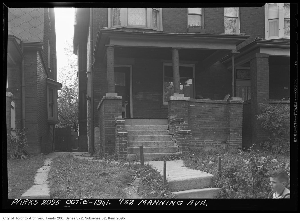
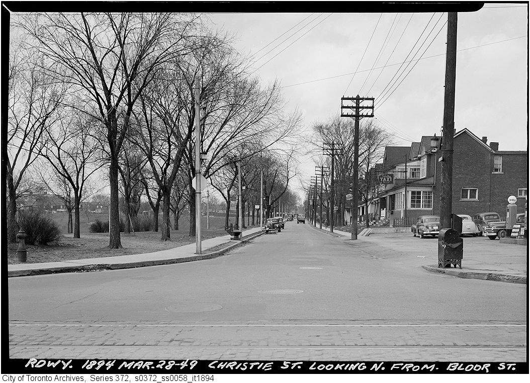
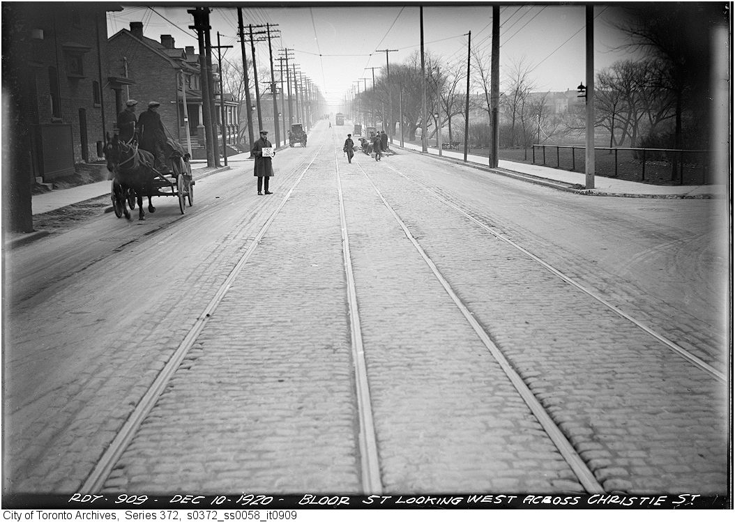
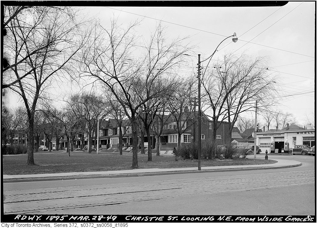
Photo locations are matched from each photo’s title against City street and address data, so some may be off. Report a wrong location