689 Queen St E
An address in South Riverdale, outside TRCA flood and shoreline hazard areas, with 5 active development applications within 250 metres.
Data as of Nov 7, 2026 · Every item lists its source
- Outside TRCA flood and shoreline hazard areas.
- 5 active development applications and 2 Committee of Adjustment applications within 250 m.
01The building
Recent permits (8)
- Sign Building Permit Related · Cancelled · Oct 19, 2026
Projecting sign**HAPPY BURGER** · Permit 26 256799 DST - Sign Building Permit Related · Cancelled · Oct 14, 2026
1 PROJECTING SIGN**HAPPY BURGER** · Permit 26 254356 DST - Sign Building Permit Related · Cancelled · Sep 14, 2026
1 projecting sign**HAPPY BURGER** · Permit 26 237247 DST - Sign Building Permit Related · Closed · Aug 28, 2025
1 WALL SIGN**HAPPY BURGER** · Permit 25 213318 DST - Backflow Prevention Devices (Water only) · Closed · Nov 25, 2019
Installation of backflow prevention device · Permit 19 241356 PSA - Interior Alterations · Revision Issued · Mar 8, 2018
Revision 01: Revision to remove universal washroom at ground floorProposal for interior alterations to second floor and fire separation in utility room in existing multi unit building. · Permit 17 228235 BLD - Sign Building Permit Related · Closed · Mar 7, 2018
In conjunction with a two storey building on the premises, proposal to erect and display one illuminated wall sign displaying static copy, located on the first and second storey of the north… · Permit 17 278305 DST - Building Permit Related(PS) · Inspection · Feb 28, 2018
Plumbing - Proposal for interior alterations to second floor and fire separation in utility room in existing multi unit building. · Permit 17 228235 PLB
02Risks and the ground
TRCA mapping is for screening, not site-specific decisions. Lead results are voluntary samples from homes in the postal area, not this address.
03What’s changing nearby
- 1643 Queen St E · 164 m · Official Plan / Rezoning · Under ReviewProposed to retain the existing heritage buildings and construct a nine storey residential building. The building will contain 85 new residential dwelling units with a GFA of about 7186sqm and retail at grade with a GFA of 807sqm. The…File 22 204260 STE 14 OZ · submitted Sep 15, 2022 · City record
- 226 A Lewis St · 235 m · Official Plan / Rezoning · OMB AppealOfficial Plan and Zoning By-law amendment to facilitate the development of the site for a 12-storey mixed-use building having a non-residential gross floor area of 794 square metres, and a residential gross floor area of 28,638 square…File 21 210146 STE 14 OZ · submitted Sep 9, 2021 · City record
- 326 A Lewis St · 235 m · Subdivision · Under ReviewDraft Plan of Subdivision for 2 blocks.File 21 234394 STE 14 SB · submitted Nov 4, 2021 · City record
- 426 B Lewis St · 237 m · Subdivision · Under ReviewDraft Plan of Subdivision for 2 blocks.File 21 234394 STE 14 SB · submitted Nov 4, 2021 · City record
- 526 B Lewis St · 237 m · Official Plan / Rezoning · OMB AppealOfficial Plan and Zoning By-law amendment to facilitate the development of the site for a 12-storey mixed-use building having a non-residential gross floor area of 794 square metres, and a residential gross floor area of 28,638 square…File 21 210146 STE 14 OZ · submitted Sep 9, 2021 · City record
- 645 Baseball Pl · 95 m · Committee of Adjustment · Minor variance · TLAB AppealTo permit a vehicle dealership use and vehicle service use (Downtown Automatic Group Cadillac) within the existing ground floor commercial unit of the mixed-use building.File A0170/26TEY · submitted Feb 27, 2026
- 724 Lewis St · 240 m · Committee of Adjustment · Minor variance · ClosedTo construct a three storey townhouse with front and rear basement walkouts, front porch, and a rear ground floor deck.File A0065/20TEY · submitted Jan 23, 2020
Development Applications; Committee of Adjustment Applications · 20 registered short-term rentals within 250 m.
04City services
05Quick answers about 689 Queen St E
Is 689 Queen St E in a flood plain?
No. It is outside TRCA's mapped flood and shoreline hazard areas. Source: TRCA Regulation mapping 2025.
What is being built near 689 Queen St E?
5 active development applications within 250 metres, the closest at 643 Queen St E (164 m). Source: Development Applications.
When is garbage day at 689 Queen St E?
Collection calendar Thursday 1. Next garbage pickup: Nov 19, 2026. Source: Solid Waste Collection Schedule.
Answers are generated from the data on this page and update when the data changes.
06From the archives
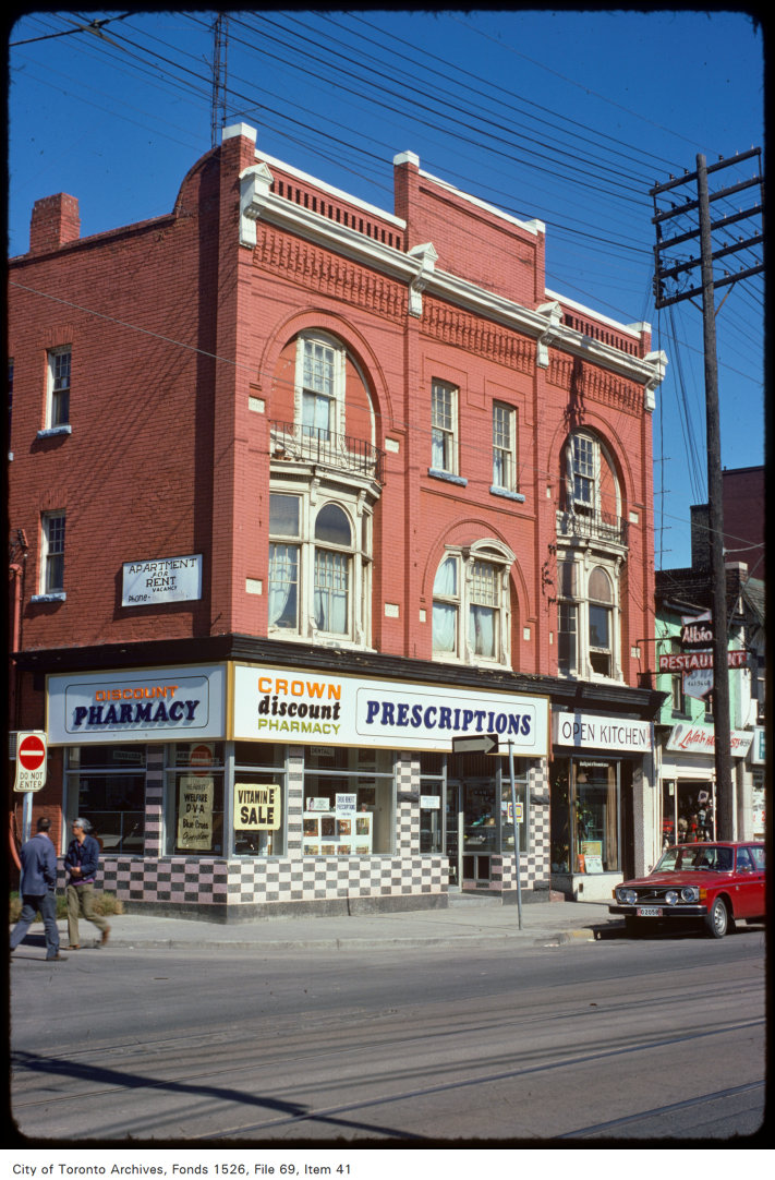
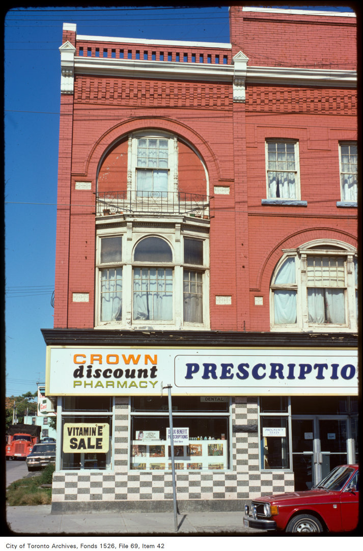
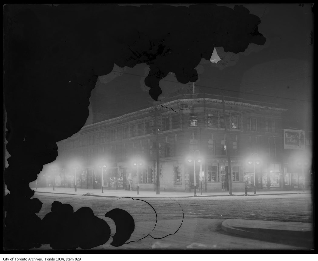
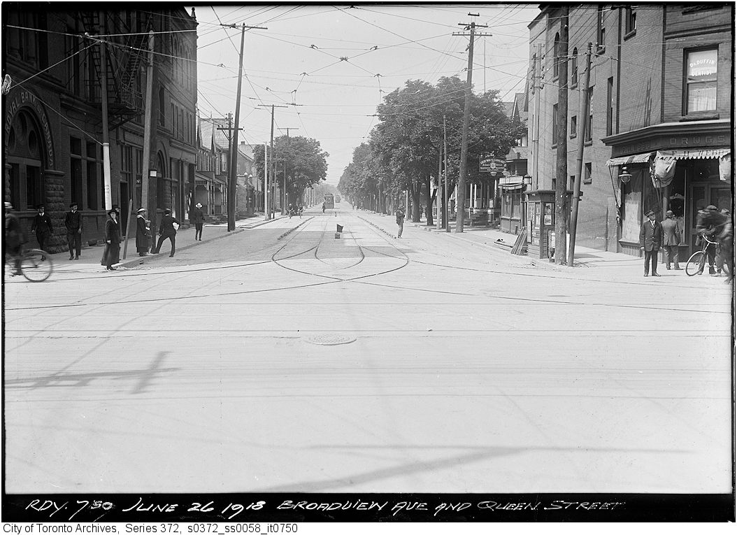

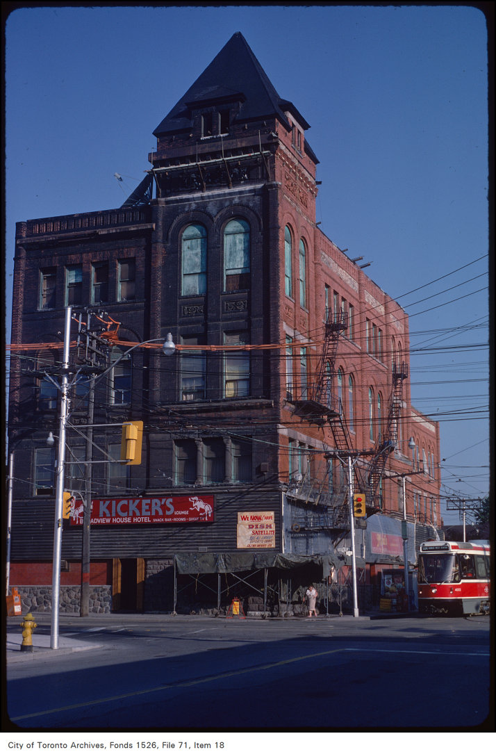

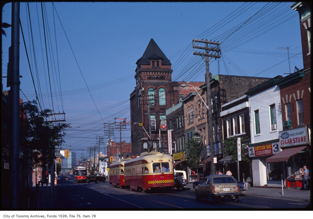
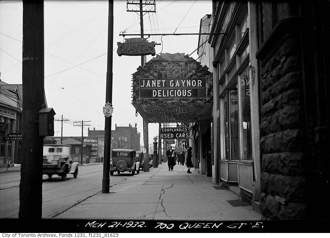
Photo locations are matched from each photo’s title against City street and address data, so some may be off. Report a wrong location