7 Morrison St
A property on the Heritage Register (Part V), outside TRCA flood and shoreline hazard areas, with 15 active development applications within 250 metres.
Data as of Nov 7, 2026 · Every item lists its source
- On the Heritage Register (Part V).
- Outside TRCA flood and shoreline hazard areas.
- 15 active development applications and 3 Committee of Adjustment applications within 250 m.
01The building
Recent permits (2)
- Sign Building Permit Related · Cancelled · May 21, 2015
In conjunction with a parking lot on the premises, proposal to erect and display one illuminated ground sign displaying static copy on the easterly property frontage. The proposed sign is to contain… · Permit 15 144724 DST - Demolition · Closed · Feb 1, 2010
permit to demolish existing 3 storey industrial building · Permit 09 157955 DEM
02Risks and the ground
TRCA mapping is for screening, not site-specific decisions. Lead results are voluntary samples from homes in the postal area, not this address.
03What’s changing nearby
- 1471 Richmond St W · 46 m · Site Plan · Under ReviewProposal for a hotel development containing a two storey podium which connects two tower elements with total heights of 19-storeys each tower along Richmond Street West and Camden Street.File 21 250708 STE 10 SA · submitted Dec 22, 2021 · City record
- 2465 Richmond St W · 55 m · Site Plan · Under ReviewProposal for a hotel development containing a two storey podium which connects two tower elements with total heights of 19-storeys each tower along Richmond Street West and Camden Street.File 21 250708 STE 10 SA · submitted Dec 22, 2021 · City record
- 3457 Richmond St W · 74 m · Site Plan · Under ReviewSite Plan Control application to facilitate the development of a 19-storey mixed use building with a height of 57 metres, 140 residential units and 107 square metres of non-residential GFA. The associated application to amend the zoning…File 23 109140 STE 10 SA · submitted Feb 1, 2023 · City record
- 438 Camden St · 76 m · Site Plan · Under ReviewProposal for a hotel development containing a two storey podium which connects two tower elements with total heights of 19-storeys each tower along Richmond Street West and Camden Street.File 21 250708 STE 10 SA · submitted Dec 22, 2021 · City record
- 5450 Richmond St W · 94 m · Site Plan · Under ReviewSite Plan Approval application for a proposed 19-storey mixed-use building comprised of 117 residential dwelling units, 339 square metres of retail space on the ground floor.File 22 243062 STE 10 SA · submitted Dec 29, 2022 · City record
- 6448 Richmond St W · 99 m · Site Plan · Under ReviewSite Plan Approval application for a proposed 19-storey mixed-use building comprised of 117 residential dwelling units, 339 square metres of retail space on the ground floor.File 22 243062 STE 10 SA · submitted Dec 29, 2022 · City record
- 747 Camden St · 105 m · Site Plan · NOAC IssuedSite plan control resubmission for a 18-storey (57.85m including mechanical penthouse) mixed-use building with retail space on the ground floor and 255 residential units above at 35-47 Camden Street.File 23 186707 STE 10 SA · submitted Aug 10, 2023 · City record
- 8446 Richmond St W · 105 m · Site Plan · Under ReviewSite Plan Approval application for a proposed 19-storey mixed-use building comprised of 117 residential dwelling units, 339 square metres of retail space on the ground floor.File 22 243062 STE 10 SA · submitted Dec 29, 2022 · City record
- 949-51 Camden St · 106 m · Site Plan · OMB AppealProposal for site plan approval related to a 130-room hotel consisting of 14 stories, with a mechanical penthouse included in the 12th and 14th story. The building provides total GFA as 7,796.8File 16 166414 STE 20 SA · submitted Jun 2, 2016 · City record
- 1049 Camden St · 106 m · Site Plan · OMB AppealProposal for site plan approval related to a 130-room hotel consisting of 14 stories, with a mechanical penthouse included in the 12th and 14th story. The building provides total GFA as 7,796.8File 16 166414 STE 20 SA · submitted Jun 2, 2016 · City record
- 11444 Richmond St W · 110 m · Site Plan · Under ReviewSite Plan Approval application for a proposed 19-storey mixed-use building comprised of 117 residential dwelling units, 339 square metres of retail space on the ground floor.File 22 243062 STE 10 SA · submitted Dec 29, 2022 · City record
- 1235 Camden St · 115 m · Site Plan · NOAC IssuedSite plan control resubmission for a 18-storey (57.85m including mechanical penthouse) mixed-use building with retail space on the ground floor and 255 residential units above at 35-47 Camden Street.File 23 186707 STE 10 SA · submitted Aug 10, 2023 · City record
Development Applications; Committee of Adjustment Applications · 23 registered short-term rentals within 250 m.
04City services
05Quick answers about 7 Morrison St
Is 7 Morrison St in a flood plain?
No. It is outside TRCA's mapped flood and shoreline hazard areas. Source: TRCA Regulation mapping 2025.
What is being built near 7 Morrison St?
15 active development applications within 250 metres, the closest at 471 Richmond St W (46 m). Source: Development Applications.
When is garbage day at 7 Morrison St?
Collection calendar Tuesday 2. Next garbage pickup: Nov 10, 2026. Source: Solid Waste Collection Schedule.
Answers are generated from the data on this page and update when the data changes.
06From the archives
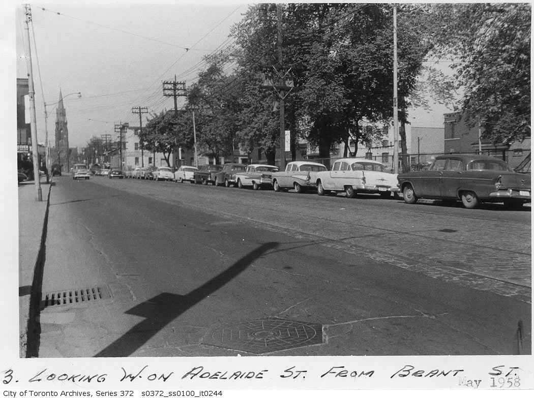
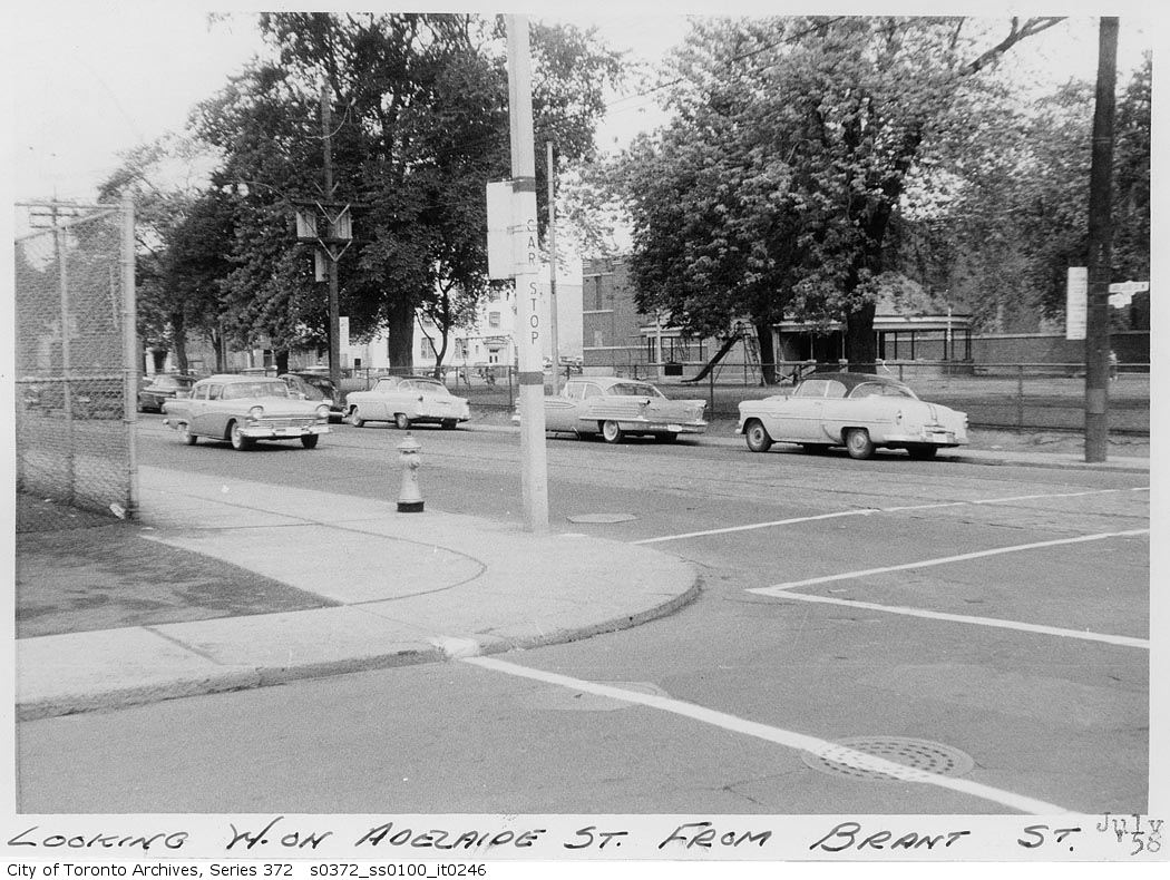
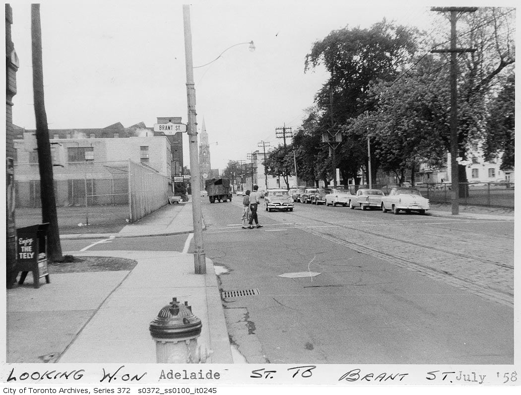
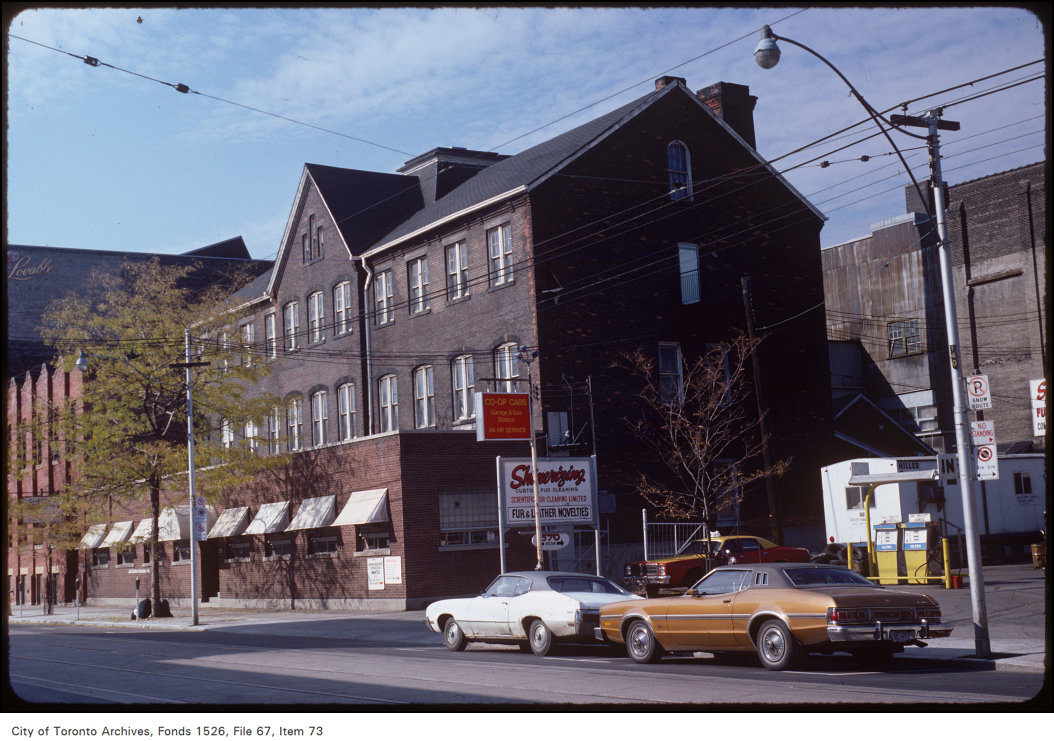
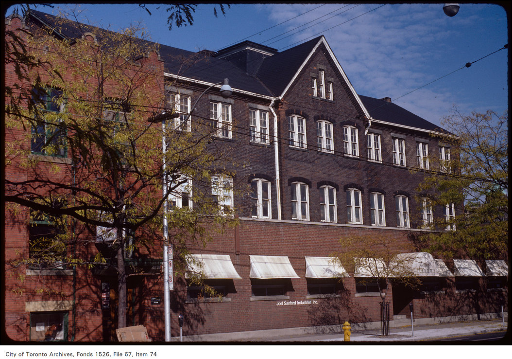
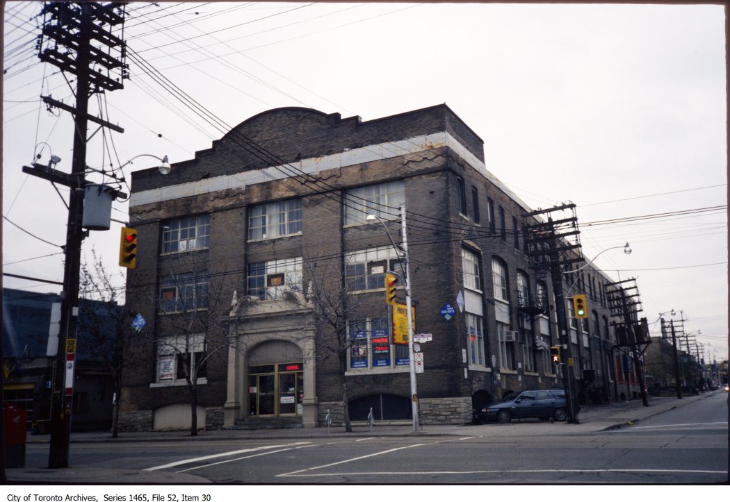
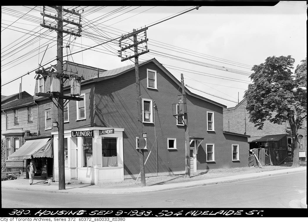
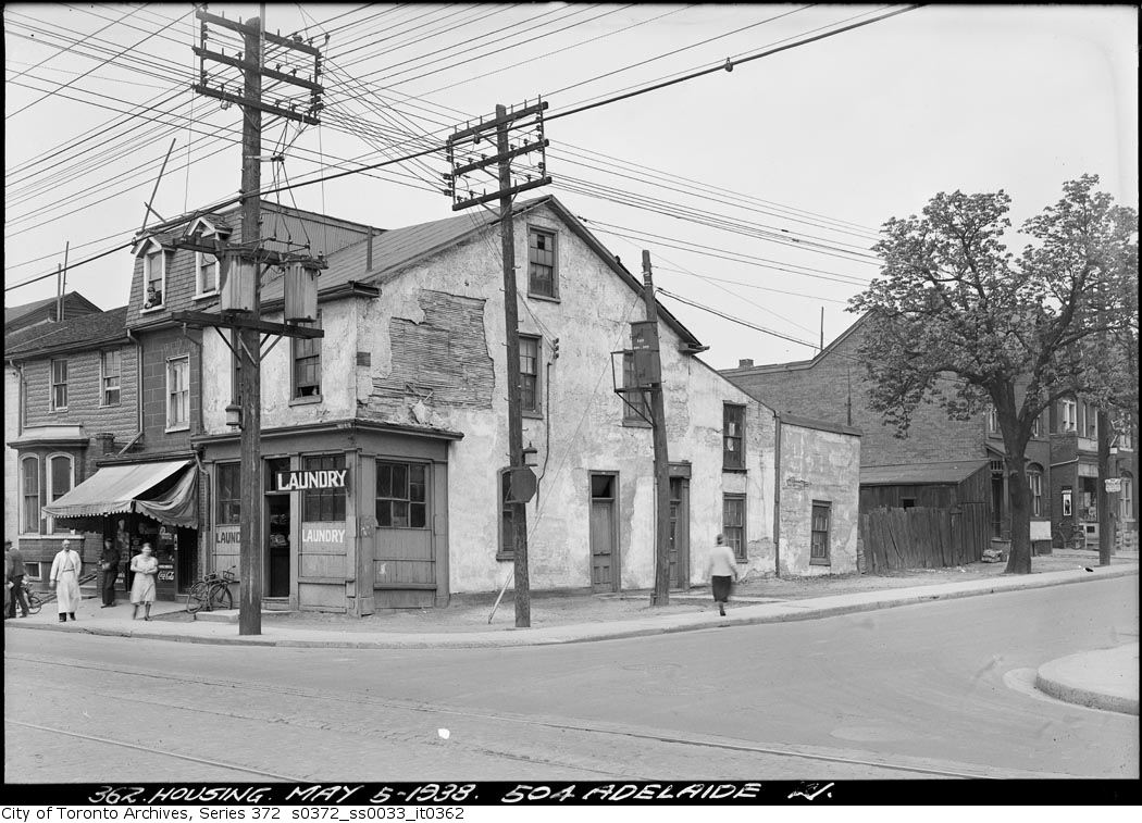

Photo locations are matched from each photo’s title against City street and address data, so some may be off. Report a wrong location