7 Queens Quay E
An address in St Lawrence-East Bayfront-The Islands, outside TRCA flood and shoreline hazard areas, with 15 active development applications within 250 metres.
Data as of Nov 8, 2026 · Every item lists its source
- Outside TRCA flood and shoreline hazard areas.
- 15 active development applications and 0 Committee of Adjustment applications within 250 m.
01The building
Recent permits (3)
- Temporary Structures · Inspection · Jul 16, 2026
Installation of a 20 ft x8 ft prefabricated coffee container, to be temporary placed on existing asphalt surface, for take out beverage service, including electrical connection, plumbing fixtures,… · Permit 26 193415 TPS - Other(BA) · Cancelled · Jul 9, 2021
Proposal to install accessible ramp · Permit 21 182322 BLD - Other(BA) · Cancelled · Jul 3, 2019
Proposal to construct new barrier free ramp in the parking area · Permit 19 182250 BLD
02Risks and the ground
TRCA mapping is for screening, not site-specific decisions. Lead results are voluntary samples from homes in the postal area, not this address.
03What’s changing nearby
- 143 Freeland St · 34 m · Site Plan · Under ReviewSite Plan Approval application to facilitate the development of Block 4 of the former LCBO lands, part of the comprehensively planned Lower Yonge Precinct. Blocks 1 and 2 of the LCBO lands are already under development, and Block 3 has…File 19 218252 STE 10 SA · submitted Sep 9, 2019 · City record
- 233 Freeland St · 35 m · Site Plan · Under ReviewSite Plan Approval application to facilitate the development of Block 4 of the former LCBO lands, part of the comprehensively planned Lower Yonge Precinct. Blocks 1 and 2 of the LCBO lands are already under development, and Block 3 has…File 19 218252 STE 10 SA · submitted Sep 9, 2019 · City record
- 353 Freeland St · 69 m · Site Plan · Under ReviewSite Plan Approval application to facilitate the development of Block 4 of the former LCBO lands, part of the comprehensively planned Lower Yonge Precinct. Blocks 1 and 2 of the LCBO lands are already under development, and Block 3 has…File 19 218252 STE 10 SA · submitted Sep 9, 2019 · City record
- 415 Freeland St · 74 m · Site Plan · Under ReviewSite Plan Approval application to facilitate the development of Block 4 of the former LCBO lands, part of the comprehensively planned Lower Yonge Precinct. Blocks 1 and 2 of the LCBO lands are already under development, and Block 3 has…File 19 218252 STE 10 SA · submitted Sep 9, 2019 · City record
- 57 Yonge St · 74 m · Condominium · Draft Plan ApprovedDraft Plan of Phased Condominium for 958 residential dwelling units.File 25 125180 STE 10 CD · submitted Mar 5, 2025 · City record
- 67 Yonge St · 74 m · Site Plan · Under ReviewSite Plan Approval for Phase 4 & 5 of the One Yonge Development, consisting of two non-residential towers having heights of 22 and 40-storeys, respectively.File 21 245354 STE 10 SA · submitted Dec 6, 2021 · City record
- 77 Yonge St · 74 m · Subdivision · Amend Drft Plan AppDraft Plan of Subdivision to create two lots separated by a public road (extension of Harbour Street).File 16 126393 STE 28 SB · submitted Mar 11, 2016 · City record
- 855 Lake Shore Blvd E · 108 m · Subdivision · Draft Plan ApprovedSubdivision Approval application to permit a mixed-use development, including a new office/retail building, 6 mixed-use buildings, a daycare and a TDSB elementary school integrated into the podium of the north-west block, and a public…File 16 152754 STE 28 SB · submitted May 9, 2016 · City record
- 955 Lake Shore Blvd E · 108 m · Site Plan · Under ReviewSite Plan Approval application to facilitate the development of Block 4 of the former LCBO lands, part of the comprehensively planned Lower Yonge Precinct. Blocks 1 and 2 of the LCBO lands are already under development, and Block 3 has…File 19 218252 STE 10 SA · submitted Sep 9, 2019 · City record
- 101 Yonge St · 120 m · Site Plan · Under ReviewSite Plan Approval for Phase 4 & 5 of the One Yonge Development, consisting of two non-residential towers having heights of 22 and 40-storeys, respectively.File 21 245354 STE 10 SA · submitted Dec 6, 2021 · City record
- 111 Yonge St · 120 m · Official Plan / Rezoning · OMB AppealThe proposed applications seek to amend By-law No. 248- 2020 (LPAT) (which introduced the 1-7 Yonge Site and Area Specific Policy) and to amend site-specific Zoning By-law 249-2020 (LPAT) to permit 10 and 12 storey increases to the…File 22 221636 STE 10 OZ · submitted Oct 25, 2022 · City record
- 121 Yonge St · 120 m · Official Plan / Rezoning · Under ReviewProposed Official Plan Amendment and Zoning By-law Amendment applications contemplate the redevelopment of the Subject Site with two towers having heights of 80 storeys and 85 storeys (respectively 279.6 metres and 296 metres, inclusive…File 25 239794 STE 10 OZ · submitted Oct 15, 2025 · City record
Development Applications; Committee of Adjustment Applications · 4 registered short-term rentals within 250 m.
04City services
05Quick answers about 7 Queens Quay E
Is 7 Queens Quay E in a flood plain?
No. It is outside TRCA's mapped flood and shoreline hazard areas. Source: TRCA Regulation mapping 2025.
What is being built near 7 Queens Quay E?
15 active development applications within 250 metres, the closest at 43 Freeland St (34 m). Source: Development Applications.
Answers are generated from the data on this page and update when the data changes.
06From the archives
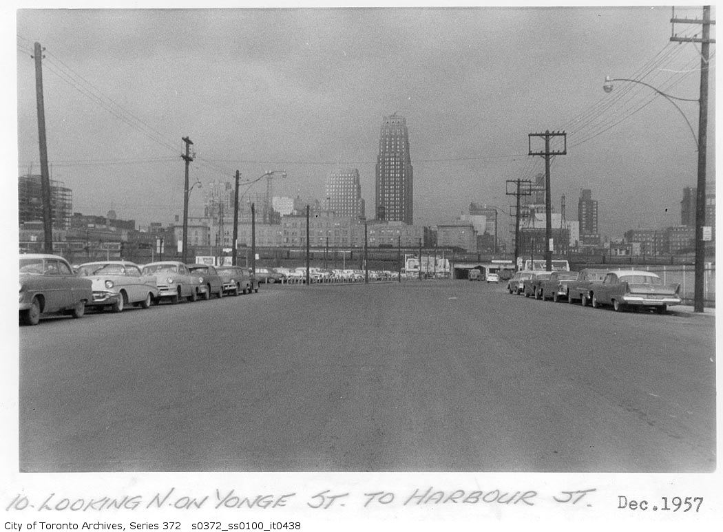
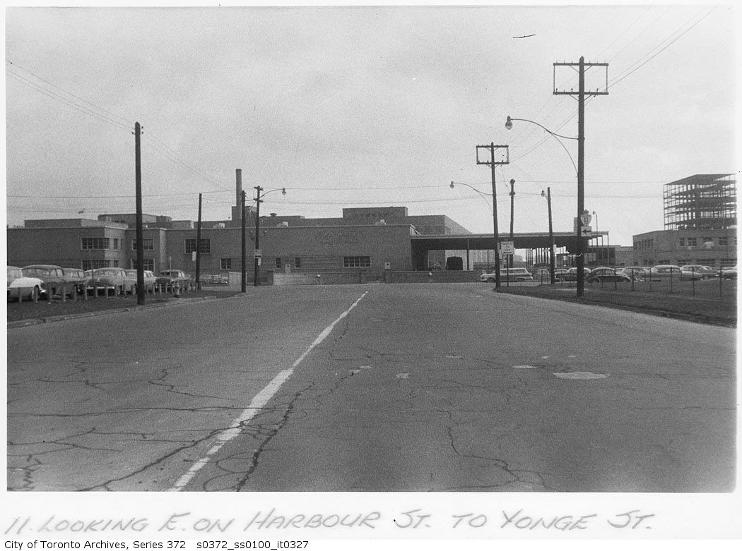
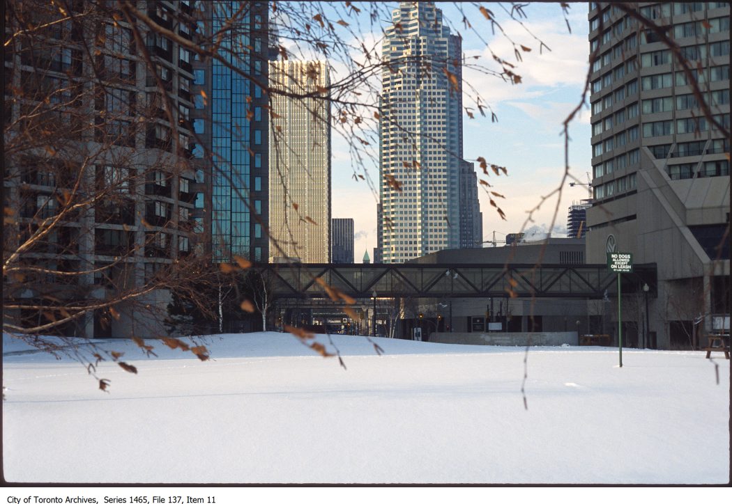
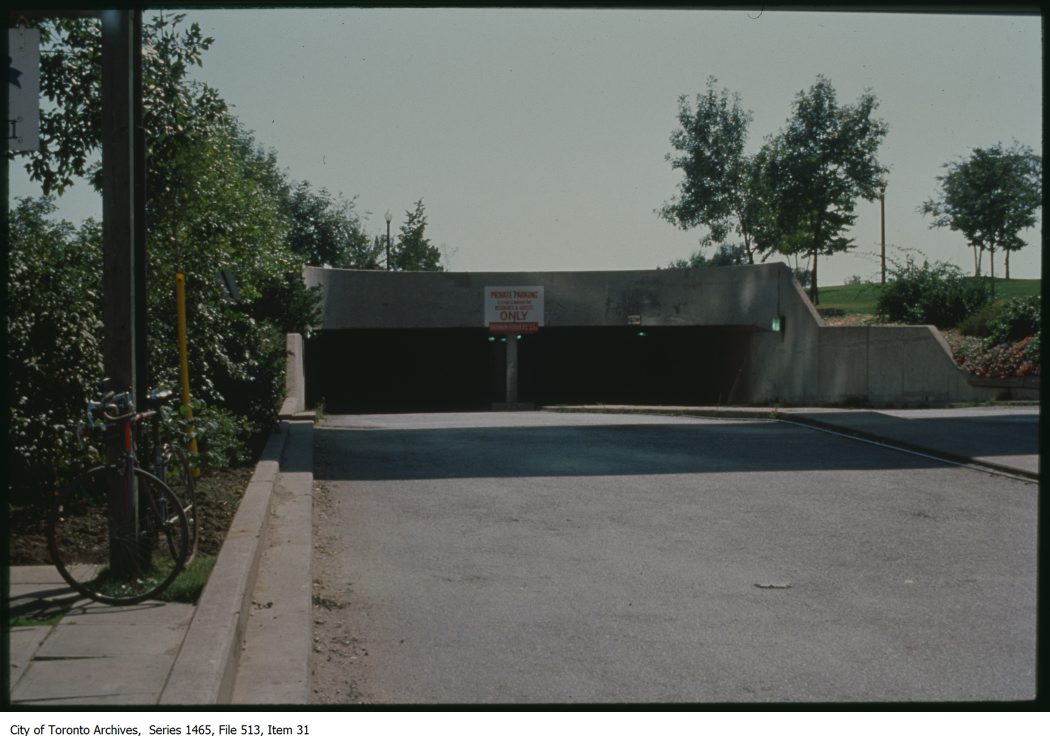
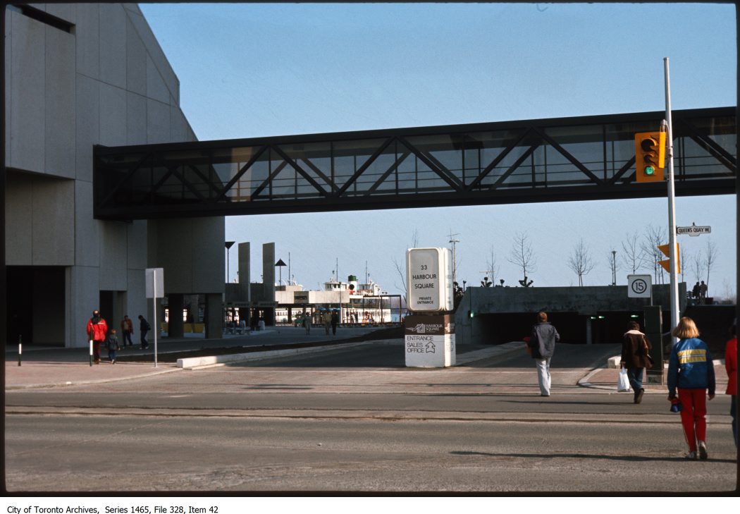
Photo locations are matched from each photo’s title against City street and address data, so some may be off. Report a wrong location