73 Redpath Ave
An address in South Eglinton-Davisville, outside TRCA flood and shoreline hazard areas, with 15 active development applications within 250 metres.
Data as of Nov 7, 2026 · Every item lists its source
- Outside TRCA flood and shoreline hazard areas.
- 15 active development applications and 1 Committee of Adjustment application within 250 m.
01The building
Recent permits (1)
- Demolition · Closed · Sep 16, 2019
Proposal to demolish existing dwelling and construct a new 21 storey apartment building with 180 dwelling units and 4 levels of underground parking. · Permit 18 271032 DEM
02Risks and the ground
TRCA mapping is for screening, not site-specific decisions. Lead results are voluntary samples from homes in the postal area, not this address.
03What’s changing nearby
- 1191 Eglinton Ave E · 24 m · Site Plan · Under ReviewSite Plan approval application for a 40-storey tower with an 8-storey podium and three-levels of underground parking. The proposal incorporates residential, retail, and office uses, and will replace the existing commercial/retail spaces.…File 25 125834 STE 12 SA · submitted Mar 6, 2025 · City record
- 2191 Eglinton Ave E · 24 m · Official Plan / Rezoning · Appeal ReceivedRezoning for proposed 40-storey tower with an 8-storey podium and three-levels of underground parking. The proposal incorporates residential, retail, and office uses, and will replace the existing commercial/retail spaces. The building…File 22 176960 STE 12 OZ · submitted Jul 14, 2022 · City record
- 3181 Eglinton Ave E · 41 m · Site Plan · Under ReviewSite Plan approval application for a 40-storey tower with an 8-storey podium and three-levels of underground parking. The proposal incorporates residential, retail, and office uses, and will replace the existing commercial/retail spaces.…File 25 125834 STE 12 SA · submitted Mar 6, 2025 · City record
- 4181 Eglinton Ave E · 41 m · Site Plan · Under ReviewSite Plan Application for proposed 21-storey buidling and three-levels of underground parking, excluding mechanical penthouse. The proposal includes 11,242.7 square metres of residential and 237.4 square metres of retail use. The building…File 22 176958 STE 12 SA · submitted Jul 14, 2022 · City record
- 5181 Eglinton Ave E · 41 m · Official Plan / Rezoning · Appeal ReceivedRezoning for proposed 40-storey tower with an 8-storey podium and three-levels of underground parking. The proposal incorporates residential, retail, and office uses, and will replace the existing commercial/retail spaces. The building…File 22 176960 STE 12 OZ · submitted Jul 14, 2022 · City record
- 675 Brownlow Ave · 95 m · Site Plan · NOAC IssuedSite Plan application to permit a residential building with two towers, 59 and 55 storeys , comprising 1,374 residential units, daycare facility and a gross floor area of 97,194 square metres. The proposal involves rental replacement.File 21 203871 STE 12 SA · submitted Aug 25, 2021 · City record
- 775 Brownlow Ave · 95 m · Condominium · Under Review*** Draft Plan of Standard Condominium to permit 384 residential units in a 35-storey residential building with a 2-level underground parking garage containing 69 vehicular parking spaces.File 21 211001 STE 12 CD · submitted Sep 10, 2021 · City record
- 875 Brownlow Ave · 95 m · Official Plan / Rezoning · Council ApprovedZoning By-law Amendment application to permit residential building with two towers, 59 and 55 storeys , comprising 1,374 residential units, daycare facility and a gross floor area of 97,194 square metres. A 575.3-square-metre public park…File 21 203868 STE 12 OZ · submitted Aug 25, 2021 · City record
- 973 Brownlow Ave · 98 m · Condominium · Under Review*** Draft Plan of Standard Condominium to permit 384 residential units in a 35-storey residential building with a 2-level underground parking garage containing 69 vehicular parking spaces.File 21 211001 STE 12 CD · submitted Sep 10, 2021 · City record
- 1073 Brownlow Ave · 98 m · Official Plan / Rezoning · Council ApprovedZoning By-law Amendment application to permit residential building with two towers, 59 and 55 storeys , comprising 1,374 residential units, daycare facility and a gross floor area of 97,194 square metres. A 575.3-square-metre public park…File 21 203868 STE 12 OZ · submitted Aug 25, 2021 · City record
- 1173 Brownlow Ave · 98 m · Site Plan · NOAC IssuedSite Plan application to permit a residential building with two towers, 59 and 55 storeys , comprising 1,374 residential units, daycare facility and a gross floor area of 97,194 square metres. The proposal involves rental replacement.File 21 203871 STE 12 SA · submitted Aug 25, 2021 · City record
- 1271 Brownlow Ave · 103 m · Official Plan / Rezoning · Council ApprovedZoning By-law Amendment application to permit residential building with two towers, 59 and 55 storeys , comprising 1,374 residential units, daycare facility and a gross floor area of 97,194 square metres. A 575.3-square-metre public park…File 21 203868 STE 12 OZ · submitted Aug 25, 2021 · City record
Development Applications; Committee of Adjustment Applications · 28 registered short-term rentals within 250 m.
04City services
05Quick answers about 73 Redpath Ave
Is 73 Redpath Ave in a flood plain?
No. It is outside TRCA's mapped flood and shoreline hazard areas. Source: TRCA Regulation mapping 2025.
What is being built near 73 Redpath Ave?
15 active development applications within 250 metres, the closest at 191 Eglinton Ave E (24 m). Source: Development Applications.
When is garbage day at 73 Redpath Ave?
Collection calendar Wednesday 2. Next garbage pickup: Nov 11, 2026. Source: Solid Waste Collection Schedule.
Answers are generated from the data on this page and update when the data changes.
06From the archives
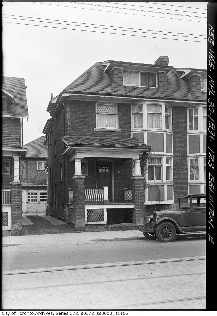
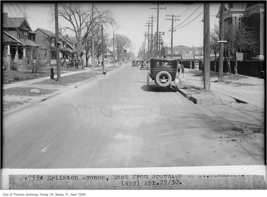
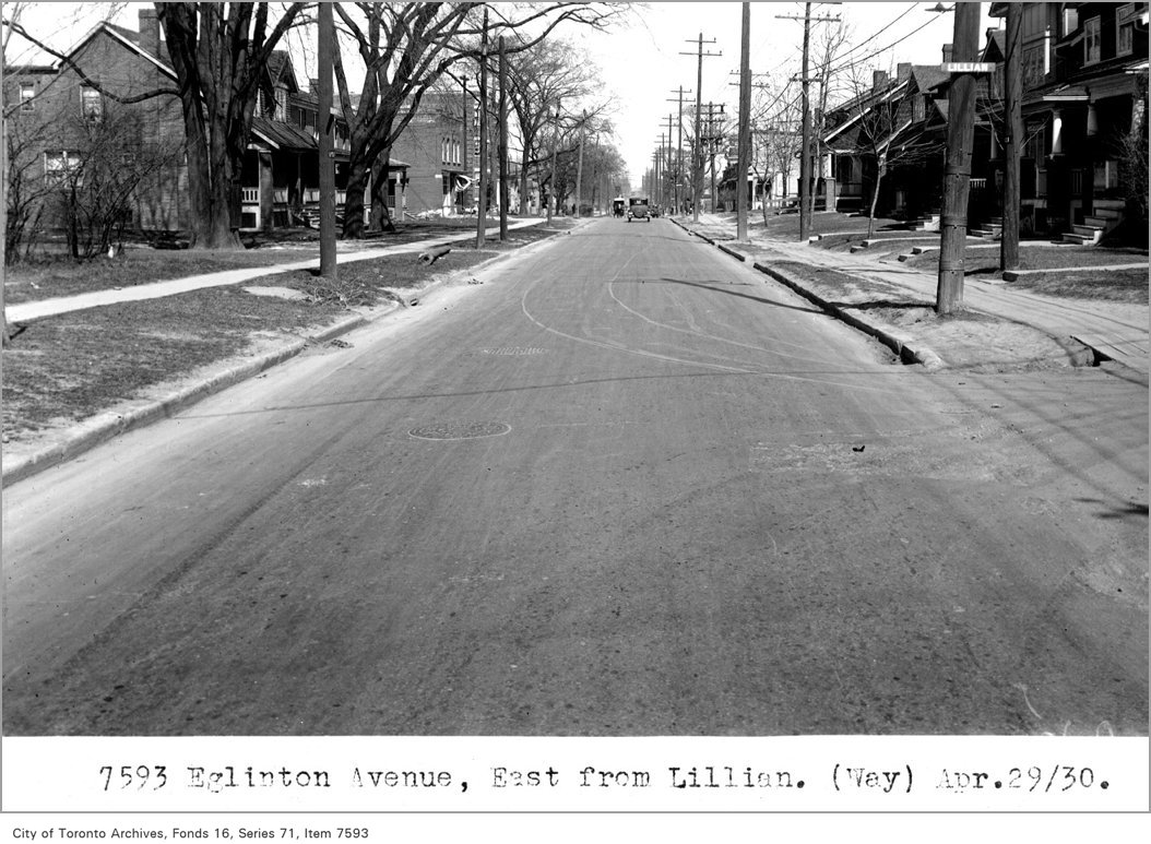
Photo locations are matched from each photo’s title against City street and address data, so some may be off. Report a wrong location