73 Simcoe St
A property on the Heritage Register (Part IV), outside TRCA flood and shoreline hazard areas, with 15 active development applications within 250 metres.
Data as of Nov 7, 2026 · Every item lists its source
- On the Heritage Register (Part IV).
- Outside TRCA flood and shoreline hazard areas.
- 15 active development applications and 1 Committee of Adjustment application within 250 m.
01The building
Recent permits (1)
- Other Temporary Tents · Closed · Sep 12, 2023
Installation of 2, 10'x10' tents and 1, 15'x10' tents placed on Emily Street.Date errected: 2023/09/20Date removed: 2023/09/20 · Permit 23 199734 TPS
02Risks and the ground
TRCA mapping is for screening, not site-specific decisions. Lead results are voluntary samples from homes in the postal area, not this address.
03What’s changing nearby
- 1100 Simcoe St · 130 m · Site Plan · Under ReviewSite Plan Approval application for a 61-storey mixed-use building having a non-residential gross floor area 22,601 square metres, and a residential gross floor area of 44,683 square metres. A total of 526 rental dwelling units are…File 22 119164 STE 10 SA · submitted Mar 3, 2022 · City record
- 2200 University Ave · 144 m · Official Plan / Rezoning · OMB AppealOfficial Plan and Zoning By-law Amendment application to facilitate redevelopment at 200 University Avenue for a 37-storey addition above the existing 16-storey heritage building for an overall height of 53-storeys. The proposal consists…File 22 166819 STE 10 OZ · submitted Jun 23, 2022 · City record
- 3200 University Ave · 144 m · Site Plan · OMB AppealSite Plan application to facilitate redevelopment at 200 University Avenue for a 37-storey addition above the existing 16-storey heritage building for an overall height of 53-storeys. The proposal consists of 52,661 square metres of gross…File 22 200875 STE 10 SA · submitted Sep 8, 2022 · City record
- 4212 King St W · 149 m · Official Plan / Rezoning · OMB AppealProposal for an 80-storey mixed-use building containing 569 rental dwelling units (down from 588 in the initial application). The proposed building will have a non-residential gross floor area of 81,535 square metres (up from 75,002…File 20 227738 STE 10 OZ · submitted Dec 10, 2020 · City record
- 5212 King St W · 149 m · Site Plan · Under ReviewSite Plan approval for an 80-storey mixed-use building having a non-residential gorss floor area of 75,002.35 square metres, and a residential gross floor area of 41,861.86 square metres. A total of 588 purpose built rental units are…File 21 166710 STE 10 SA · submitted Jun 7, 2021 · City record
- 6212 King St W · 149 m · Subdivision · Under ReviewDraft Plan of subdivison for 5 blocks.File 21 234759 STE 10 SB · submitted Nov 5, 2021 · City record
- 7211 Adelaide St W · 150 m · Site Plan · Under ReviewSite Plan Approval application for a 61-storey mixed-use building having a non-residential gross floor area 22,601 square metres, and a residential gross floor area of 44,683 square metres. A total of 526 rental dwelling units are…File 22 119164 STE 10 SA · submitted Mar 3, 2022 · City record
- 8217 Adelaide St W · 174 m · Site Plan · Under ReviewProposal for a 23-storey non-residential building having a gross floor area of 18,641 square metres.File 21 111990 STE 10 SA · submitted Feb 3, 2021 · City record
- 9217 Adelaide St W · 174 m · Official Plan / Rezoning · OMB ApprovedThis is a substantially amended Zoning Amendment application submitted to address City concerns regardng the previous proposal for a 56-storey residential building. The application has been appealed to the Ontario Municipal Board (OMB).…File 15 177189 STE 20 OZ · submitted Jun 19, 2015 · City record
- 10214 King St W · 181 m · Official Plan / Rezoning · OMB AppealProposal for an 80-storey mixed-use building containing 569 rental dwelling units (down from 588 in the initial application). The proposed building will have a non-residential gross floor area of 81,535 square metres (up from 75,002…File 20 227738 STE 10 OZ · submitted Dec 10, 2020 · City record
- 11214 King St W · 181 m · Subdivision · Under ReviewDraft Plan of subdivison for 5 blocks.File 21 234759 STE 10 SB · submitted Nov 5, 2021 · City record
- 12214 King St W · 181 m · Site Plan · Under ReviewSite Plan approval for an 80-storey mixed-use building having a non-residential gorss floor area of 75,002.35 square metres, and a residential gross floor area of 41,861.86 square metres. A total of 588 purpose built rental units are…File 21 166710 STE 10 SA · submitted Jun 7, 2021 · City record
Development Applications; Committee of Adjustment Applications · 1 registered short-term rentals within 250 m.
04City services
05Quick answers about 73 Simcoe St
Is 73 Simcoe St in a flood plain?
No. It is outside TRCA's mapped flood and shoreline hazard areas. Source: TRCA Regulation mapping 2025.
What is being built near 73 Simcoe St?
15 active development applications within 250 metres, the closest at 100 Simcoe St (130 m). Source: Development Applications.
Answers are generated from the data on this page and update when the data changes.
06From the archives
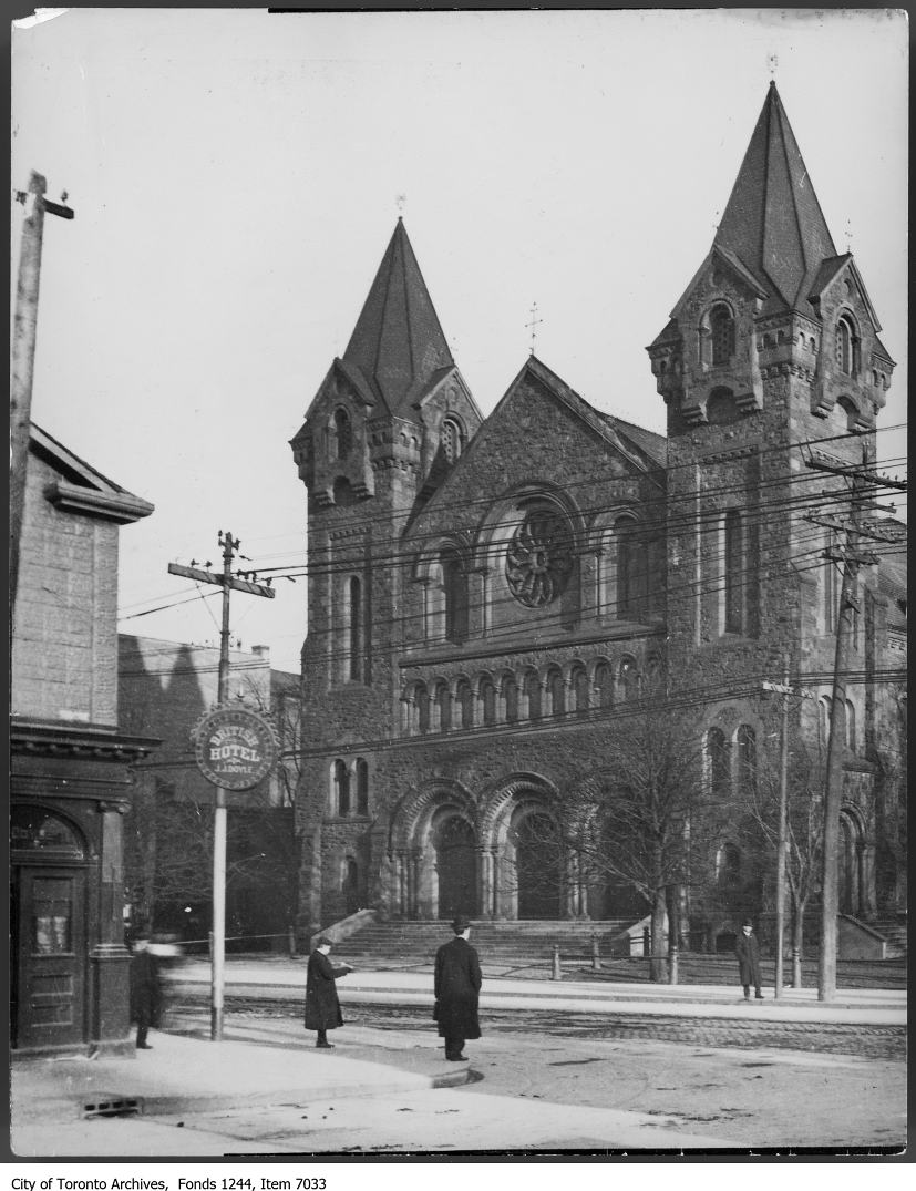
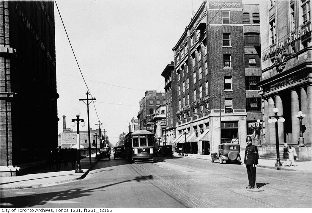
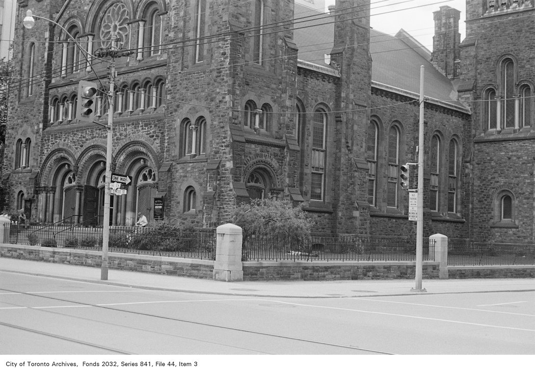

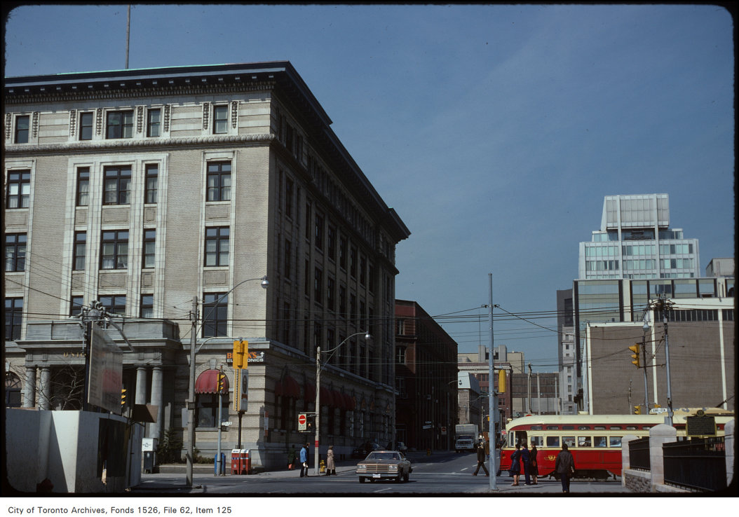
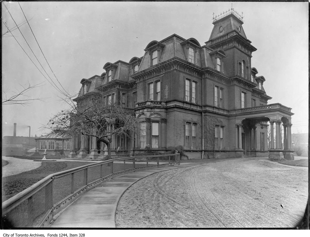
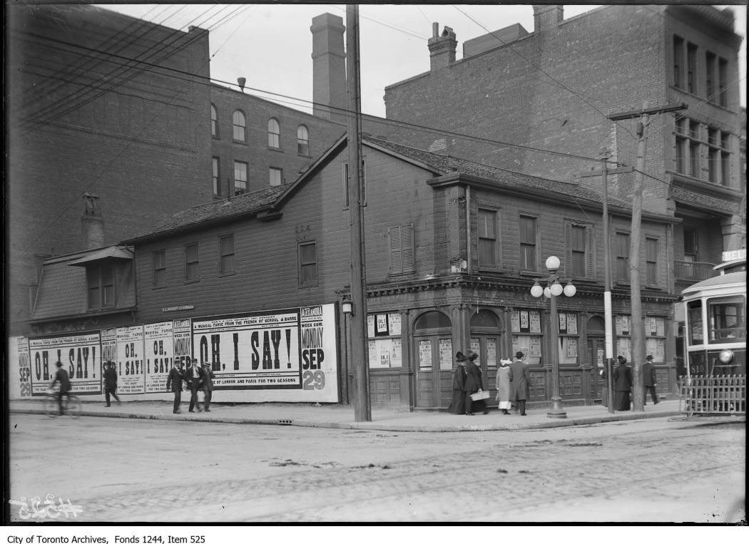
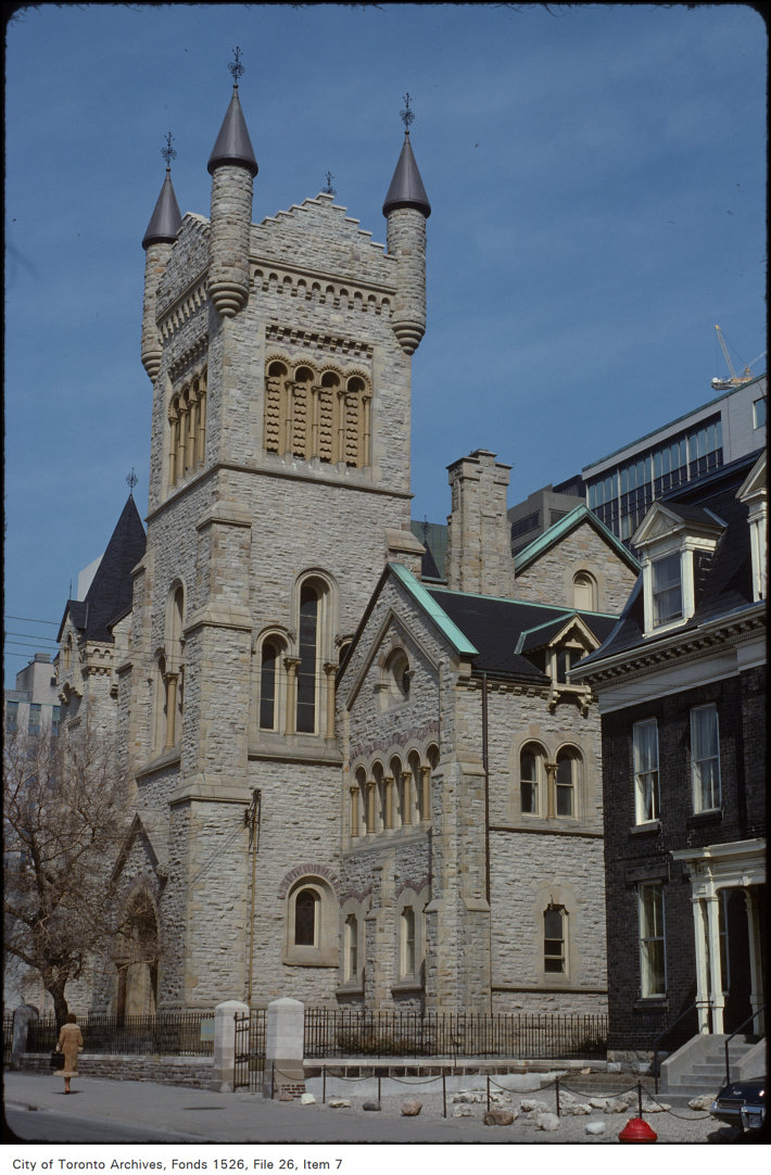
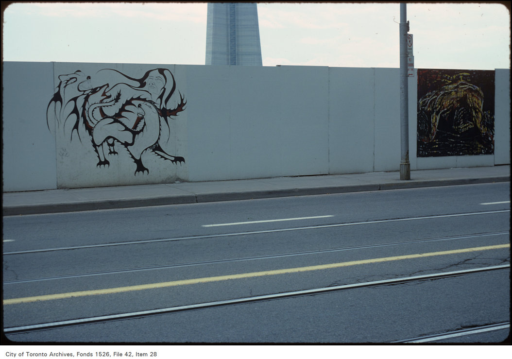
Photo locations are matched from each photo’s title against City street and address data, so some may be off. Report a wrong location