75 Mulock Ave
An address in Junction Area, outside TRCA flood and shoreline hazard areas, with 15 active development applications within 250 metres.
Data as of Nov 8, 2026 · Every item lists its source
- Outside TRCA flood and shoreline hazard areas.
- 15 active development applications and 1 Committee of Adjustment application within 250 m.
01The building
Recent permits (3)
- New Building · Inspection · Aug 25, 2021
Proposal to demolish existing semi-detached house and construct a new 2 storey semi-detached house. · Permit 21 131146 BLD - Building Permit Related(MS) · Inspection · Aug 25, 2021
HVAC - Proposal to demolish existing semi-detached house and construct a new 2 storey semi-detached house. · Permit 21 131146 HVA - Demolition · Closed · Aug 25, 2021
Proposed demolition of 2 storey dwelling and garage · Permit 20 212159 DEM
02Risks and the ground
TRCA mapping is for screening, not site-specific decisions. Lead results are voluntary samples from homes in the postal area, not this address.
03What’s changing nearby
- 16 Lloyd Ave · 66 m · Condominium · Under Review*** Draft Plan of Standard Condominium application for a 4 to 17 storey mixed-use building (residential/commercial) which contains 555 residential units (43,736 m2) and ground floor retail space (1,131 m2) proposed, with three levels of…File 21 220130 WET 05 CD · submitted Sep 30, 2021 · City record
- 26 Lloyd Ave · 66 m · Official Plan / Rezoning · OMB AppealThe Please be advised this application has been appealed to the OLT. The applicant is submitting a new proposal to the OLT instead of what was previously Council endorsed.File 19 239452 WET 05 OZ · submitted Oct 22, 2019 · City record
- 36 Lloyd Ave · 66 m · Official Plan / Rezoning · OMB AppealProposed amendments to the City's Official Plan to redesignate the north two-thirds of the lands from Employment Areas to Mixed Use Areas and establish a new Site and Area specific policy No. 447 over the entire site. Application has been…File 13 278533 WET 11 OZ · submitted Dec 16, 2013
- 46 Lloyd Ave · 66 m · Site Plan · Under ReviewTo permit a mixed use development that would include one north residential building (stepping up to 15-storeys (47.2 metres)) and one south residential building (stepping up to 17-storeys (53.1 metres)) connected by a podium (4-storeys…File 21 176811 WET 05 SA · submitted Jun 28, 2021 · City record
- 5161 Mulock Ave · 96 m · Official Plan / Rezoning · OMB AppealProposed amendments to the City's Official Plan to redesignate the north two-thirds of the lands from Employment Areas to Mixed Use Areas and establish a new Site and Area specific policy No. 447 over the entire site. Application has been…File 13 278533 WET 11 OZ · submitted Dec 16, 2013
- 6161 Mulock Ave · 96 m · Site Plan · Under ReviewTo permit a mixed use development that would include one north residential building (stepping up to 15-storeys (47.2 metres)) and one south residential building (stepping up to 17-storeys (53.1 metres)) connected by a podium (4-storeys…File 21 176811 WET 05 SA · submitted Jun 28, 2021 · City record
- 7161 Mulock Ave · 96 m · Official Plan / Rezoning · OMB AppealThe Please be advised this application has been appealed to the OLT. The applicant is submitting a new proposal to the OLT instead of what was previously Council endorsed.File 19 239452 WET 05 OZ · submitted Oct 22, 2019 · City record
- 8163 Mulock Ave · 103 m · Official Plan / Rezoning · OMB AppealThe Please be advised this application has been appealed to the OLT. The applicant is submitting a new proposal to the OLT instead of what was previously Council endorsed.File 19 239452 WET 05 OZ · submitted Oct 22, 2019 · City record
- 9163 Mulock Ave · 103 m · Site Plan · Under ReviewTo permit a mixed use development that would include one north residential building (stepping up to 15-storeys (47.2 metres)) and one south residential building (stepping up to 17-storeys (53.1 metres)) connected by a podium (4-storeys…File 21 176811 WET 05 SA · submitted Jun 28, 2021 · City record
- 10163 Mulock Ave · 103 m · Official Plan / Rezoning · OMB AppealProposed amendments to the City's Official Plan to redesignate the north two-thirds of the lands from Employment Areas to Mixed Use Areas and establish a new Site and Area specific policy No. 447 over the entire site. Application has been…File 13 278533 WET 11 OZ · submitted Dec 16, 2013
- 11165 Mulock Ave · 104 m · Official Plan / Rezoning · OMB AppealThe Please be advised this application has been appealed to the OLT. The applicant is submitting a new proposal to the OLT instead of what was previously Council endorsed.File 19 239452 WET 05 OZ · submitted Oct 22, 2019 · City record
- 12165 Mulock Ave · 104 m · Official Plan / Rezoning · OMB AppealProposed amendments to the City's Official Plan to redesignate the north two-thirds of the lands from Employment Areas to Mixed Use Areas and establish a new Site and Area specific policy No. 447 over the entire site. Application has been…File 13 278533 WET 11 OZ · submitted Dec 16, 2013
Development Applications; Committee of Adjustment Applications · 4 registered short-term rentals within 250 m.
04City services
05Quick answers about 75 Mulock Ave
Is 75 Mulock Ave in a flood plain?
No. It is outside TRCA's mapped flood and shoreline hazard areas. Source: TRCA Regulation mapping 2025.
What is being built near 75 Mulock Ave?
15 active development applications within 250 metres, the closest at 6 Lloyd Ave (66 m). Source: Development Applications.
When is garbage day at 75 Mulock Ave?
Collection calendar Friday 1. Next garbage pickup: Nov 20, 2026. Source: Solid Waste Collection Schedule.
Answers are generated from the data on this page and update when the data changes.
06From the archives
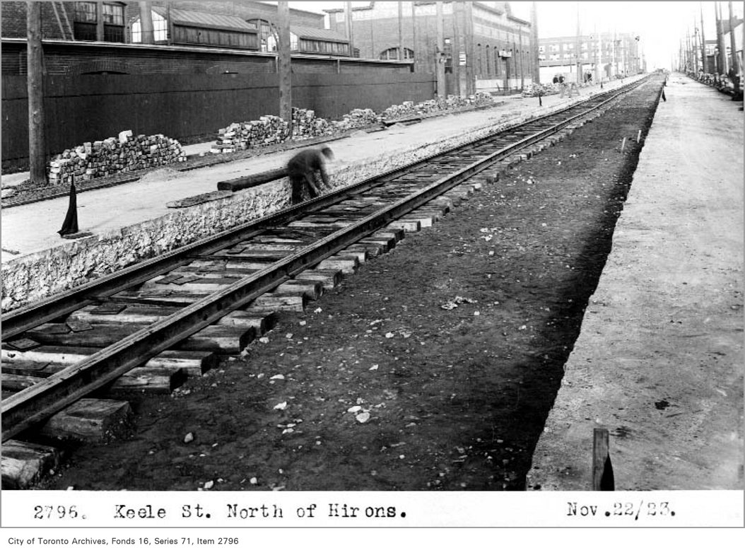
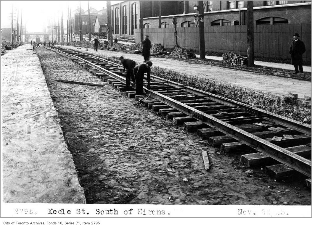
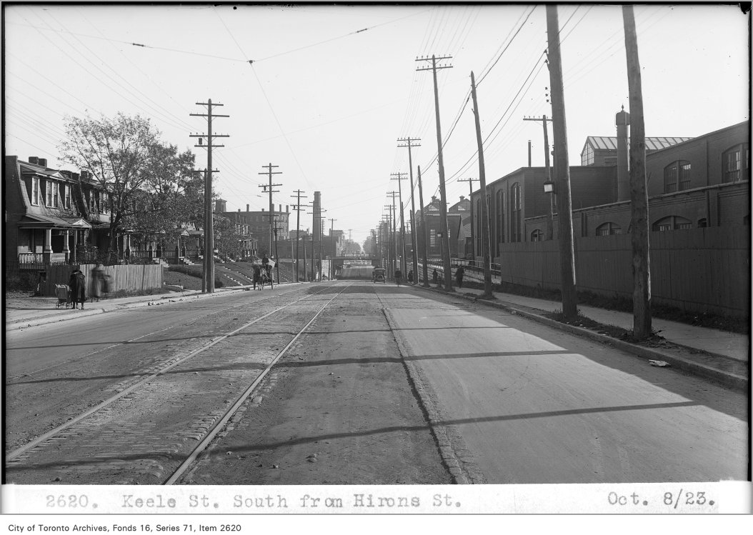
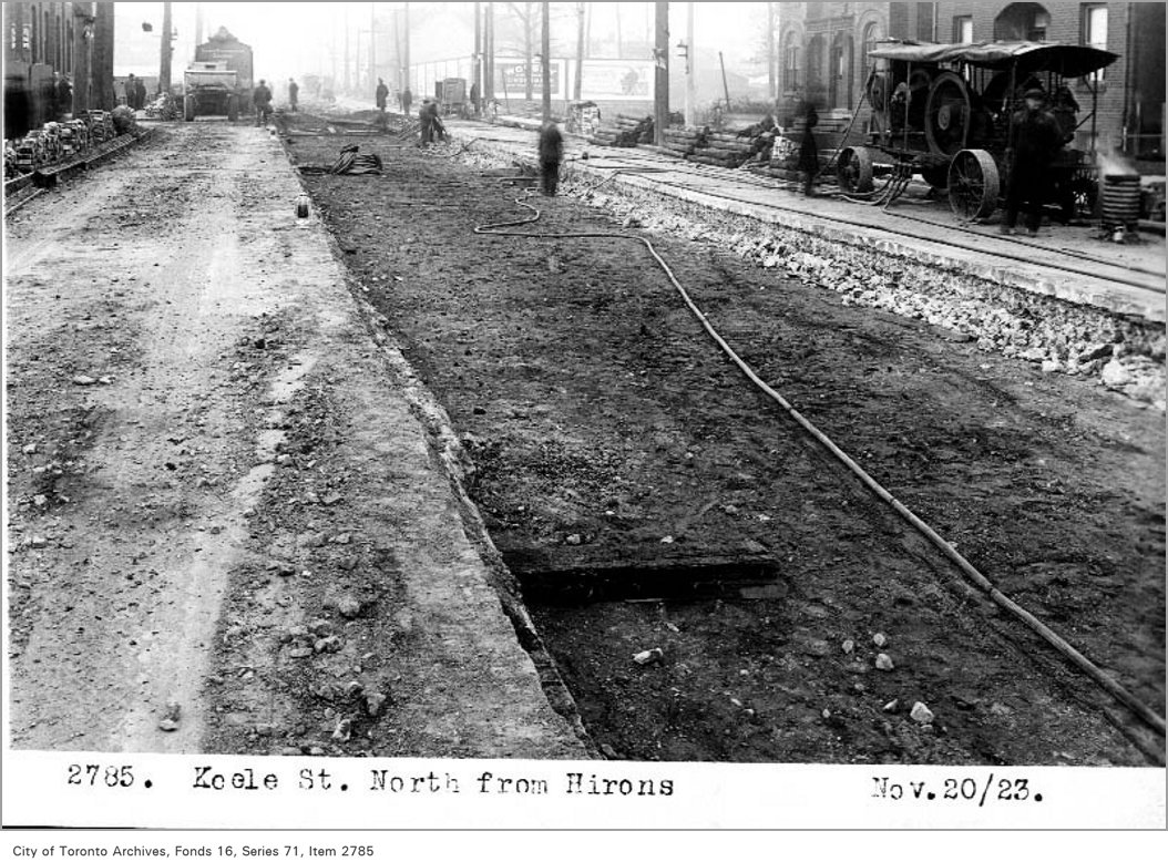
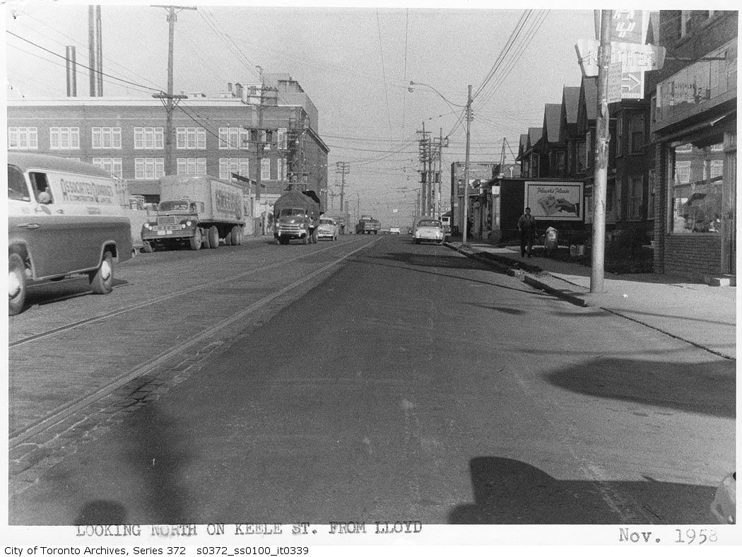
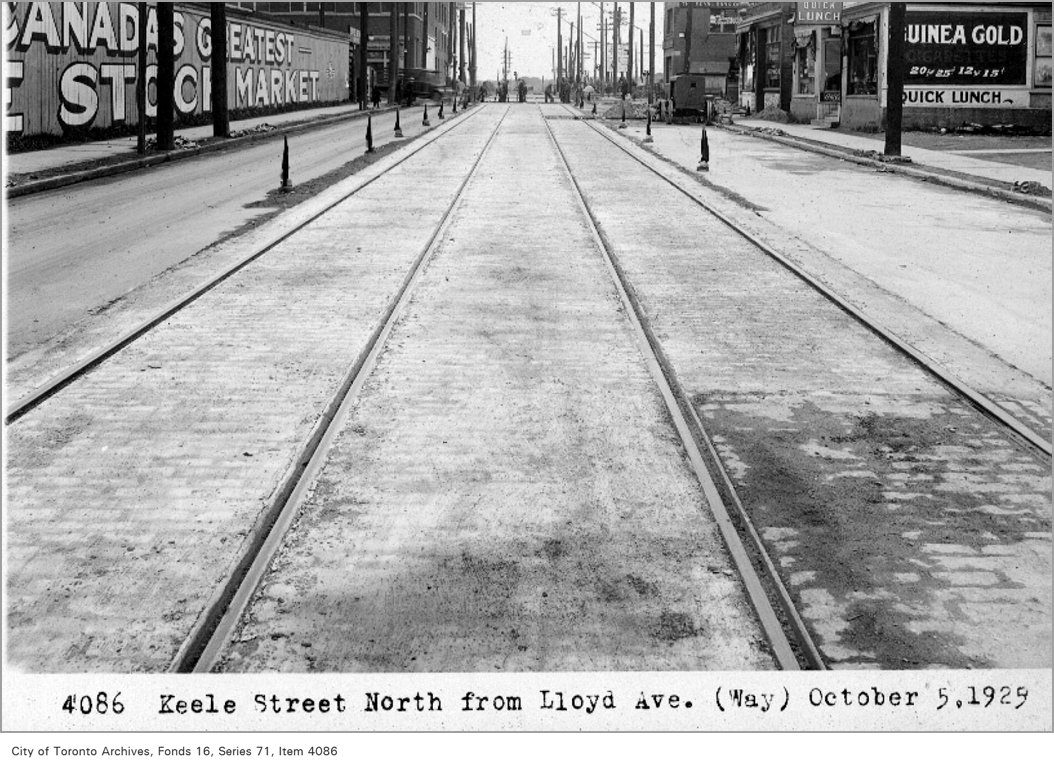
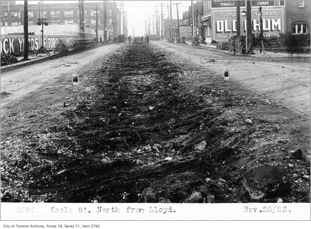

Photo locations are matched from each photo’s title against City street and address data, so some may be off. Report a wrong location