76 Boustead Ave
An address in High Park-Swansea, outside TRCA flood and shoreline hazard areas, with 8 active development applications within 250 metres.
Data as of Nov 7, 2026 · Every item lists its source
- Outside TRCA flood and shoreline hazard areas.
- 8 active development applications and 3 Committee of Adjustment applications within 250 m.
01The building
Recent permits (3)
- Building Permit Related(MS) · Closed · Apr 13, 2017
HVAC - Construct a new one storey rear addition (12m2) interior alterations (45.8m2) and a deck at rear of dwelling · Permit 17 136481 HVA - Building Permit Related(PS) · Inspection · Apr 6, 2017
Plumbing - Construct a new one storey rear addition (12m2) interior alterations (45.8m2) and a deck at rear of dwelling · Permit 17 136481 PLB - Multiple Projects · Closed · Apr 6, 2017
Construct a new one storey rear addition (12m2) interior alterations (45.8m2) and a deck at rear of dwelling. · Permit 17 136481 BLD
02Risks and the ground
TRCA mapping is for screening, not site-specific decisions. Lead results are voluntary samples from homes in the postal area, not this address.
03What’s changing nearby
- 11540 Bloor St W · 183 m · Site Plan · Under ReviewINACTIVE Proposal for a 27 storey mixed use building.File 22 138585 STE 04 SA · submitted Apr 26, 2022 · City record
- 22288 Dundas St W · 199 m · Official Plan / Rezoning · Under ReviewThe Proposal includes six mixed-use residential buildings on six development blocks. It will offer both ownership and rental housing options, and will be anchored around a new community public park and public street system. The…File 22 175915 STE 04 OZ · submitted Jul 13, 2022 · City record
- 32264 Dundas St W · 209 m · Official Plan / Rezoning · Under ReviewThe Proposal includes six mixed-use residential buildings on six development blocks. It will offer both ownership and rental housing options, and will be anchored around a new community public park and public street system. The…File 22 175915 STE 04 OZ · submitted Jul 13, 2022 · City record
- 42280 Dundas St W · 210 m · Subdivision · Under ReviewThe Proposal includes six mixed-use residential buildings on six development blocks. It will offer both ownership and rental housing options, and will be anchored around a new community public park and public street system. The…File 22 176112 STE 04 SB · submitted Jul 13, 2022 · City record
- 52280 Dundas St W · 210 m · Official Plan / Rezoning · Under ReviewThe Proposal includes six mixed-use residential buildings on six development blocks. It will offer both ownership and rental housing options, and will be anchored around a new community public park and public street system. The…File 22 175915 STE 04 OZ · submitted Jul 13, 2022 · City record
- 62280 Dundas St W · 210 m · Site Plan · Under ReviewThe Proposal includes six mixed-use residential buildings on six development blocks. It will offer both ownership and rental housing options, and will be anchored around a new community public park and public street system. The…File 22 188162 STE 04 SA · submitted Aug 9, 2022 · City record
- 72290 Dundas St W · 212 m · Official Plan / Rezoning · Under ReviewThe Proposal includes six mixed-use residential buildings on six development blocks. It will offer both ownership and rental housing options, and will be anchored around a new community public park and public street system. The…File 22 175915 STE 04 OZ · submitted Jul 13, 2022 · City record
- 82252 Dundas St W · 227 m · Official Plan / Rezoning · Under ReviewThe Proposal includes six mixed-use residential buildings on six development blocks. It will offer both ownership and rental housing options, and will be anchored around a new community public park and public street system. The…File 22 175915 STE 04 OZ · submitted Jul 13, 2022 · City record
- 937 Boustead Ave · 105 m · Committee of Adjustment · Minor variance · TLAB AppealTo alter the existing two-storey detached dwelling by constructing a rear three storey addition, full third storey addition and a rear second storey balcony. Interior alterations will be performed to construct an additional secondary…File A0403/20TEY · submitted May 19, 2020
- 10277 Indian Rd · 133 m · Committee of Adjustment · Minor variance · PostponedTo expand the existing front yard parking pad into L-shape (to accommodate a vehicular parking) through a curb cut of the existing planter area.File A0877/25TEY · submitted Dec 1, 2025
- 1152 Indian Trl · 196 m · Committee of Adjustment · Consent (severance) · PostponedTo obtain consent to create a new easement/right-of-way and to maintain existing easements/rights-of-way.File B0052/26TEY · submitted Aug 25, 2026
Development Applications; Committee of Adjustment Applications · 2 registered short-term rentals within 250 m.
04City services
05Quick answers about 76 Boustead Ave
Is 76 Boustead Ave in a flood plain?
No. It is outside TRCA's mapped flood and shoreline hazard areas. Source: TRCA Regulation mapping 2025.
What is being built near 76 Boustead Ave?
8 active development applications within 250 metres, the closest at 1540 Bloor St W (183 m). Source: Development Applications.
When is garbage day at 76 Boustead Ave?
Collection calendar Wednesday 2. Next garbage pickup: Nov 11, 2026. Source: Solid Waste Collection Schedule.
Answers are generated from the data on this page and update when the data changes.
06From the archives
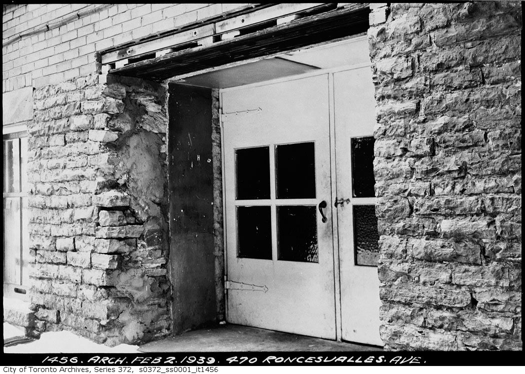
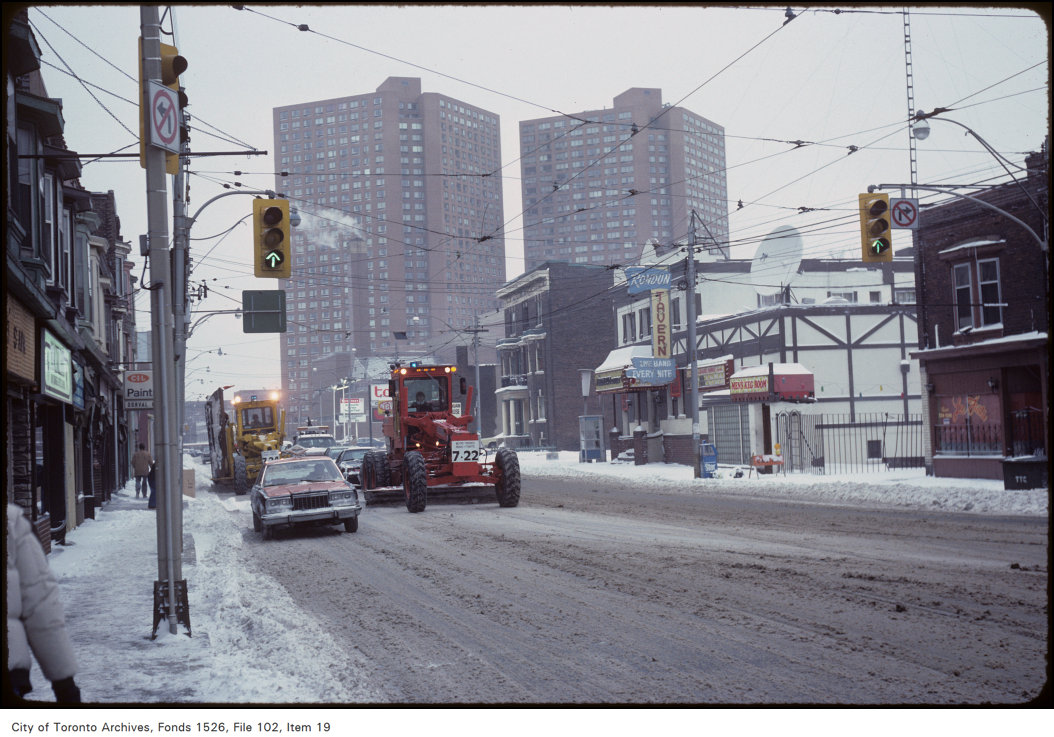
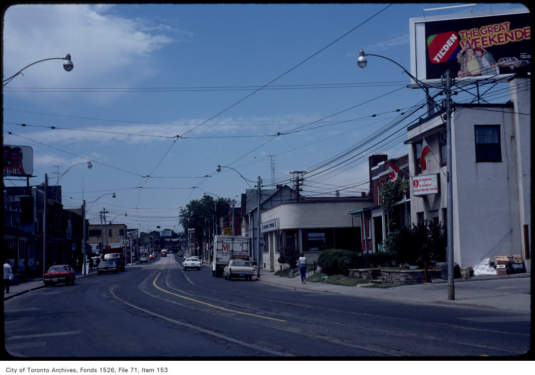
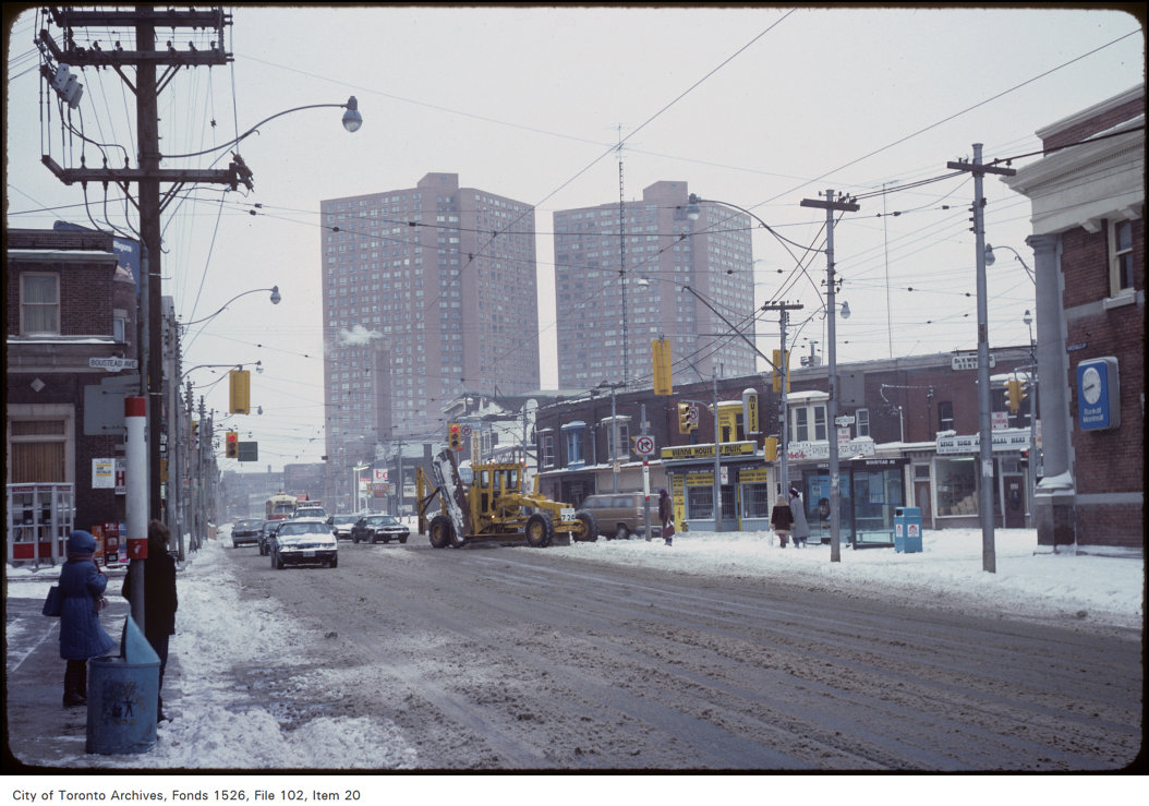
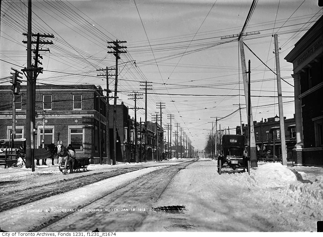
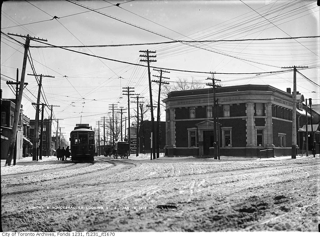
Photo locations are matched from each photo’s title against City street and address data, so some may be off. Report a wrong location