77 Mutual St
An address in Downtown Yonge East, outside TRCA flood and shoreline hazard areas, with 15 active development applications within 250 metres.
Data as of Nov 8, 2026 · Every item lists its source
- 2 fire code violations recorded in open inspections (most recent opened Jul 24, 2026).
- Outside TRCA flood and shoreline hazard areas.
- 15 active development applications and 2 Committee of Adjustment applications within 250 m.
01The building
Open fire code items (2)
- Making of records · opened May 28, 2026
- Fire department connections · opened May 28, 2026
Recent permits (8)
- New Building · Closed · Mar 18, 2021
Revision 01- to modify sprnklers. Proposal to construct 36-storey building with retail at grade, 385 residential units, 105 underground parking spaces, 285m2 of retail space. See also DM 17 156880… · Permit 17 157555 BLD - Electromagnetic Locks · Closed · Feb 10, 2021
Proposed installation of maglocks for doors, A24, A26 and A28 on the 5th floor (Amenity terrace - less than 100 persons). · Permit 21 100710 FSU - New Building · Closed · Jan 12, 2021
Proposal to construct 36-storey building with retail at grade, 385 residential units, 105 underground parking spaces, 285m2 of retail space. See also DM 17 156880 and SA 14 183547. · Permit 17 157555 BLD - New Building · Cancelled · Mar 13, 2020
Conditional Permit - Proposal to construct 36-storey building with retail at grade, 385 residential units, 105 underground parking spaces, 285m2 of retail space. See also DM 17 156880 and SA 14… · Permit 17 157555 BLD - Building Permit Related(MS) · Closed · Aug 27, 2018
HVAC - Proposal to construct 36-storey building with retail at grade, 385 residential units, 105 underground parking spaces, 285m2 of retail space. See also DM 17 156880 and SA 14 183547. · Permit 17 157555 HVA - Building Permit Related(PS) · Closed · Aug 2, 2018
Plumbing - Proposal to construct 36-storey building with retail at grade, 385 residential units, 105 underground parking spaces, 285m2 of retail space. See also DM 17 156880 and SA 14 183547. · Permit 17 157555 PLB - Partial Permit - Structural Framing · Cancelled · May 7, 2018
Conditional Permit - Part Permit - Proposal to construct 36-storey building with retail at grade, 385 residential units, 105 underground parking spaces, 285m2 of retail space. See also DM 17 156880… · Permit 17 157555 STR - Building Permit Related (DR) · Closed · May 7, 2018
Drain - Proposal to construct 36-storey building with retail at grade, 385 residential units, 105 underground parking spaces, 285m2 of retail space. See also DM 17 156880 and SA 14 183547. · Permit 17 157555 DRN
02Risks and the ground
TRCA mapping is for screening, not site-specific decisions. Lead results are voluntary samples from homes in the postal area, not this address.
03What’s changing nearby
- 1295 Jarvis St · 85 m · Site Plan · Under ReviewProposal to facilitate the redevelopment of the site with a 60-storey residential building with a 9-storey podium along Jarvis Street. Overall, the proposal consists of a total of 44,530 square metres of gross floor area. The proposed…File 22 229719 STE 13 SA · submitted Nov 15, 2022 · City record
- 2279 1/2 George St · 117 m · Condominium · Under Review*** Draft Plan of Condominium for 495 units.File 21 230230 STE 13 CD · submitted Oct 25, 2021 · City record
- 3279 1/2 George St · 117 m · Site Plan · Under ReviewSite Plan Approval application for a 44-storey mixed-use building comprised of 32,829 square metres of gross floor area including 542 residential dwelling units.File 21 218559 STE 13 SA · submitted Sep 28, 2021 · City record
- 4309 George St · 126 m · Official Plan / Rezoning · Under ReviewLift the Hold application related to a new 10-storey building, containing 80 emergency shelter beds, 100 transitional shelter beds, 124 long-term care beds, 70 supportive housing units, and a 2,269 square metre community hub. The proposal…File 25 239940 STE 13 OZ · submitted Oct 15, 2025 · City record
- 5311 George St · 127 m · Official Plan / Rezoning · Under ReviewLift the Hold application related to a new 10-storey building, containing 80 emergency shelter beds, 100 transitional shelter beds, 124 long-term care beds, 70 supportive housing units, and a 2,269 square metre community hub. The proposal…File 25 239940 STE 13 OZ · submitted Oct 15, 2025 · City record
- 6212 Dundas St E · 129 m · Condominium · Under Review*** Draft Plan of Condominium for 495 units.File 21 230230 STE 13 CD · submitted Oct 25, 2021 · City record
- 7212 Dundas St E · 129 m · Site Plan · Under ReviewSite Plan Approval application for a 44-storey mixed-use building comprised of 32,829 square metres of gross floor area including 542 residential dwelling units.File 21 218559 STE 13 SA · submitted Sep 28, 2021 · City record
- 8218 Dundas St E · 148 m · Site Plan · Under ReviewSite Plan Approval application for a 44-storey mixed-use building comprised of 32,829 square metres of gross floor area including 542 residential dwelling units.File 21 218559 STE 13 SA · submitted Sep 28, 2021 · City record
- 9218 Dundas St E · 148 m · Condominium · Under Review*** Draft Plan of Condominium for 495 units.File 21 230230 STE 13 CD · submitted Oct 25, 2021 · City record
- 10239 Dundas St E · 181 m · Official Plan / Rezoning · Council ApprovedRevised Official Plan Amendment and Zoning By-law Amendment application has been submitted to permit a 52-storey mixed-use building containing 630 dwelling units, 149 square metres of retail GFA and 36,600 square metres of residential…File 22 124214 STE 13 OZ · submitted Mar 18, 2022 · City record
- 11239 Dundas St E · 181 m · Site Plan · Under ReviewSite Plan Approval application to facilitate the redevelopment of the site for a 49-storey mixed-use building having a non-residential gross floor area of 198.40 square metres, and a residential gross floor area of 41,363.20 square…File 22 124213 STE 13 SA · submitted Mar 18, 2022 · City record
- 12241 Dundas St E · 181 m · Site Plan · Under ReviewSite Plan Approval application to facilitate the redevelopment of the site for a 49-storey mixed-use building having a non-residential gross floor area of 198.40 square metres, and a residential gross floor area of 41,363.20 square…File 22 124213 STE 13 SA · submitted Mar 18, 2022 · City record
Development Applications; Committee of Adjustment Applications · 288 registered short-term rentals within 250 m.
04City services
05Quick answers about 77 Mutual St
Is 77 Mutual St in a flood plain?
No. It is outside TRCA's mapped flood and shoreline hazard areas. Source: TRCA Regulation mapping 2025.
Does 77 Mutual St have open fire code violations?
2 violations are recorded in open fire inspections, the most recent opened Jul 24, 2026. Source: Residential Fire Inspection Results.
What is being built near 77 Mutual St?
15 active development applications within 250 metres, the closest at 295 Jarvis St (85 m). Source: Development Applications.
Answers are generated from the data on this page and update when the data changes.
06From the archives
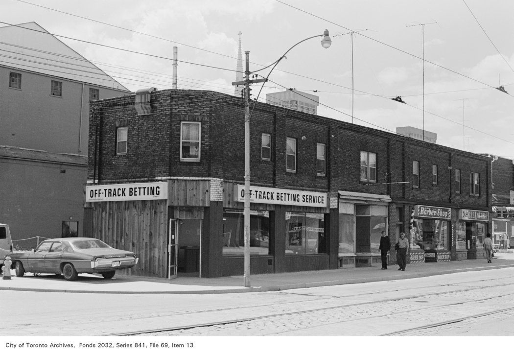
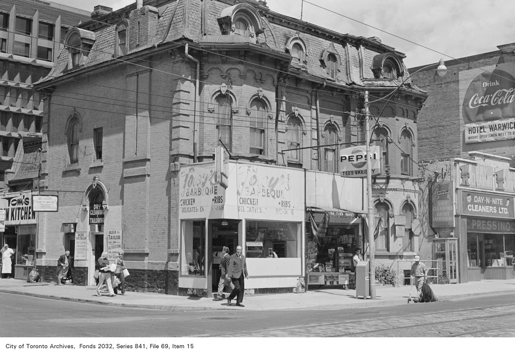
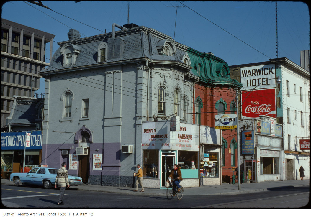
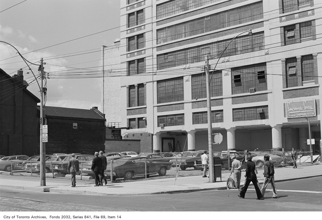
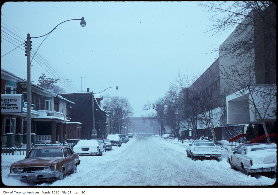
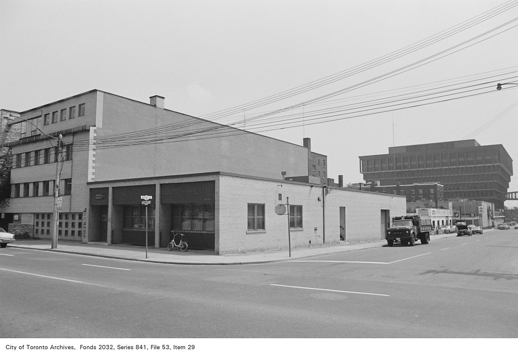
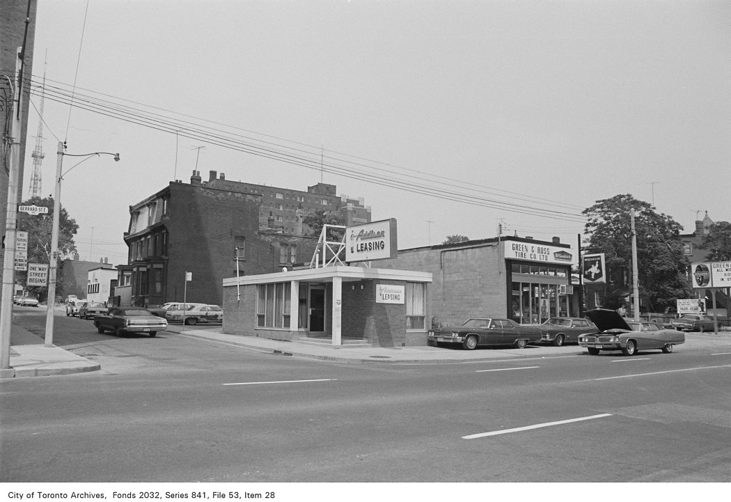
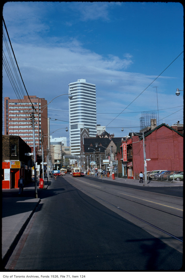
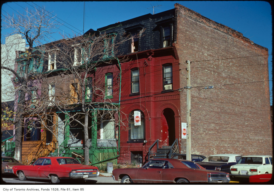
Photo locations are matched from each photo’s title against City street and address data, so some may be off. Report a wrong location