77 Peter St
A property on the Heritage Register (Part V), outside TRCA flood and shoreline hazard areas, with 15 active development applications within 250 metres.
Data as of Nov 7, 2026 · Every item lists its source
- On the Heritage Register (Part V).
- Outside TRCA flood and shoreline hazard areas.
- 15 active development applications and 2 Committee of Adjustment applications within 250 m.
01The building
Recent permits (8)
- Interior Alterations · Closed · Jan 8, 2020
Revision 01 - to delete fire hose cabinetProposal for interior alterations to unit 100 for new medical office with accessory pharmacy. · Permit 19 148259 BLD - Building Permit Related(MS) · Closed · Dec 13, 2019
Revision 01 - to delete fir hose cabinetHVAC - Proposal for interior alterations to unit 100 for new medical office with accessory pharmacy. · Permit 19 148259 HVA - Interior Alterations · Closed · Jun 5, 2019
Proposal for interior alterations to unit 100 for new medical office with accessory pharmacy. · Permit 19 148259 BLD - Building Permit Related(MS) · Closed · Jun 5, 2019
HVAC - Proposal for interior alterations to unit 100 for new medical office with accessory pharmacy. · Permit 19 148259 HVA - Building Permit Related(PS) · Closed · Jun 5, 2019
Plumbing - Proposal for interior alterations to unit 100 for new medical office with accessory pharmacy. · Permit 19 148259 PLB - Fixtures/Roof Drains: Other · Closed · Dec 19, 2018
Proposed installation of a new barrier-free washroom in an existing office space. · Permit 18 265451 PSA - Building Permit Related(MS) · Closed · Aug 7, 2018
HVAC - Proposal for interior alterations to floors 2,3 and 4 of an existing office building. Tenant - "Lift Co" · Permit 18 187652 HVA - Building Permit Related(PS) · Closed · Aug 7, 2018
Plumbing - Proposal for interior alterations to floors 2,3 and 4 of an existing office building. Tenant - "Lift Co" · Permit 18 187652 PLB
02Risks and the ground
TRCA mapping is for screening, not site-specific decisions. Lead results are voluntary samples from homes in the postal area, not this address.
03What’s changing nearby
- 1267 Richmond St W · 22 m · Subdivision · Under ReviewFile 21 184321 STE 10 SB · submitted Jul 14, 2021 · City record
- 2267 Richmond St W · 22 m · Official Plan / Rezoning · Appeal ReceivedZoning By-law Amendment application to permit a mixed-use development including two buildings, 37 and 42 storeys in height (131.0 metres and 145.2 metres, respectively, including mechanical penthouses). Proposed uses include two levels of…File 19 144266 STE 10 OZ · submitted Apr 24, 2019 · City record
- 359 Widmer St · 37 m · Official Plan / Rezoning · Appeal ReceivedZoning By-law Amendment application to permit a mixed-use development including two buildings, 37 and 42 storeys in height (131.0 metres and 145.2 metres, respectively, including mechanical penthouses). Proposed uses include two levels of…File 19 144266 STE 10 OZ · submitted Apr 24, 2019 · City record
- 459 Widmer St · 37 m · Subdivision · Under ReviewFile 21 184321 STE 10 SB · submitted Jul 14, 2021 · City record
- 5263 Richmond St W · 41 m · Official Plan / Rezoning · Appeal ReceivedZoning By-law Amendment application to permit a mixed-use development including two buildings, 37 and 42 storeys in height (131.0 metres and 145.2 metres, respectively, including mechanical penthouses). Proposed uses include two levels of…File 19 144266 STE 10 OZ · submitted Apr 24, 2019 · City record
- 6263 Richmond St W · 41 m · Subdivision · Under ReviewFile 21 184321 STE 10 SB · submitted Jul 14, 2021 · City record
- 7261 Richmond St W · 51 m · Official Plan / Rezoning · Appeal ReceivedZoning By-law Amendment application to permit a mixed-use development including two buildings, 37 and 42 storeys in height (131.0 metres and 145.2 metres, respectively, including mechanical penthouses). Proposed uses include two levels of…File 19 144266 STE 10 OZ · submitted Apr 24, 2019 · City record
- 8261 Richmond St W · 51 m · Subdivision · Under ReviewFile 21 184321 STE 10 SB · submitted Jul 14, 2021 · City record
- 941 Widmer St · 69 m · Subdivision · Under ReviewFile 21 184321 STE 10 SB · submitted Jul 14, 2021 · City record
- 1041 Widmer St · 69 m · Official Plan / Rezoning · Appeal ReceivedZoning By-law Amendment application to permit a mixed-use development including two buildings, 37 and 42 storeys in height (131.0 metres and 145.2 metres, respectively, including mechanical penthouses). Proposed uses include two levels of…File 19 144266 STE 10 OZ · submitted Apr 24, 2019 · City record
- 11126 John St · 71 m · Official Plan / Rezoning · Appeal ReceivedZoning By-law Amendment application to permit a mixed-use development including two buildings, 37 and 42 storeys in height (131.0 metres and 145.2 metres, respectively, including mechanical penthouses). Proposed uses include two levels of…File 19 144266 STE 10 OZ · submitted Apr 24, 2019 · City record
- 12126 John St · 71 m · Subdivision · Under ReviewFile 21 184321 STE 10 SB · submitted Jul 14, 2021 · City record
Development Applications; Committee of Adjustment Applications · 268 registered short-term rentals within 250 m.
04City services
05Quick answers about 77 Peter St
Is 77 Peter St in a flood plain?
No. It is outside TRCA's mapped flood and shoreline hazard areas. Source: TRCA Regulation mapping 2025.
What is being built near 77 Peter St?
15 active development applications within 250 metres, the closest at 267 Richmond St W (22 m). Source: Development Applications.
Answers are generated from the data on this page and update when the data changes.
06From the archives
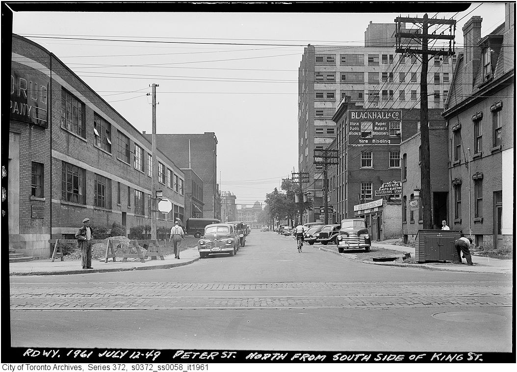
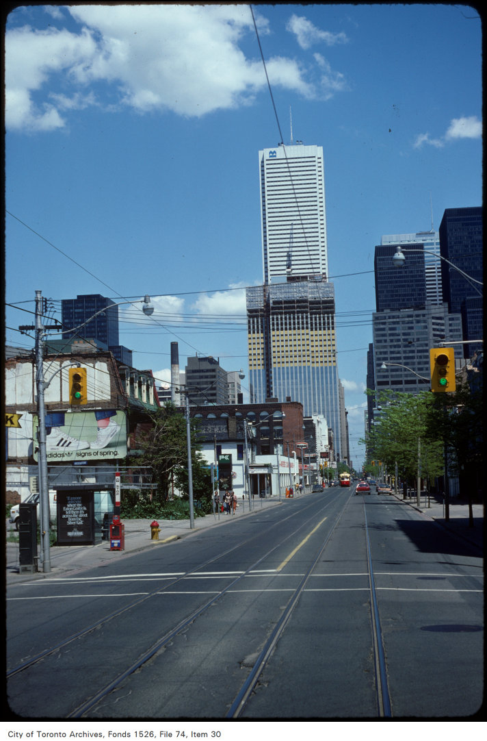
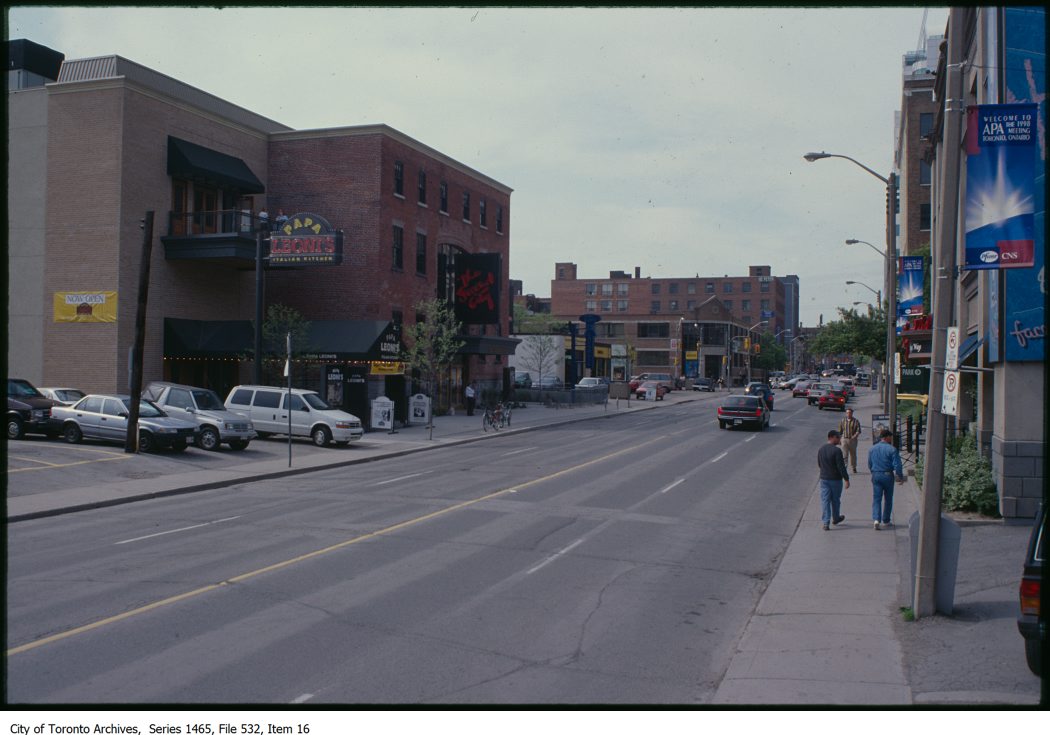
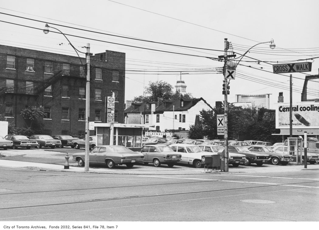
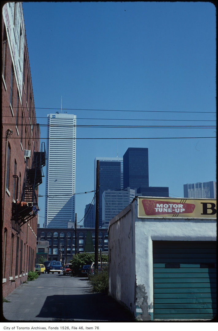
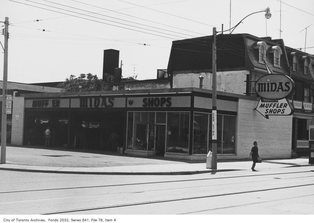
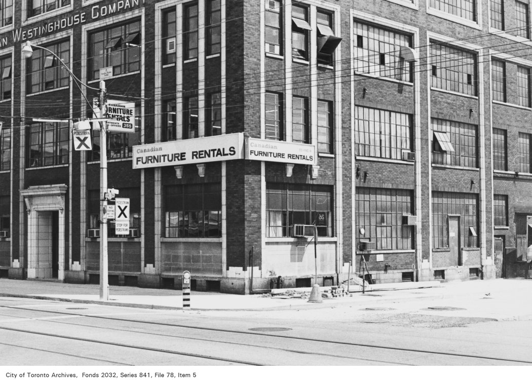
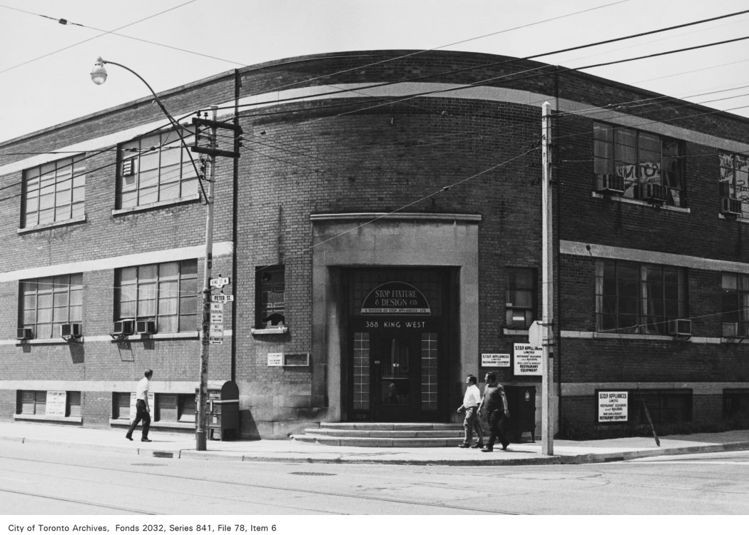
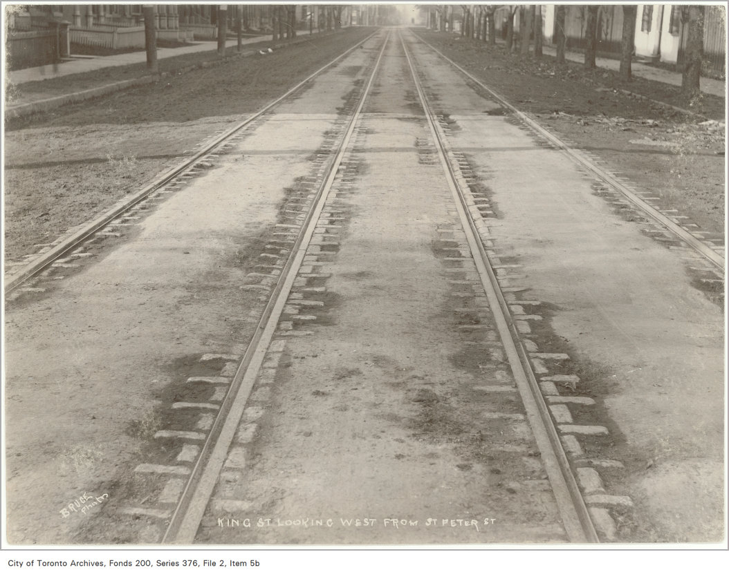
Photo locations are matched from each photo’s title against City street and address data, so some may be off. Report a wrong location