77 St Clair Ave E
A registered apartment building built in 1967 with a RentSafe score of 82, outside TRCA flood and shoreline hazard areas, with 15 active development applications within 250 metres.
Data as of Nov 7, 2026 · Every item lists its source
- RentSafe evaluation score of 82 out of 100 (evaluated Nov 26, 2025).
- No fire code violations in open inspections.
- Outside TRCA flood and shoreline hazard areas.
- 15 active development applications and 1 Committee of Adjustment application within 250 m.
01The building
Recent permits (8)
- Building Permit Related(PS) · Closed · May 11, 2026
Plumbing - LANDLORD WORK TO CREATE NEW CORRIDOR, REDEMISNG EXISTING SUITE 204 TO CREATE NEW SUITE 206, NEW TENANT FIT UP. · Permit 25 256459 PLB - Interior Alterations · Closed · Jan 16, 2026
LANDLORD WORK TO CREATE NEW CORRIDOR, REDEMISNG EXISTING SUITE 204 TO CREATE NEW SUITE 206, NEW TENANT FIT UP. · Permit 25 256459 BLD - Building Permit Related(MS) · Closed · Jan 16, 2026
HVAC - LANDLORD WORK TO CREATE NEW CORRIDOR, REDEMISNG EXISTING SUITE 204 TO CREATE NEW SUITE 206, NEW TENANT FIT UP. · Permit 25 256459 HVA - Sign Building Permit Related · Closed · May 6, 2022
Application for a permit to erect and display one illuminated wall sign on the EASTERLY elevation, already approved by variance # 22-109108. The sign has one sign face, measuring 1.68 metres… · Permit 22 140967 DST - Sign Building Permit Related · Closed · May 6, 2022
To erect and display four illuminated first party signs displaying static copy with the following details:Sign 1: an overhanging structure sign, with a face measuring 1.68 meters vertically by 9.24… · Permit 22 107340 DST - Sign Building Permit Related · Closed · Apr 14, 2022
Application for a permit to erect and display three illuminated first party signs, with the following details:Sign #1: one overhanging structure sign with a face measuring 0.41 metre vertically by… · Permit 22 121565 DST - Multiple Projects · Closed · Mar 11, 2022
Rev 02 - To revise 3 swing doors (1 located at P1, 2 located at the Ground Floor) to sliding doors as indicated in the affected drawings. · Permit 20 229242 BLD - Multiple Projects · Closed · Nov 1, 2021
Rev 01- revise the fire separations at the P1 and the Ground floor. · Permit 20 229242 BLD
02Risks and the ground
TRCA mapping is for screening, not site-specific decisions. Lead results are voluntary samples from homes in the postal area, not this address.
03What’s changing nearby
- 136 Alvin Ave · 208 m · Official Plan / Rezoning · OMB AppealApplication to amend the Official Plan and Zoning By-law to permit a mixed-use development consisting of four residential buildings 44, 39, 27, and 13-storeys, a new park at the northwest corner of the site, a courtyard privately owned…File 19 134851 STE 12 OZ · submitted Apr 3, 2019 · City record
- 236 Alvin Ave · 208 m · Subdivision · Under ReviewDraft Plan of Subdivision for 4 blocks.File 21 226522 STE 12 SB · submitted Oct 15, 2021 · City record
- 336 Alvin Ave · 208 m · Site Plan · Under ReviewMixed use development consisting of three towers organized around a central publicly accessible open space (POPS), along with a new 1,560 m² public park at the northwest corner of the site. The development would include 661 residential…File 26 185667 STE 12 SA · submitted Jun 16, 2026 · City record
- 429 Heath St E · 218 m · Official Plan / Rezoning · OMB AppealApplication to amend the Official Plan and Zoning By-law to permit a mixed-use development consisting of four residential buildings 44, 39, 27, and 13-storeys, a new park at the northwest corner of the site, a courtyard privately owned…File 19 134851 STE 12 OZ · submitted Apr 3, 2019 · City record
- 529 Heath St E · 218 m · Subdivision · Under ReviewDraft Plan of Subdivision for 4 blocks.File 21 226522 STE 12 SB · submitted Oct 15, 2021 · City record
- 629 Heath St E · 218 m · Site Plan · Under ReviewMixed use development consisting of three towers organized around a central publicly accessible open space (POPS), along with a new 1,560 m² public park at the northwest corner of the site. The development would include 661 residential…File 26 185667 STE 12 SA · submitted Jun 16, 2026 · City record
- 730 Alvin Ave · 220 m · Official Plan / Rezoning · OMB AppealApplication to amend the Official Plan and Zoning By-law to permit a mixed-use development consisting of four residential buildings 44, 39, 27, and 13-storeys, a new park at the northwest corner of the site, a courtyard privately owned…File 19 134851 STE 12 OZ · submitted Apr 3, 2019 · City record
- 830 Alvin Ave · 220 m · Site Plan · Under ReviewMixed use development consisting of three towers organized around a central publicly accessible open space (POPS), along with a new 1,560 m² public park at the northwest corner of the site. The development would include 661 residential…File 26 185667 STE 12 SA · submitted Jun 16, 2026 · City record
- 930 Alvin Ave · 220 m · Subdivision · Under ReviewDraft Plan of Subdivision for 4 blocks.File 21 226522 STE 12 SB · submitted Oct 15, 2021 · City record
- 1027 Heath St E · 226 m · Site Plan · Under ReviewMixed use development consisting of three towers organized around a central publicly accessible open space (POPS), along with a new 1,560 m² public park at the northwest corner of the site. The development would include 661 residential…File 26 185667 STE 12 SA · submitted Jun 16, 2026 · City record
- 1127 Heath St E · 226 m · Official Plan / Rezoning · OMB AppealApplication to amend the Official Plan and Zoning By-law to permit a mixed-use development consisting of four residential buildings 44, 39, 27, and 13-storeys, a new park at the northwest corner of the site, a courtyard privately owned…File 19 134851 STE 12 OZ · submitted Apr 3, 2019 · City record
- 1227 Heath St E · 226 m · Subdivision · Under ReviewDraft Plan of Subdivision for 4 blocks.File 21 226522 STE 12 SB · submitted Oct 15, 2021 · City record
Development Applications; Committee of Adjustment Applications · 1 registered short-term rentals within 250 m.
04City services
05Quick answers about 77 St Clair Ave E
Is 77 St Clair Ave E in a flood plain?
No. It is outside TRCA's mapped flood and shoreline hazard areas. Source: TRCA Regulation mapping 2025.
Does 77 St Clair Ave E have open fire code violations?
No. The City's fire inspection records show no violations in open inspections. Source: Residential Fire Inspection Results.
What is being built near 77 St Clair Ave E?
15 active development applications within 250 metres, the closest at 36 Alvin Ave (208 m). Source: Development Applications.
When is garbage day at 77 St Clair Ave E?
Collection calendar Wednesday 2. Next garbage pickup: Nov 11, 2026. Source: Solid Waste Collection Schedule.
Answers are generated from the data on this page and update when the data changes.
06From the archives
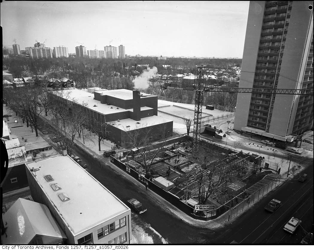
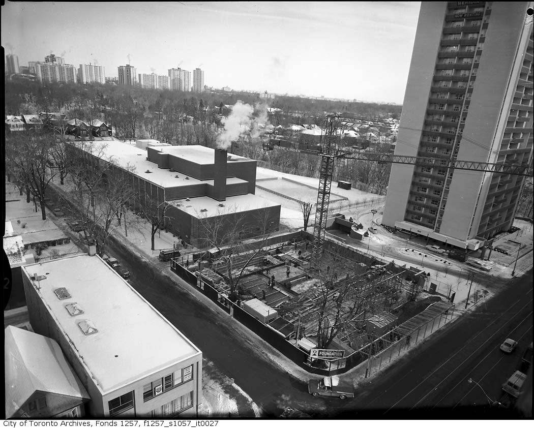
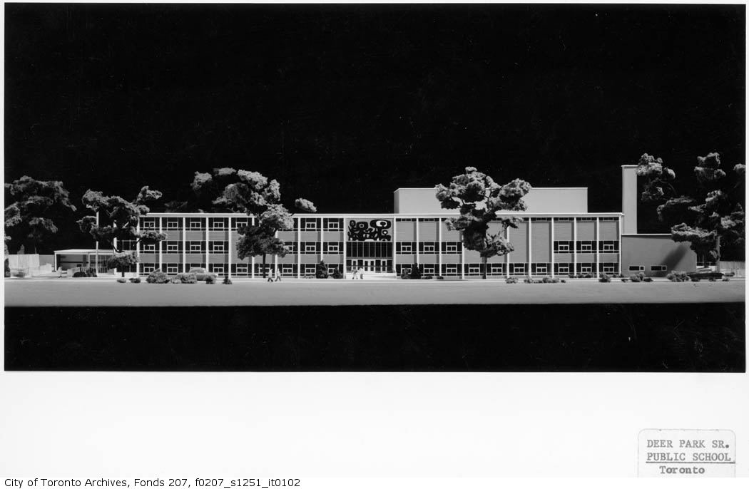
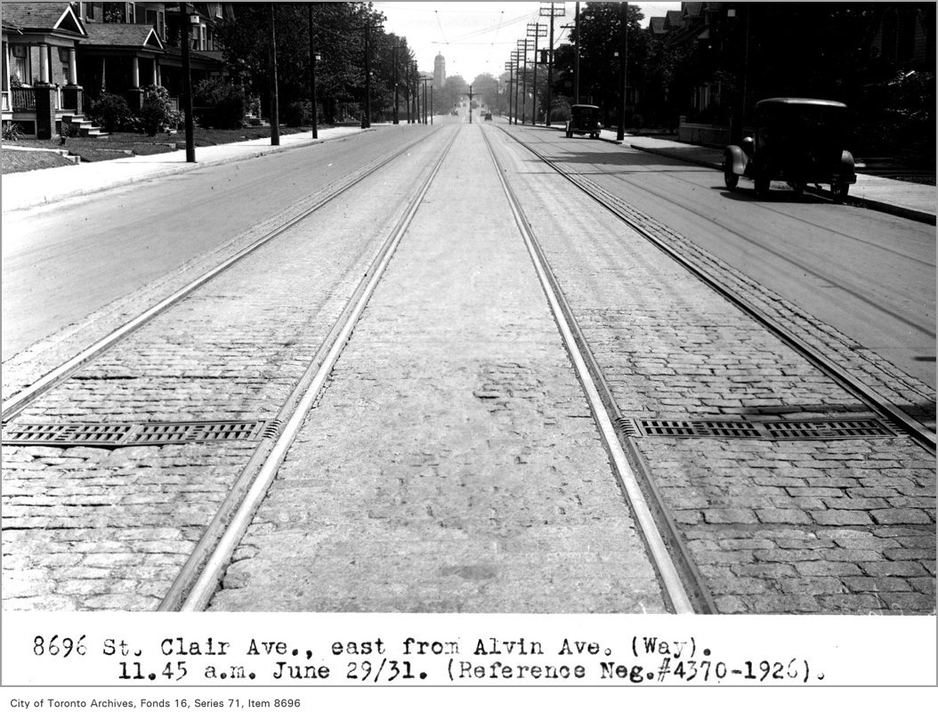
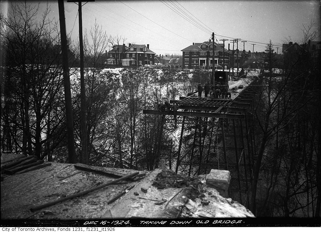

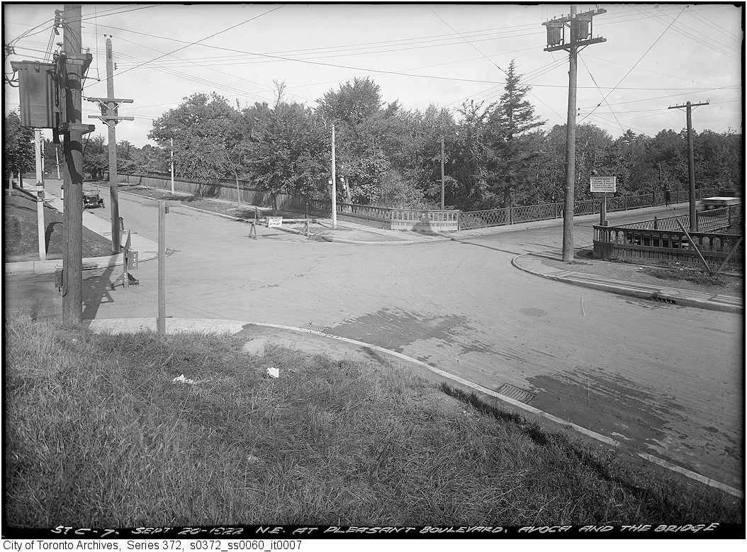
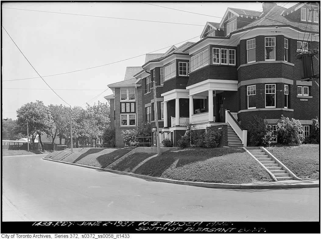
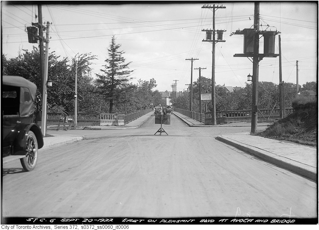
Photo locations are matched from each photo’s title against City street and address data, so some may be off. Report a wrong location