79 Lynd Ave
An address in Roncesvalles, outside TRCA flood and shoreline hazard areas, with 7 active development applications within 250 metres.
Data as of Nov 7, 2026 · Every item lists its source
- Outside TRCA flood and shoreline hazard areas.
- 7 active development applications and 0 Committee of Adjustment applications within 250 m.
01The building
Recent permits (4)
- Multiple Projects · Revision Issued · Jun 6, 2018
REV 01: Changes to footing detail on addition.Proposal for multiple projects to an existing 2 storey SFD-semi dwelling. Scope of work includes a 2 storey rear addition, minor interior alterations,… · Permit 17 262587 BLD - Building Permit Related(MS) · Inspection · Nov 30, 2017
HVAC - Proposal for multiple projects to an existing 2 storey SFD-semi dwelling. Scope of work includes a 2 storey rear addition, minor interior alterations, rear deck and demolish the detached… · Permit 17 262587 HVA - Multiple Projects · Inspection · Nov 29, 2017
Proposal for multiple projects to an existing 2 storey SFD-semi dwelling. Scope of work includes a 2 storey rear addition, minor interior alterations, rear deck and demolish the detached garage and… · Permit 17 262587 BLD - Building Permit Related(PS) · Inspection · Nov 29, 2017
Plumbing - Proposal for multiple projects to an existing 2 storey SFD-semi dwelling. Scope of work includes a 2 storey rear addition, minor interior alterations, rear deck and demolish the detached… · Permit 17 262587 PLB
02Risks and the ground
TRCA mapping is for screening, not site-specific decisions. Lead results are voluntary samples from homes in the postal area, not this address.
03What’s changing nearby
- 1105 Ritchie Ave · 124 m · Official Plan / Rezoning · Under ReviewThe Proposal includes six mixed-use residential buildings on six development blocks. It will offer both ownership and rental housing options, and will be anchored around a new community public park and public street system. The…File 22 175915 STE 04 OZ · submitted Jul 13, 2022 · City record
- 26 Howard Park Ave · 178 m · Official Plan / Rezoning · OMB ApprovedIn April of 2023, the Ontario Land Tribunal approved a development that proposes an 11-storey mixed-use building with 8,294 square metres of gross floor area, including 294 square metres of retail gross floor area and 130 residential units.File 21 146414 STE 04 OZ · submitted Apr 27, 2021 · City record
- 36 Howard Park Ave · 178 m · Condominium · Under Review*** 128 dwelling units, 40 parking spacesFile 21 235285 STE 04 CD · submitted Nov 8, 2021 · City record
- 46 Howard Park Ave · 178 m · Site Plan · RefusedProposed 11-storey mixed-use building with an overall height of 36 metres, approximately 302 square metres of grade-related retail and approximately 130 residential units on the floors above grade, with a total building gross floor area…File 23 186576 STE 04 SA · submitted Aug 10, 2023 · City record
- 5158 Sterling Rd · 195 m · Site Plan · Under ReviewSite Plan Approval for a 31-storey mixed-use building which includes 25,493m2 of residential gross floor area with 388 residential units and 838m2 of non-residential GFA. A two-storey commercial building including 1,030m2 of…File 24 156482 STE 09 SA · submitted May 30, 2024 · City record
- 6158 Sterling Rd · 195 m · Site Plan · Under ReviewSite Plan application to allow for the construction of a new commercial office building. The proposed building will be 11 storeys (44.86 metres) in height, excluding the mechanical penthouse. The proposed gross floor area of the building…File 22 191025 STE 09 SA · submitted Aug 15, 2022 · City record
- 7150 Sterling Rd · 214 m · Site Plan · Under ReviewSite Plan Approval for a 13-storey mixed-use building having a non-residential gross floor area of 1116 square metres, and a residential gross floor area of 12,282 square metres.File 22 137336 STE 09 SA · submitted Apr 22, 2022 · City record
Development Applications; Committee of Adjustment Applications · 5 registered short-term rentals within 250 m.
04City services
05Quick answers about 79 Lynd Ave
Is 79 Lynd Ave in a flood plain?
No. It is outside TRCA's mapped flood and shoreline hazard areas. Source: TRCA Regulation mapping 2025.
What is being built near 79 Lynd Ave?
7 active development applications within 250 metres, the closest at 105 Ritchie Ave (124 m). Source: Development Applications.
When is garbage day at 79 Lynd Ave?
Collection calendar Wednesday 2. Next garbage pickup: Nov 11, 2026. Source: Solid Waste Collection Schedule.
Answers are generated from the data on this page and update when the data changes.
06From the archives
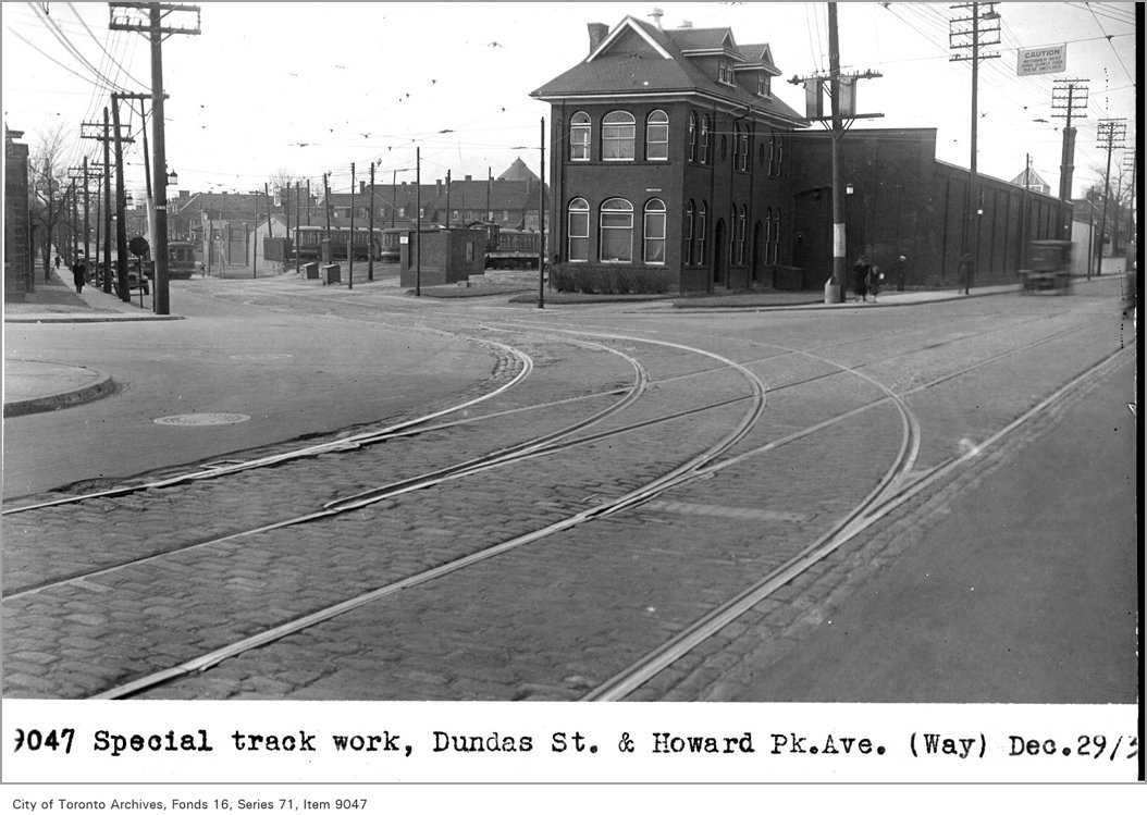
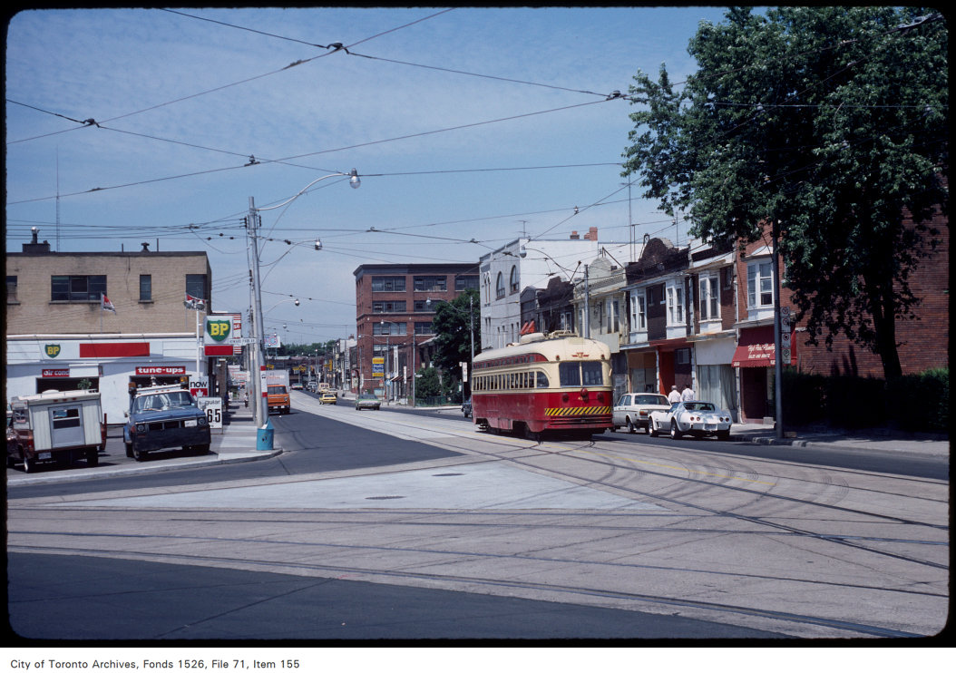
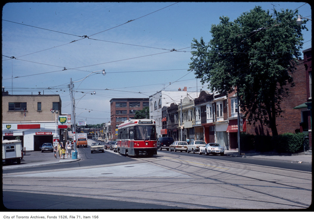
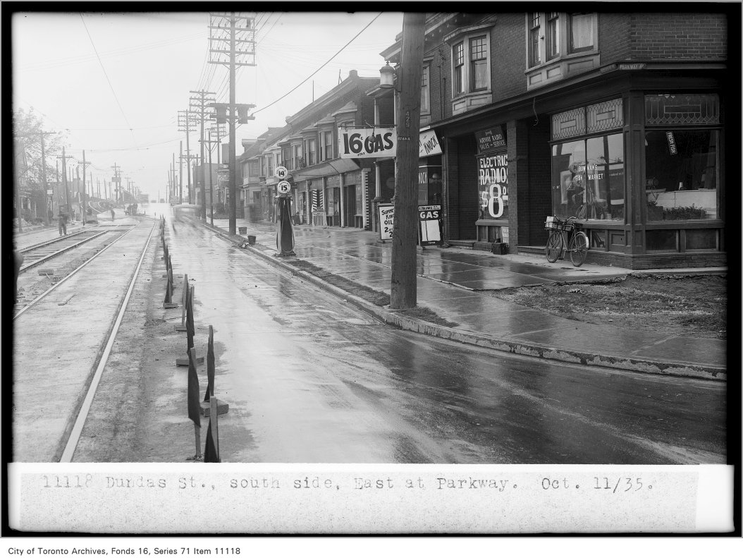

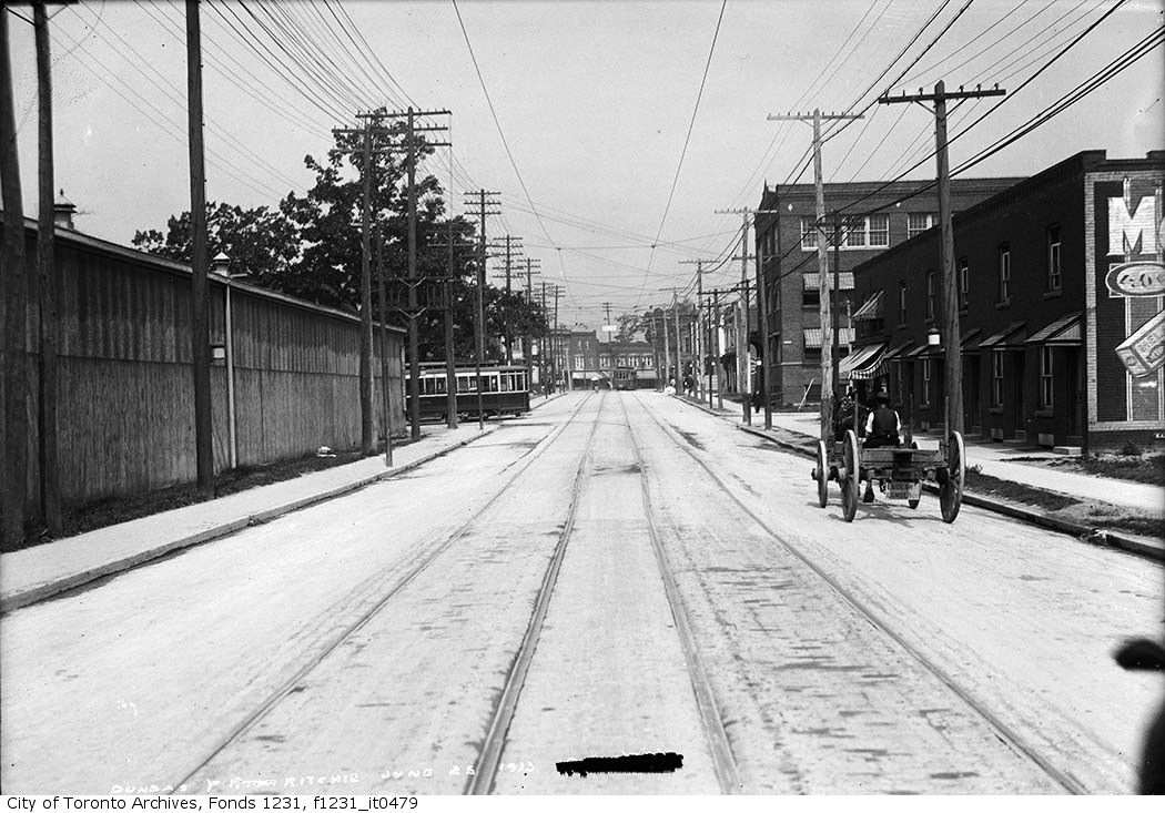
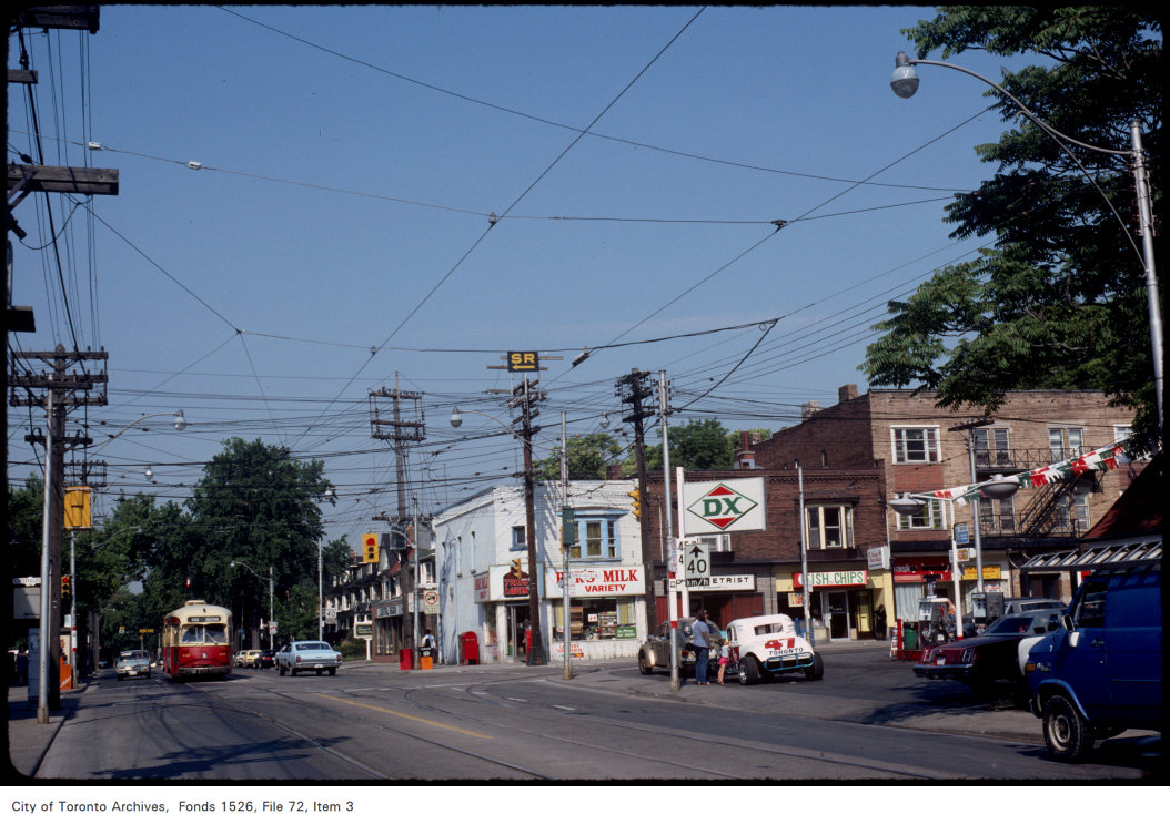
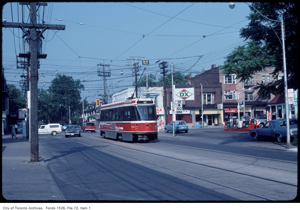
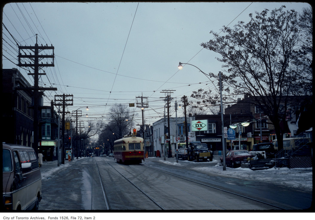
Photo locations are matched from each photo’s title against City street and address data, so some may be off. Report a wrong location