797 Eastern Ave
An address in South Riverdale, inside a TRCA flood or shoreline hazard area, with 5 active development applications within 250 metres.
Data as of Nov 7, 2026 · Every item lists its source
- Inside a TRCA flood or shoreline hazard area.
- 5 active development applications and 2 Committee of Adjustment applications within 250 m.
01The building
Recent permits (1)
- Addition(s) · Inspection · Oct 26, 2021
Proposal to enclose the front porch and put new facade in the existing semi-detached dwelling. · Permit 21 194747 BLD
02Risks and the ground
TRCA mapping is for screening, not site-specific decisions. Lead results are voluntary samples from homes in the postal area, not this address.
03What’s changing nearby
- 11243 Queen St E · 11 m · Site Plan · NOAC IssuedSite Plan Control application to facilitate the redevelopment of the site for a 9-storey mixed-use building having a non-residential gross floor area of 366.9m2, and a residential gross floor area of 10,088.1m2. A total of 142 dwelling…File 22 123729 STE 14 SA · submitted Mar 17, 2022 · City record
- 21249 Queen St E · 30 m · Site Plan · NOAC IssuedProposal for a 6 storey mid-rise building with 29 dwelling units, commercial space at grade and two levels of below grade parking.File 19 155420 STE 14 SA · submitted May 16, 2019 · City record
- 31233 Queen St E · 34 m · Site Plan · NOAC IssuedSite Plan Control application to facilitate the redevelopment of the site for a 9-storey mixed-use building having a non-residential gross floor area of 366.9m2, and a residential gross floor area of 10,088.1m2. A total of 142 dwelling…File 22 123729 STE 14 SA · submitted Mar 17, 2022 · City record
- 477 Leslie St · 45 m · Site Plan · NOAC IssuedSite Plan Control application to facilitate the redevelopment of the site for a 9-storey mixed-use building having a non-residential gross floor area of 366.9m2, and a residential gross floor area of 10,088.1m2. A total of 142 dwelling…File 22 123729 STE 14 SA · submitted Mar 17, 2022 · City record
- 550 Laing St · 200 m · Site Plan · NOAC IssuedSite Plan application to permit two apartment buildings (Building A: 7 storeys, 24.5m and Building B: four storeys, 13.8m) of with a total of 130 dwelling units. A total of 16 vehicular and 143 bicycle parking spaces are proposed.File 22 242125 STE 14 SA · submitted Dec 23, 2022 · City record
- 6789 Eastern Ave · 22 m · Committee of Adjustment · Minor variance · DeferredTo alter the existing two-storey semi-detached dwelling by constructing a rear basement walkout with a terrace, and a rear two-storey addition with a ground floor deck. Also, to construct a rear parking pad (two vehicular parking spaces),…File A1077/24TEY · submitted Dec 11, 2024
- 7818 Eastern Ave · 89 m · Committee of Adjustment · Minor variance · TLAB AppealTo permit a dog daycare and boarding use.File A0706/21TEY · submitted May 26, 2021
Development Applications; Committee of Adjustment Applications · 2 registered short-term rentals within 250 m.
04City services
05Quick answers about 797 Eastern Ave
Is 797 Eastern Ave in a flood plain?
Yes. It is inside a TRCA flood or shoreline hazard area. Source: TRCA Regulation mapping 2025.
What is being built near 797 Eastern Ave?
5 active development applications within 250 metres, the closest at 1243 Queen St E (11 m). Source: Development Applications.
When is garbage day at 797 Eastern Ave?
Collection calendar Thursday 1. Next garbage pickup: Nov 19, 2026. Source: Solid Waste Collection Schedule.
Answers are generated from the data on this page and update when the data changes.
06From the archives
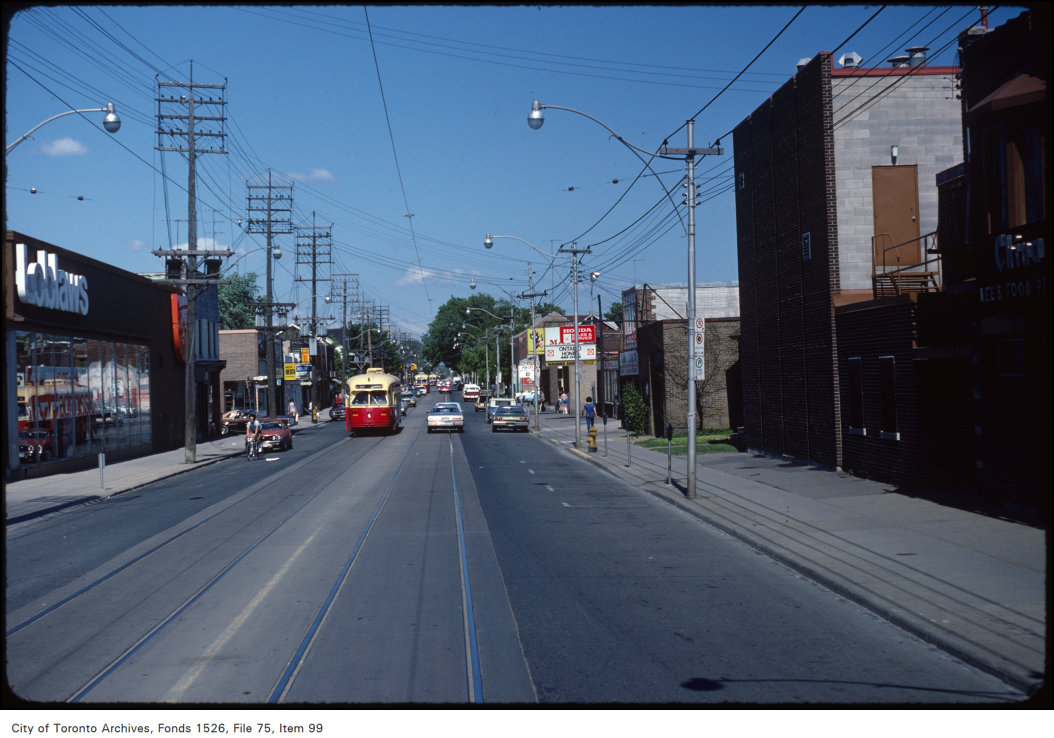
Photo locations are matched from each photo’s title against City street and address data, so some may be off. Report a wrong location