80 St Patrick St
An address in Kensington-Chinatown, outside TRCA flood and shoreline hazard areas, with 15 active development applications within 250 metres.
Data as of Nov 8, 2026 · Every item lists its source
- 10 fire code violations recorded in open inspections (most recent opened Sep 8, 2025).
- Outside TRCA flood and shoreline hazard areas.
- 15 active development applications and 0 Committee of Adjustment applications within 250 m.
01The building
Open fire code items (10)
- 1.1.2.1./7.2.2.1. Records of Test (Elevator) · opened Apr 30, 2025
- 1.1.2.1./7.3.1.2. Records of Test (Smoke Control) · opened Apr 30, 2025
- 2.2.3.2 Maintenance of closures · opened Apr 30, 2025
- 6.2.7.1 Inspection, Testing and Maintenance · opened Apr 30, 2025
- S.30 - INSPECTION ORDER · opened Apr 30, 2025
- 1.1.2.1./6.3.3.8. - Records of Test (Smoke Alarms) · opened Apr 30, 2025
- 1.1.2.1 Records to be prepared · opened Apr 30, 2025
- 1.1.2.1./2.7.3.3.(3) Records of Test (Emergency Lighting) · opened Apr 30, 2025
- 1.1.2.1./6.3.2.2. Records of Test (Fire Alarm) · opened Apr 30, 2025
- 2.8.2.1 Measures in a fire safety plan · opened Apr 30, 2025
02Risks and the ground
TRCA mapping is for screening, not site-specific decisions. Lead results are voluntary samples from homes in the postal area, not this address.
03What’s changing nearby
- 1250 Dundas St W · 50 m · Official Plan / Rezoning · Council ApprovedCombined Official Plan Amendment (OPA) & Zoning By-law Amendment (ZBA) application for an increase in height from 49 to 57-storeys, a reduction in the required non-residential gross floor area, and a new 740 square metre open space.File 24 230187 STE 11 OZ · submitted Oct 23, 2024 · City record
- 2250 Dundas St W · 50 m · Site Plan · Under ReviewINACTIVE Proposal for a 49-storey mixed-use building comprised of 441 residential dwelling units, including 26 affordable housing units. The proposal will have a non-residential gross floor area of 31,113 square metres, and a…File 20 211719 STE 11 SA · submitted Oct 27, 2020 · City record
- 3250 Dundas St W · 50 m · Subdivision · Under ReviewDraft Plan of Subdivision for 4 blocks.File 21 234749 STE 11 SB · submitted Nov 5, 2021 · City record
- 4234 Simcoe St · 128 m · Condominium · Draft Plan ApprovedStandard Draft Plan of Condominium for 17 non-residential units.File 24 135230 STE 10 CD · submitted Apr 11, 2024 · City record
- 5522 University Ave · 166 m · Site Plan · Under ReviewSite Plan Control application to permit a 64-storey mixed-use building, comprised of a 51-storey residential tower atop a 15-storey office podium. The proposal consists of a total of approximately 54,983 square metres of gross floor area,…File 22 192155 STE 11 SA · submitted Aug 17, 2022 · City record
- 6522 University Ave · 166 m · Official Plan / Rezoning · Council ApprovedZoning By-law Amendment application to permit a 64-storey mixed-use building, containing 579 dwelling units, 21,138 square metres to office and 354 square metres to retail gross floor area.File 22 192156 STE 11 OZ · submitted Aug 17, 2022 · City record
- 7505 University Ave · 201 m · Official Plan / Rezoning · OMB ApprovedZoning By-law Amendment application to permit a 64-storey mixed-use building, containing 704 dwelling units, 25,100 square metres of office and 600 square metres of retail gross floor area.File 22 198152 STE 11 OZ · submitted Aug 31, 2022 · City record
- 8505 University Ave · 201 m · Official Plan / Rezoning · OMB ApprovedOfficial Plan Amendment application to permit a 64-storey mixed-use building, containing 704 dwelling units, 25,100 square metres of office and 600 square metres of retail gross floor area. A concurrent Zoning Amendment application for…File 24 118172 STE 11 OZ · submitted Feb 23, 2024 · City record
- 9505 University Ave · 201 m · Site Plan · Under ReviewThe redevelopment proposes a 64-storey mixed-use building with a 12-storey office podium and is inclusive of four levels of below-grade parking with a total of 171 parking spaces. The redevelopment proposes 704 dwelling units, resulting…File 22 198151 STE 11 SA · submitted Aug 31, 2022 · City record
- 10195 Dundas St W · 202 m · Site Plan · Under ReviewSite plan application for a 41-storey mixed use building, comprising of a 6-storey podium, on top of which is a 35-storey tower. The proposed building will contain retail uses at-grade, along with non-residential use between the 2nd and…File 22 204654 STE 10 SA · submitted Sep 16, 2022 · City record
- 11191 Dundas St W · 223 m · Site Plan · Under ReviewSite plan application for a 41-storey mixed use building, comprising of a 6-storey podium, on top of which is a 35-storey tower. The proposed building will contain retail uses at-grade, along with non-residential use between the 2nd and…File 22 204654 STE 10 SA · submitted Sep 16, 2022 · City record
- 12189 Dundas St W · 227 m · Site Plan · Under ReviewSite plan application for a 41-storey mixed use building, comprising of a 6-storey podium, on top of which is a 35-storey tower. The proposed building will contain retail uses at-grade, along with non-residential use between the 2nd and…File 22 204654 STE 10 SA · submitted Sep 16, 2022 · City record
Development Applications; Committee of Adjustment Applications · 13 registered short-term rentals within 250 m.
04City services
05Quick answers about 80 St Patrick St
Is 80 St Patrick St in a flood plain?
No. It is outside TRCA's mapped flood and shoreline hazard areas. Source: TRCA Regulation mapping 2025.
Does 80 St Patrick St have open fire code violations?
10 violations are recorded in open fire inspections, the most recent opened Sep 8, 2025. Source: Residential Fire Inspection Results.
What is being built near 80 St Patrick St?
15 active development applications within 250 metres, the closest at 250 Dundas St W (50 m). Source: Development Applications.
Answers are generated from the data on this page and update when the data changes.
06From the archives
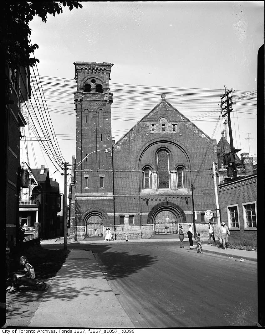
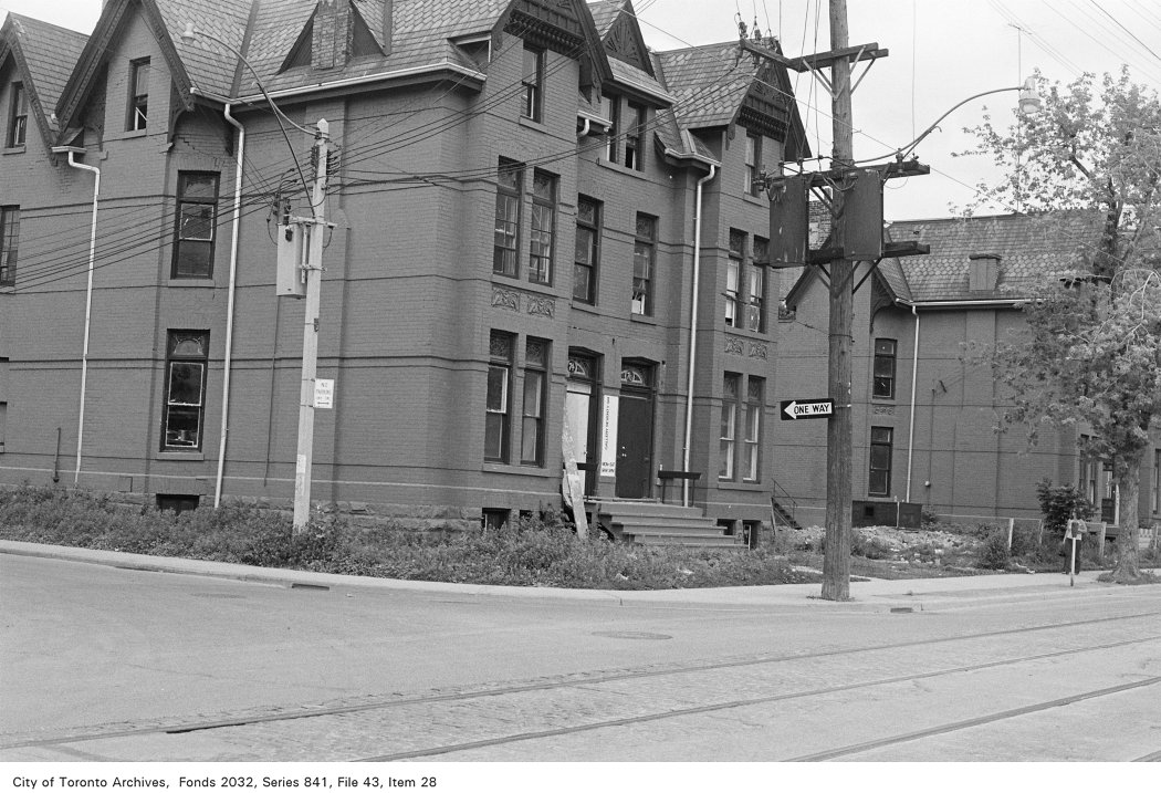
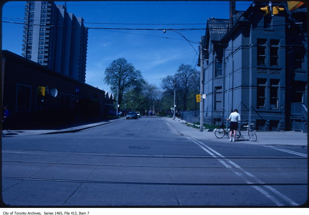
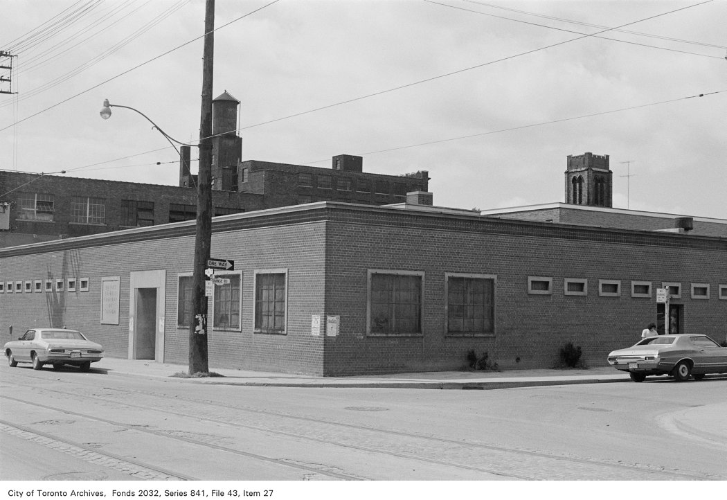
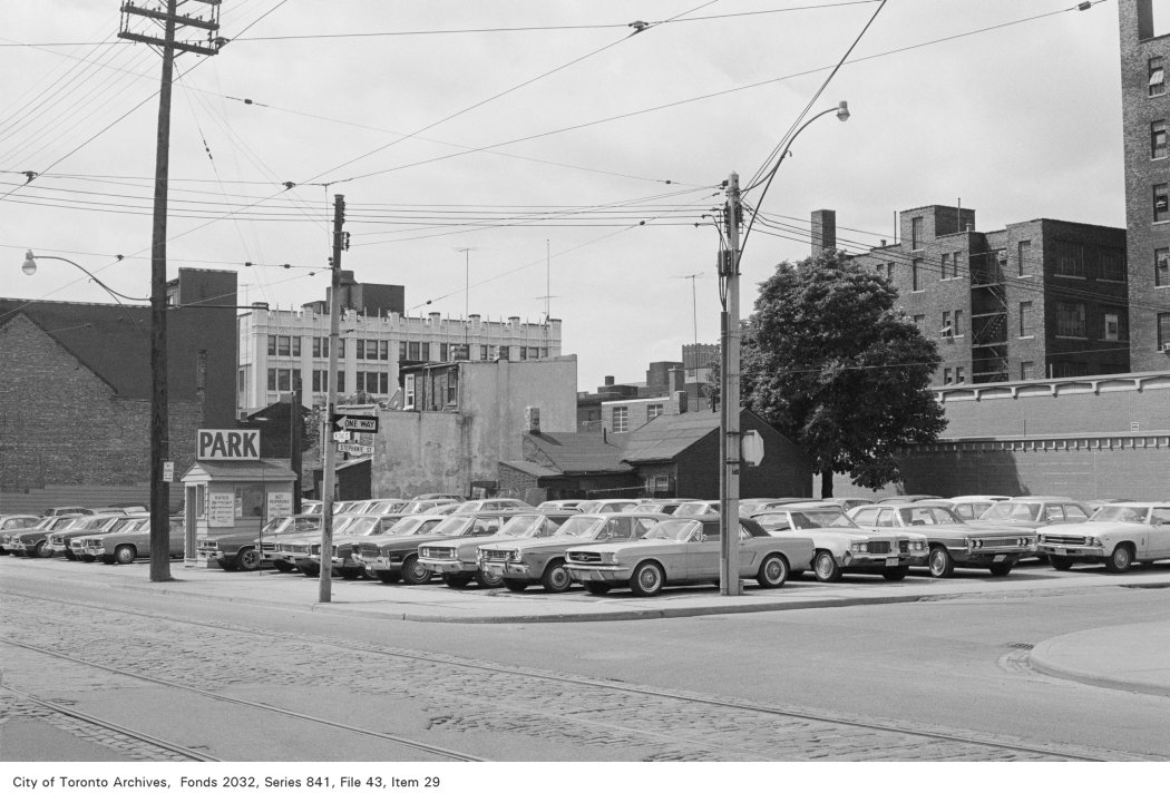
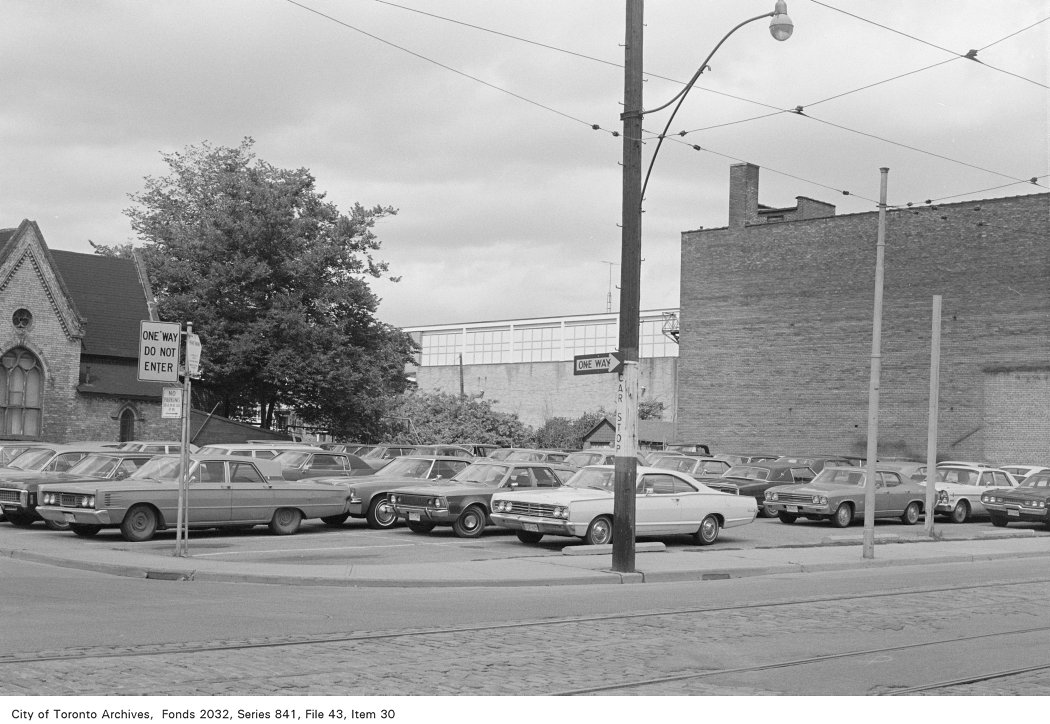
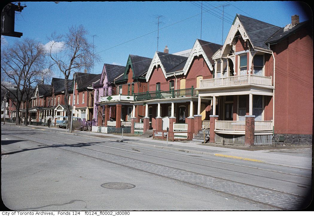
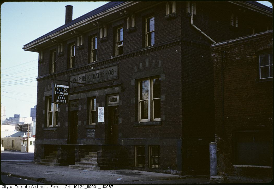
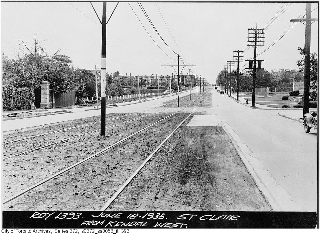
Photo locations are matched from each photo’s title against City street and address data, so some may be off. Report a wrong location