83 Montclair Ave
An address in Forest Hill South, outside TRCA flood and shoreline hazard areas, with 14 active development applications within 250 metres.
Data as of Nov 8, 2026 · Every item lists its source
- Outside TRCA flood and shoreline hazard areas.
- 14 active development applications and 1 Committee of Adjustment application within 250 m.
01The building
Recent permits (2)
- Demolition · Closed · Aug 15, 2023
Demolish single-family residential unit and associated garage in preparation for a new 18 & 19 storey building and underground parking garage see: 22 201613 BLD 00 NB. · Permit 22 225390 DEM - Walk-Out Stair · Cancelled · Jun 6, 2007
To construct a basement walkout at the rear · Permit 07 228505 BLD
02Risks and the ground
TRCA mapping is for screening, not site-specific decisions. Lead results are voluntary samples from homes in the postal area, not this address.
03What’s changing nearby
- 11 Thelma Ave · 144 m · Site Plan · Under ReviewSite Plan Approval for a 7-storey residential building, with 16 dwelling units, 49 vehicle parking spaces, and 10 bicylce parking spaces.File 26 202543 STE 12 SA · submitted Jul 15, 2026 · City record
- 23 Thelma Ave · 150 m · Site Plan · Under ReviewSite Plan Approval for a 7-storey residential building, with 16 dwelling units, 49 vehicle parking spaces, and 10 bicylce parking spaces.File 26 202543 STE 12 SA · submitted Jul 15, 2026 · City record
- 3398 Spadina Rd · 153 m · Official Plan / Rezoning · Council ApprovedA 6-storey mixed use building containing retail units at ground level and 33 residential units above, approved by the Ontario Land Tribunal on May 10, 2018.The original proposal was to construct a 9-storey mixed use building containing 46…File 15 149456 STE 21 OZ · submitted Apr 30, 2015
- 45 Thelma Ave · 157 m · Site Plan · Under ReviewSite Plan Approval for a 7-storey residential building, with 16 dwelling units, 49 vehicle parking spaces, and 10 bicylce parking spaces.File 26 202543 STE 12 SA · submitted Jul 15, 2026 · City record
- 57 Thelma Ave · 161 m · Site Plan · Under ReviewSite Plan Approval for a 7-storey residential building, with 16 dwelling units, 49 vehicle parking spaces, and 10 bicylce parking spaces.File 26 202543 STE 12 SA · submitted Jul 15, 2026 · City record
- 6396 Spadina Rd · 164 m · Official Plan / Rezoning · Council ApprovedA 6-storey mixed use building containing retail units at ground level and 33 residential units above, approved by the Ontario Land Tribunal on May 10, 2018.The original proposal was to construct a 9-storey mixed use building containing 46…File 15 149456 STE 21 OZ · submitted Apr 30, 2015
- 79 Thelma Ave · 165 m · Site Plan · Under ReviewSite Plan Approval for a 7-storey residential building, with 16 dwelling units, 49 vehicle parking spaces, and 10 bicylce parking spaces.File 26 202543 STE 12 SA · submitted Jul 15, 2026 · City record
- 811 Thelma Ave · 169 m · Site Plan · Under ReviewSite Plan Approval for a 7-storey residential building, with 16 dwelling units, 49 vehicle parking spaces, and 10 bicylce parking spaces.File 26 202543 STE 12 SA · submitted Jul 15, 2026 · City record
- 9394 Spadina Rd · 171 m · Official Plan / Rezoning · Council ApprovedA 6-storey mixed use building containing retail units at ground level and 33 residential units above, approved by the Ontario Land Tribunal on May 10, 2018.The original proposal was to construct a 9-storey mixed use building containing 46…File 15 149456 STE 21 OZ · submitted Apr 30, 2015
- 1013 Thelma Ave · 172 m · Site Plan · Under ReviewSite Plan Approval for a 7-storey residential building, with 16 dwelling units, 49 vehicle parking spaces, and 10 bicylce parking spaces.File 26 202543 STE 12 SA · submitted Jul 15, 2026 · City record
- 1115 Thelma Ave · 176 m · Site Plan · Under ReviewSite Plan Approval for a 7-storey residential building, with 16 dwelling units, 49 vehicle parking spaces, and 10 bicylce parking spaces.File 26 202543 STE 12 SA · submitted Jul 15, 2026 · City record
- 12390 Spadina Rd · 179 m · Official Plan / Rezoning · Council ApprovedA 6-storey mixed use building containing retail units at ground level and 33 residential units above, approved by the Ontario Land Tribunal on May 10, 2018.The original proposal was to construct a 9-storey mixed use building containing 46…File 15 149456 STE 21 OZ · submitted Apr 30, 2015
Development Applications; Committee of Adjustment Applications · 2 registered short-term rentals within 250 m.
04City services
05Quick answers about 83 Montclair Ave
Is 83 Montclair Ave in a flood plain?
No. It is outside TRCA's mapped flood and shoreline hazard areas. Source: TRCA Regulation mapping 2025.
What is being built near 83 Montclair Ave?
14 active development applications within 250 metres, the closest at 1 Thelma Ave (144 m). Source: Development Applications.
When is garbage day at 83 Montclair Ave?
Collection calendar Tuesday 2. Next garbage pickup: Nov 10, 2026. Source: Solid Waste Collection Schedule.
Answers are generated from the data on this page and update when the data changes.
06From the archives
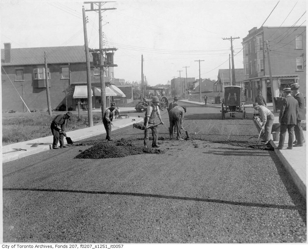
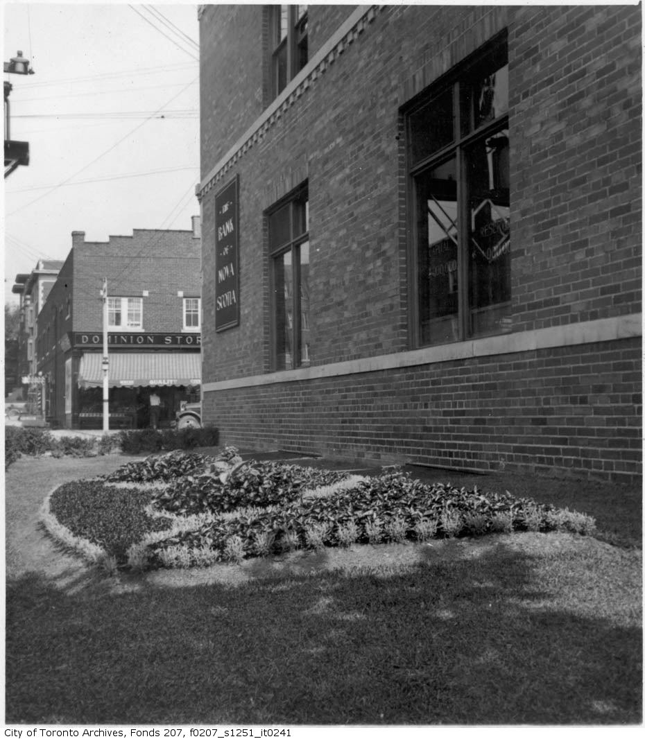
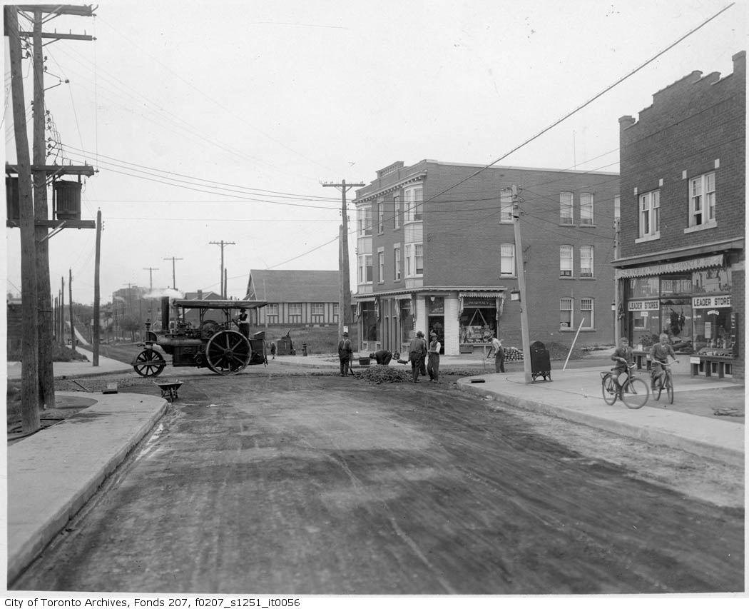
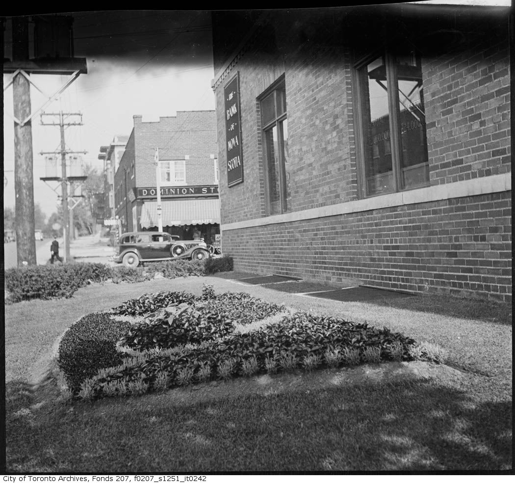
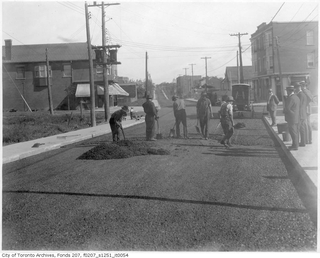
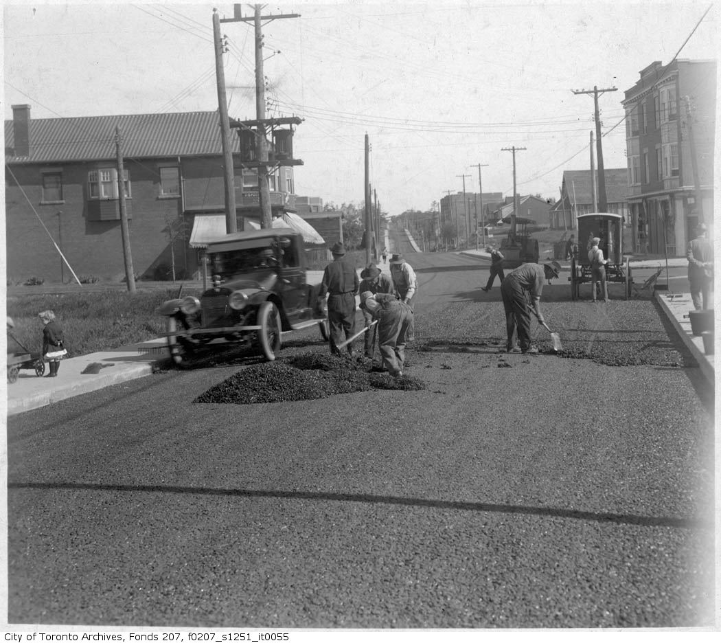
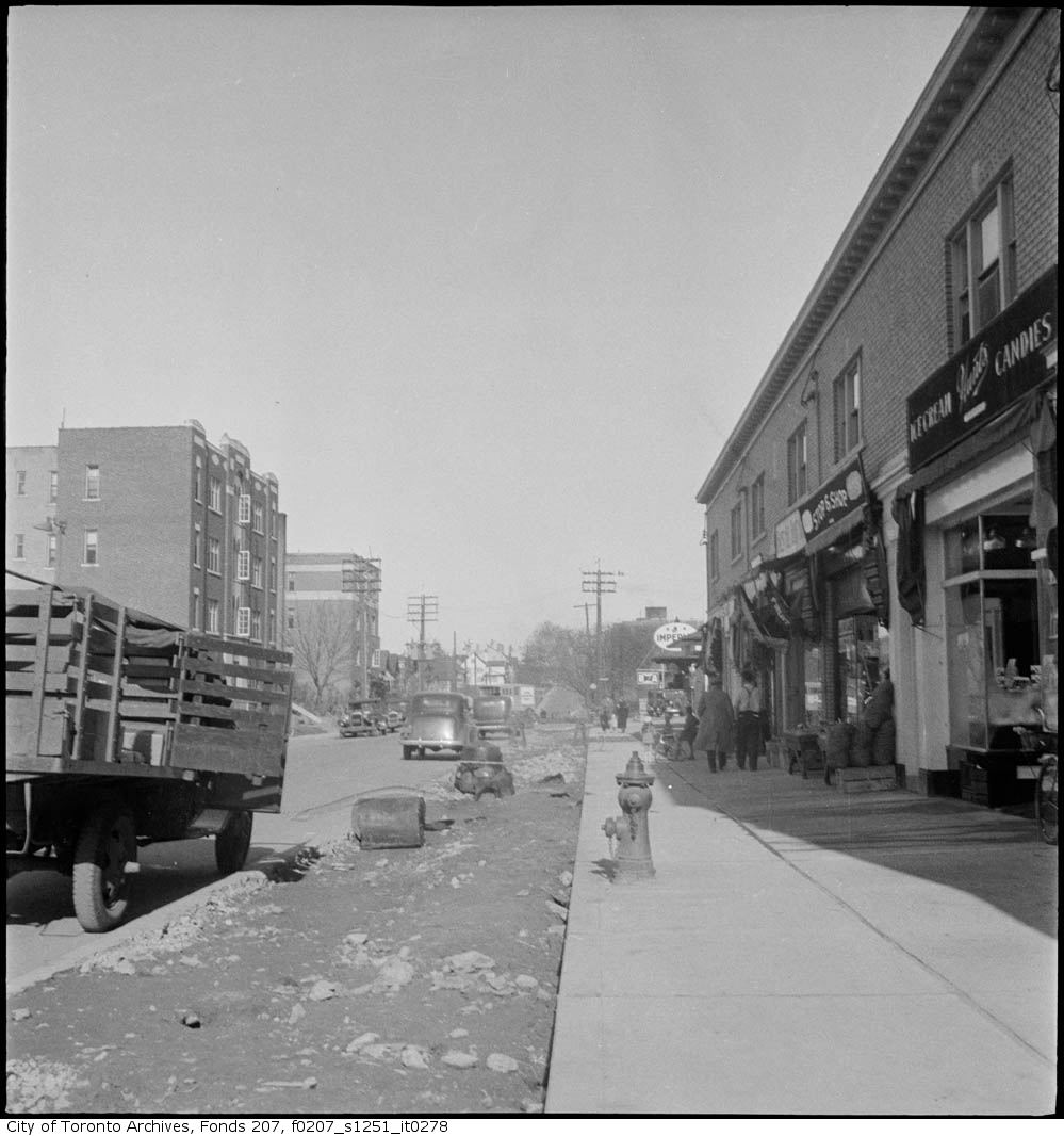
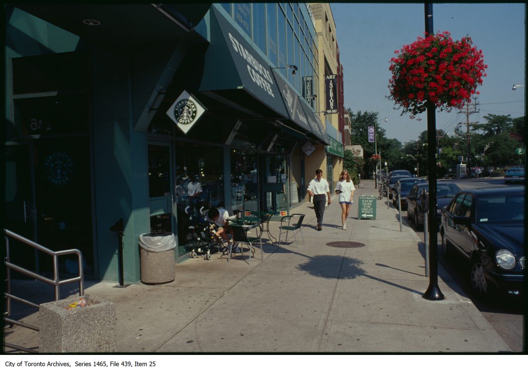

Photo locations are matched from each photo’s title against City street and address data, so some may be off. Report a wrong location