86 John St
A property on the Heritage Register (Part V), outside TRCA flood and shoreline hazard areas, with 15 active development applications within 250 metres.
Data as of Nov 7, 2026 · Every item lists its source
- On the Heritage Register (Part V).
- Outside TRCA flood and shoreline hazard areas.
- 15 active development applications and 3 Committee of Adjustment applications within 250 m.
01The building
Recent permits (2)
- Shoring · Permit Issued · May 17, 2018
Proposed shoring & excavation for an archaeological investigation at this site as per SPA requirement, for a future development on a 8 storey non-residential building at this site. · Permit 17 267930 BLD - Demolition · Closed · Aug 31, 2016
Applicant proposed to demolish the existing 3 storey mix use building. · Permit 16 189306 DEM
02Risks and the ground
TRCA mapping is for screening, not site-specific decisions. Lead results are voluntary samples from homes in the postal area, not this address.
03What’s changing nearby
- 1241 Richmond St W · 22 m · Site Plan · Under ReviewSite Plan application to support the Council approved redevelopment of the site with a 41-storey mixed-use building with a total height of 132.5 metres. The application includes commercial uses within the ground floor and 479 residential…File 21 171254 STE 10 SA · submitted Jun 16, 2021 · City record
- 2241 Richmond St W · 22 m · Condominium · Under Review*** Draft Plan of Condominium for 470 units.File 21 235019 STE 10 CD · submitted Nov 6, 2021 · City record
- 3241 Richmond St W · 22 m · Official Plan / Rezoning · Council ApprovedProposed Zoning By-law amendment re-submission to allow the redevelopment of the site with a 40-storey mixed-use building with a total height of 132.5 metres. The application proposes commercial uses within the ground floor and 459…File 21 171253 STE 10 OZ · submitted Jun 16, 2021 · City record
- 4133 John St · 33 m · Site Plan · Under ReviewSite Plan application to support the Council approved redevelopment of the site with a 41-storey mixed-use building with a total height of 132.5 metres. The application includes commercial uses within the ground floor and 479 residential…File 21 171254 STE 10 SA · submitted Jun 16, 2021 · City record
- 5133 John St · 33 m · Official Plan / Rezoning · Council ApprovedProposed Zoning By-law amendment re-submission to allow the redevelopment of the site with a 40-storey mixed-use building with a total height of 132.5 metres. The application proposes commercial uses within the ground floor and 459…File 21 171253 STE 10 OZ · submitted Jun 16, 2021 · City record
- 6133 John St · 33 m · Condominium · Under Review*** Draft Plan of Condominium for 470 units.File 21 235019 STE 10 CD · submitted Nov 6, 2021 · City record
- 7259 Richmond St W · 55 m · Official Plan / Rezoning · Appeal ReceivedZoning By-law Amendment application to permit a mixed-use development including two buildings, 37 and 42 storeys in height (131.0 metres and 145.2 metres, respectively, including mechanical penthouses). Proposed uses include two levels of…File 19 144266 STE 10 OZ · submitted Apr 24, 2019 · City record
- 8259 Richmond St W · 55 m · Subdivision · Under ReviewFile 21 184321 STE 10 SB · submitted Jul 14, 2021 · City record
- 9132 John St · 69 m · Subdivision · Under ReviewFile 21 184321 STE 10 SB · submitted Jul 14, 2021 · City record
- 10132 John St · 69 m · Official Plan / Rezoning · Appeal ReceivedZoning By-law Amendment application to permit a mixed-use development including two buildings, 37 and 42 storeys in height (131.0 metres and 145.2 metres, respectively, including mechanical penthouses). Proposed uses include two levels of…File 19 144266 STE 10 OZ · submitted Apr 24, 2019 · City record
- 11142 John St · 71 m · Official Plan / Rezoning · Appeal ReceivedZoning By-law Amendment application to permit a mixed-use development including two buildings, 37 and 42 storeys in height (131.0 metres and 145.2 metres, respectively, including mechanical penthouses). Proposed uses include two levels of…File 19 144266 STE 10 OZ · submitted Apr 24, 2019 · City record
- 12142 John St · 71 m · Subdivision · Under ReviewFile 21 184321 STE 10 SB · submitted Jul 14, 2021 · City record
Development Applications; Committee of Adjustment Applications · 234 registered short-term rentals within 250 m.
04City services
05Quick answers about 86 John St
Is 86 John St in a flood plain?
No. It is outside TRCA's mapped flood and shoreline hazard areas. Source: TRCA Regulation mapping 2025.
What is being built near 86 John St?
15 active development applications within 250 metres, the closest at 241 Richmond St W (22 m). Source: Development Applications.
Answers are generated from the data on this page and update when the data changes.
06From the archives
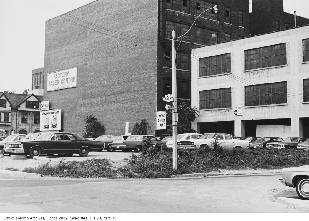
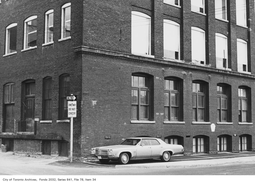
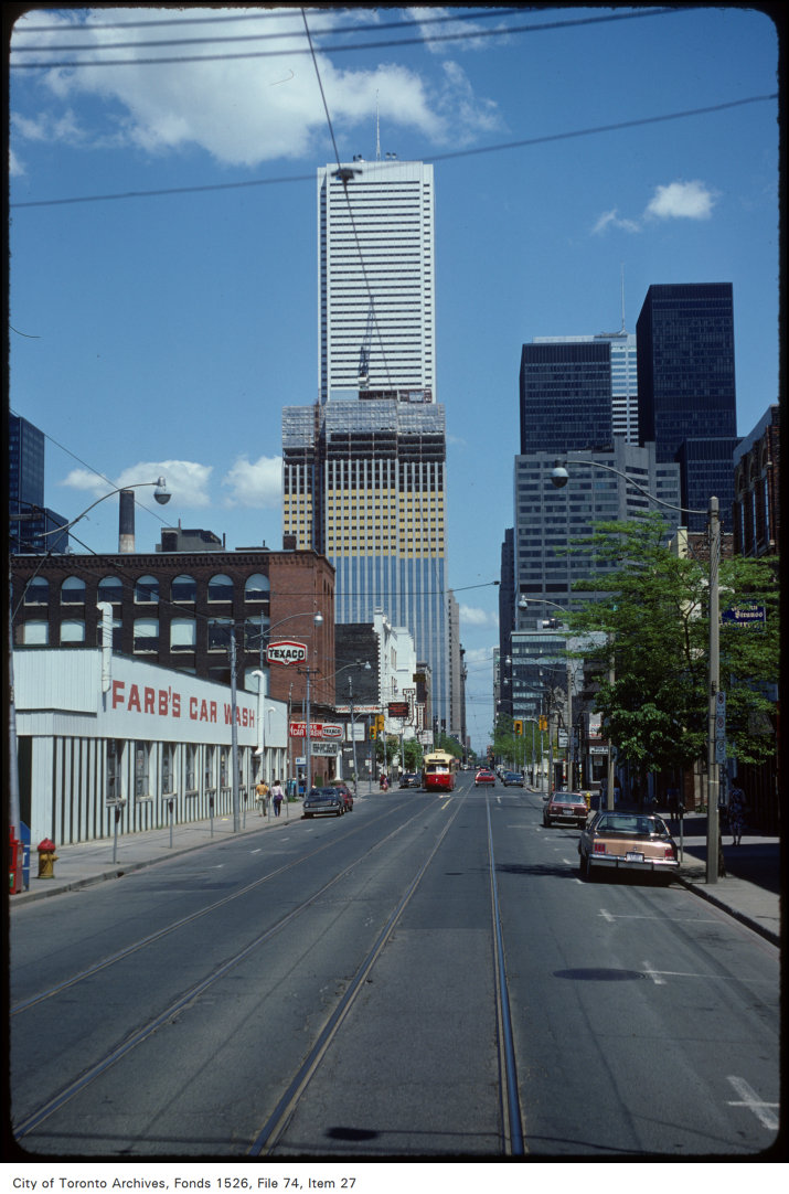
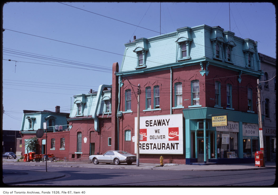
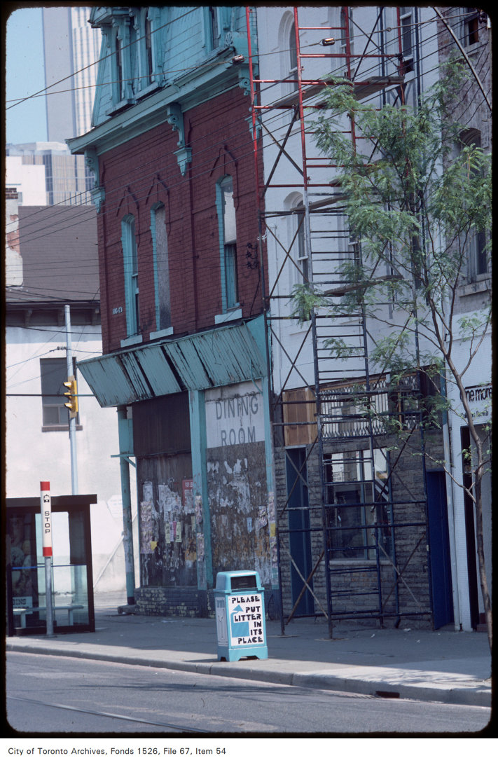
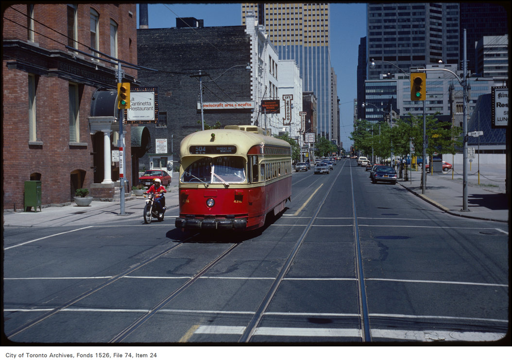
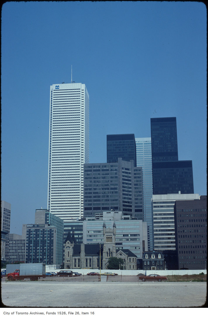
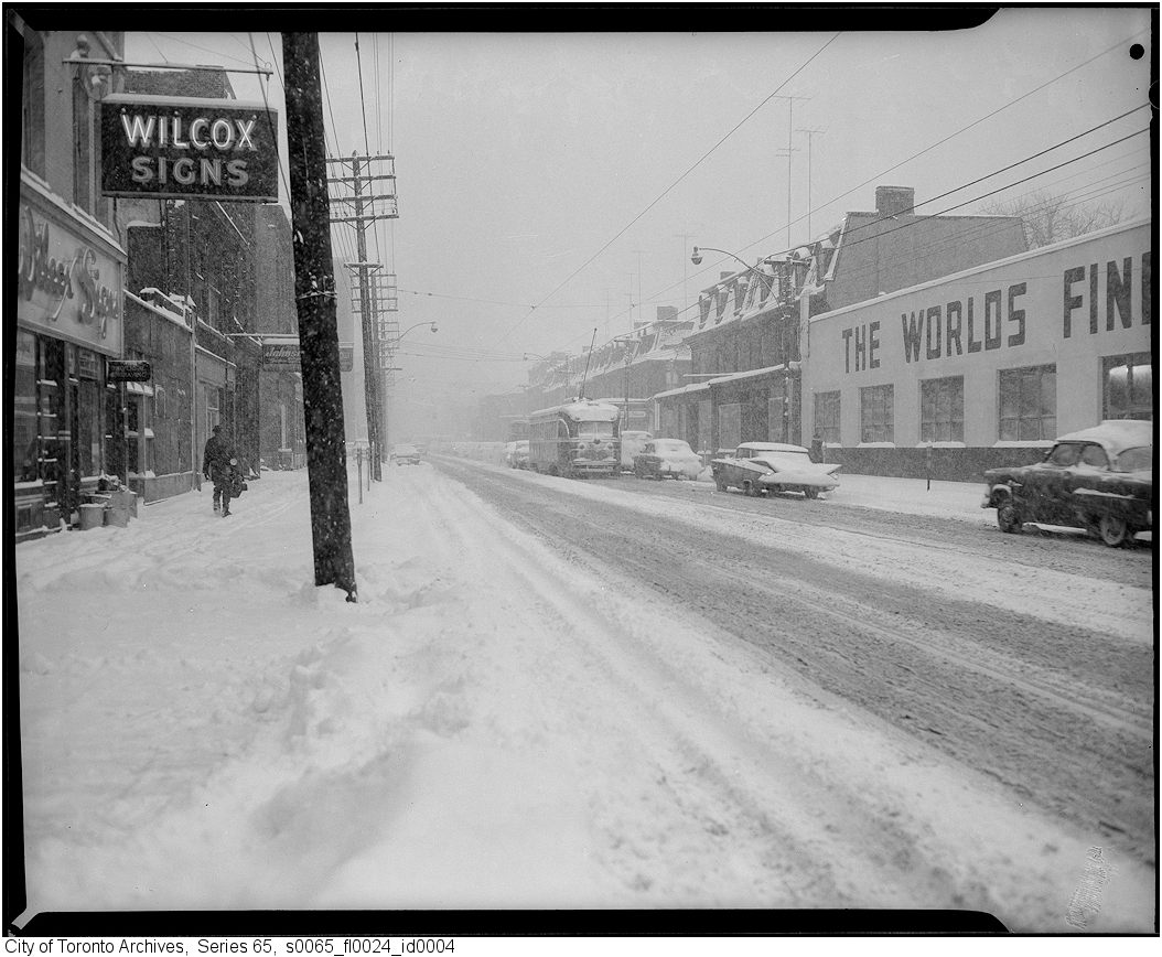
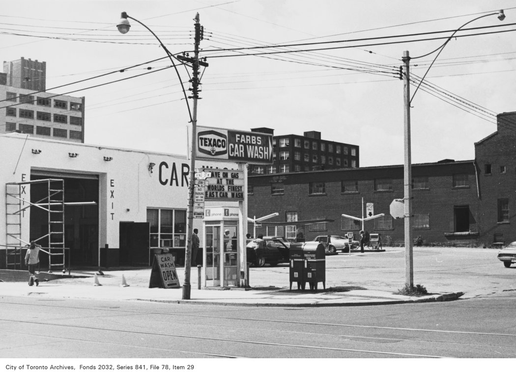
Photo locations are matched from each photo’s title against City street and address data, so some may be off. Report a wrong location