Skip to content
My Address in Toronto
Address report

88 Colgate Ave

88 Colgate Ave is in South Riverdale. It's outside TRCA flood hazard areas and there is 1 planning application nearby (approved).

Data as of Nov 8, 2026 · Every item lists its source

Follow this address
Key findings
  • No fire code violations in open inspections.
  • Outside TRCA flood hazard areas.
  • 1 planning application within 250 m: approved.
Building permits0in the last 5 years
Applications nearby1active, within 250 m
Flood hazardOutsideTRCA mapping
Next collectionNov 12recycling and green bin
Dundas StQueen StCarlaw AveWardell StWest AveCummings StTiverton AveLogan AveVerral AveBusy StColgate AvePaisley AveMorse StNatalie PlBooth AveWinnifred AveBoston AveHeward AvePape AveBlong AveLouvain AveBrighton Ave1Map data: City of Toronto (Toronto Centreline)Dundas StQueen StCarlaw AveLogan AveVerral AveColgate AvePaisley AveMorse StNatalie PlBusy StBooth AveBoston AveHeward AvePape Ave1Map data: City of Toronto (Toronto Centreline)
The red dot is 88 Colgate Ave. The circle shows 250 metres, about a 3-minute walk. Numbers match the applications in “What’s changing nearby”.

03The building

ItemFindingPrecisionSource
Fire code inspectionsNo violations in open inspectionsThis addressResidential Fire Inspection Results · last opened Sep 17, 2026
Building orders and noticesNone on recordThis addressBuilding Construction/Demolition Violations
Building permits, last 5 years0 permitsThis addressBuilding Permits · 0 on record

The City has no building permits on record for this address. About 9 in 10 Toronto addresses also had none in the last 5 years.

Short-term rentalNot registeredThis addressShort Term Rentals Registration
Heritage statusNot on the Heritage RegisterThis addressHeritage Register

It isn't listed or designated on the City's Heritage Register.

04Risks and the ground

ItemFindingPrecisionSource
River flood hazardOutsideThis addressTRCA Regulation mapping 2025
Lake shoreline hazardOutsideThis addressTRCA Regulation mapping 2025
TRCA regulated areaOutsideThis addressTRCA Regulation mapping 2025

TRCA's maps show this address is outside the areas that could flood from rivers in a major storm (TRCA plans for a storm like Hurricane Hazel in 1954) and outside lake shoreline hazards. Basement flooding from overloaded sewers can still happen anywhere in the city.

Lead in tap-water tests, postal area M4M2.5% of tests above Ontario's limitYour area · M4MNon Regulated Lead Sample · 405 tests, Jan 8, 2014 to Oct 5, 2026

In postal area M4M, 10 of 405 home tap-water samples (2.5%) tested above Ontario's limit for lead (10 micrograms per litre). Across Toronto, 2.0% of samples did, so M4M is about the same as the city overall. Health Canada recommends a stricter limit of 5 micrograms per litre: 23 samples here (5.7%) were above it. These are voluntary tests, mostly from older homes, so they don't tell you about this house. Lead comes from old pipes and plumbing, not the City's treatment plants. If your home was built before the mid-1950s, you can get a free test kit by calling 311.

TRCA mapping is for screening, not site-specific decisions. Lead results are voluntary samples from homes in the postal area, not this address.

01What’s changing nearby

1 active planning application within 250 m (about a 3-minute walk): approved. That's about typical for Toronto (the typical address has 1).

  1. 1
    29 Boston Ave · 172 m away
    Committee of Adjustment · Minor variance: permission to bend a zoning rule, such as height, size or setbacks

    The Committee of Adjustment approved it on Nov 22, 2023.

    To construct a one-storey ancillary building (detached garage) in the rear yard, abutting the laneway.
    File A0848/23TEY · submitted Sep 27, 2023
Short-term rentals nearby15 registered homesWithin 250 mShort Term Rentals Registration

15 homes within 250 m are registered with the City as short-term rentals (stays of less than 28 days, like Airbnb). That's more than at 9 in 10 Toronto addresses.

Development Applications; Committee of Adjustment Applications; Short Term Rentals Registration.

02City services

ItemFindingPrecisionSource
Garbage and recyclingThursdaysThis addressSolid Waste Collection Schedule

Next: November 12: recycling and green bin. November 19: garbage, green bin and yard waste. Green bin goes out every week; garbage and recycling alternate.

City councillorPaula FletcherWard 14councillor_fletcher@toronto.ca · 416-392-4060

05Quick answers about 88 Colgate Ave

Is 88 Colgate Ave in a flood plain?

No. TRCA maps it outside river flood and lake shoreline hazard areas. Basement flooding from sewers can still happen anywhere. Source: TRCA Regulation mapping 2025.

Does 88 Colgate Ave have open fire code violations?

No. The City's fire inspection records show no violations in open inspections. Source: Residential Fire Inspection Results.

What is being built near 88 Colgate Ave?

There is 1 active planning application within 250 metres (approved). The closest is at 29 Boston Ave, 172 m away. Source: Development Applications; Committee of Adjustment Applications.

Is 88 Colgate Ave a heritage property?

No. It isn't listed or designated on the City's Heritage Register. Source: Heritage Register.

When is garbage day at 88 Colgate Ave?

Collection is on Thursdays. Green bin goes out every week; garbage and recycling alternate weeks. The next garbage pickup is Nov 19, 2026. Source: Solid Waste Collection Schedule.

Answers are generated from the data on this page and update when the data changes.

06From the archives
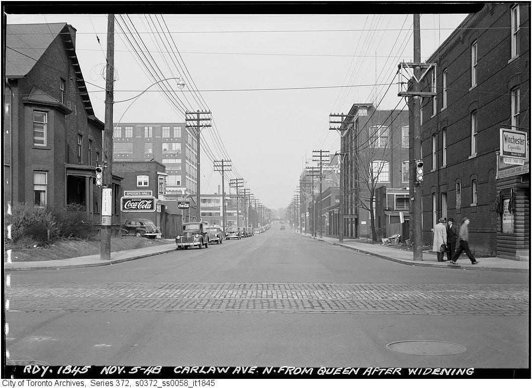
Carlaw Avenue after widening north from Queen
1948 · 163 m awayCarlaw Avenue after widening north from QueenCity of Toronto Archives, Fonds 200, Series 372, Subseries 58, Item 1845
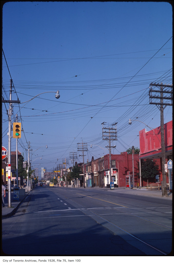
View of Queen Street East, looking west at Carlaw Street
1981 · 163 m awayView of Queen Street East, looking west at Carlaw StreetCity of Toronto Archives, Fonds 1526, File 75, Item 100
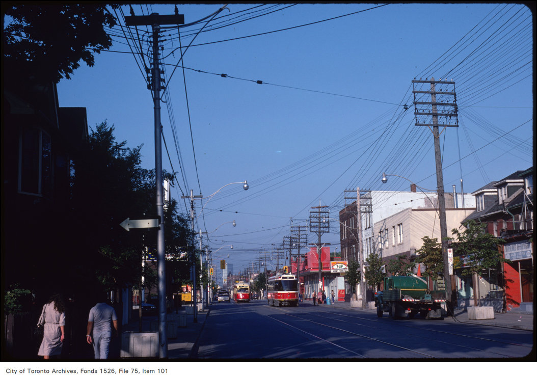
View of Queen Street East at Carlaw Avenue
1983 · 163 m awayView of Queen Street East at Carlaw AvenueCity of Toronto Archives, Fonds 1526, File 75, Item 101
Queen St. E. Presbyterian Church, Queen St. E., s.e. corner Carlaw Ave.
1880 · 163 m awayQueen St. E. Presbyterian Church, Queen St. E., s.e. corner Carlaw Ave. Courtesy of Toronto Public Library
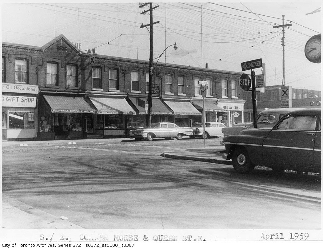
Southeast corner Morse and Queen Street
1959 · 172 m awaySoutheast corner Morse and Queen StreetCity of Toronto Archives, Fonds 200, Series 372, Subseries 100, Item 387
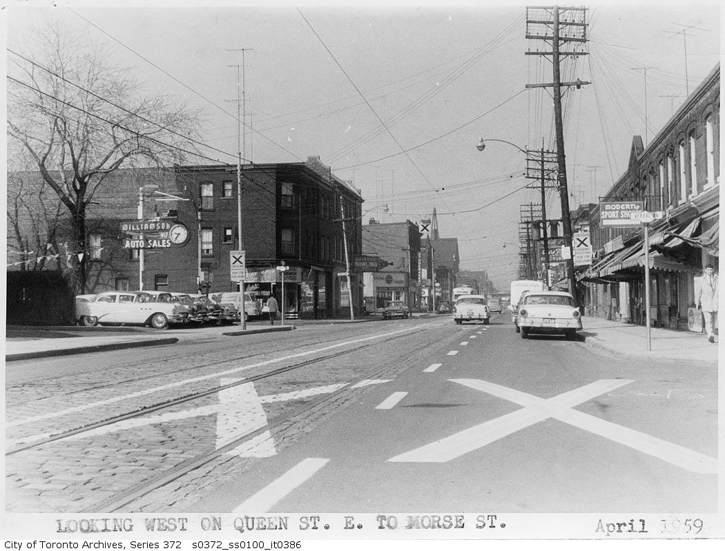
Queen Street East looking west to Morse Street
1959 · 172 m awayQueen Street East looking west to Morse StreetCity of Toronto Archives, Fonds 200, Series 372, Subseries 100, Item 386
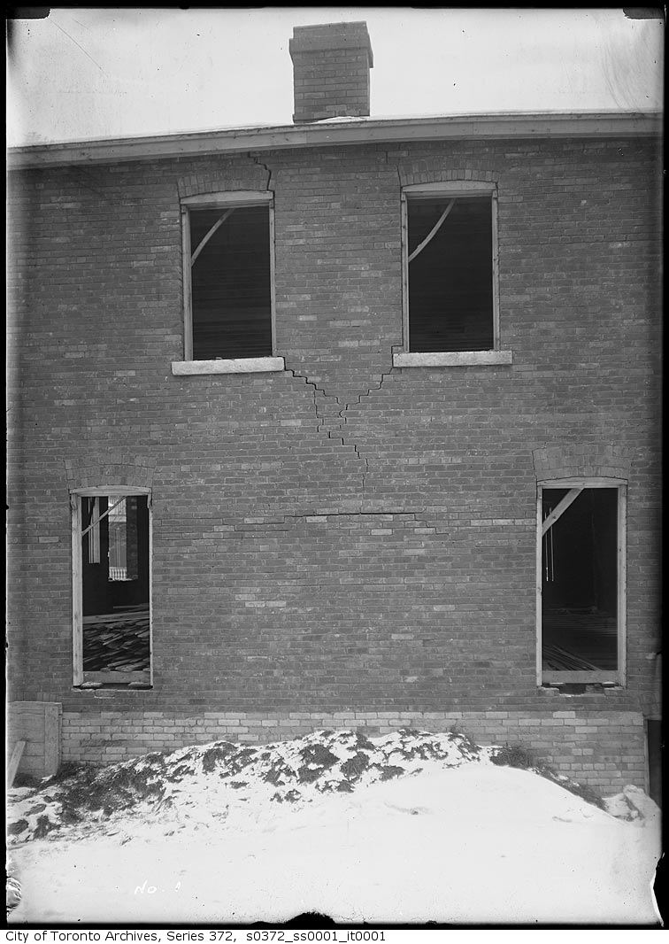
Heward Avenue south of Queen, west side — Cracks in brickwork of house
1912 · 210 m awayHeward Avenue south of Queen, west side — Cracks in brickwork of houseCity of Toronto Archives, Fonds 200, Series 372, Subseries 1, Item 1
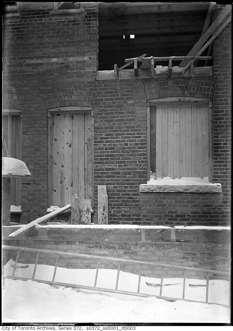
Heward Avenue south of Queen, west side — Cracks in brickwork of house
1912 · 210 m awayHeward Avenue south of Queen, west side — Cracks in brickwork of houseCity of Toronto Archives, Fonds 200, Series 372, Subseries 1, Item 3
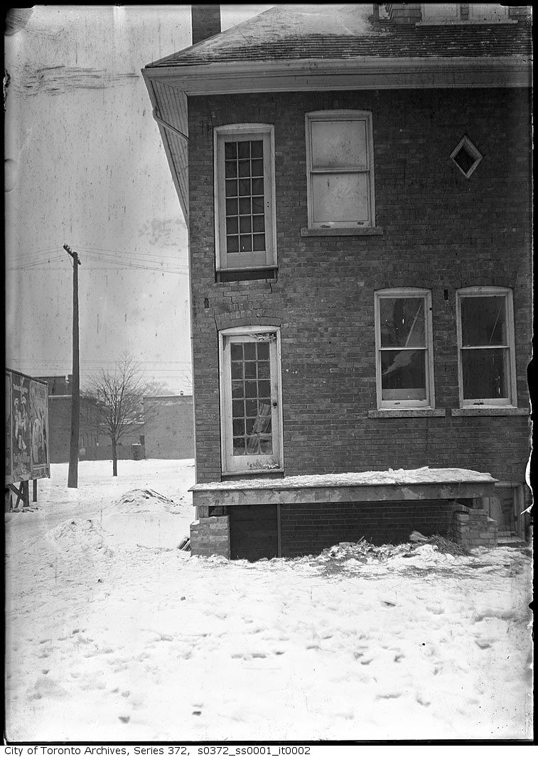
Heward Avenue south of Queen, west side — Cracks in brickwork of house
1912 · 210 m awayHeward Avenue south of Queen, west side — Cracks in brickwork of houseCity of Toronto Archives, Fonds 200, Series 372, Subseries 1, Item 2

Photo locations are matched from each photo’s title against City street and address data, so some may be off. Report a wrong location

88 Colgate Ave, Toronto M4M: permits, flood risk and what's planned nearby · My Address in Toronto