890 Queen St E
A property on the Heritage Register (Listed), outside TRCA flood and shoreline hazard areas, with 2 active development applications within 250 metres.
Data as of Nov 7, 2026 · Every item lists its source
- On the Heritage Register (Listed).
- Outside TRCA flood and shoreline hazard areas.
- 2 active development applications and 2 Committee of Adjustment applications within 250 m.
01The building
Recent permits (5)
- Other(BA) · Cancelled · Sep 18, 2023
Rev 01 - All interior and structure has been changedNew 2nd floor rear addition; new 4-storey addition above existing 2-storey mixed-use building. three new dwelling units added (total of 4 dwelling… · Permit 19 184853 BLD - Building Permit Related(MS) · Cancelled · Sep 18, 2023
Rev 01 - All interior and structure has been changedHVAC - New 2nd floor rear addition; new 4-storey addition above existing 2-storey mixed-use building · Permit 19 184853 HVA - Other(BA) · Closed · Feb 25, 2022
New 2nd floor rear addition; new 4-storey addition above existing 2-storey mixed-use building. three new dwelling units added (total of 4 dwelling units) · Permit 19 184853 BLD - Building Permit Related(MS) · Closed · Feb 25, 2022
HVAC - New 2nd floor rear addition; new 4-storey addition above existing 2-storey mixed-use building · Permit 19 184853 HVA - Building Permit Related(PS) · Closed · Feb 25, 2022
Plumbing - New 2nd floor rear addition; new 4-storey addition above existing 2-storey mixed-use building · Permit 19 184853 PLB
02Risks and the ground
TRCA mapping is for screening, not site-specific decisions. Lead results are voluntary samples from homes in the postal area, not this address.
03What’s changing nearby
- 115 Busy St · 161 m · Site Plan · NOAC IssuedSite Plan Control application associated with Zoning By-law amendment to allow the redevelopment of a parking lot with a 6-unit townhouse block(1828.0 sq. m.). The future townhouse lots will be parcels of tied land to a common element…File 18 104543 STE 30 SA · submitted Jan 12, 2018 · City record
- 2263 Logan Ave · 169 m · Site Plan · NOAC IssuedSite Plan Control application associated with Zoning By-law amendment to allow the redevelopment of a parking lot with a 6-unit townhouse block(1828.0 sq. m.). The future townhouse lots will be parcels of tied land to a common element…File 18 104543 STE 30 SA · submitted Jan 12, 2018 · City record
- 375 Mc Gee St · 195 m · Committee of Adjustment · Minor variance · OMB AppealTo alter the existing 3½-storey detached dwelling containing four dwelling unts by converting it into a semi-detached dwelling containing three dwelling units, and by constructing: a new front staircase leading to the first floor and…File A0295/16TEY · submitted Mar 9, 2016
- 475 Mc Gee St · 195 m · Committee of Adjustment · Minor variance · OMB AppealTo construct a new three-storey semi-detached single family dwelling on the newly severed lot.File A0294/16TEY · submitted Mar 9, 2016
Development Applications; Committee of Adjustment Applications · 11 registered short-term rentals within 250 m.
04City services
05Quick answers about 890 Queen St E
Is 890 Queen St E in a flood plain?
No. It is outside TRCA's mapped flood and shoreline hazard areas. Source: TRCA Regulation mapping 2025.
What is being built near 890 Queen St E?
2 active development applications within 250 metres, the closest at 15 Busy St (161 m). Source: Development Applications.
When is garbage day at 890 Queen St E?
Collection calendar Thursday 1. Next garbage pickup: Nov 19, 2026. Source: Solid Waste Collection Schedule.
Answers are generated from the data on this page and update when the data changes.
06From the archives
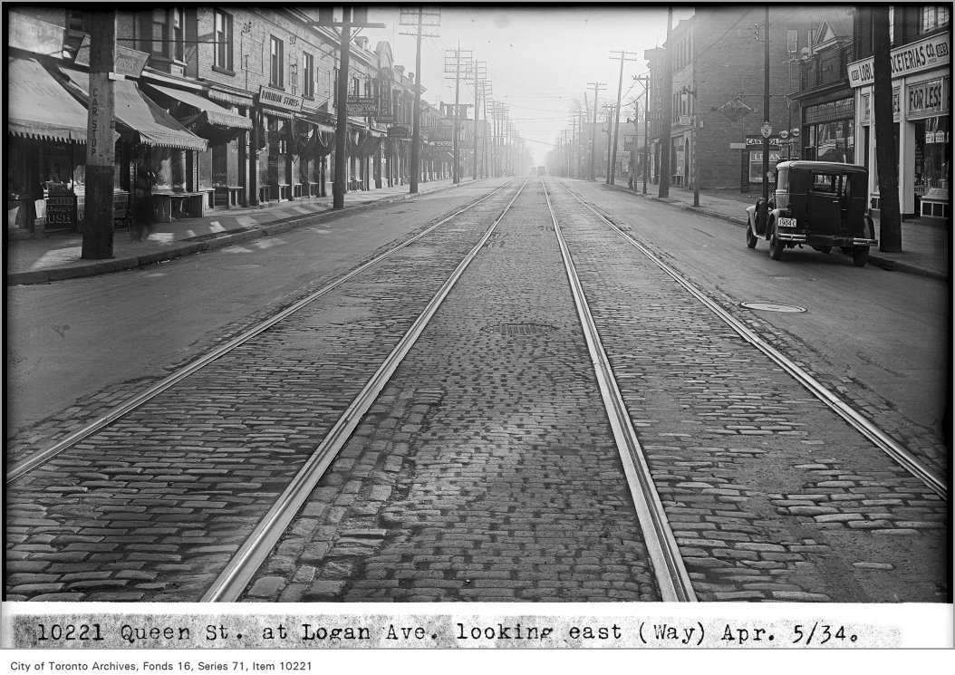
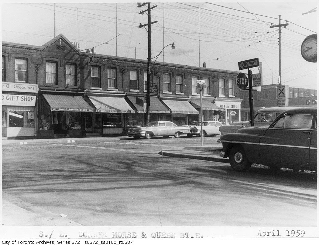
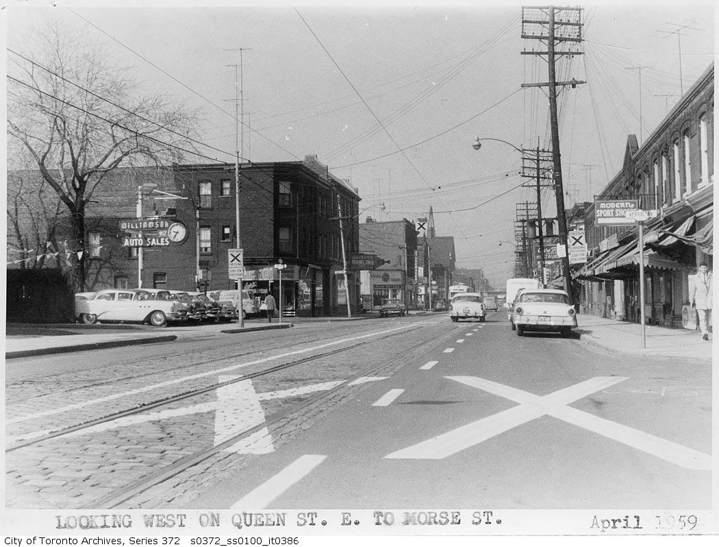
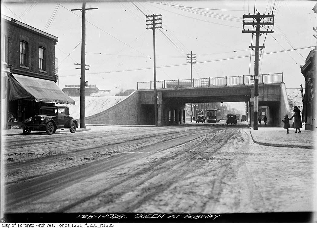
Photo locations are matched from each photo’s title against City street and address data, so some may be off. Report a wrong location