909 Queen St E
A property on the Heritage Register (Listed), outside TRCA flood and shoreline hazard areas, with 3 active development applications within 250 metres.
Data as of Nov 8, 2026 · Every item lists its source
- On the Heritage Register (Listed).
- Outside TRCA flood and shoreline hazard areas.
- 3 active development applications and 0 Committee of Adjustment applications within 250 m.
01The building
Recent permits (8)
- Interior Alterations · Permit Issued · Apr 15, 2026
Interior alteration on second floor of a 3-storey building; including demolition of interior partitions and construction of new partitions. · Permit 26 112180 BLD - Building Permit Related(MS) · Permit Issued · Apr 15, 2026
HVAC - Interior alteration on second floor of a 3-storey building; including demolition of interior partitions and construction of new partitions. · Permit 26 112180 HVA - Sign Building Permit Related · Closed · May 24, 2019
To erect and display one illuminated wall sign displaying static copy located on the first storey of the notherly elevation, measuring 2.69 m by 0.42 m at a height of 3.56 m. ****GLASS MONOCLE**** · Permit 19 123880 DST - Interior Alterations · Closed · Dec 17, 2018
Proposal for interior alterations to ground floor unit including drywall partition, ceiling finishing, HVAC and plumbing for new washroom · Permit 18 255035 BLD - Building Permit Related(MS) · Closed · Dec 17, 2018
HVAC - Proposal for interior alterations to ground floor unit including drywall partition, ceiling finishing, HVAC and plumbing for new washroom · Permit 18 255035 HVA - Building Permit Related(PS) · Closed · Dec 17, 2018
Plumbing - Proposal for interior alterations to ground floor unit including drywall partition, ceiling finishing, HVAC and plumbing for new washroom · Permit 18 255035 PLB - Other(BA) · Inspection · Dec 14, 2018
Proposal to construct a ground floor front addition (relocated floor area at front) to Units 101 and 102. No change of use. · Permit 18 234314 BLD - Other(BA) · Closed · Dec 10, 2018
Proposal for structural roof reinforcement for the existing multiple unit building. · Permit 18 255765 BLD
02Risks and the ground
TRCA mapping is for screening, not site-specific decisions. Lead results are voluntary samples from homes in the postal area, not this address.
03What’s changing nearby
- 115 Busy St · 178 m · Site Plan · NOAC IssuedSite Plan Control application associated with Zoning By-law amendment to allow the redevelopment of a parking lot with a 6-unit townhouse block(1828.0 sq. m.). The future townhouse lots will be parcels of tied land to a common element…File 18 104543 STE 30 SA · submitted Jan 12, 2018 · City record
- 2263 Logan Ave · 185 m · Site Plan · NOAC IssuedSite Plan Control application associated with Zoning By-law amendment to allow the redevelopment of a parking lot with a 6-unit townhouse block(1828.0 sq. m.). The future townhouse lots will be parcels of tied land to a common element…File 18 104543 STE 30 SA · submitted Jan 12, 2018 · City record
- 3929 Queen St E · 224 m · Site Plan · NOAC IssuedApplication for Site Plan Control to permit a 9-storey mixed use building, containing 78 rental units and 195 square metres of commercial gross floor area.File 23 141092 STE 14 SA · submitted May 3, 2023 · City record
Development Applications; Committee of Adjustment Applications · 16 registered short-term rentals within 250 m.
04City services
05Quick answers about 909 Queen St E
Is 909 Queen St E in a flood plain?
No. It is outside TRCA's mapped flood and shoreline hazard areas. Source: TRCA Regulation mapping 2025.
What is being built near 909 Queen St E?
3 active development applications within 250 metres, the closest at 15 Busy St (178 m). Source: Development Applications.
When is garbage day at 909 Queen St E?
Collection calendar Thursday 1. Next garbage pickup: Nov 19, 2026. Source: Solid Waste Collection Schedule.
Answers are generated from the data on this page and update when the data changes.
06From the archives
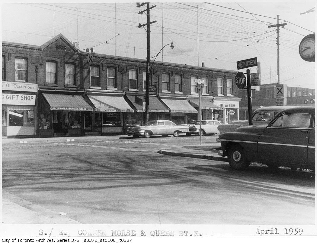
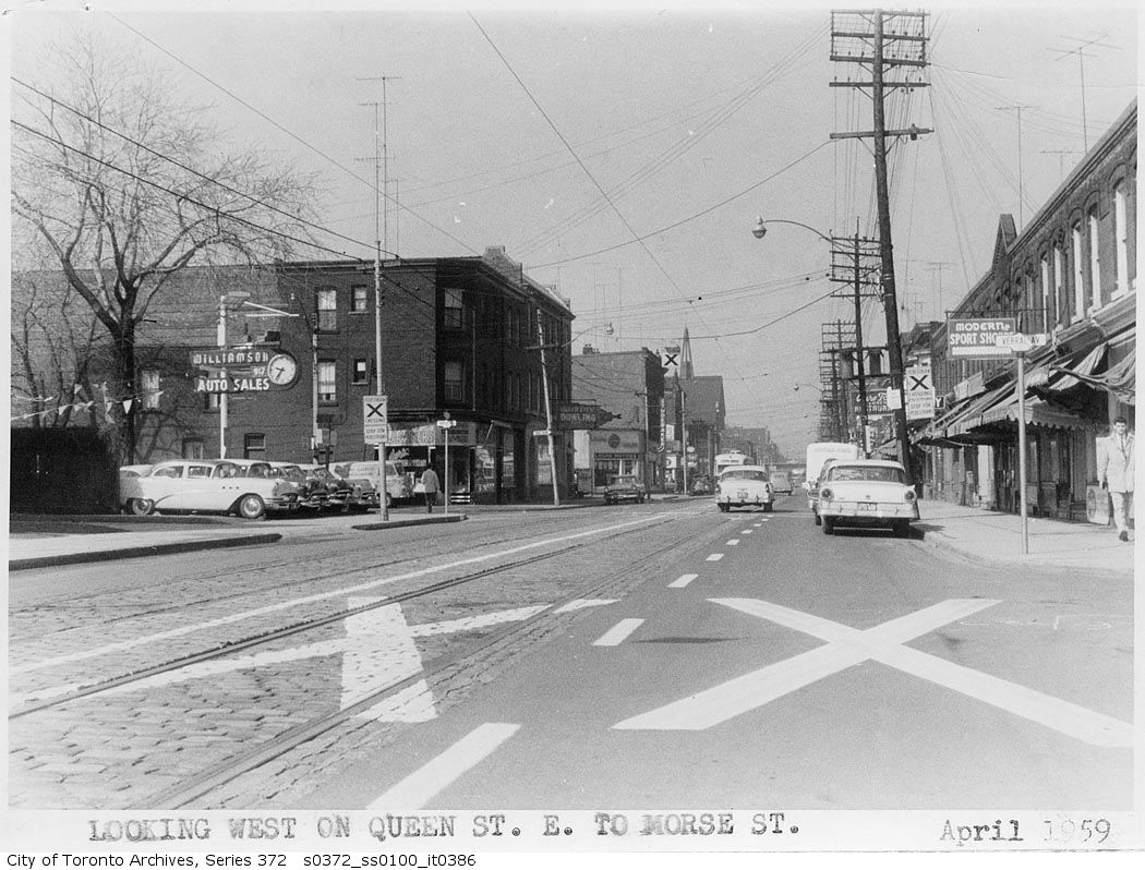
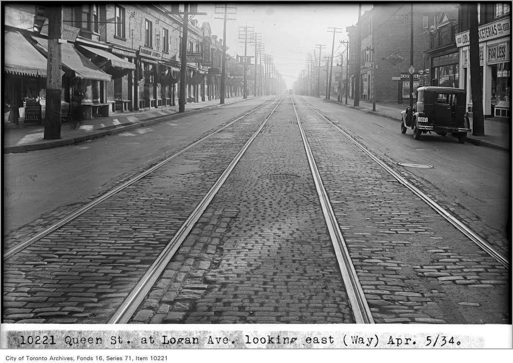
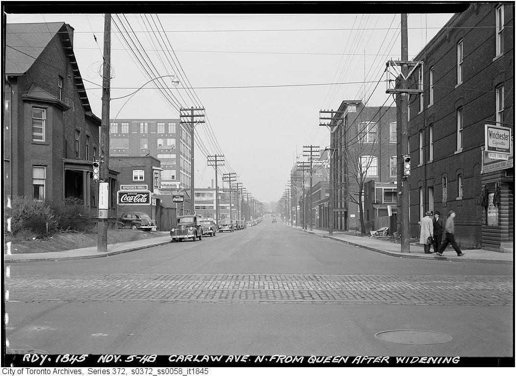
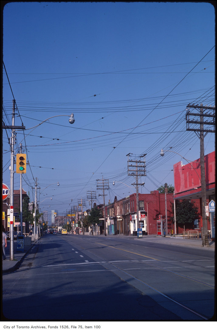
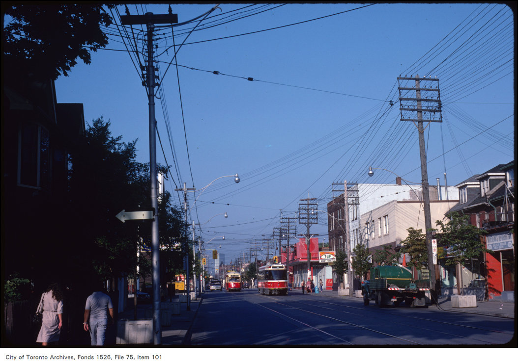

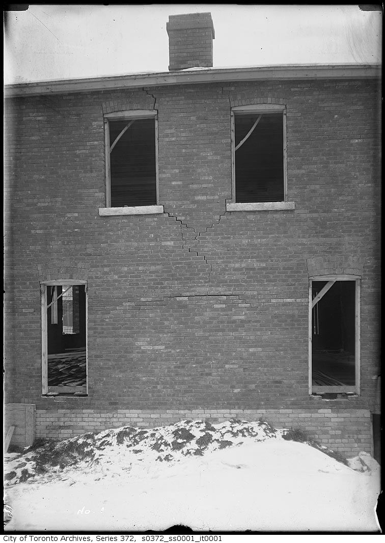
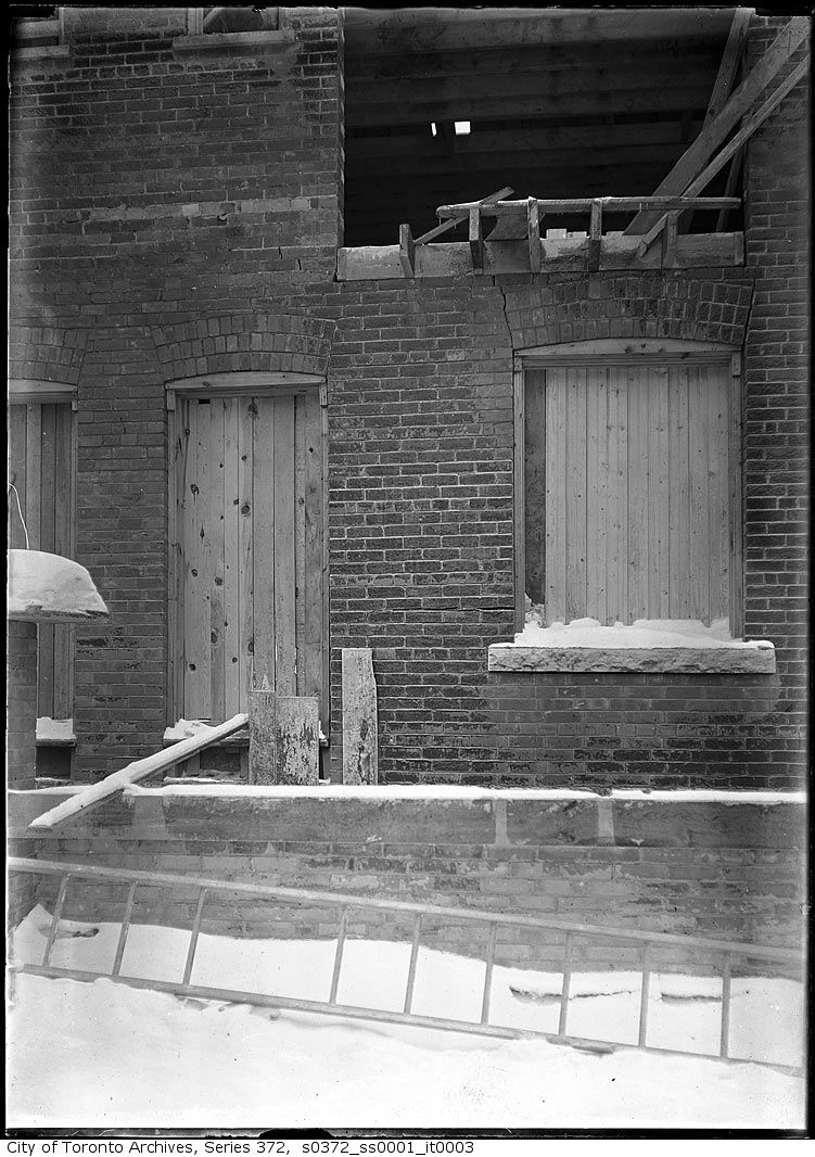
Photo locations are matched from each photo’s title against City street and address data, so some may be off. Report a wrong location