Skip to content
My Address in Toronto
Address report

93 Mitchell Ave

An address in West Queen West, outside TRCA flood and shoreline hazard areas, with 2 active development applications within 250 metres.

Data as of Nov 7, 2026 · Every item lists its source

Follow this address
Key findings
  • Outside TRCA flood and shoreline hazard areas.
  • 2 active development applications and 3 Committee of Adjustment applications within 250 m.
RentSafe score—not a registered apartment building
Fire code violations—no inspection records
Applications5active within 250 m
Flood hazardOutsideTRCA mapping
Tecumseth StNiagara StRichmond St WMichener CrtAdelaide St WWhitaker AveMitchell AveWalnut AvePortugal SqStanley AveStafford StGore Vale AveStrachan AveBellwoods AveMassey StStanley TerQueen St WBathurst StKing St W12345Map data: City of Toronto (Toronto Centreline)
The red circle shows the 250-metre radius used for “Nearby” items. Numbers match the applications listed below.

01The building

ItemFindingPrecisionSource · as of
RentSafe evaluationNot a registered apartment buildingThis addressApartment Building Evaluation
Fire code inspectionsNo inspection recordsThis addressResidential Fire Inspection Results
Building orders and noticesNone on recordThis addressBuilding Construction/Demolition Violations
Building permits, last 5 years1 permitThis addressBuilding Permits · 2 on record
Short-term rentalNot registeredThis addressShort Term Rentals Registration
Heritage statusNot on the Heritage RegisterThis addressHeritage Register
Recent permits (2)
  • Multiple Projects · Permit Issued · Oct 7, 2024
    Upgrade to provide additional dwelling space and improved life safety with the intention of applying for a mult-tenant housing operators license · Permit 24 197471 BLD
  • Alternative Solution · Approved · Aug 13, 2024
    This Alternative Solution is proposed as a means of providing timely movement of persons to a safe place in an emergency (OBC Functional Statement 10) and To notify persons, in a timely manner, of… · Permit 24 197490 ALT

02Risks and the ground

ItemFindingPrecisionSource · as of
River flood hazardOutsideThis addressTRCA Regulation mapping 2025
Lake shoreline hazardOutsideThis addressTRCA Regulation mapping 2025
TRCA regulated areaOutsideThis addressTRCA Regulation mapping 2025
Basement flooding study areaBFA42Your areaBasement Flooding Study Areas · the City divides all of Toronto into study areas; this names yours, not a risk level
Lead in tap water samples, postal area M6J19 of 337 above 0.01 ppmYour area · M6JNon Regulated Lead Sample · Jan 21, 2014 to Oct 5, 2026

TRCA mapping is for screening, not site-specific decisions. Lead results are voluntary samples from homes in the postal area, not this address.

03What’s changing nearby

  1. 1
    835 Queen St W · 134 m · Site Plan · NOAC Issued
    Proposal for a 6-storey mixed-use building containing19 residential dwelling units. The proposed non-residential gross floor area is 136 square metres, and the proposed residential gross floor area is 1118 square metres.
    File 20 160774 STE 10 SA · submitted Jun 26, 2020 · City record
  2. 2
    723 Queen St W · 166 m · Site Plan · Final Approval Completed
    To demolish the existing two-storey, 60-bed crisis shelter building and construct a new four-storey shelter building with 63 beds and a total gross floor area of 1,319 square metres.
    File 22 243075 STE 10 SA · submitted Dec 29, 2022 · City record
  3. 3
    15 Stanley Ave · 163 m · Committee of Adjustment · Consent (severance) · Approved with Conditions
    To obtain consent to sever the property into two undersized residential lots.
    File B0096/17EYK · submitted Oct 23, 2017
  4. 4
    12 Whitaker Ave · 192 m · Committee of Adjustment · Minor variance · Postponed
    To construct a new three-storey detached dwelling with a front basement walkout, front ground floor stairs, a front third storey covered balcony, and a rear juliette balcony.
    File A0741/26TEY · submitted Oct 13, 2026
  5. 5
    62 Stanley Ter · 235 m · Committee of Adjustment · Minor variance · Approved with Conditions
    To legalize and to maintain the new three-storey detached dwelling, a carport, and a fourth storey stair enclosure (to access the rooftop patio), that was constructed by demolishing additional walls beyond the limits of the…
    File A0701/23TEY · submitted Aug 8, 2023

Development Applications; Committee of Adjustment Applications · 41 registered short-term rentals within 250 m.

04City services

ItemFindingPrecisionSource · as of
Garbage dayNovember 10, 2026This addressCollection calendar Tuesday 2
Next recyclingNovember 17, 2026This addressSolid Waste Collection Schedule
City councillorAusma MalikWard 10Councillor_Malik@toronto.ca · 416-392-4044

05Quick answers about 93 Mitchell Ave

Is 93 Mitchell Ave in a flood plain?

No. It is outside TRCA's mapped flood and shoreline hazard areas. Source: TRCA Regulation mapping 2025.

What is being built near 93 Mitchell Ave?

2 active development applications within 250 metres, the closest at 835 Queen St W (134 m). Source: Development Applications.

When is garbage day at 93 Mitchell Ave?

Collection calendar Tuesday 2. Next garbage pickup: Nov 10, 2026. Source: Solid Waste Collection Schedule.

Answers are generated from the data on this page and update when the data changes.

06From the archives
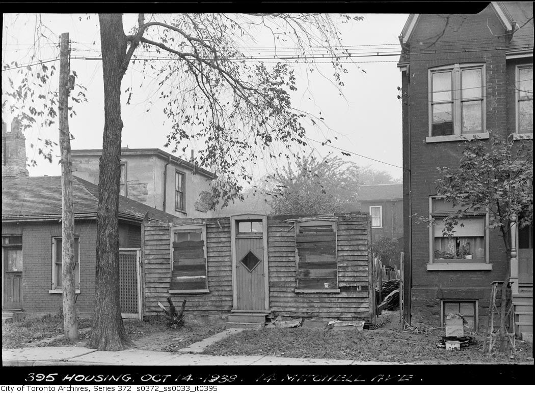
14 Mitchell Avenue
14 Mitchell Avenue , 1938. City of Toronto Archives, Fonds 200, Series 372, Subseries 33, Item 395. 160 m away.
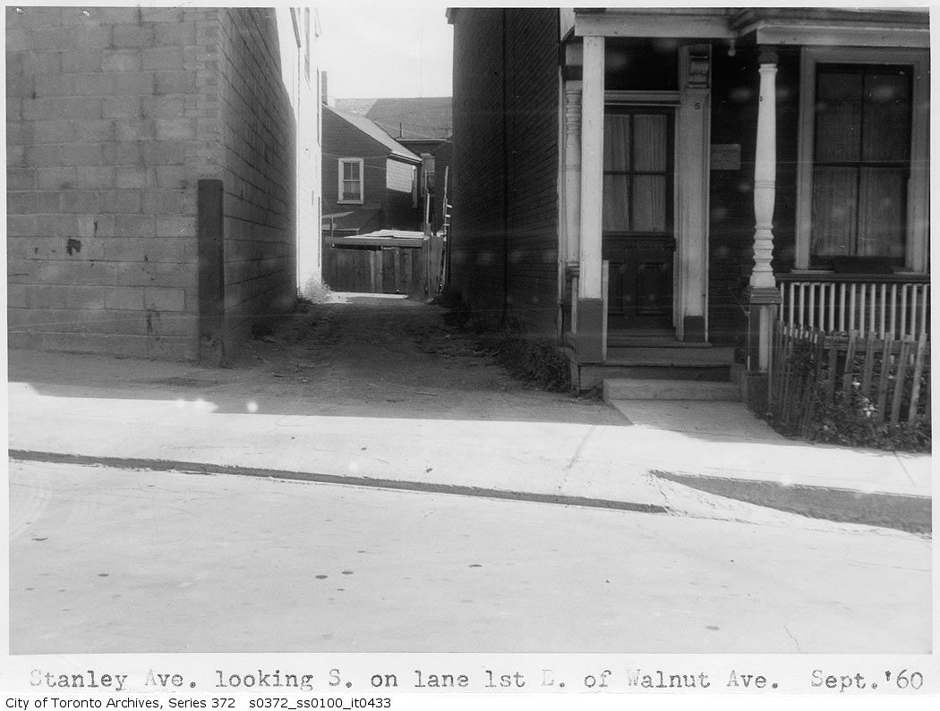
Stanley Avenue looking south on lane first east of Walnut Avenue
Stanley Avenue looking south on lane first east of Walnut Avenue, 1960. City of Toronto Archives, Fonds 200, Series 372, Subseries 100, Item 433. 164 m away.
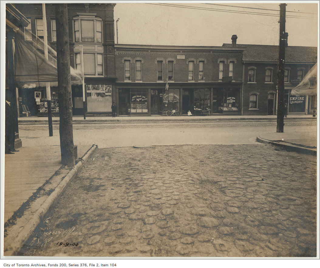
Looking south from Queen Street and Manning Avenue
Looking south from Queen Street and Manning Avenue, 1900. City of Toronto Archives, Fonds 200, Series 376, File 2, Item 104. 184 m away.
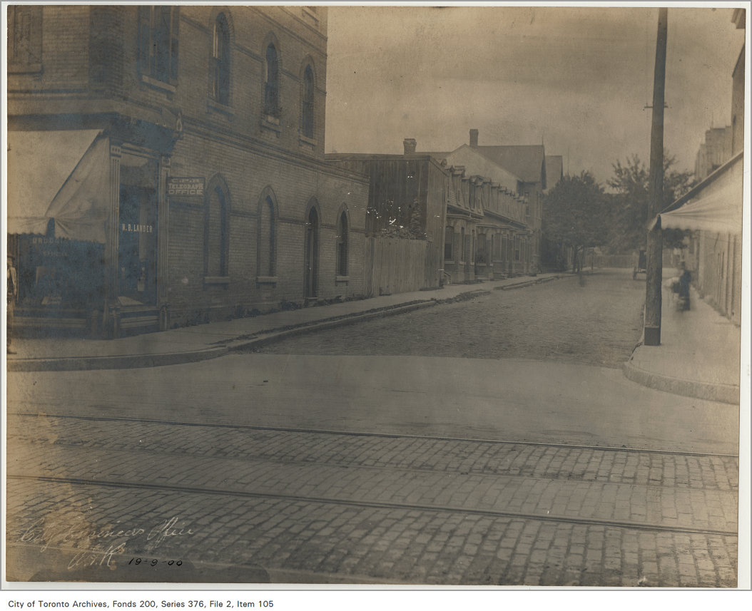
Queen Street and Manning Avenue looking north
Queen Street and Manning Avenue looking north, 1900. City of Toronto Archives, Fonds 200, Series 376, File 2, Item 105. 184 m away.
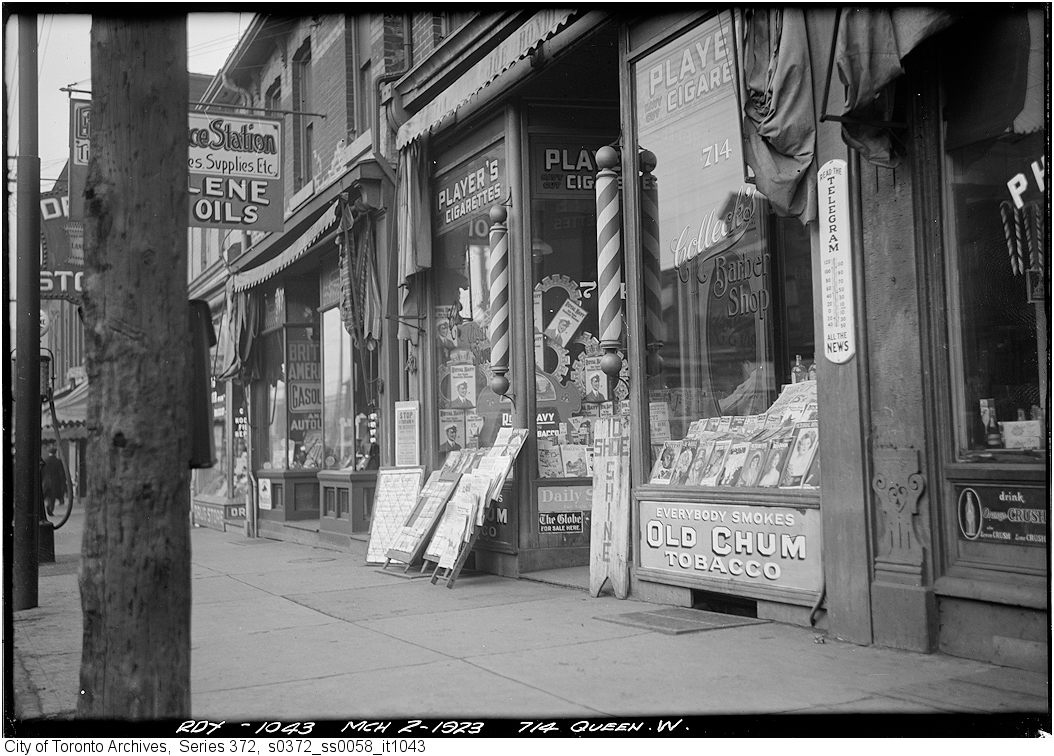
714 Queen St. W
714 Queen St. W, 1923. City of Toronto Archives, Fonds 200, Series 372, Subseries 58, Item 1043. 201 m away.
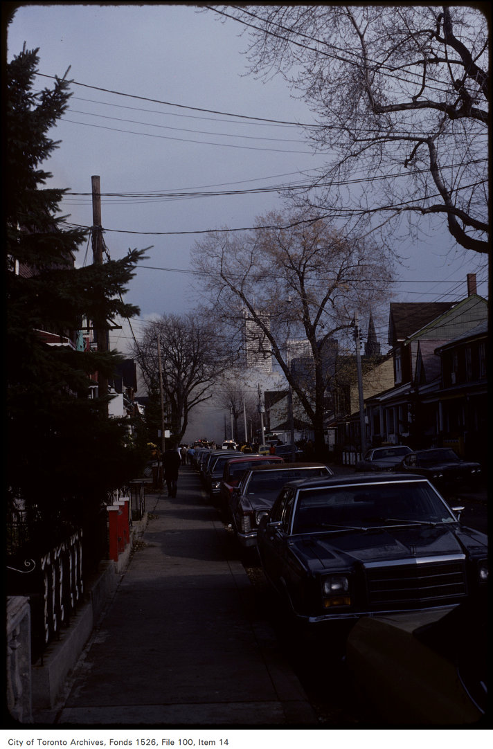
View of smoke on Mitchell Avenue east from Tecumseth Street
View of smoke on Mitchell Avenue east from Tecumseth Street, 1981. City of Toronto Archives, Fonds 1526, File 100, Item 14. 214 m away.
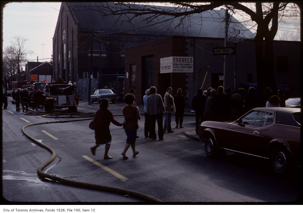
View of crowd at Mitchell Avenue and Tecumseth Street
View of crowd at Mitchell Avenue and Tecumseth Street, 1981. City of Toronto Archives, Fonds 1526, File 100, Item 12. 214 m away.
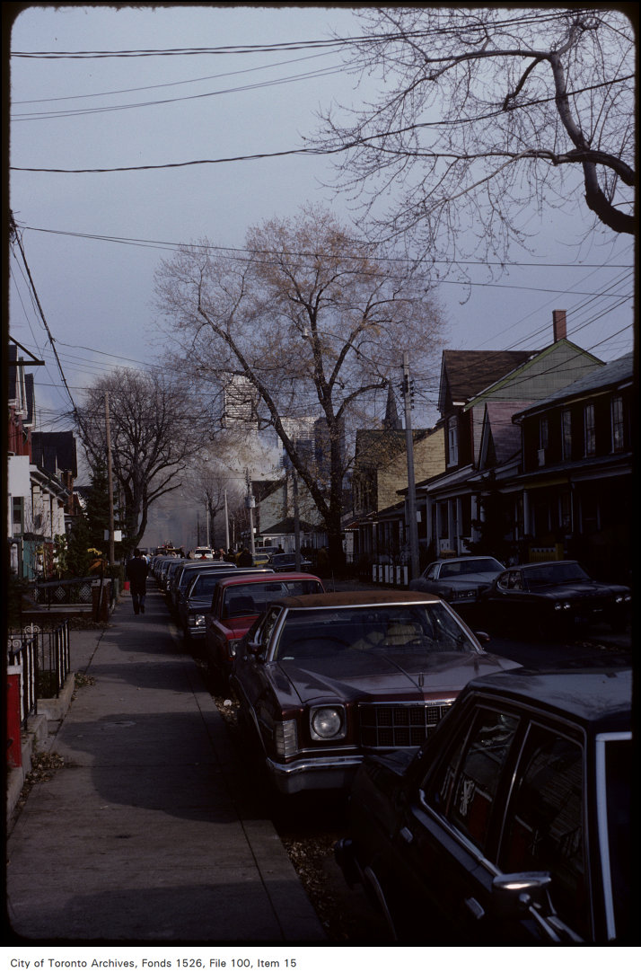
View of smoke on Mitchell Avenue east from Tecumseth Street
View of smoke on Mitchell Avenue east from Tecumseth Street, 1981. City of Toronto Archives, Fonds 1526, File 100, Item 15. 214 m away.
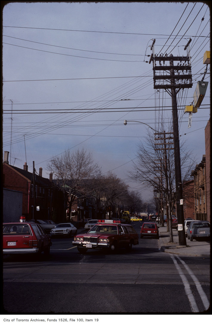
View of Mitchell Avenue, looking north of King from Tecumseth Street
View of Mitchell Avenue, looking north of King from Tecumseth Street, 1981. City of Toronto Archives, Fonds 1526, File 100, Item 19. 214 m away.

Photo locations are matched from each photo’s title against City street and address data, so some may be off. Report a wrong location

93 Mitchell Ave, Toronto — address report · My Address in Toronto