97 Ritchie Ave
An address in Roncesvalles, outside TRCA flood and shoreline hazard areas, with 15 active development applications within 250 metres.
Data as of Nov 7, 2026 · Every item lists its source
- Outside TRCA flood and shoreline hazard areas.
- 15 active development applications and 1 Committee of Adjustment application within 250 m.
01The building
Recent permits (5)
- Garage · Permit Issued · Oct 26, 2026
Proposal to demolish existing detached garage and construct a new detached garage · Permit 26 257657 BLD - Garage · Cancelled · Oct 9, 2026
Demolish existing rear detached single car garage and replace with new detached single car garage · Permit 26 252541 BLD - Multiple Projects · Inspection · Feb 13, 2025
Proposed interior alterations for basement interior partitions demolition, main floor josits sistering, and 2nd floor bathroom re-modelling (5.0 sq.m) · Permit 25 115179 BLD - Building Permit Related(PS) · Closed · Feb 13, 2025
Plumbing - Proposed interior alterations for basement interior partitions demolition, main floor josits sistering, and 2nd floor bathroom re-modelling (5.0 sq.m) · Permit 25 115179 PLB - Party Wall Admin Permits · Inspection · Jul 13, 2016
Party Wall Admin permit in conjunction with permit at 95 Ritchie Ave #16-157946 · Permit 16 184323 BLD
02Risks and the ground
TRCA mapping is for screening, not site-specific decisions. Lead results are voluntary samples from homes in the postal area, not this address.
03What’s changing nearby
- 11435-1437 Bloor St W · 77 m · Site Plan · Under ReviewSite Plan Approval for an 18-storey mixed-use building having a non-residential gross floor area of 401 square metres, and a residential gross floor area of 14,460.4 square metres.File 21 201846 STE 09 SA · submitted Aug 20, 2021 · City record
- 21435-1437 Bloor St W · 77 m · Official Plan / Rezoning · Council ApprovedProposal for an 18-storey, inclusive of a 6-storey podium, mixed-use building with a tota GFA of 14,635 square metres. A total of 197 residential dwelling units are proposed, of which, 17 will be rental units.File 21 139658 STE 09 OZ · submitted Apr 13, 2021 · City record
- 31429 Bloor St W · 81 m · Official Plan / Rezoning · Council ApprovedProposal for an 18-storey, inclusive of a 6-storey podium, mixed-use building with a tota GFA of 14,635 square metres. A total of 197 residential dwelling units are proposed, of which, 17 will be rental units.File 21 139658 STE 09 OZ · submitted Apr 13, 2021 · City record
- 41429 Bloor St W · 81 m · Site Plan · Under ReviewSite Plan Approval for an 18-storey mixed-use building having a non-residential gross floor area of 401 square metres, and a residential gross floor area of 14,460.4 square metres.File 21 201846 STE 09 SA · submitted Aug 20, 2021 · City record
- 51437 Bloor St W · 81 m · Site Plan · Under ReviewSite Plan Approval for an 18-storey mixed-use building having a non-residential gross floor area of 401 square metres, and a residential gross floor area of 14,460.4 square metres.File 21 201846 STE 09 SA · submitted Aug 20, 2021 · City record
- 61437 Bloor St W · 81 m · Official Plan / Rezoning · Council ApprovedProposal for an 18-storey, inclusive of a 6-storey podium, mixed-use building with a tota GFA of 14,635 square metres. A total of 197 residential dwelling units are proposed, of which, 17 will be rental units.File 21 139658 STE 09 OZ · submitted Apr 13, 2021 · City record
- 71435 Bloor St W · 84 m · Official Plan / Rezoning · Council ApprovedProposal for an 18-storey, inclusive of a 6-storey podium, mixed-use building with a tota GFA of 14,635 square metres. A total of 197 residential dwelling units are proposed, of which, 17 will be rental units.File 21 139658 STE 09 OZ · submitted Apr 13, 2021 · City record
- 81435 Bloor St W · 84 m · Site Plan · Under ReviewSite Plan Approval for an 18-storey mixed-use building having a non-residential gross floor area of 401 square metres, and a residential gross floor area of 14,460.4 square metres.File 21 201846 STE 09 SA · submitted Aug 20, 2021 · City record
- 91433 Bloor St W · 84 m · Official Plan / Rezoning · Council ApprovedProposal for an 18-storey, inclusive of a 6-storey podium, mixed-use building with a tota GFA of 14,635 square metres. A total of 197 residential dwelling units are proposed, of which, 17 will be rental units.File 21 139658 STE 09 OZ · submitted Apr 13, 2021 · City record
- 101433 Bloor St W · 84 m · Site Plan · Under ReviewSite Plan Approval for an 18-storey mixed-use building having a non-residential gross floor area of 401 square metres, and a residential gross floor area of 14,460.4 square metres.File 21 201846 STE 09 SA · submitted Aug 20, 2021 · City record
- 111425 A Bloor St W · 85 m · Site Plan · Under ReviewSite Plan Approval for an 18-storey mixed-use building having a non-residential gross floor area of 401 square metres, and a residential gross floor area of 14,460.4 square metres.File 21 201846 STE 09 SA · submitted Aug 20, 2021 · City record
- 121425 A Bloor St W · 85 m · Official Plan / Rezoning · Council ApprovedProposal for an 18-storey, inclusive of a 6-storey podium, mixed-use building with a tota GFA of 14,635 square metres. A total of 197 residential dwelling units are proposed, of which, 17 will be rental units.File 21 139658 STE 09 OZ · submitted Apr 13, 2021 · City record
Development Applications; Committee of Adjustment Applications · 10 registered short-term rentals within 250 m.
04City services
05Quick answers about 97 Ritchie Ave
Is 97 Ritchie Ave in a flood plain?
No. It is outside TRCA's mapped flood and shoreline hazard areas. Source: TRCA Regulation mapping 2025.
What is being built near 97 Ritchie Ave?
15 active development applications within 250 metres, the closest at 1435-1437 Bloor St W (77 m). Source: Development Applications.
When is garbage day at 97 Ritchie Ave?
Collection calendar Friday 1. Next garbage pickup: Nov 20, 2026. Source: Solid Waste Collection Schedule.
Answers are generated from the data on this page and update when the data changes.
06From the archives
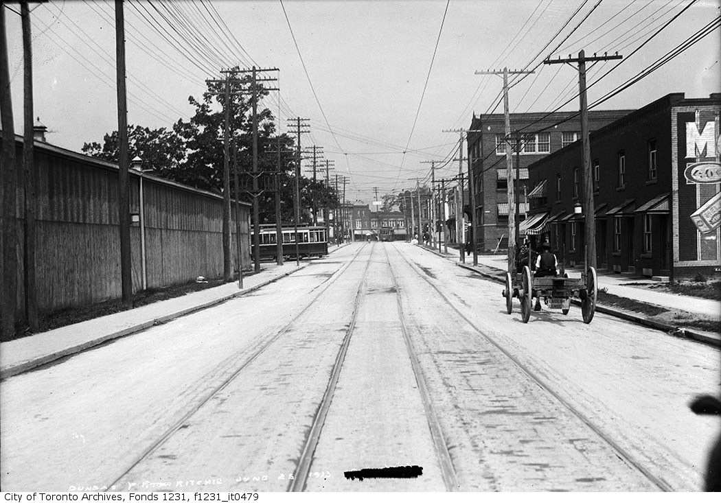

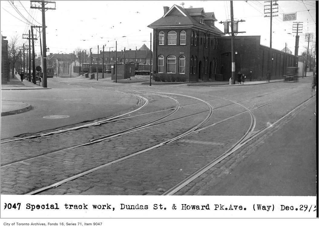
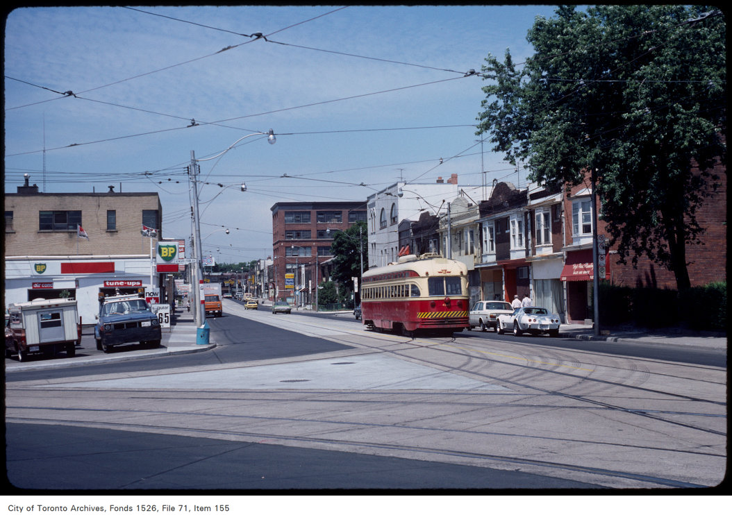
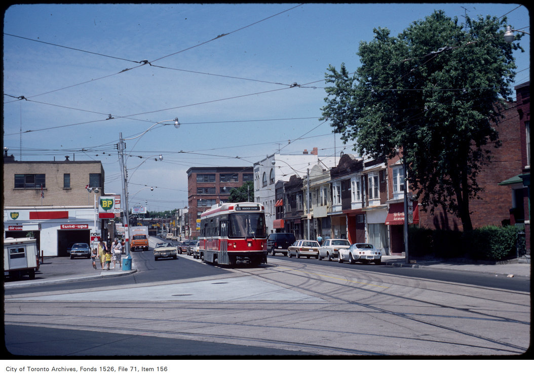
Photo locations are matched from each photo’s title against City street and address data, so some may be off. Report a wrong location