98 Hertle Ave
An address in Greenwood-Coxwell, outside TRCA flood and shoreline hazard areas, with 15 active development applications within 250 metres.
Data as of Nov 7, 2026 · Every item lists its source
- Outside TRCA flood and shoreline hazard areas.
- 15 active development applications and 0 Committee of Adjustment applications within 250 m.
01The building
Recent permits (1)
- Garage · Closed · Aug 29, 2019
Remove and repair tree damaged roof structure as per engineer, regrade after completion, removal of existing roof and 3 walls (structural), installation new concrete walls and wood roof. · Permit 19 132707 BLD
02Risks and the ground
TRCA mapping is for screening, not site-specific decisions. Lead results are voluntary samples from homes in the postal area, not this address.
03What’s changing nearby
- 11311 Gerrard St E · 128 m · Official Plan / Rezoning · Council ApprovedThis application proposes to amend the Zoning By-law to permit a 12-storey residential building containing 282 residential units, 1271 square metres of GFA of retail on the ground floor, 51 vehicle parking spaces, and 322 bicycle parking…File 23 140447 STE 14 OZ · submitted May 2, 2023 · City record
- 21309 Gerrard St E · 133 m · Official Plan / Rezoning · Council ApprovedThis application proposes to amend the Zoning By-law to permit a 12-storey residential building containing 282 residential units, 1271 square metres of GFA of retail on the ground floor, 51 vehicle parking spaces, and 322 bicycle parking…File 23 140447 STE 14 OZ · submitted May 2, 2023 · City record
- 31307 Gerrard St E · 139 m · Official Plan / Rezoning · Council ApprovedThis application proposes to amend the Zoning By-law to permit a 12-storey residential building containing 282 residential units, 1271 square metres of GFA of retail on the ground floor, 51 vehicle parking spaces, and 322 bicycle parking…File 23 140447 STE 14 OZ · submitted May 2, 2023 · City record
- 41305 Gerrard St E · 141 m · Official Plan / Rezoning · Council ApprovedThis application proposes to amend the Zoning By-law to permit a 12-storey residential building containing 282 residential units, 1271 square metres of GFA of retail on the ground floor, 51 vehicle parking spaces, and 322 bicycle parking…File 23 140447 STE 14 OZ · submitted May 2, 2023 · City record
- 51400 Gerrard St E · 152 m · Site Plan · Under ReviewSite Plan Application to construct a 7 storey (27.2 metres including mechanical penthouse) mixed-use building with 19 rental dwelling units and two commercial units. A total of gross floor area of 1,522.3 square metres is proposed,…File 22 140739 STE 14 SA · submitted May 2, 2022 · City record
- 61303 Gerrard St E · 154 m · Official Plan / Rezoning · Council ApprovedThis application proposes to amend the Zoning By-law to permit a 12-storey residential building containing 282 residential units, 1271 square metres of GFA of retail on the ground floor, 51 vehicle parking spaces, and 322 bicycle parking…File 23 140447 STE 14 OZ · submitted May 2, 2023 · City record
- 71301 Gerrard St E · 162 m · Official Plan / Rezoning · Council ApprovedThis application proposes to amend the Zoning By-law to permit a 12-storey residential building containing 282 residential units, 1271 square metres of GFA of retail on the ground floor, 51 vehicle parking spaces, and 322 bicycle parking…File 23 140447 STE 14 OZ · submitted May 2, 2023 · City record
- 81299 Gerrard St E · 169 m · Official Plan / Rezoning · Council ApprovedThis application proposes to amend the Zoning By-law to permit a 12-storey residential building containing 282 residential units, 1271 square metres of GFA of retail on the ground floor, 51 vehicle parking spaces, and 322 bicycle parking…File 23 140447 STE 14 OZ · submitted May 2, 2023 · City record
- 91295 Gerrard St E · 173 m · Official Plan / Rezoning · Council ApprovedThis application proposes to amend the Zoning By-law to permit a 12-storey residential building containing 282 residential units, 1271 square metres of GFA of retail on the ground floor, 51 vehicle parking spaces, and 322 bicycle parking…File 23 140447 STE 14 OZ · submitted May 2, 2023 · City record
- 101297 Gerrard St E · 176 m · Official Plan / Rezoning · Council ApprovedThis application proposes to amend the Zoning By-law to permit a 12-storey residential building containing 282 residential units, 1271 square metres of GFA of retail on the ground floor, 51 vehicle parking spaces, and 322 bicycle parking…File 23 140447 STE 14 OZ · submitted May 2, 2023 · City record
- 111293 Gerrard St E · 187 m · Official Plan / Rezoning · Council ApprovedThis application proposes to amend the Zoning By-law to permit a 12-storey residential building containing 282 residential units, 1271 square metres of GFA of retail on the ground floor, 51 vehicle parking spaces, and 322 bicycle parking…File 23 140447 STE 14 OZ · submitted May 2, 2023 · City record
- 121291 Gerrard St E · 193 m · Official Plan / Rezoning · Council ApprovedThis application proposes to amend the Zoning By-law to permit a 12-storey residential building containing 282 residential units, 1271 square metres of GFA of retail on the ground floor, 51 vehicle parking spaces, and 322 bicycle parking…File 23 140447 STE 14 OZ · submitted May 2, 2023 · City record
Development Applications; Committee of Adjustment Applications · 2 registered short-term rentals within 250 m.
04City services
05Quick answers about 98 Hertle Ave
Is 98 Hertle Ave in a flood plain?
No. It is outside TRCA's mapped flood and shoreline hazard areas. Source: TRCA Regulation mapping 2025.
What is being built near 98 Hertle Ave?
15 active development applications within 250 metres, the closest at 1311 Gerrard St E (128 m). Source: Development Applications.
When is garbage day at 98 Hertle Ave?
Collection calendar Tuesday 1. Next garbage pickup: Nov 17, 2026. Source: Solid Waste Collection Schedule.
Answers are generated from the data on this page and update when the data changes.
06From the archives
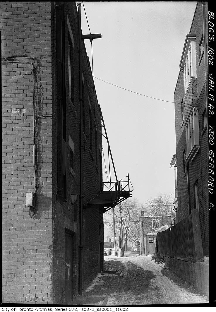
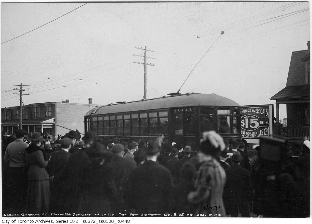
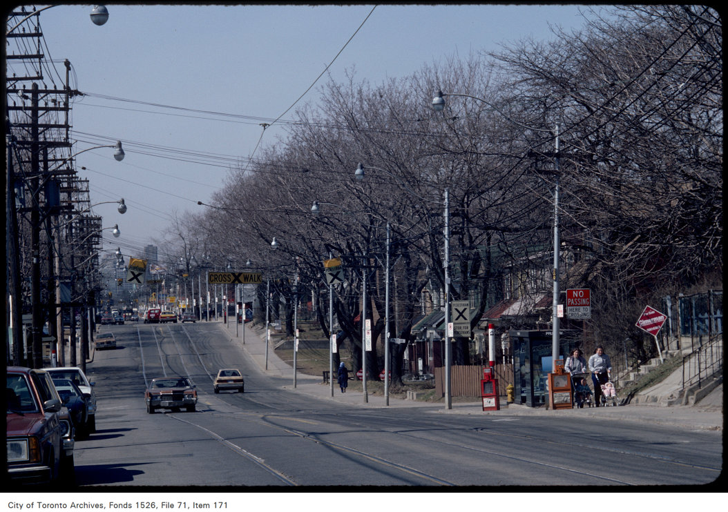
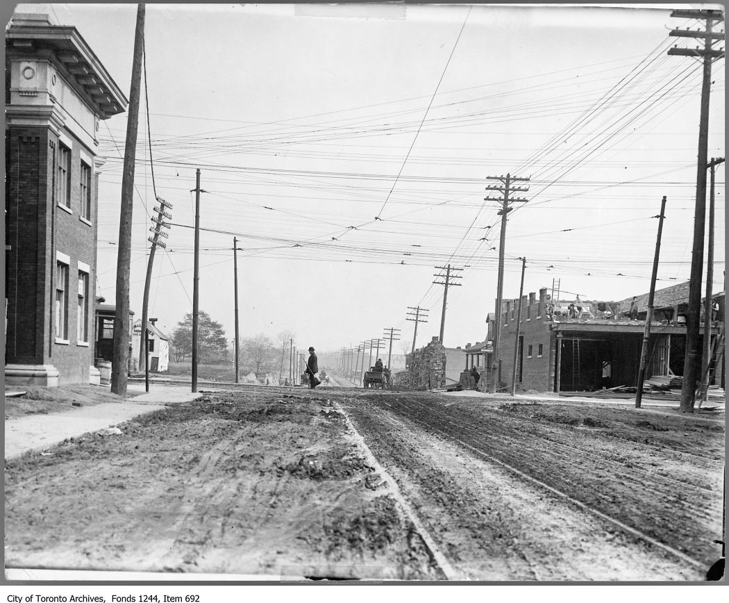
Photo locations are matched from each photo’s title against City street and address data, so some may be off. Report a wrong location