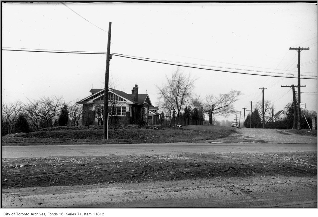
32 Bingham Ave
32 Bingham Ave is in The Beaches. There are no planning proposals in progress within 250 m. Streetcars stop 21 m away.
Data as of Nov 9, 2026 · Every item lists its source
- Streetcar 503 stop 21 m away; the nearest subway is 1.6 km.
- The nearest elementary school is Adam Beck Junior Public School, 405 m away.
- Nothing is on record for the building itself: no permits, orders or heritage listing.
01What’s planned near 32 Bingham Ave
No planning proposals in progress or recently decided within 250 m (about a 3‑minute walk).
Development Applications and Committee of Adjustment Applications, City of Toronto. A proposal that covers several addresses is listed once. Decided: development files submitted in the last 4 years; Committee of Adjustment decisions in the last 2 years.
02Safety near 32 Bingham Ave
Police recorded 46 major crimes within 500 m of this address from Oct 2025 to Sep 2026. That's about typical for Toronto (the typical address has 40). The table compares the neighbourhood's rates with Toronto's.
| Major crime | Near this addressreported within 500 m, last 12 months | The Beachesper 100,000 residents, 2025 | Torontoper 100,000 residents, 2025 |
|---|---|---|---|
| Assaults | 23 | 526 | 768The Beaches is lower |
| Break-ins | 4 | 151 | 190The Beaches is lower |
| Car thefts | 11 | 164 | 225The Beaches is lower |
| Robberies | 5 | 25 | 79The Beaches is lower |
| Thefts over $5,000 | 3 | 51 | 61The Beaches is about the same |
Thick bar: The Beaches. Thin grey bar: Toronto. Source: Toronto Police Service Public Safety Data Portal, Major Crime Indicators (Oct 2, 2025 to Sep 30, 2026) and Neighbourhood Crime Rates. Reported incidents only; police place each incident at the nearest intersection. Five-year trends for The Beaches
03Getting around from 32 Bingham Ave
The nearest subway station is Victoria Park Station (Line 2), about a 25‑minute walk (1.6 km). Within a 5‑minute walk there are 12 TTC stops served by the 503 streetcar and the 12, 117 and 404 buses, with about 2,391 departures on a typical weekday. The nearest GO train station is Danforth GO, 1.4 km away, with 88 train stops on a weekday.
Source: TTC · Line 2 · about 25 min walk
Nearest stop: Kingston Rd at Bingham Ave, plus 3 more stops for this route within 250 m.
Nearest stop: Kingston Rd at Victoria Park Ave, plus 4 more stops for these routes within 250 m.
Nearest stop: 1091 Kingston Rd - Henley Gardens, plus 4 more stops for this route within 250 m.
Source: GO Transit · 88 train stops on a weekday
TTC and GO Transit schedules for a typical weekday (Nov 11, 2026). Walking times are estimates.
04Schools and child care near 32 Bingham Ave
The closest public and Catholic schools. They may not be the ones assigned to this address; check with the Toronto District School Board (TDSB) or Toronto Catholic District School Board (TCDSB).
Elementary schools
Share of Grade 6 students meeting the provincial standard. Toronto: 87% reading, 54% math.
Secondary schools
Share of students who passed the Grade 10 literacy test on their first try. Toronto: 84%.
The red tick on each bar is the Toronto average. Private schools within 1 km: Beaches Montessori, The Cole Academy, The Claremont School. Source: Ontario Ministry of Education (2026), EQAO results.
Within 500 m (about a 6‑minute walk): three licensed child care centres and no EarlyON centres.
995 Kingston Rd · 16 spaces · preschool
950 Kingston Rd · 54 spaces · toddler, preschool
400 Scarborough Rd · 198 spaces · kindergarten, school age · in the $10-a-day program · fee subsidies
Source: City of Toronto Licensed Child Care Centres and EarlyON Child and Family Centres.
05The building at 32 Bingham Ave
No building permits, building orders, heritage listing or short-term rental registration are on record for this address. About 90% of Toronto addresses also had none in the last 5 years.
06Around the block
Stays of less than 28 days, like Airbnb. That's about typical for Toronto (the typical address has 2).
Houses that rent individual rooms with shared kitchens or bathrooms. The City licenses them to enforce safety standards.
Captain Jack (restaurant or bar), Tavio Kitchen (take-out or food shop), Gululu Juicery (take-out or food shop), and 5 more.
All new business licences in The Beaches (8)
- Captain Jack · Restaurant or bar · 2 Wheeler Ave · 1583 m · licensed Oct 28, 2026
- Tavio Kitchen · Take-out or food shop · 1918A Queen St E · 1964 m · licensed Oct 14, 2026
- Gululu Juicery · Take-out or food shop · 2116 Queen St E · 1316 m · licensed Sep 18, 2026
- Vision Seeker Studio · Salon or personal services · 1980 Queen St E · 1713 m · licensed Sep 17, 2026
- Casa Mia Delicatessen Fine Foods · Restaurant or bar · 1985 Queen St E · 1698 m · licensed Sep 11, 2026
- Infinity Mart · Take-out or food shop · 1930 Queen St E · 1912 m · licensed Aug 20, 2026
- Beauty In the East Medical Spa · Salon or personal services · 1826 Queen St E · 2336 m · licensed Aug 20, 2026
- Willow Collective · Restaurant or bar · 2256 Queen St E · 827 m · licensed Aug 14, 2026
Source: Short Term Rentals Registration, Multi-Tenant (Rooming) House Licences, Business Licences and Permits (storefront types; owners’ personal names are never shown), POPS, and Daily Shelter Occupancy (Nov 6, 2026). Confidential shelter locations are not published.
07Risks and environment at 32 Bingham Ave
TRCA's maps show this address is outside the areas that could flood from rivers in a major storm (TRCA plans for a storm like Hurricane Hazel in 1954) and outside lake shoreline hazards. Basement flooding from overloaded sewers can still happen anywhere in the city.
Source: TRCA Regulation mapping 2025
In postal area M4E, 9 of 488 home tap-water samples (1.8%) tested above Ontario's limit for lead (10 micrograms per litre). Across Toronto, 2.0% of samples did, so M4E is about the same as the city overall. Health Canada recommends a stricter limit of 5 micrograms per litre: 22 samples here (4.5%) were above it. These are voluntary tests, mostly from older homes, so they don't tell you about this house. Lead comes from old pipes and plumbing, not the City's treatment plants. If your home was built before the mid-1950s, you can get a free test kit by calling 311.
Source: Non Regulated Lead Sample · 488 tests, Jan 1, 2014 to Oct 7, 2026
Air Quality Health Index from Environment and Climate Change Canada's Toronto Downtown station, 9.0 km away, measured 5:00 AM EST Monday 9 November 2026. Forecast high for the next 24 hours: 2 (low risk). The scale runs from 1 to 10+; 1 to 3 is low risk.
Source: Environment and Climate Change Canada · hourly
TRCA mapping is for screening, not site-specific decisions. Lead results are voluntary samples from homes in the postal area, not this address.
08The neighbourhood: The Beaches
The Beaches had 21,510 residents in 2021. The median household income was $116,000, higher than the typical Toronto neighbourhood ($85,000). 37% of households rent (typical neighbourhood: 46%). 46% of renters spend 30% or more of their income on housing. 18% of workers commuted by transit and 17% walked or cycled (typical neighbourhood: 26% and 5%). The most common first languages other than English and French are Spanish (1.2%) and German (1.0%). Source: 2021 Census; the next census was taken in 2026.
Rents aren't published for single neighbourhoods. Across central Toronto (the old City of Toronto, before the 1998 amalgamation), a two-bedroom in a purpose-built rental building averaged $2,457 a month in October 2025, up 6% from a year earlier. The Toronto average was $2,055. The vacancy rate was 3.2%. These averages include long-term tenants; new listings usually cost more.
| Average rent, October 2025 | Central Toronto | Change in a year | Toronto |
|---|---|---|---|
| Studio | $1,526 | +2% | $1,499 |
| 1 bedroom | $1,914 | +4% | $1,763 |
| 2 bedrooms | $2,457 | +6% | $2,055 |
| 3 bedrooms or more | $3,195 | 0% | $2,361 |
Source: CMHC, Rental Market Survey (October 2025), purpose-built rental apartments, central Toronto (the old City of Toronto, before the 1998 amalgamation). CMHC doesn’t publish rents for single neighbourhoods. Adapted by My Address in Toronto.
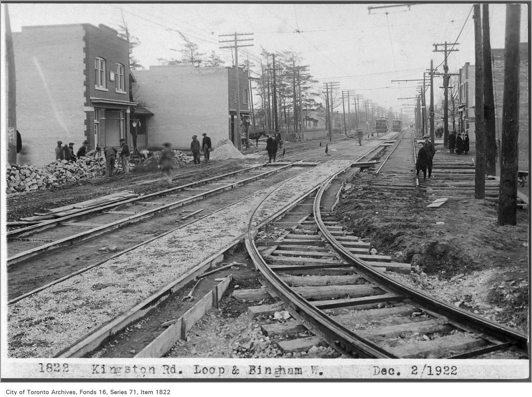
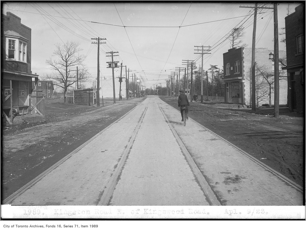
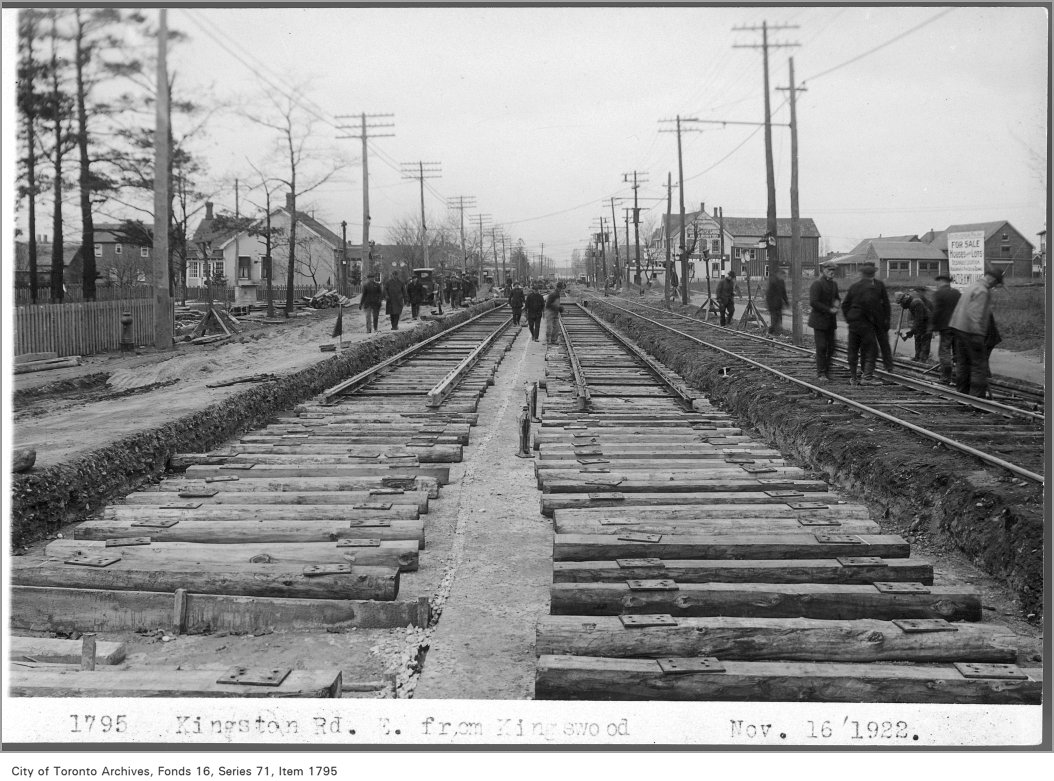
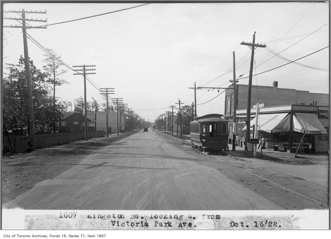
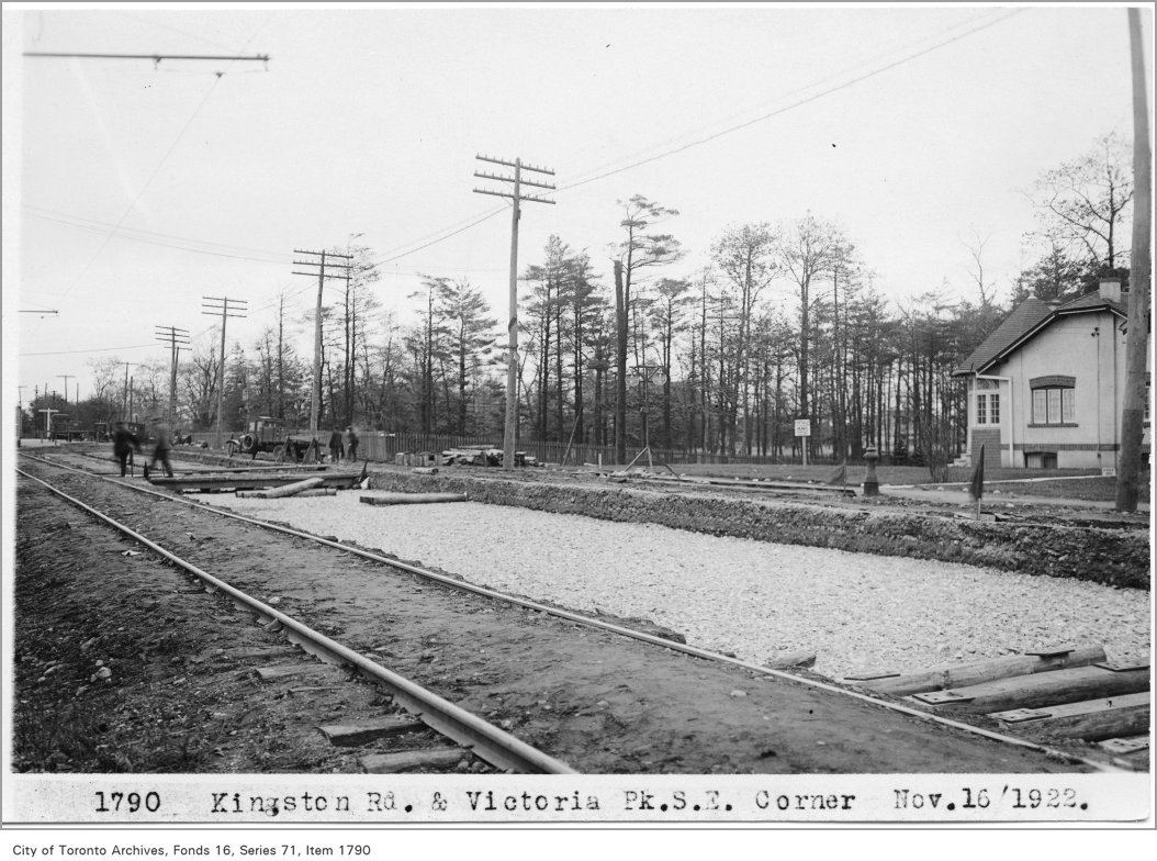
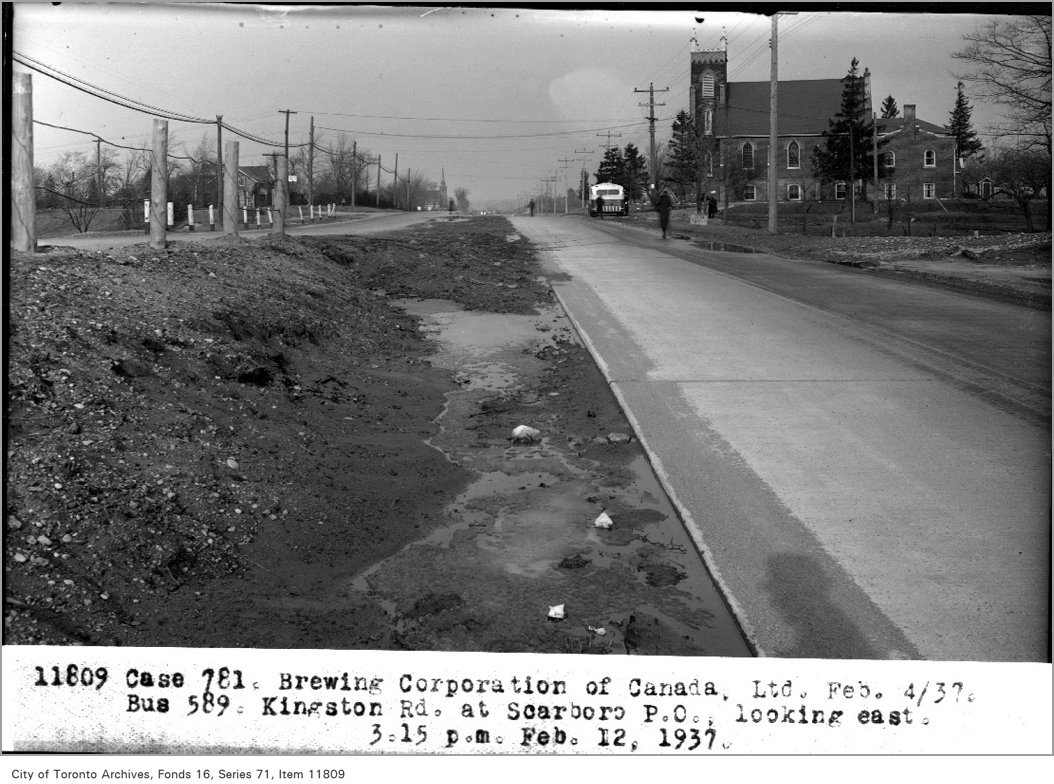
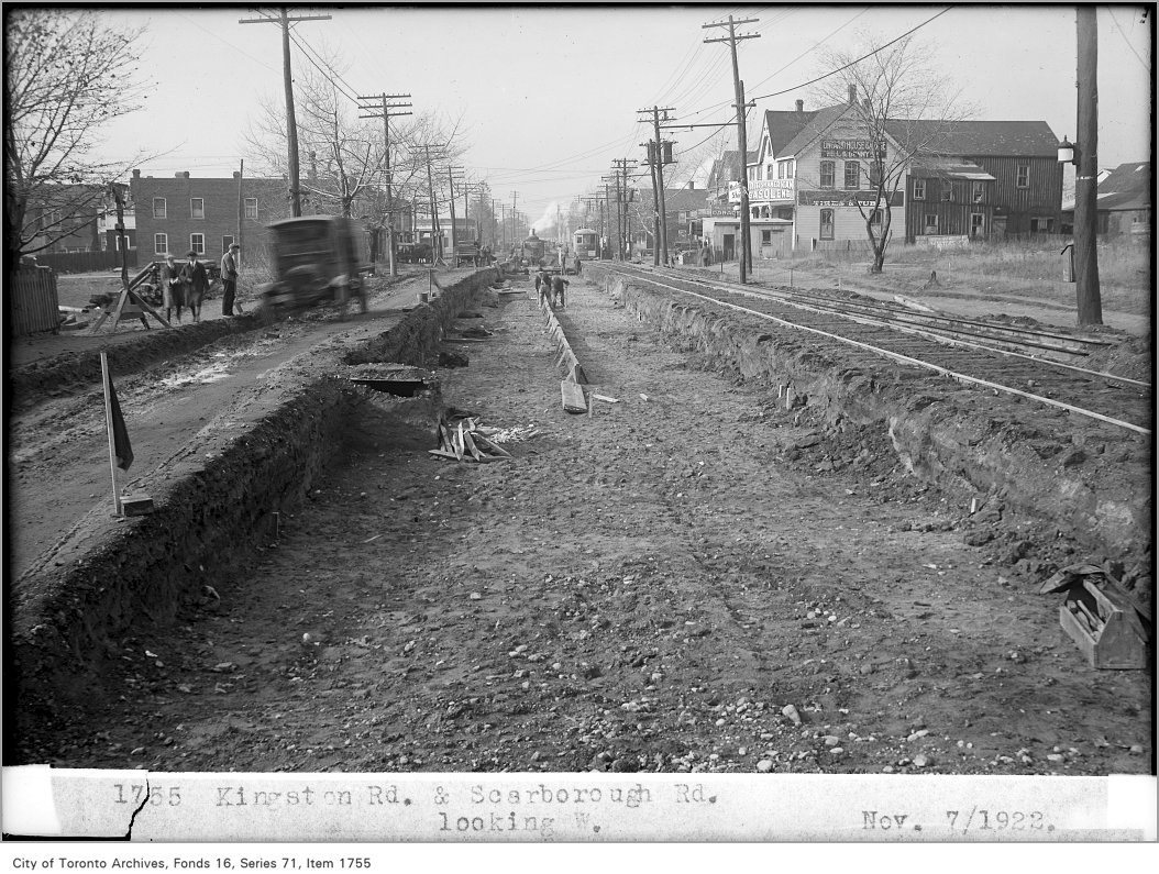
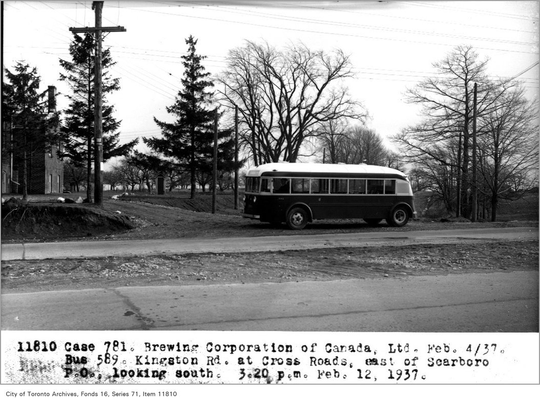
How The Beaches compares with Toronto’s 158 neighbourhoods →Archive photos from near this address: myaddressintoronto.com/address/32-bingham-ave#sec-history