64 Bloem Ave
64 Bloem Ave is in Caledonia-Fairbank. It added a laneway suite in 2025.
Data as of Nov 10, 2026 · Every item lists its source
- Added a laneway suite (completed Nov 2025).
- Lead in tap-water samples is higher than average in postal area M6E.
01What’s planned near 64 Bloem Ave
3 planning proposals within 250 m (about a 3‑minute walk): three in progress. That's more than at most Toronto addresses (the typical address has 1).
In progress
- 1Minor variance165 Sellers Ave · 164 m awayCommittee of Adjustment · Minor variance: permission to bend a zoning rule, such as height, size or setbacks
The hearing was postponed. A new date hasn't been published yet.
File A0752/26TEY · submitted Oct 27, 2026 · look it up on the City’s Application Information Centre - 2Consent165 Sellers Ave · 164 m awayCommittee of Adjustment · Consent: permission to split a lot or change property lines
The hearing was postponed. A new date hasn't been published yet.
File B0067/26TEY · submitted Oct 27, 2026 · look it up on the City’s Application Information Centre - 3Minor variance165 Sellers Ave · 164 m awayCommittee of Adjustment · Minor variance: permission to bend a zoning rule, such as height, size or setbacks
The hearing was postponed. A new date hasn't been published yet.
File A0753/26TEY · submitted Oct 27, 2026 · look it up on the City’s Application Information Centre
Development Applications and Committee of Adjustment Applications, City of Toronto. A proposal that covers several addresses is listed once. Decided: development files submitted in the last 4 years; Committee of Adjustment decisions in the last 2 years.
02Street work near 64 Bloem Ave
No new City road or sidewalk work is planned within 500 m. The work below was due earlier and is still on the City’s list.
Utility digs within 250 m
- Toronto Water · Water and Sewer Connection at 307 Earlscourt Ave · 212 m · Jun 2, 2026 to Dec 2, 2026
Source: City of Toronto Road Reconstruction, Road Resurfacing and Sidewalk Construction programs (planned work within 500 m), and Utility Cut Permits. Dates are the City’s plan and can move. “Carried over” means the work was due earlier and is still listed.
03Safety near 64 Bloem Ave
Police recorded 46 major crimes within 500 m of this address from Oct 2025 to Sep 2026. That's about typical for Toronto (the typical address has 39). The table compares the neighbourhood's rates with Toronto's.
| Major crime | Near this addresswithin 500 m, last 12 months | Caledonia-Fairbank compared with Torontorate per 100,000 residents, 2025 | |
|---|---|---|---|
| Car thefts | 14 near this address | 25% higher281 vs 225 per 100,000 | |
| Robberies | 2 near this address | About the same75 vs 79 per 100,000 | |
| Assaults | 22 near this address | 28% lower552 vs 768 per 100,000 | |
| Break-ins | 6 near this address | 36% lower122 vs 190 per 100,000 | |
| Thefts over $5,000 | 2 near this address | 69% lower19 vs 61 per 100,000 | |
Source: Toronto Police Service Public Safety Data Portal, Major Crime Indicators (Oct 3, 2025 to Sep 30, 2026) and Neighbourhood Crime Rates. Reported incidents only; police place each incident at the nearest intersection. Five-year trends for Caledonia-Fairbank
Traffic safety
2 collisions killed or seriously injured someone within 500 m since 2021; 1 was fatal. Most were on Rogers Rd and Lauder Ave. Caledonia-Fairbank ranks 81st in Toronto for these collisions per resident.
- Rogers Rd at Lauder Ave · Motorcyclist, seriously injured · Oct 1, 2025 · 498 m
- Dufferin St at Martin St · Motorcyclist, killed · Sep 24, 2022 · 407 m
Source: Toronto Police Service, collisions in which someone was killed or seriously injured (since 2021, within 500 m); City of Toronto School Safety Zones and Traffic Calming Database.
Other crimes near this address
| Last 12 months | Within 500 m | Caledonia-Fairbank, per 100,000 residents | Compared with other neighbourhoods |
|---|---|---|---|
| Shootings and firearm discharges | 0 | 0 | Lower than most |
| Bicycle thefts | 2 | 40 | About typical |
| Thefts from vehicles | 11 | 130 | Lower than most |
Toronto Police Service: Shootings and Firearm Discharges, Bicycle Thefts and Theft From Motor Vehicle, June 2025 to June 2026. Police place each incident at the nearest intersection.
04Getting around from 64 Bloem Ave
The nearest subway station is Cedarvale Station (Line 1), about a 29‑minute walk (1.9 km). Within a 5‑minute walk there are 11 TTC stops served by the 29, 161 and 929 buses, with about 1,744 departures on a typical weekday. The nearest GO train station is Mount Dennis GO, 3.1 km away, with 66 train stops on a weekday.
Source: TTC · Line 1 · about 29 min walk
Source: GO Transit · 66 train stops on a weekday
TTC and GO Transit schedules for a typical weekday (Nov 11, 2026). Walking times are estimates. Bike Share Toronto station data; City of Toronto Cycling Network and Permit Parking Areas.
How reliable are your routes?
| Route | Delays reported | Per 1,000 trips | Compared with other TTC routes |
|---|---|---|---|
| 29 | 970 | 9.1 | more than most routes |
| 161 | 277 | 5.4 | more than most routes |
| 929 | 613 | 6.9 | more than most routes |
TTC Bus and Streetcar Delay Data, September 2025 to September 2026: incidents the TTC logged as delaying service. Per 1,000 trips uses each route’s weekday schedule, so busy routes aren’t penalized for running more vehicles. A typical route: 4.0.
Charging and bike parking
- EV charging: 91 Via Italia
City-run (Green P): 12 Level 2 ports. Next: 580 Christie St, 2.1 km.1.0 km
City of Toronto: City-operated EV charging stations (private chargers aren’t included); indoor bike stations, shown within 1.5 km.
05Schools and child care near 64 Bloem Ave
The closest public and Catholic schools. They may not be the ones assigned to this address; check with the Toronto District School Board (TDSB) or Toronto Catholic District School Board (TCDSB).
Elementary schools
Share of Grade 6 students meeting the provincial standard. Toronto: 87% reading, 54% math.
Secondary schools
Share of students who passed the Grade 10 literacy test on their first try. Toronto: 84%.
The red tick on each bar is the Toronto average. Private schools within 1 km: Balanced Education Network B.E.N. School, Hudson College, Lycee Francais De Toronto. Source: Ontario Ministry of Education (2026), EQAO results.
Within 500 m (about a 6‑minute walk): no licensed child care centres and no EarlyON centres.
Source: City of Toronto Licensed Child Care Centres, EarlyON Child and Family Centres, and ChildCareSafe (Toronto Public Health inspections).
06Parks, trees and libraries near 64 Bloem Ave
There are 3 parks and 3 playgrounds within 500 m. The nearest pool is Fairbank Memorial Park, 670 m away.
Parks and community centres within 500 m
- Marble Hill Parkette · playground · 22 A Ennerdale Rd · 223 m
- Nairn Park · outdoor ping pong/table tennis, playground · 261 Nairn Ave · 270 m
- Charles Caccia Park · playground · 348 Nairn Ave · 489 m
- Fairbank Memorial Community Centre · wi-fi · 2213 Dufferin St · 607 m
- Fairbank Memorial Park · ball diamond, basketball court, playground · 2213 Dufferin St · 670 m
Pools, courts and more
Also nearby
Source: City of Toronto Parks and Recreation Facilities, Registered Programs and Drop-In Programs, Tennis Courts, Outdoor and Indoor Ice Rinks, Washroom Facilities, Off-Leash Areas, Street Tree Data; Toronto Public Health SwimSafe and Beach Water Quality; Toronto Public Library branches.
Park space
Park projects nearby
- New Park at 31 Innes Avenue
A new park is coming to 31 Innes Ave. Learn more about the project and how you can get involved. This project was previously called New Park at 177 Caledonia Road.In progress · 831 m - Oakwood-St. Clair Parks Plan
The Oakwood-St. Clair Parks Plan will guide short and long-term improvements to the park system in the Oakwood Avenue and St. Clair Avenue West neighbourhood.Complete · 1.2 km - Prescott Parkette Improvements
The City is improving Prescott Parkette with new features that will be compatible with the active hydro corridor.In progress · 1.4 km
City of Toronto: Green Spaces (parks, natural areas and conservation land; hydro corridors, golf courses, cemeteries and road verges aren’t counted); Park and Recreation Facility Projects within 1.5 km.
07The building at 64 Bloem Ave
There are no building orders, by-law investigations, heritage listing or short-term rental registration on record for 64 Bloem Ave. Here is what the City does have.
Source: Building Permits · 8 on record
Permit history: 4 projects from 8 permits
- Underpinning · completed Jan 29, 2026
Proposal for basement underpinning (38m), finished basement, plumbing & drain permit. · 3 permits in this project (such as building, plumbing and heating) · Permit 25 220775 - Garage · completed Jan 4, 2023
Construct a private detached garage ancillary building · Permit 22 153839 - Laneway suiteNew home · completed Nov 18, 2025
Proposal for a new two storey ancillary building containing grade level two car garage and 2nd storey laneway residential suite (1 unit). · 3 permits in this project (such as building, plumbing and heating) · Permit 21 247165 - Party Wall Admin Permits · completed Apr 7, 2017
Administrative party wall permit in conjunction with permit #14-184446 BLD for 60 Bloem Ave · Permit 14 184447
The lot
Measured from the City’s property boundary map. It’s compiled from records of varying age, so treat these as approximate; a survey is the legal measure.
08What can be built at 64 Bloem Ave
RM (Residential Multiple Dwelling) zoning allows houses, townhouses and small apartment buildings. The numbers below are the main limits; the full rules depend on the lot.
Source: Zoning By-law 569-2013, chapter 10
Source: Height overlay
Source: Zone label (d)
Source: Zone label (x)
Not inside a heritage conservation district, major transit station area, secondary plan or area of archaeological potential.
Source: City of Toronto Zoning By-law 569-2013 (zone, height and lot coverage overlays), Heritage Conservation Districts, Major Transit Station Areas, Secondary Plans and Archaeological Potential. This is a summary, not a zoning review. Read the by-law and see the City’s map.
09Around the block
Stays of less than 28 days, like Airbnb. That's more than at most Toronto addresses (the typical address has 2).
Houses that rent individual rooms with shared kitchens or bathrooms. The City licenses them to enforce safety standards.
Source: Affordable Housing Pipeline, Rental Housing Demolition and Conversion applications, Short Term Rentals Registration, Multi-Tenant (Rooming) House Licences, Business Licences and Permits (storefront types; owners’ personal names are never shown), POPS, and Daily Shelter Occupancy (Nov 8, 2026). Confidential shelter locations are not published.
Traffic on your street
There’s no recent count on this street. The nearest, on a similar street:
City of Toronto Transportation Services: speed, volume and classification counts since 2016.
Parking tickets on this block
36 tickets in 2025 on Bloem Ave between numbers 14 and 114: 35 for parking without a permit, 1 for other parking offences.
City of Toronto Parking Tickets, 2025. Placed by the street address the officer recorded.
What neighbours report to 311
In the last 12 months, 9,646 service requests came from postal area M6E, which includes 64 Bloem Ave. The most common:
| Damaged bin lids | 512 | |
| Property standards | 417 | |
| Road plowing | 299 | |
| Sidewalk snow clearing | 297 | |
| Amplified music or instrument noise | 241 | |
| Missing garbage bins | 225 |
City of Toronto 311 Service Requests, October 2025 to October 2026. 311 publishes only the first three characters of the postal code, so this covers the wider postal area. Counts reflect how often people call as well as how often problems happen.
10Risks and environment at 64 Bloem Ave
Source: TRCA Regulation mapping 2025
Source: Non Regulated Lead Sample · 434 tests, Jan 13, 2014 to Oct 23, 2026
Source: Environment and Climate Change Canada · hourly
TRCA mapping is for screening, not site-specific decisions. Lead results are voluntary samples from homes in the postal area, not this address.
11The neighbourhood: Caledonia-Fairbank
Caledonia-Fairbank had 10,015 residents in 2021. The median household income was $87,000, about the same as the typical Toronto neighbourhood ($85,000). 37% of households rent (typical neighbourhood: 46%). 39% of renters spend 30% or more of their income on housing. 31% of workers commuted by transit and 4% walked or cycled (typical neighbourhood: 26% and 5%). The most common first languages other than English and French are Portuguese (23.7%), Spanish (6.6%) and Italian (4.3%). Source: 2021 Census; the next census was taken in 2026.
Rents aren't published for single neighbourhoods. Across York (the former City of York), a two-bedroom in a purpose-built rental building averaged $2,067 a month in October 2025, up 2% from a year earlier. The Toronto average was $2,055. The vacancy rate was 3.3%. These averages include long-term tenants; new listings usually cost more.
| Average rent, October 2025 | York | Change in a year | Toronto |
|---|---|---|---|
| Studio | $1,381 | 0% | $1,499 |
| 1 bedroom | $1,706 | +2% | $1,763 |
| 2 bedrooms | $2,067 | +2% | $2,055 |
| 3 bedrooms or more | $2,547 | -6% | $2,361 |
Source: CMHC, Rental Market Survey (October 2025), purpose-built rental apartments, York (the former City of York). CMHC doesn’t publish rents for single neighbourhoods. Adapted by My Address in Toronto.
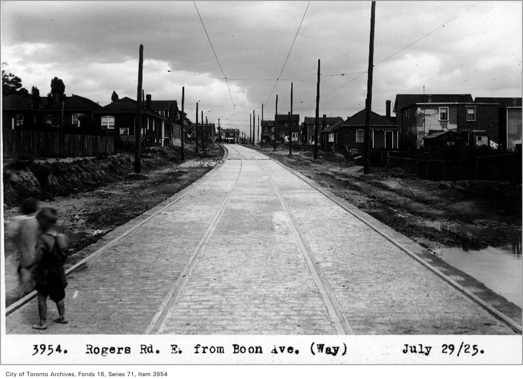
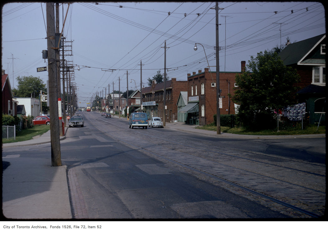
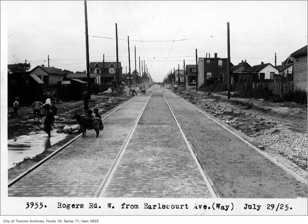
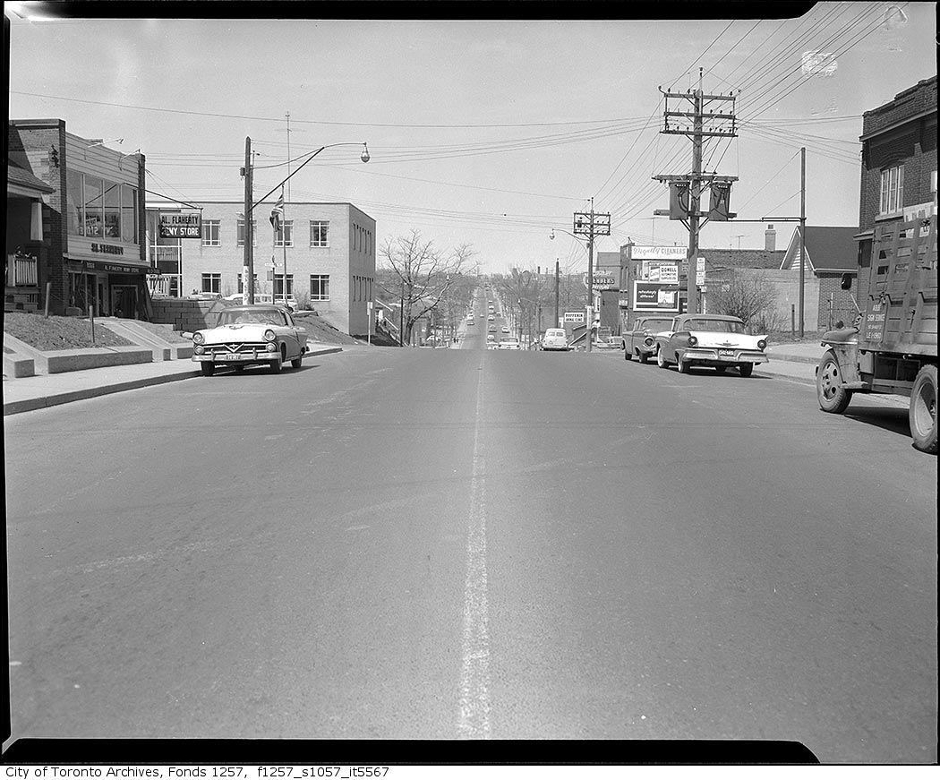
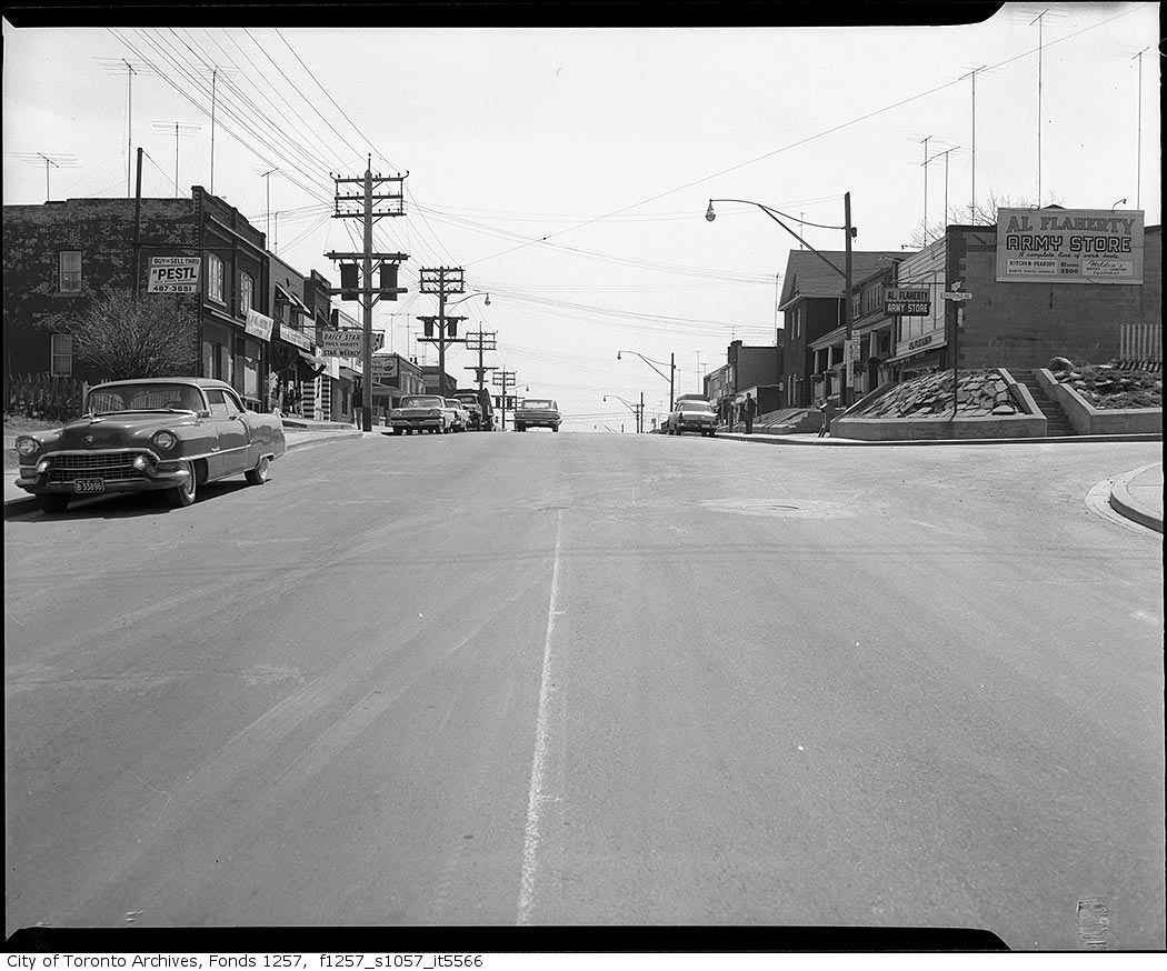
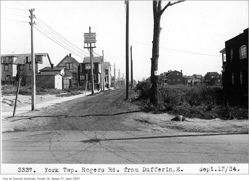
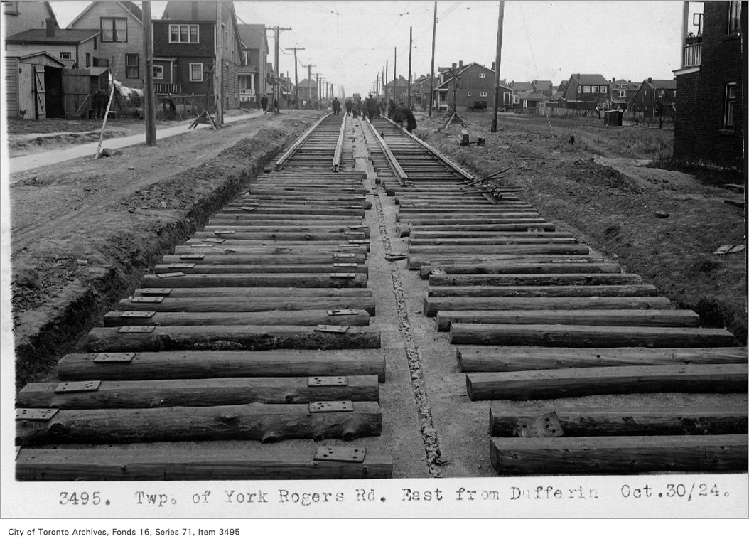
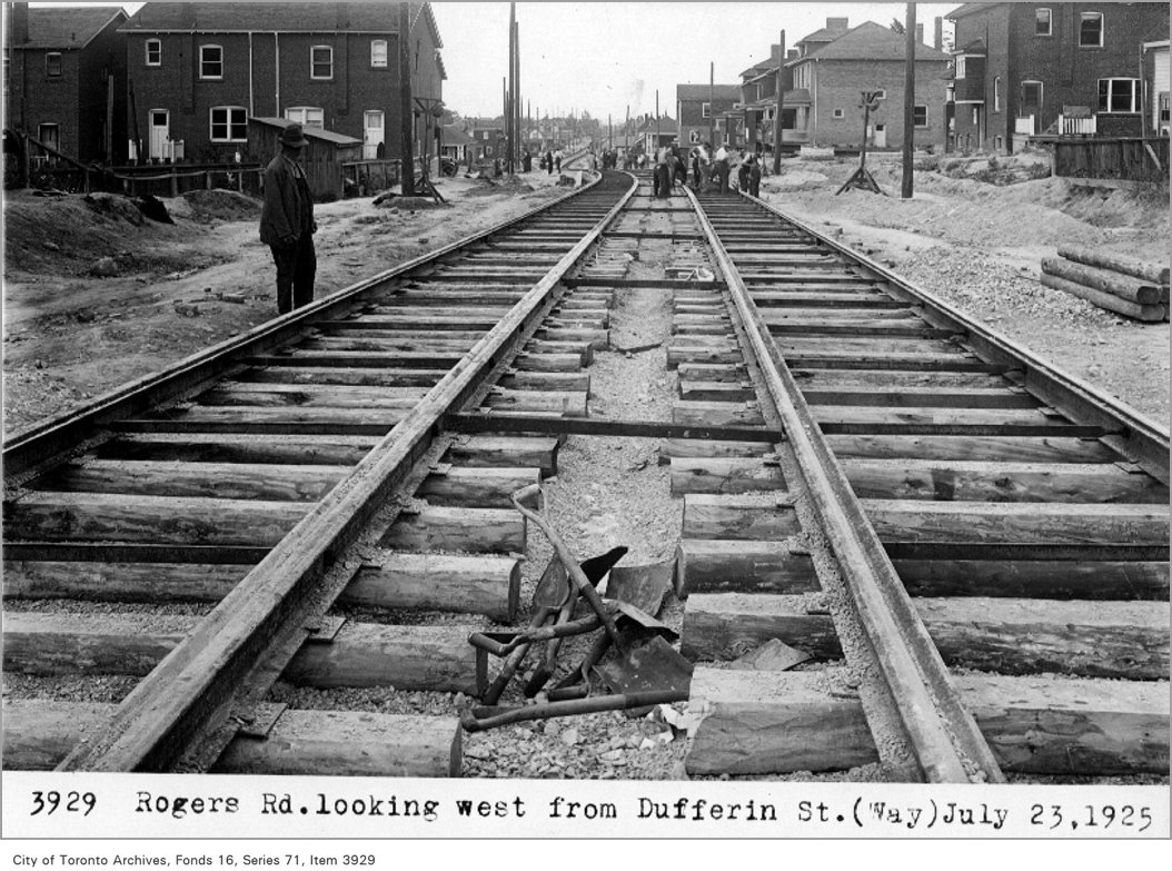
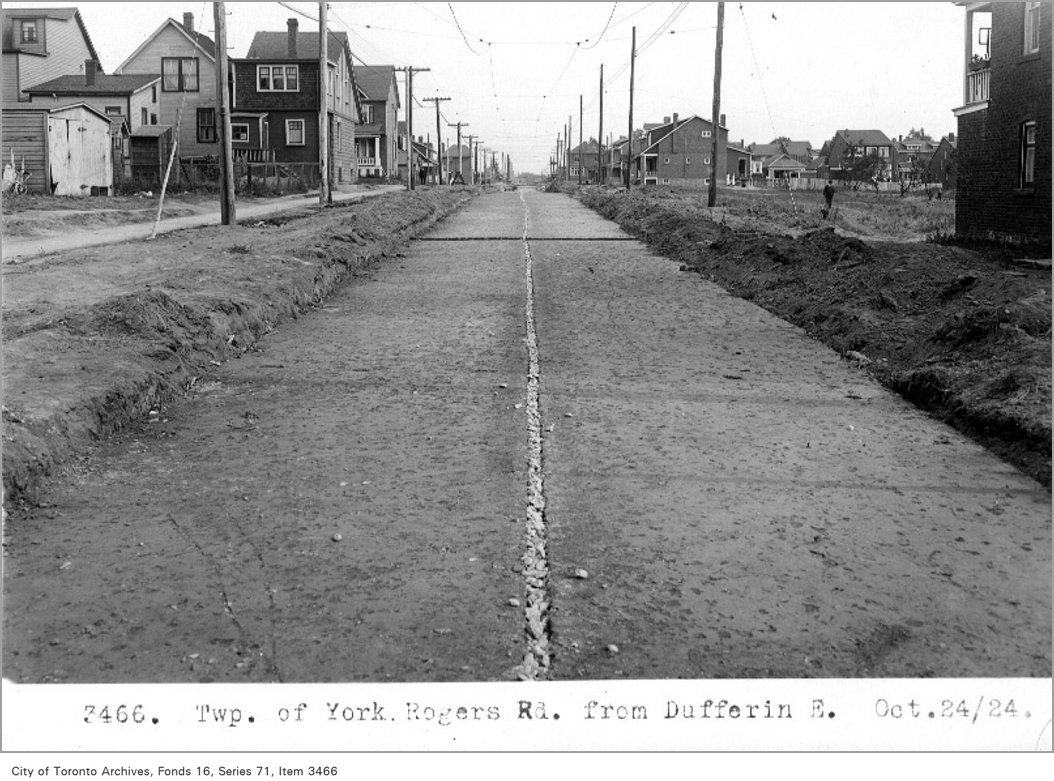
How Caledonia-Fairbank compares with the rest of Toronto →Archive photos from near this address: myaddressintoronto.com/address/64-bloem-ave#sec-history