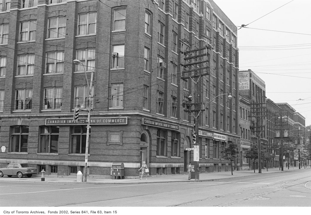
16 Oxley St
16 Oxley St is in Wellington Place, on the City's Heritage Register. A 52‑storey building with 852 homes and shops is under review 152 m away.
Data as of Nov 11, 2026 · Every item lists its source
- It is in a Heritage Conservation District (King-Spadina HCD) (Part V).
- A public hearing on Nov 25 about a minor variance at 370 King St W, 221 m away.
- A 52-storey building with 852 homes and shops is under review, 152 m away.
- Assaults, break-ins and thefts over $5,000 in Wellington Place were above the Toronto rate in 2025.
- 16 collisions killed or seriously injured someone within 500 m since 2021; 7 involved pedestrians.
01What’s planned near 16 Oxley St
14 planning proposals within 250 m (about a 3‑minute walk): 12 in progress and two decided recently. Some cover several addresses; each proposal is listed once. That's more than at almost all Toronto addresses.
In progress
- 13-storey building with shops322 1/2 Queen St W and 1 more address · 101 m awaySite plan: City review of the design and layout of a new building
City planners are reviewing it. Residents can comment before a decision is made.
INACTIVE Site Plan Approval Application for a proposed 3-storey non-residential building having a gross floor area of approximately 1152.40 square metres.File 19 217032 STE 10 SA · submitted Sep 6, 2019 · City record and how to commentAll 2 addresses
- 224-storey building with shops147 Spadina Ave · 117 m awayRezoning: a request to change the Official Plan or zoning so something new can be built226 homes16,373 m² of floor space
It has been appealed to the Ontario Land Tribunal (formerly the OMB), which will make the final decision.
Revised Zoning Amendment application to redevelop the site with a 24-storey mixed-use building with a height of 76.8 meters (82.8 metres including the mechanical penthouse). A non-residential gross floor area of 351 square metres is…File 21 208078 STE 10 OZ · submitted Sep 3, 2021 · City record and how to comment - 325-storey building with shops147 Spadina Ave · 117 m awaySite plan: City review of the design and layout of a new building
City planners are reviewing it. Residents can comment before a decision is made.
Site plan approval application to redevelop the site with a 25-storey mixed-use building with a height of 79.8 metres (85.8 including the mechanical penthouse). A non-residential gross floor area of 433.6 square metres is proposed along…File 21 236578 STE 10 SA · submitted Nov 10, 2021 · City record and how to comment
- 452-storey building · 852 homes and shops111 Peter St · 152 m awaySite plan: City review of the design and layout of a new building852 homes · affordable rental
City planners are reviewing it. Residents can comment before a decision is made.
Site Plan Approval for a new 52-story residential tower atop of the existing 9-story office building with ground-floor retail. This design includes 852 residential units, 24 of which will be affordable rentals, while maintaining the…File 24 243649 STE 10 SA · submitted Nov 26, 2024 · City record and how to comment - 5387 homes355-359 Adelaide St W and 3 more addresses · 189 m awayCondominium: a request to divide a building into condominium units387 homes
City planners are reviewing it. Residents can comment before a decision is made.
*** Draft Plan of Condominium for 387 units.File 21 230436 STE 10 CD · submitted Oct 25, 2021 · City record and how to commentAll 4 addresses
355-359 Adelaide St W · 355 Adelaide St W · 46 Charlotte St · 16 Oxley St
- 6Site plan443 Queen St W · 192 m awaySite plan: City review of the design and layout of a new building887 m² of floor space
City planners are reviewing it. Residents can comment before a decision is made.
Queen-Spadina Ontario LineFile 23 138638 STE 10 SA · submitted Apr 27, 2023 · City record and how to comment - 7Subdivision261 Richmond St W and 4 more addresses · 197 m awaySubdivision: a request to divide land into new lots and streets
City planners are reviewing it. Residents can comment before a decision is made.
File 21 184321 STE 10 SB · submitted Jul 14, 2021 · City record and how to commentAll 5 addresses
261 Richmond St W · 263 Richmond St W · 267 Richmond St W · 41 Widmer St · 59 Widmer St
- 842-storey building261 Richmond St W and 4 more addresses · 197 m awayRezoning: a request to change the Official Plan or zoning so something new can be built693 homes79,711 m² of floor space
It has been appealed to the Ontario Land Tribunal (formerly the OMB), which will make the final decision.
Zoning By-law Amendment application to permit a mixed-use development including two buildings, 37 and 42 storeys in height (131.0 metres and 145.2 metres, respectively, including mechanical penthouses). Proposed uses include two levels of…File 19 144266 STE 10 OZ · submitted Apr 24, 2019 · City record and how to commentAll 5 addresses
261 Richmond St W · 263 Richmond St W · 267 Richmond St W · 41 Widmer St · 59 Widmer St
- 939-storey building with shops363 Adelaide St W and 2 more addresses · 215 m awaySite plan: City review of the design and layout of a new building
City planners are reviewing it. Residents can comment before a decision is made.
Site Plan Approval application to facilitate the redevelopment of the site with a 39-storey (134 metre tall) mixed-use building with a non-residential gross floor area of 204.5 square metres and a residential gross floor area of 27,846.5…File 21 249606 STE 10 SA · submitted Dec 17, 2021 · City record and how to commentAll 3 addresses
- 10Minor variance370 King St W · 221 m awayCommittee of Adjustment · Minor variance: permission to bend a zoning rule, such as height, size or setbacks
A public hearing is set for Nov 25, 2026 at 9:30 a.m. Neighbours can send comments or speak at the hearing.
To alter the development standards (as approved under Site Specific Zoning By-law 439-87), for the 19-storey hotel building by converting the office space into hotel suites from floors 2 to 8, increasing the number of hotel suites from…File A0671/26TEY · submitted Sep 17, 2026 · look it up on the City’s Application Information Centre - 1119-storey building · 196 homes and shops8 Camden St · 223 m awaySite plan: City review of the design and layout of a new building196 homes
City planners are reviewing it. Residents can comment before a decision is made.
Site Plan Application to permit a 19-storey mixed use building with retail space on the ground floor and 196 residential units above.File 23 196849 STE 10 SA · submitted Sep 1, 2023 · City record and how to comment - 1219-storey building · 117 homes and shops444 Richmond St W and 2 more addresses · 236 m awaySite plan: City review of the design and layout of a new building117 homes
City planners are reviewing it. Residents can comment before a decision is made.
Site Plan Approval application for a proposed 19-storey mixed-use building comprised of 117 residential dwelling units, 339 square metres of retail space on the ground floor.File 22 243062 STE 10 SA · submitted Dec 29, 2022 · City record and how to commentAll 3 addresses
Development Applications and Committee of Adjustment Applications, City of Toronto. A proposal that covers several addresses or City files is listed once. Inactive: the City’s file is still open but marked inactive. Decided: development files submitted in the last 4 years; Committee of Adjustment decisions in the last 2 years.
Noise permits nearby
- 182-184 Spadina Ave · 182 Spadina Ave
Construction · Manga Hotels (Spadina)Sept 15, 2025 to May 28, 2027 · 6 am to midnight
390 m away - Forma Tower · 266 King St W
Construction · EllisDonFeb 1, 2026 to Feb 1, 2027 · 7 to 7 am
545 m away - Toronto Climate Week Official Celebration · 192 Spadina Ave
Amplified soundJune 5, 2026 to June 5, 2027 · 3 to 11 pm
445 m away - Forma by Frank Gehry · 266 King St W
Continuous concrete pour · GG DuncanSept 2, 2026 to Feb 27, 2027
545 m away - FORMA East Tower · 266 King St W
Construction · EllisDonNov 3, 2026 to Jan 1, 2027 · 6 am to 11 pm
545 m away
City of Toronto Noise Exemption Permits: permits that let a site go past the noise bylaw’s limits for a set time (amplified sound for an event, construction outside normal hours, a concrete pour). Upcoming and current permits within 600 m. Events run by individuals show their name only for street parties, festivals and markets.
02Street work near 16 Oxley St
4 City road or sidewalk projects are planned within 500 m. The closest: road resurfacing on Nelson St, Duncan St to John St, Q1 to Q4 2027.
Source: City of Toronto Road Reconstruction, Road Resurfacing and Sidewalk Construction programs (planned work within 500 m), and Utility Cut Permits. Dates are the City’s plan and can move. “Carried over” means the work was due earlier and is still listed.
03Safety near 16 Oxley St
Police recorded 457 major crimes within 500 m of this address from Oct 2025 to Sep 2026. That's more than at almost all Toronto addresses. The table compares the neighbourhood's rates with Toronto's.
Wellington Place compared with Toronto · rate per 100,000 residents, 2025
| Major crime | Near this addresswithin 500 m, last 12 months | Compared with the Toronto rate | Difference |
|---|---|---|---|
| Break-ins | 102 near this address | 55% higher294 vs 190 per 100,000 | |
| Assaults | 290 near this address | 52% higher1,170 vs 768 per 100,000 | |
| Thefts over $5,000 | 27 near this address | 44% higher87 vs 61 per 100,000 | |
| Robberies | 24 near this address | About the same82 vs 79 per 100,000 | |
| Car thefts | 14 near this address | 57% lower98 vs 225 per 100,000 |
Source: Toronto Police Service Public Safety Data Portal, Major Crime Indicators (Oct 4, 2025 to Sep 30, 2026) and Neighbourhood Crime Rates. Reported incidents only; police place each incident at the nearest intersection. Five-year trends for Wellington Place
Traffic safety
16 collisions killed or seriously injured someone within 500 m since 2021; 7 involved pedestrians, 8 involved cyclists and 1 was fatal. Most were on Spadina Ave and Front St W. Wellington Place has more of these collisions per resident than most neighbourhoods.
- Queen St W at Spadina Ave · Pedestrian, seriously injured · Apr 14, 2026 · 288 m
- Adelaide St W at Spadina Ave · Pedestrian, seriously injured · Mar 3, 2026 · 61 m
- King St W at Spadina Ave · Cyclist, seriously injured · Feb 12, 2025 · 112 m
- Spadina Ave at Front St W · Cyclist, seriously injured · Jul 16, 2024 · 416 m
Source: Toronto Police Service, collisions in which someone was killed or seriously injured (since 2021, within 500 m); City of Toronto School Safety Zones and Traffic Calming Database.
Other crimes near this address
| Last 12 months | Within 500 m | Wellington Place, per 100,000 residents | Compared with other neighbourhoods |
|---|---|---|---|
| Shootings and firearm discharges | 4 | 31 | Higher than most |
| Bicycle thefts | 62 | 329 | Higher than most |
| Thefts from vehicles | 69 | 313 | Higher than most |
Toronto Police Service: Shootings and Firearm Discharges, Bicycle Thefts and Theft From Motor Vehicle, June 2025 to June 2026. Police place each incident at the nearest intersection.
04Getting around from 16 Oxley St
The nearest subway station is St Andrew Station (Line 1), about a 12‑minute walk (0.8 km). Within a 5‑minute walk there are 14 TTC stops served by the 504, 510, 503 and 501 streetcars, with about 5,246 departures on a typical weekday. The nearest GO train station is Union Station GO, 1.1 km away, with 354 train stops on a weekday.
Source: TTC · Line 1 · about 12 min walk
Source: GO Transit · 354 train stops on a weekday
TTC and GO Transit schedules for a typical weekday (Nov 11, 2026). Walking times are estimates. Bike Share Toronto station data; City of Toronto Cycling Network and Permit Parking Areas.
How reliable are your routes?
| Route | Delays reported | Per 1,000 trips | Compared with other TTC routes |
|---|---|---|---|
| 504 | 1,782 | 7.1 | more than most routes |
| 510 | 746 | 4.7 | more than most routes |
| 503 | 881 | 7.2 | more than most routes |
| 501 | 2,049 | 10.7 | more than most routes |
TTC Bus and Streetcar Delay Data, September 2025 to September 2026: incidents the TTC logged as delaying service. Per 1,000 trips uses each route’s weekday schedule, so busy routes aren’t penalized for running more vehicles. A typical route: 4.0.
Charging and bike parking
- EV charging: 10 Portland St
City-run (Green P): 4 Level 2 ports. Next: 10 Soho St, 373 m.372 m - Indoor bike station: Union Station
Secure parking for 160 bikes.1.0 km
City of Toronto: City-operated EV charging stations (private chargers aren’t included); indoor bike stations, shown within 1.5 km.
05Schools and child care near 16 Oxley St
The closest public and Catholic schools. They may not be the ones assigned to this address; check with the Toronto District School Board (TDSB) or Toronto Catholic District School Board (TCDSB).
Elementary schools
Share of Grade 6 students meeting the provincial standard. Toronto: 87% reading, 54% math.
Secondary schools
Share of students who passed the Grade 10 literacy test on their first try. Toronto: 84%.
The red tick on each bar is the Toronto average. Source: Ontario Ministry of Education (2026), EQAO results.
Within 500 m (about a 6‑minute walk): seven licensed child care centres and no EarlyON centres.
Last health inspection Jan 23, 2026: pass.
Last health inspection Sep 18, 2026: pass.
Last health inspection Jan 27, 2026: pass.
Source: City of Toronto Licensed Child Care Centres, EarlyON Child and Family Centres, and ChildCareSafe (Toronto Public Health inspections).
06Parks, trees and libraries near 16 Oxley St
There are 3 parks and 1 playground within 500 m. The nearest pool is Harrison Pool, 584 m away.
Parks and community centres within 500 m
- Clarence Square Park · dog off-leash area · 25 Clarence Sq · 275 m
- Grasett Park · 303 Adelaide St W · 280 m
- St. Andrew's Playground · dog off-leash area, playground · 450 Adelaide St W · 363 m
- David Pecaut Square · 215 King St W · 520 m
- Draper Park · 19 Draper St · 521 m
Pools, courts and more
Also nearby
Source: City of Toronto Parks and Recreation Facilities, Registered Programs and Drop-In Programs, Tennis Courts, Outdoor and Indoor Ice Rinks, Washroom Facilities, Off-Leash Areas, Street Tree Data; Toronto Public Health SwimSafe and Beach Water Quality; Toronto Public Library branches.
Park space
Park projects nearby
- New Park at 105 Spadina Avenue
A new 1,000 m2 park is coming to 105 Spadina Ave., at the southeast corner of Spadina Avenue and Adelaide Street.In progress · 54 m - New Park at 229 Richmond Street West
A new 2,600m2 park is coming to 229 Richmond St. W. The park site is currently leased to a restaurant and used as an outdoor patio.In progress · 464 m - New Park at 464-470 Queen Street West
A new park is coming to 464-470 Queen St. W., at the corner of Queen Street West and Augusta Avenue in the Alexandra Park neighbourhood.In progress · 476 m - Victoria Memorial Square Park Improvements
The City is improving Victoria Memorial Square Park. Learn more about the project and how you can get involved.In progress · 645 m - Canoe Landing Park Off-Leash Area Improvements
The City is improving the off-leash area in Canoe Landing Park.In progress · 797 m
City of Toronto: Green Spaces (parks, natural areas and conservation land; hydro corridors, golf courses, cemeteries and road verges aren’t counted); Park and Recreation Facility Projects within 1.5 km.
07The building at 16 Oxley St
There are no building permits, building orders, by-law investigations or short-term rental registrations on record for 16 Oxley St. Here is what the City does have.
Source: Heritage Register
The lot
Measured from the City’s property boundary map. It’s compiled from records of varying age, so treat these as approximate; a survey is the legal measure.
Green roof and solar permits
No green roof or solar hot water permits at this address. Within 500 m: 41 with a green roof.
City of Toronto Building Permits: Green Roofs, and Solar Hot Water Heaters.
08What can be built at 16 Oxley St
CRE (Commercial Residential Employment) zoning allows a mix of shops, offices, workplaces and homes. The numbers below are the main limits; the full rules depend on the lot.
Source: Zoning By-law 569-2013, chapter 50
Source: Height overlay
Source: Zone label (x)
Special areas
Source: City of Toronto Zoning By-law 569-2013 (zone, height and lot coverage overlays), Heritage Conservation Districts, Major Transit Station Areas, Secondary Plans and Archaeological Potential. This is a summary, not a zoning review. Read the by-law and see the City’s map.
09Around the block
Stays of less than 28 days, like Airbnb. That's more than at almost all Toronto addresses.
Houses that rent individual rooms with shared kitchens or bathrooms. The City licenses them to enforce safety standards.
Pala the Well (take-out or food shop), Probably Nothing (take-out or food shop), Union Chicken (take-out or food shop), and 26 more.
295 Adelaide Street West (350 m), 99 John Street (383 m), 320 Front Street West (399 m), and 1 more.
Homes in City-backed affordable housing projects that are approved or under way.
Streets to Homes Assessment and Referral Centre (SHARC) (263 m), Eva's Phoenix (352 m), Wagner Green YMCA (397 m).
All new business licences in Wellington Place (29)
- Pala the Well · Take-out or food shop · 486 Front St W · 537 m · licensed Nov 5, 2026
- Probably Nothing · Take-out or food shop · 50 Brant St · 333 m · licensed Nov 1, 2026
- Union Chicken · Take-out or food shop · 50 Brant St · 333 m · licensed Nov 1, 2026
- Second Cup Cafe · Restaurant or bar · 287-289 King St W · 374 m · licensed Oct 31, 2026
- Lux Vapes · Vape shop · 615 King St W · 585 m · licensed Oct 28, 2026
- Library Coffee · Restaurant or bar · 200 Wellington St W · 541 m · licensed Oct 28, 2026
- Big Way Hot Pot · Restaurant or bar · 235 Queen St W · 646 m · licensed Oct 27, 2026
- Miura Supplements · Take-out or food shop · 300 Richmond St W · 366 m · licensed Oct 16, 2026
- Ayyubi Barber Shop · Salon or personal services · 38 Niagara St · 750 m · licensed Oct 15, 2026
- Skin Vault X Evi Beauty · Salon or personal services · 486 Front St W · 537 m · licensed Oct 6, 2026
- Binto Bento · Restaurant or bar · 409 Richmond St W · 148 m · licensed Oct 6, 2026
- Giannis Gelato · Restaurant or bar · 241-243 Queen St W · 629 m · licensed Oct 5, 2026
Affordable housing projects within 500 m (5)
| Address | Stage | Affordable homes | Distance |
|---|---|---|---|
| 353 Adelaide St W | Rezoning approved | 10 | 54 m |
| 57 Spadina Ave | Rezoning approved | 9 | 178 m |
| 111 Peter St | Rezoning approved | 24 | 219 m |
| 7 Vanauley St | Under construction | 31 supportive | 397 m |
| 260 Adelaide St W | Rezoning approved | 254 | 442 m |
Source: Affordable Housing Pipeline, Rental Housing Demolition and Conversion applications, Short Term Rentals Registration, Multi-Tenant (Rooming) House Licences, Business Licences and Permits (storefront types; owners’ personal names are never shown), POPS, and Daily Shelter Occupancy (Nov 9, 2026). Confidential shelter locations are not published.
Traffic on your street
There’s no recent count on this street. The nearest, on a similar street:
City of Toronto Transportation Services: speed, volume and classification counts since 2016.
Parking tickets on this block
199 tickets in 2025 on Oxley St between numbers 0 and 66: 120 for parking at prohibited times, 74 for other parking offences.
City of Toronto Parking Tickets, 2025. Placed by the street address the officer recorded.
Main street business area
Toronto Downtown West BIA, which includes this address. Business Improvement Areas are local business associations that run street events and improvements.
City of Toronto Business Improvement Areas, within 400 m.
What neighbours report to 311
In the last 12 months, 5,226 service requests came from postal area M5V, which includes 16 Oxley St. The most common:
| Amplified music or instrument noise | 525 | |
| Injured wildlife | 292 | |
| Graffiti on private property | 209 | |
| Property standards | 209 | |
| Posters on City property | 208 | |
| Illegal dumping | 143 |
City of Toronto 311 Service Requests, October 2025 to October 2026. 311 publishes only the first three characters of the postal code, so this covers the wider postal area. Counts reflect how often people call as well as how often problems happen.
10Risks and environment at 16 Oxley St
Source: TRCA Regulation mapping 2025
Source: Non Regulated Lead Sample · 32 tests, May 22, 2014 to Aug 26, 2025
TRCA mapping is for screening, not site-specific decisions. Lead results are voluntary samples from homes in the postal area, not this address.
11The neighbourhood: Wellington Place
Wellington Place had 25,570 residents in 2021. The median household income was $90,000, about the same as the typical Toronto neighbourhood ($85,000). 62% of households rent (typical neighbourhood: 46%). 48% of renters spend 30% or more of their income on housing. 21% of workers commuted by transit and 43% walked or cycled (typical neighbourhood: 26% and 5%). The most common first languages other than English and French are Mandarin (6.8%), Cantonese (3.3%) and Spanish (2.9%). Source: 2021 Census; the next census was taken in 2026.
Rents aren't published for single neighbourhoods. Across central Toronto (the old City of Toronto, before the 1998 amalgamation), a two-bedroom in a purpose-built rental building averaged $2,457 a month in October 2025, up 6% from a year earlier. The Toronto average was $2,055. The vacancy rate was 3.2%. These averages include long-term tenants; new listings usually cost more.
| Average rent, October 2025 | Central Toronto | Change in a year | Toronto |
|---|---|---|---|
| Studio | $1,526 | +2% | $1,499 |
| 1 bedroom | $1,914 | +4% | $1,763 |
| 2 bedrooms | $2,457 | +6% | $2,055 |
| 3 bedrooms or more | $3,195 | 0% | $2,361 |
Source: CMHC, Rental Market Survey (October 2025), purpose-built rental apartments, central Toronto (the old City of Toronto, before the 1998 amalgamation). CMHC doesn’t publish rents for single neighbourhoods. Adapted by My Address in Toronto.
How Wellington Place compares with the rest of Toronto →Handy info
Councillor: Ausma Malik, Ward 10 Spadina-Fort York · Councillor_Malik@toronto.ca · 416-392-4044
Source: Solid Waste Collection Schedule; City of Toronto elected officials, as of Nov 11, 2026.
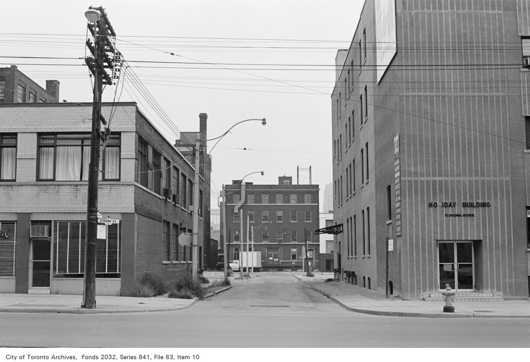
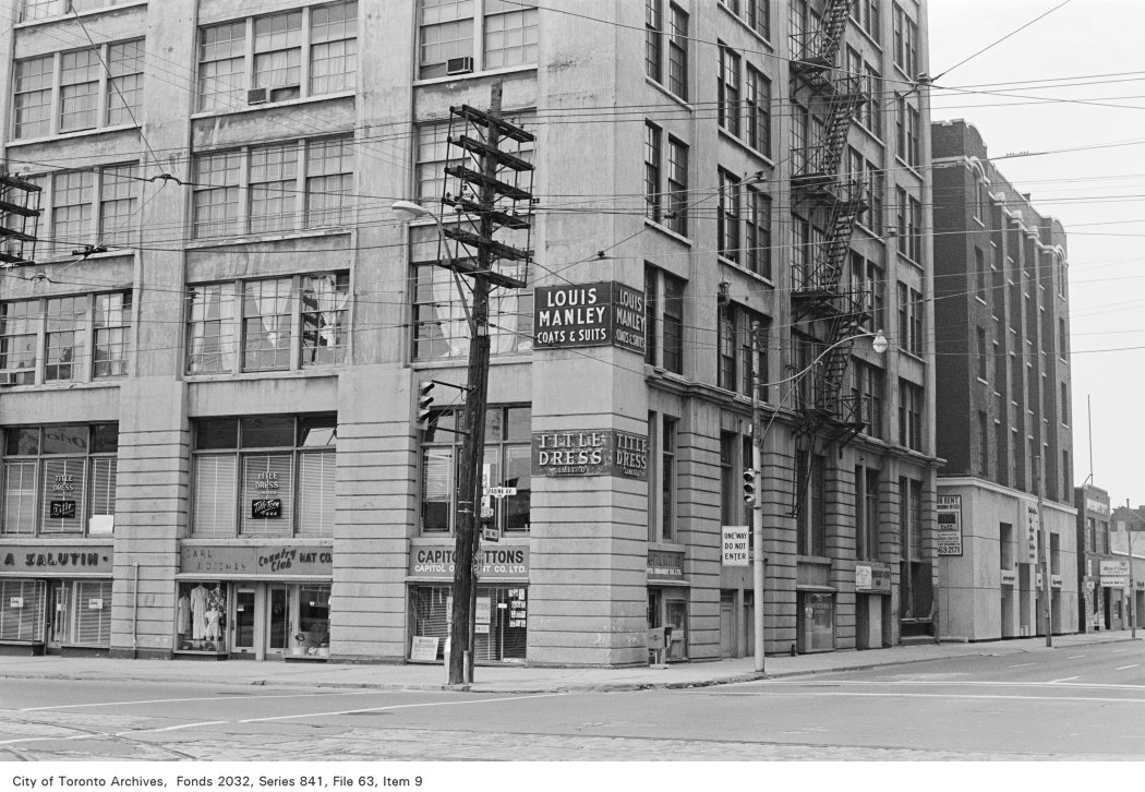
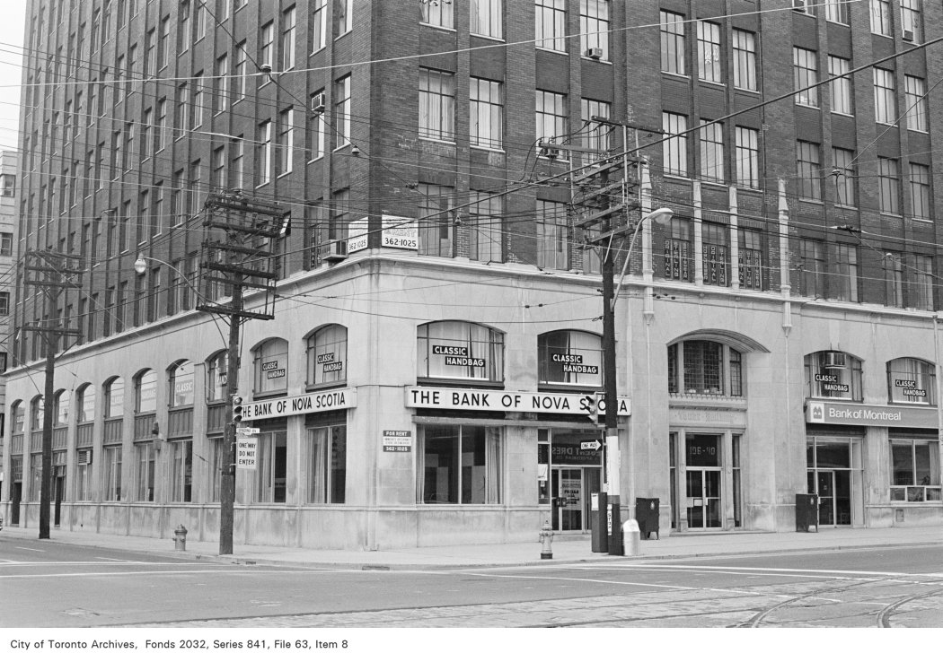
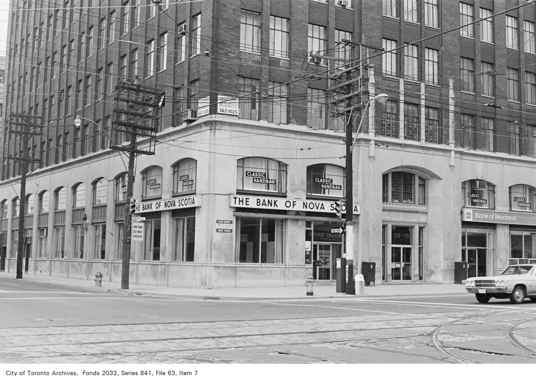
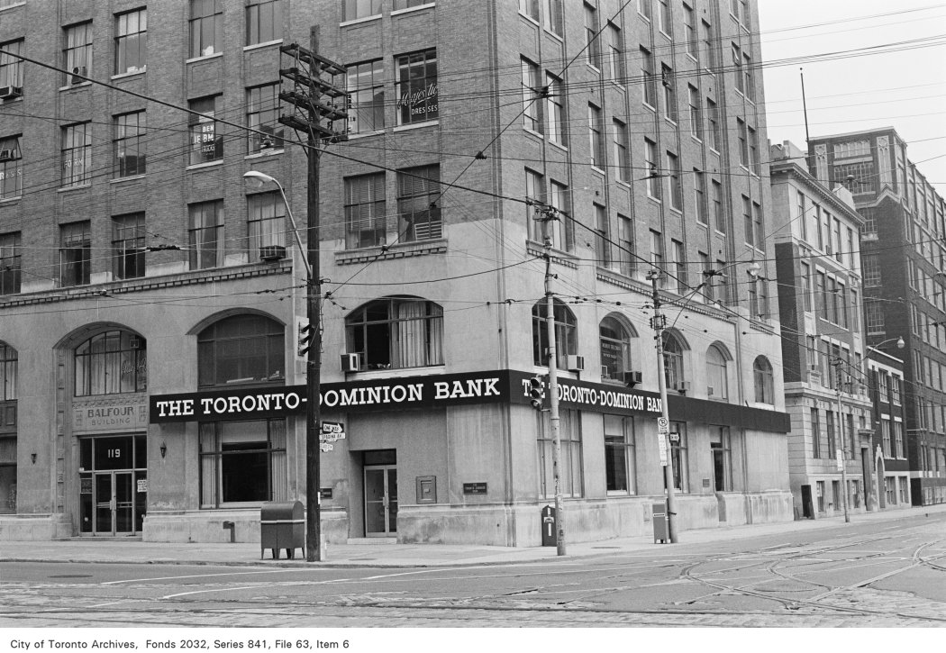
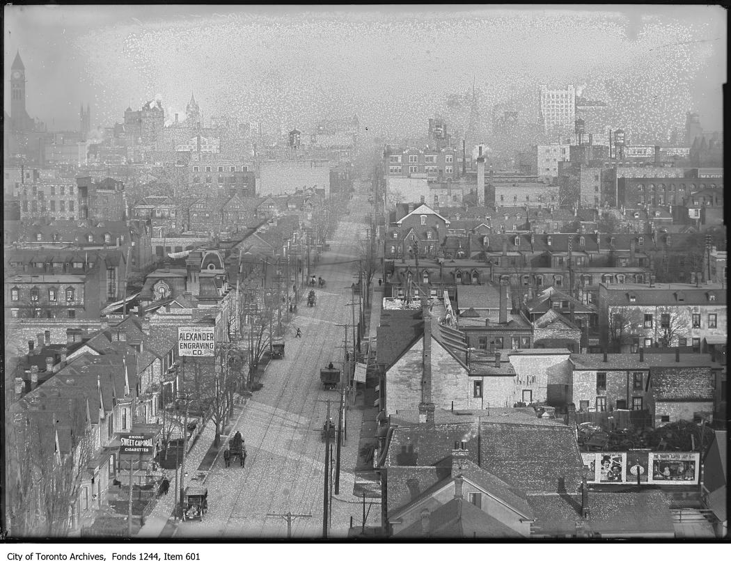
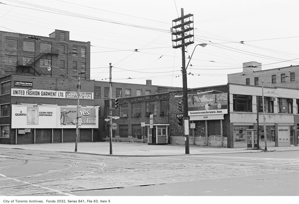
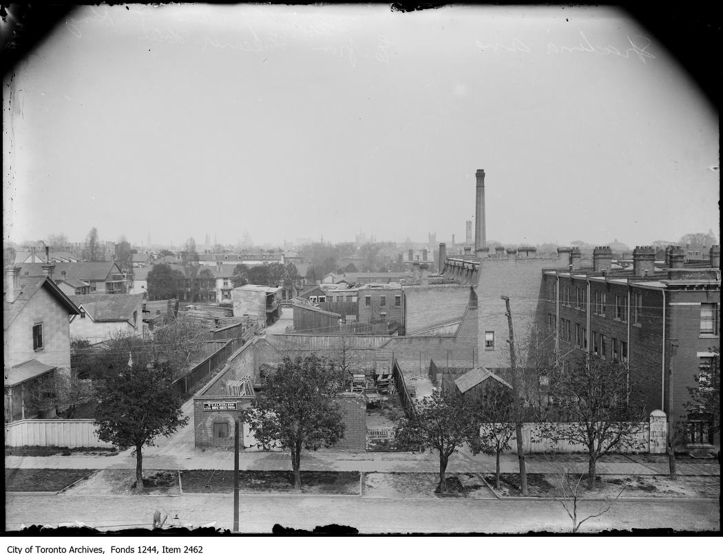
Archive photos from near this address: myaddressintoronto.com/address/16-oxley-st#sec-history